Pete's Walks - Cowleaze Wood, Ibstone, Chinnor (page 1 of 6)
If you are considering walking this route yourself, please see my disclaimer. You may also like to see these notes about the maps and GPX files.
Google map of the walkDownload GPX file of the walk
NOTE (6/11/2025): Parking at Cowleaze Wood is no longer free, there is now a cashless payment system. To see details, click here and then click on the 'Parking and prices' tab.
I did this circular walk of about 16.5 miles on Saturday, 22nd October 2016. It was a repeat of a walk I did in February this year, but in the opposite (anti-clockwise) direction. There were a few short sections of the route that I was walking for the first time in this direction, but it was mainly on paths I've walked many times before.
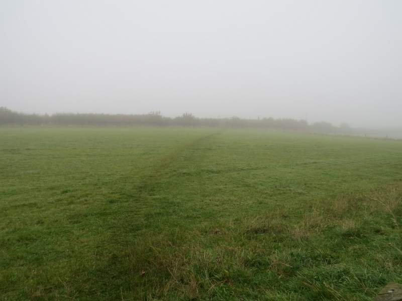
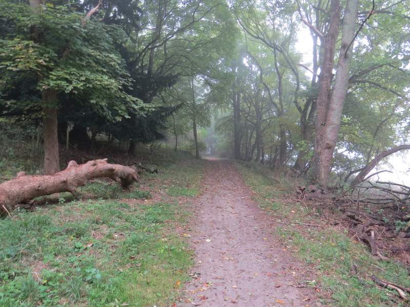
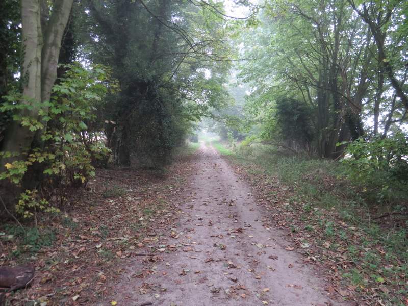
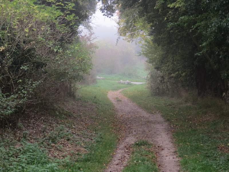
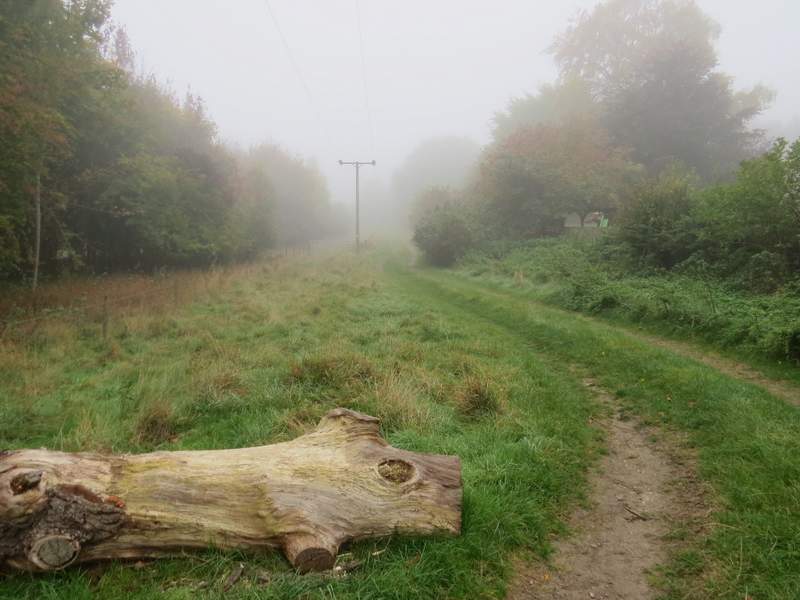
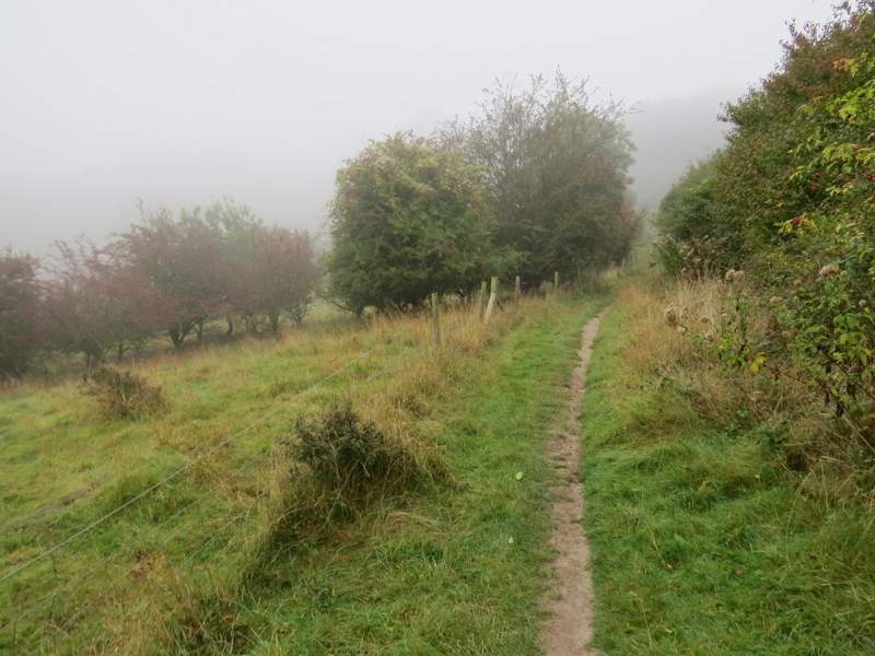
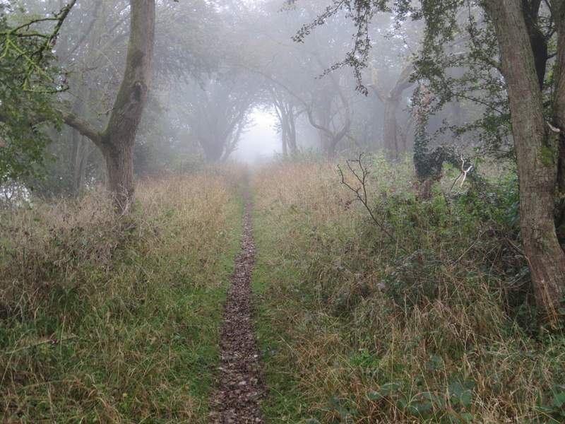
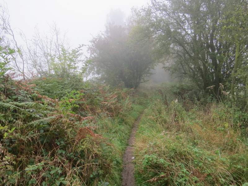
I started walking about 10.05am, from the car park at Cowleaze Wood (grid reference SU 726956) - unfortunately it was a very foggy start to the walk. I walked through the car park with the road to my right, and continued along the path out of the end of the car park. When this ended at the road, I crossed over and took the nearest of two footpaths starting either side of a tree belt (so the tree belt was on my left). The path stayed close to the tree belt as it went through a pasture (part of the Aston Rowant nature reserve, I think). Through a gate, it continued downhill along a track with old hedges either side. After a short distance, it turned right and followed a fence on my right, descending less steeply now. It was a shame about the fog, as without it there would have been far-reaching views out over the Oxfordshire Plain. After several hundred yards I had Old Cricketground Plantations on my right, and eventually the path turned and passed through part of the wood, then continued across an empty pasture to reach part of the Ridgeway national trail.
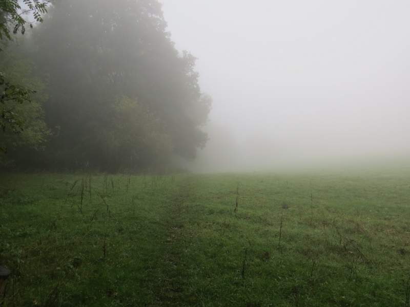
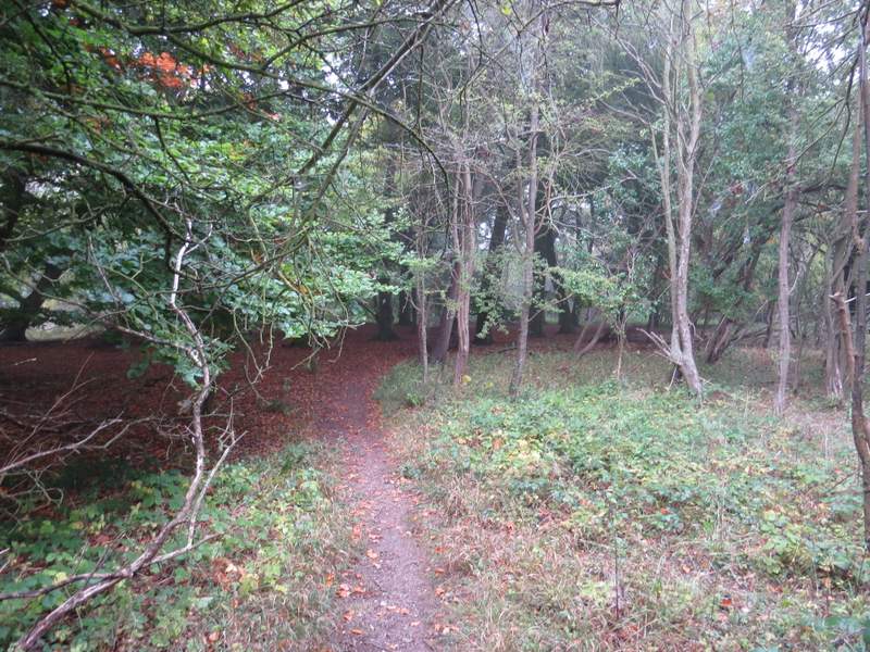
The start of the path from opposite Cowleaze Wood - shame about the fog!
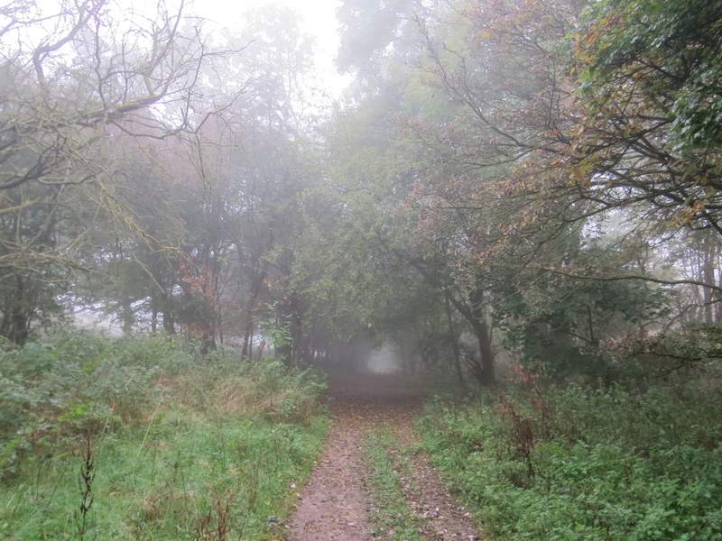
The path from Cowleaze Wood
The path from Cowleaze Wood
The path from Cowleaze Wood
The path continuing through Old Cricketground Plantation (were the cricket team so rubbish they dug up the entire pitch and planted a wood instead?)
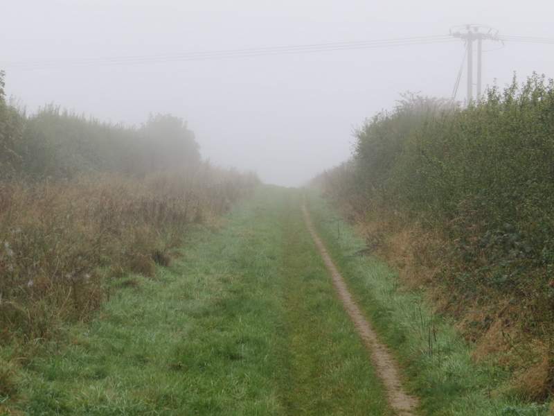
The path as it approaches the Ridgeway
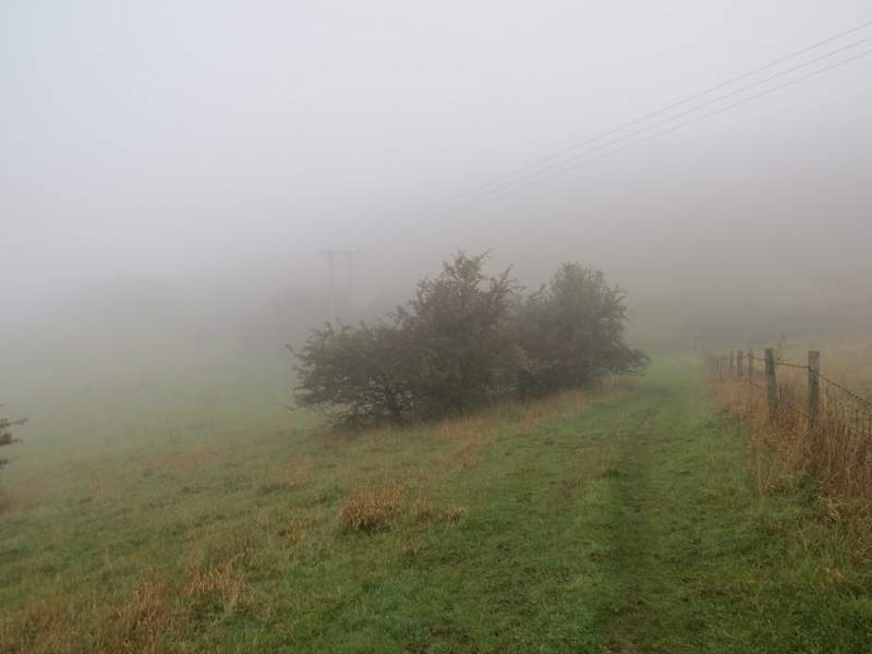
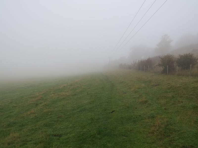
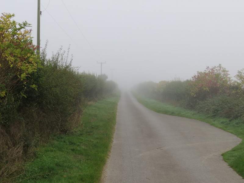
I turned left along the Ridgeway, which here was a broad track with hedges either side. After half a mile or so I had Shirburn Hill on my left, there being a narrow wood along the foot of the hill. It was almost another half mile to pass Shirburn Hill, and then getting on for another mile along the Ridgeway until I reached the drive to Pyrton Hill House, where I turned left (leaving the Ridgeway but joining part of the Oxfordshire Way).
The Ridgeway, heading southwest from the M40 towards Shirburn Hill
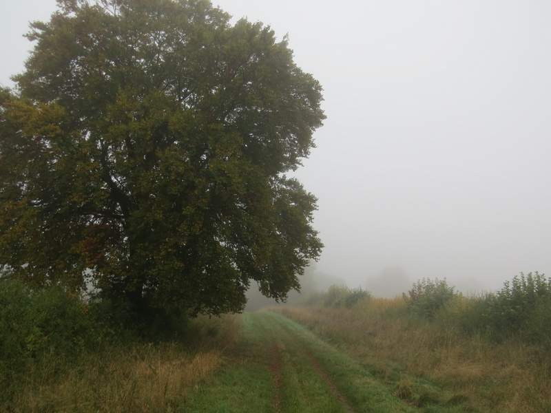
The Ridgeway, heading southwest from the M40 towards Shirburn Hill
The Ridgeway, now passing the foot of Shirburn Hill (to my left)
The Ridgeway, immediately after passing the foot of Shirburn Hill
The Ridgeway, approaching the drive to Pyrton Hill House
I followed the drive to its end (as well as the entrance to Pyrton Hill House, there is a sawmill and a 'cat hotel' here), where a bridleway continued steadily up Pyrton Hill (actually the ascent is between Pyrton and Watlington hills, if anything its nearer the latter). Towards the top of the slope I ignored the path that went off to the right (my usual route to Christmas Common) and followed the bridleway to its end on a minor road.
The drive to Pyrton Hill House
The bridleway continuing from the end of the drive to Pyrton Hill House
The bridleway heading up Pyrton Hill
The bridleway heading up Pyrton Hill
The bridleway heading up Pyrton Hill