Pete's Walks- Christmas Common, Turville, Cadmore End (page 4 of 6)
If you are considering walking this route yourself, please see my disclaimer. You may also like to see these notes about the maps and GPX files.
Google map (this walk started at Christmas Common instead of Watlington Hill, and follow 'Alternative 1' on the map)
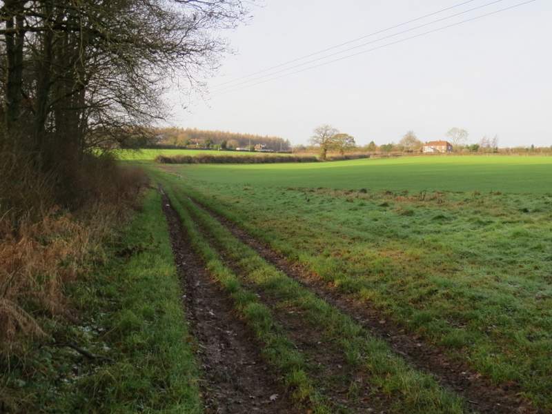
I turned left along the lane, to pass the church on my right - I then spotted a Red Kite landing on a conifer and managed to get a half-decent photo before it flew off. I stopped for lunch on a bench on the green a little further along the lane. I then crossed the green and went across the main road through the village to reach the village school. I walked a little to the right and just past the school I turned left through a car park and followed a forestry track starting at a gate. The track almost immediately went under the M40 (as I'd ate my lunch, I'd pretended the noise of the nearby motorway was actually the sound of a fast-flowing river!) then after another hundred yards or so I took a footpath on the right. This dropped downhill slightly through part of Pound Wood, cutting a corner from the route of the forestry track. I then turned right along the track, soon leaving Pound Wood and a few yards further on entering Leygrove's Wood.
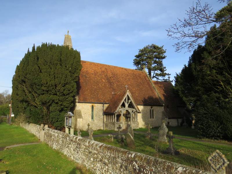
Cadmore End church

Red Kite, perched on a conifer at Cadmore End
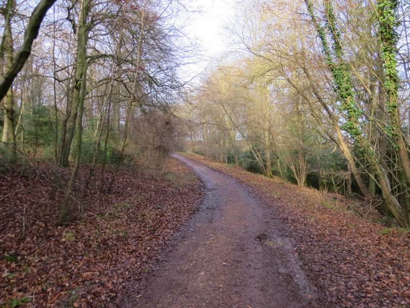
The forestry track through Pound Wood

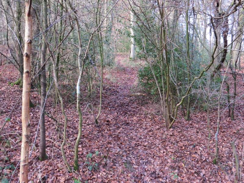
The short path that cuts off a corner of the forestry track
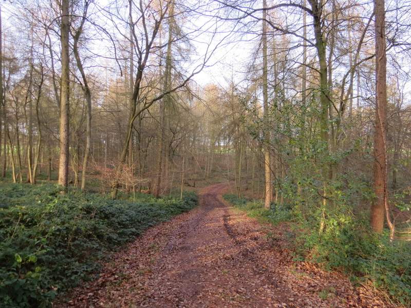
Back on the forestry track
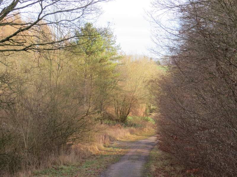
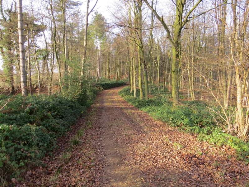
The forestry track, now in Leygrove's Wood
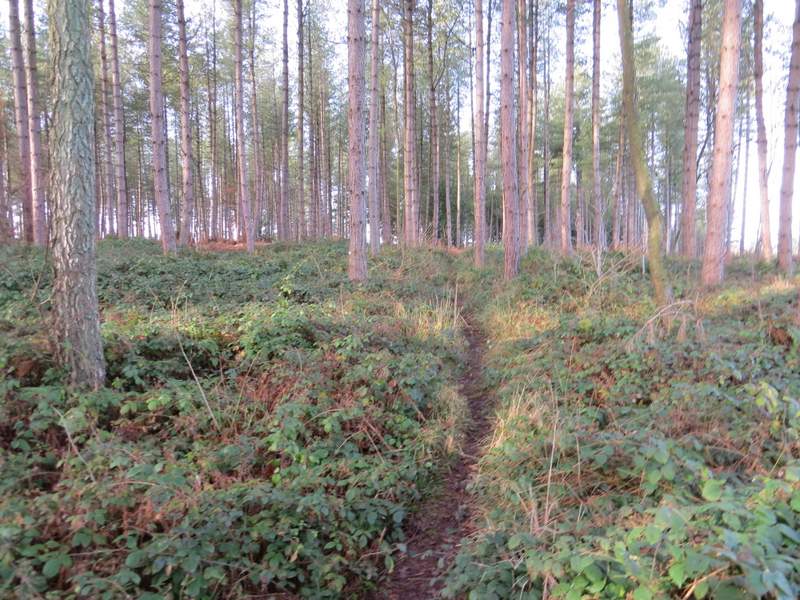
After a few hundred yards I turned left where a footpath crossed the forestry track (marked by a white cross on a tree on the right of the track). This led gently uphill through Leygrove's Wood, soon reaching part of the wood that was mainly conifers. Further on the path joined a wide track (at a path crossroads where I was going straight on). This briefly went close to an edge of the wood on my left, then further on turned right and went slightly up and down to reach another side of the wood. The path turned left alongside the wood, then went half-right and followed a hedge on my left to reach Bigmore Lane.
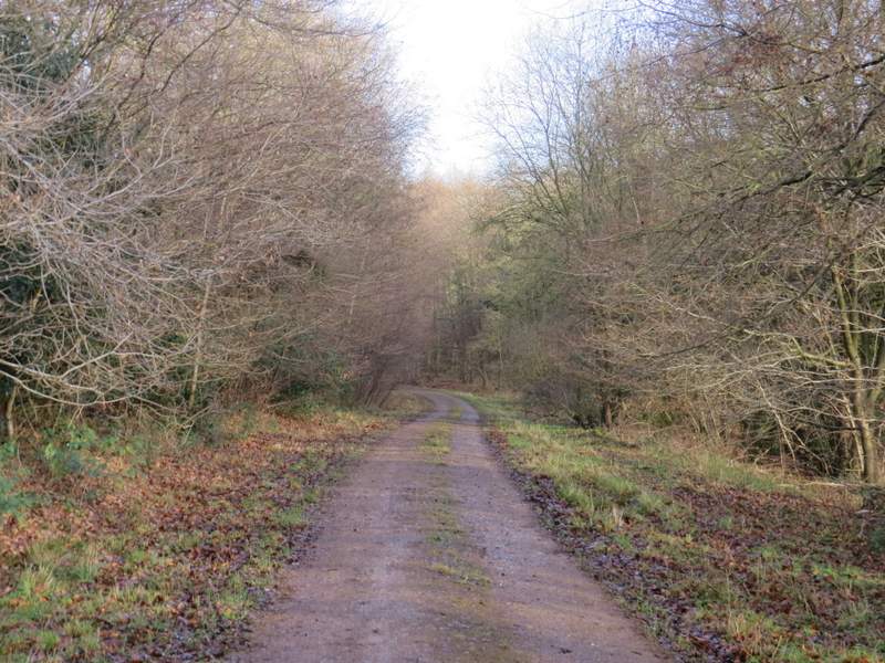
The start of the path going northwest through Leygrove's Wood
The path going northwest through Leygrove's Wood

The path going northwest through Leygrove's Wood
The path going northwest through Leygrove's Wood
The path going northwest through Leygrove's Wood
The path continuing from Leygrove's Wood - it joins Bigmore Lane just right of the house on the right
I turned left and followed the lane for about half a mile to reach its end at a road junction (just after it crossed the M40). Here I went a few yards right, then went down Chequers Lane on the other side of the road. A short way down the lane, opposite a house on the left, a footpath started over a stile in the hedge on the right. This crossed an arable field to a hedge gap, then continued across part of a larger arable field (I initially went a few yards right to pick up the line of some tractor tracks). Through a hedge gap, the path then continued straight on, alongside the left-hand hedge of a third arable field. In the field corner, the path went a few yards right before turning left into a wood (Penley Wood, I think).
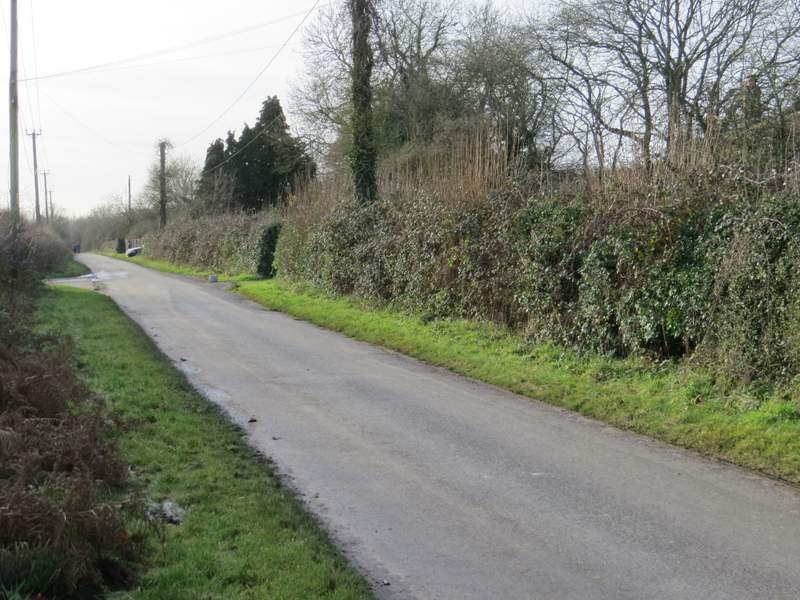
Bigmore Lane
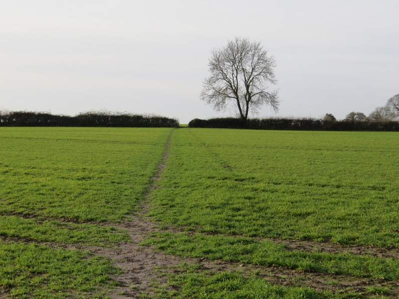
The first field on the path from Chequers Lane
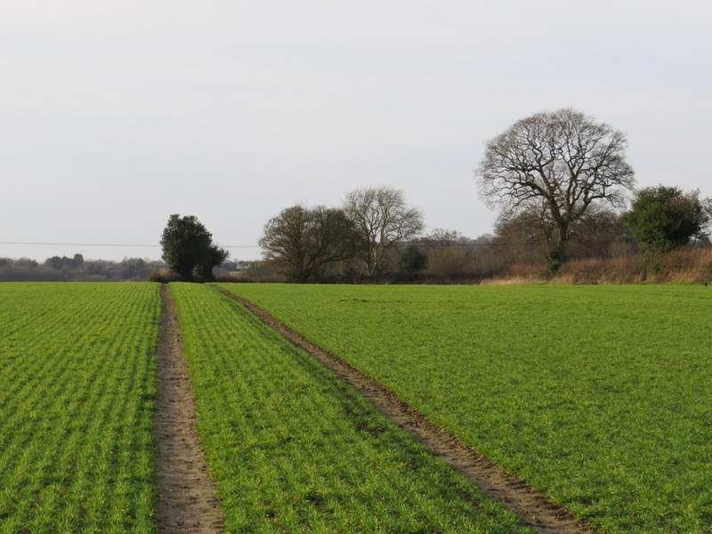
The second field on the path from Chequers Lane
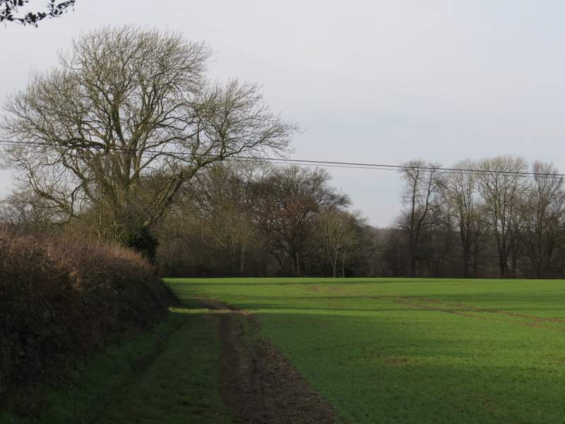
The third field on the path from Chequers Lane