Pete's Walks- Cholesbury and Whelpley Hill (page 3 of 5)
If you are considering walking this route yourself, please see my disclaimer. You may also like to see these notes about the maps and GPX files.
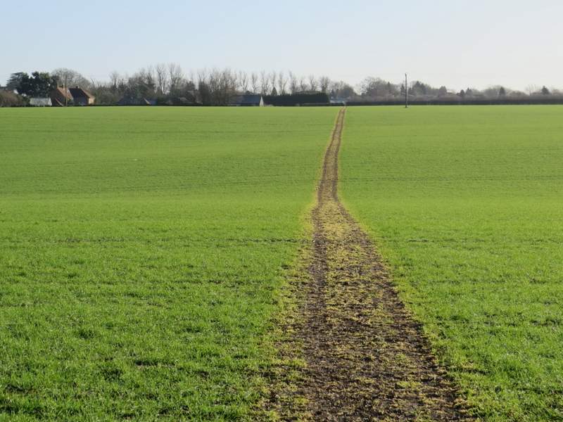
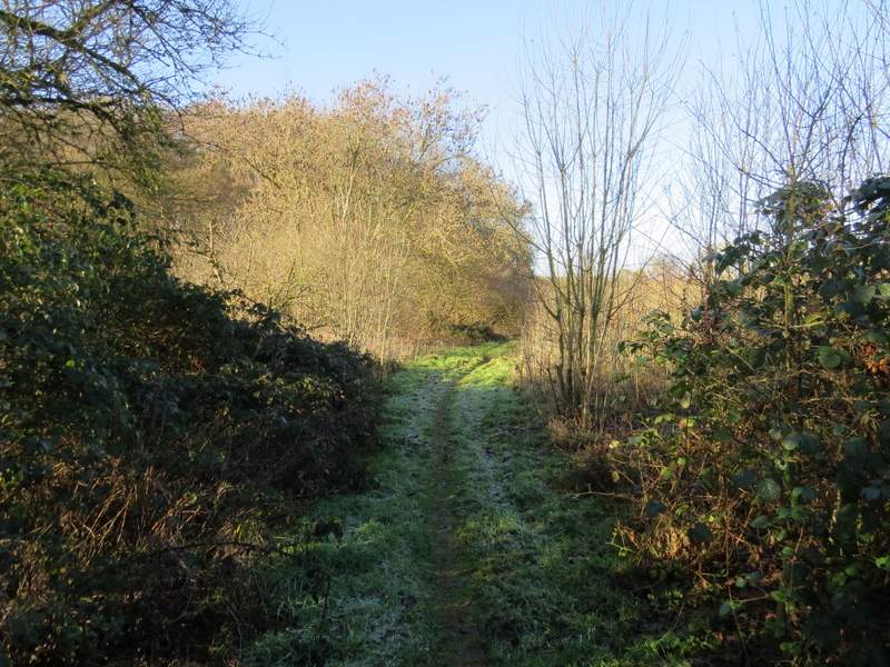
Beyond the gate I went straight on (the other option was left) along a bridleway that brought me to Sale's Farm. Here I went straight on, now on a footpath that crossed a large arable field (this path had been re-instated, fortunately). After passing close to Hemming's Farm on my left, the path ran between wooden fences with paddocks or pastures either side. It then ran through a caravan site, crossing two or three drives, to reach a road in Whelpley Hill, where I turned left and immediately passed a duck pond on my right.
The path to Whelpley Hill, just after Sale's Farm
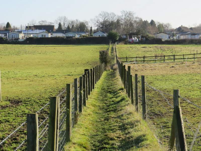
Approaching the caravan site at Whelpley Hill
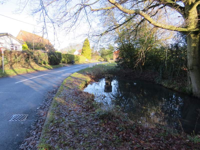
The lane through Whelpley Hill, and the duck pond
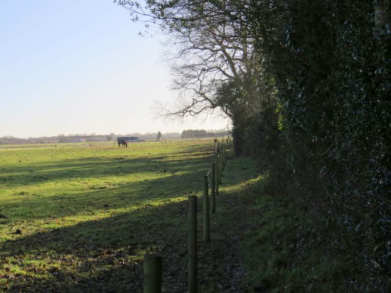
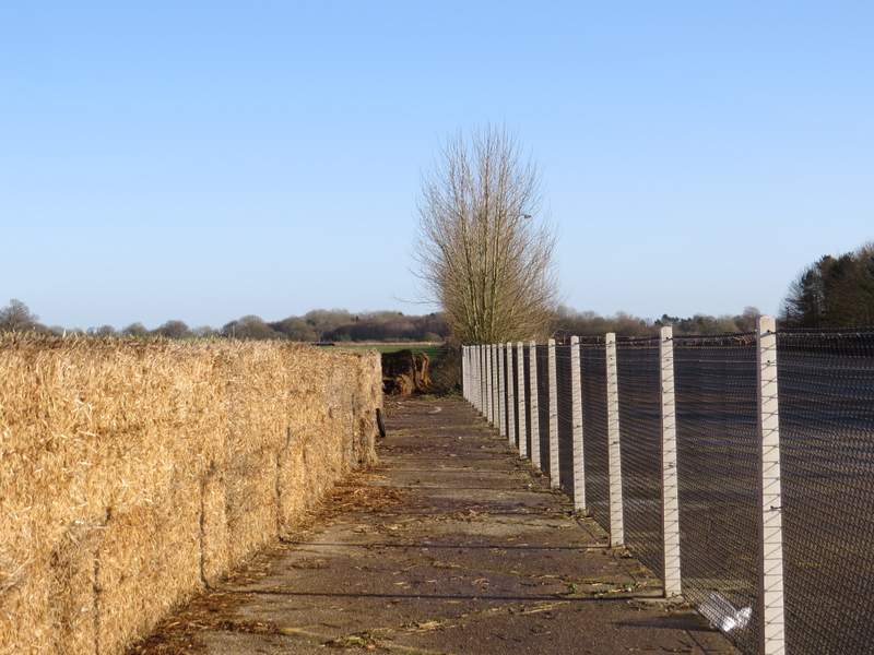
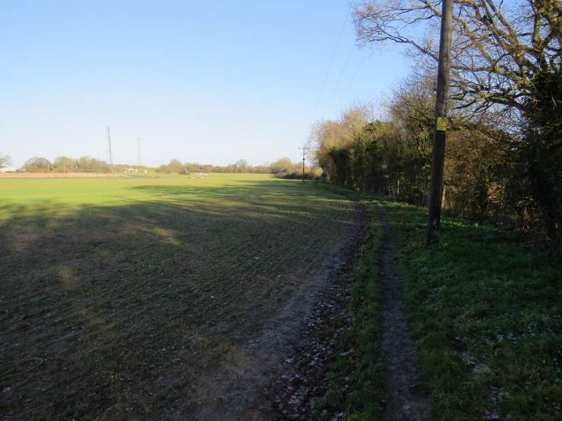
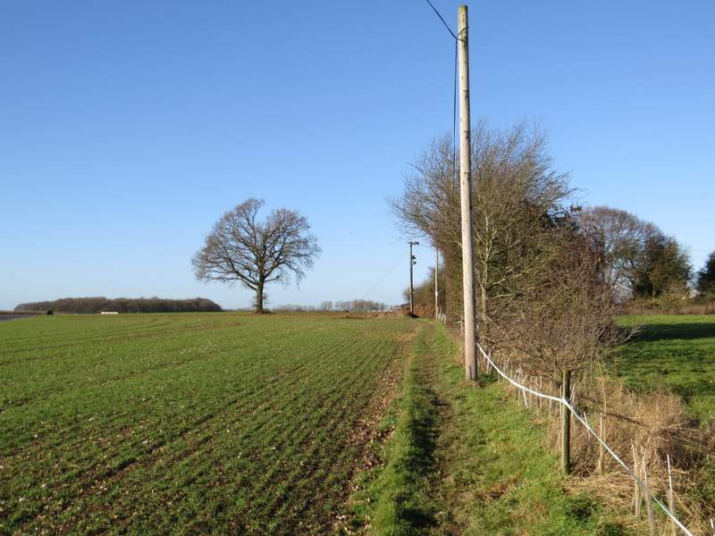
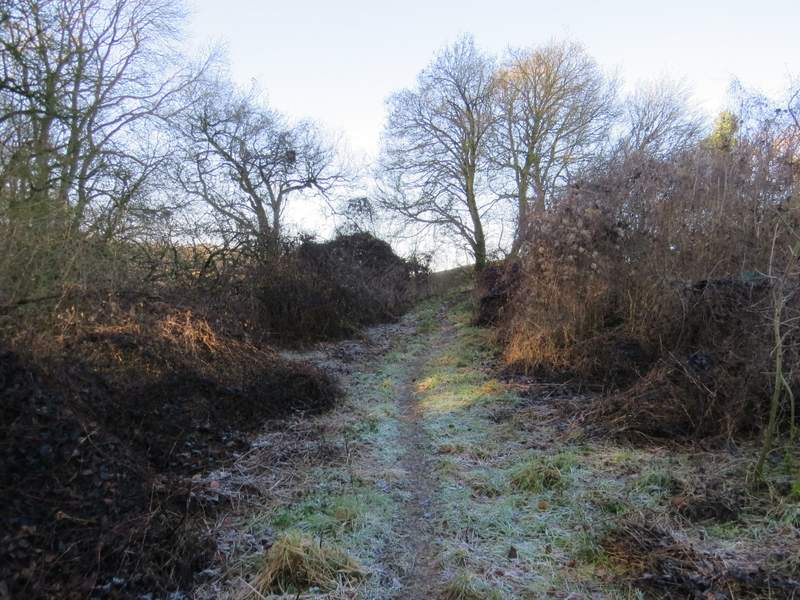
When the road or lane turned left, I went straight on taking a footpath starting by some green gates. This ran between a fence and a tall hedge on my right - there were a few horses in the field on my left, and I saw a few Redwings here too. The path then turned left for a short distance, before turning right and then turning left again alongside a runway on my right - I was now crossing Bovingdon Airfield (the OS map says its 'disused', but there were big warning signs telling walkers to stick to the footpath as the airfield was 'active'). It was a very dull (and, unsurprisingly, flat) half-mile or so beside the runway, then the path went half-right across the runway - there were straw bales on my left here, and beyond them was some sort of motoring or karting circuit. The path then continued beside a hedgerow on my right (a few yards behind the hedge was a prison fence).
The path from Berry Farm
The path through Bovingdon Airfield
The path from Berry Farm
The path after it crossed the runway
The path after it crossed the runway - there is a prison fence on the other side of these trees
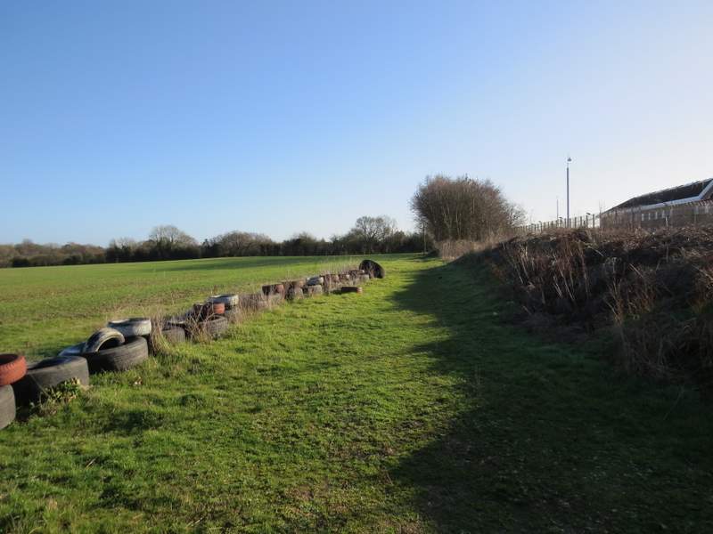
In the field corner I came to a path junction where I turned left, still following an edge of the same field. The path curved left in the next field 'corner', soon with more of the motoring circuit on my left. A little further on I came to a gate, where the path went right along a surfaced drive or track The OS map shows it becomes Bourne End Lane. I passed some buildings on my left with a sign for Driftlimits, a company offering training on controlling skidding, which explained the motoring circuit.
The path after I turned left in the field corner
The path continuing after curving left in the next corner
The path continuing along a drive or track (it becomes Bourne End Lane)
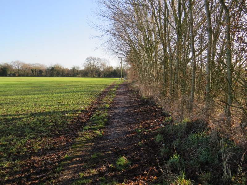
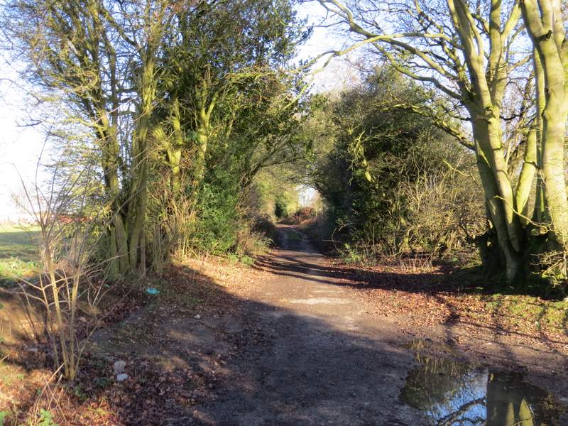
A little further on I turned left down a path starting in a field corner (a new house was being built in this corner). In the next field corner the path continued on - there was a young plantation on my right, which surprised me as this was a field when I did this walk in the opposite direction in August 2011. On my left I had Coleshill Wood, which was used for paintballing when I came here before - I thought I heard a few shots from it this time and there were certainly mocked-up tanks and barriers still in the wood.
The path after I turned left
The path continuing past Coleshill Wood
This is a photo looking the other way from when I was here almost five and a half years ago, in August 2011 - I was surprised that this field is now a plantation of young trees 8-10 feet high
The path continuing past Coleshill Wood
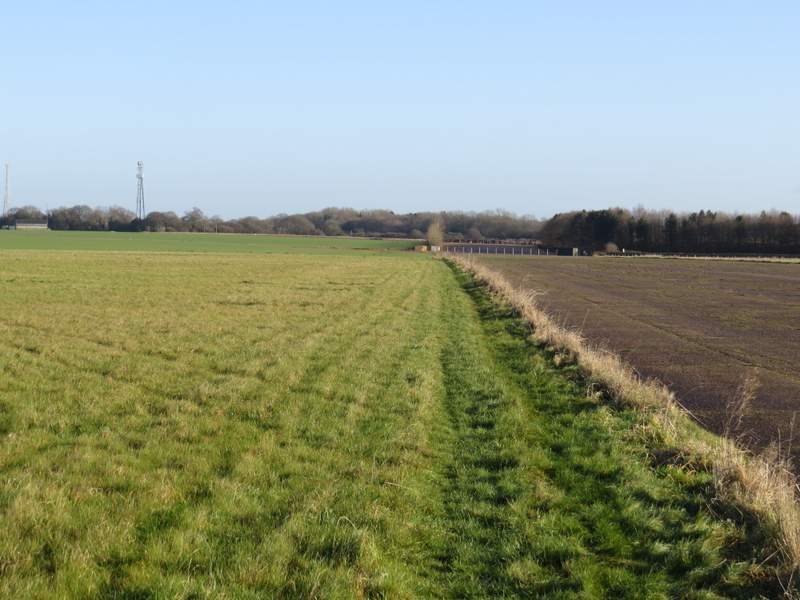
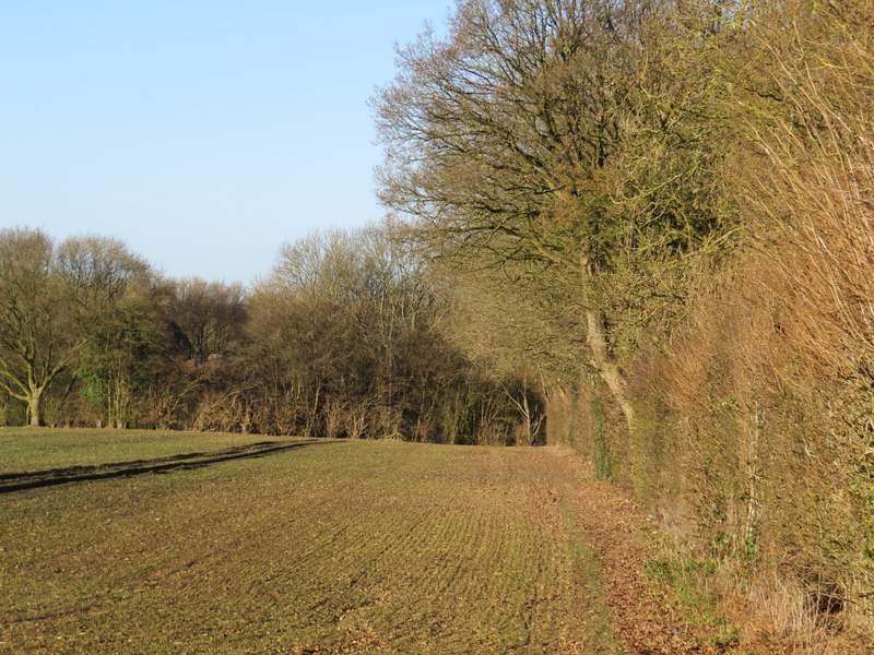
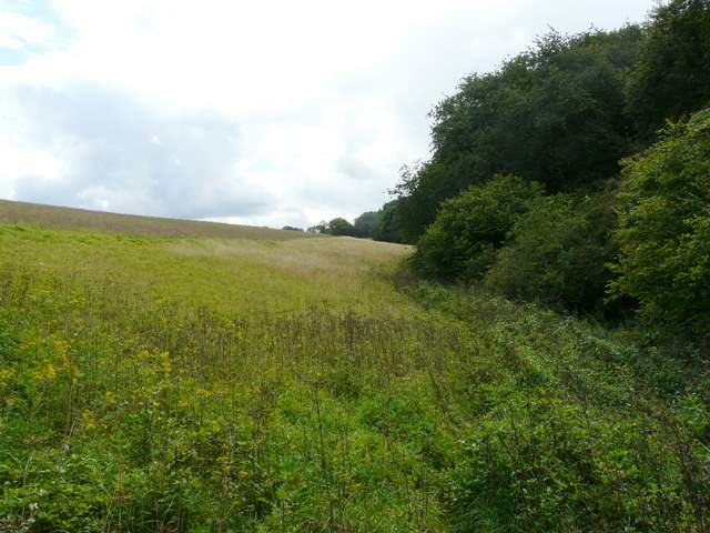
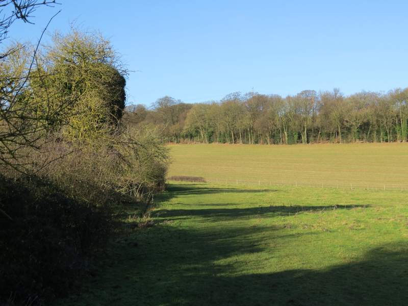
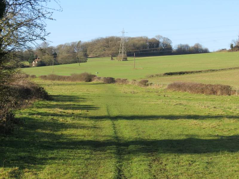
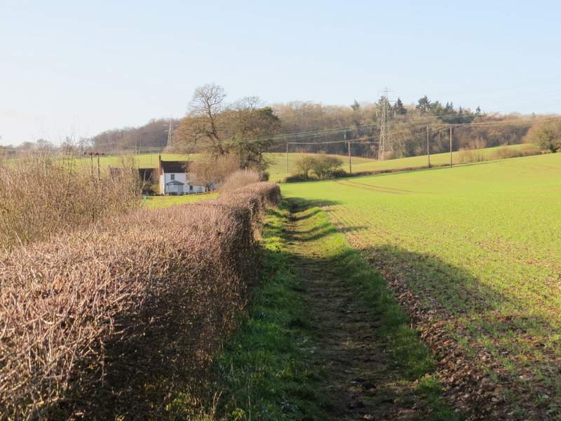
The path then continued beside a neatly trimmed hedge on my left, beside a very large ploughed field. The path here rose slightly then gradually descended over quite a distance into an attractive valley (spoiled by the road noise from the A41 dual carriageway near the top of the opposite hillside). On reaching a farm track in the valley bottom I went left towards Lower Farm, then followed a bridleway a little to the right of the farm - this ran through a long thin pasture pasture, then followed a hedgerow to reach Bottom Farm.
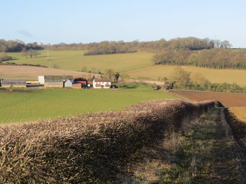
The path continuing from Coleshill Wood, looking towards Lower Farm
The bridleway from Lower Farm to Bottom Farm
The bridleway from Lower Farm to Bottom Farm
The bridleway approaching Bottom Farm