Pete's Walks- West Wycombe, Bledlow Ridge and Lacey Green (page 1 of 6)
If you are considering walking this route yourself, please see my disclaimer. You may also like to see these notes about the maps and GPX files.
Google map of the walkDownload GPX file of the walk
PLEASE NOTE: The very large car park in West Wycombe used to be free. When I came here on 15th January 2022 I found it is now a pay and display car park, only free if you stay less than one hour and costing £4 if you stay more than 2 hours. I think you have to pay by credit card, I don't think the machine takes cash.
I did this circular walk of about 14.8 miles on Saturday, March 11th, 2017. It was a repeat of a walk I did in November 2016, but in the opposite direction (clockwise). Several of the paths were new to me on that walk, so I'd be walking them in this direction for the first time.
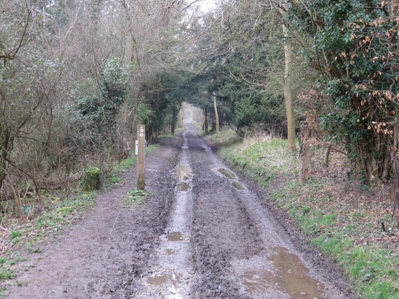
I started walking about 10am, from the car park in West Wycombe (grid reference SU 826947) - it's now named the Hell Fire Caves car park, I think it used to be called the 'village' car park. From the car park entrance I crossed the road and took the path leading up West Wycombe Hill. Ignoring paths going off either side I went straight on, the path curving left after passing some Yew trees and steepening as it went up some 'steps'. At the top of these I turned left to continue uphill to the Dashwood family mausoleum on top of the hill. I then took a path going round to the left of the mausoleum - this turned out to be a different path to the one I'd used when I did the walk in November, as it led into the graveyard around St Lawrence's church rather than go all around the outside of the churchyard.
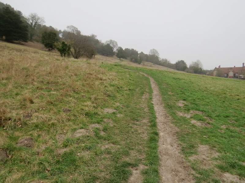
The path from opposite the car park, going up West Wycombe Hill - I went straight on towards the trees in the centre of the photo
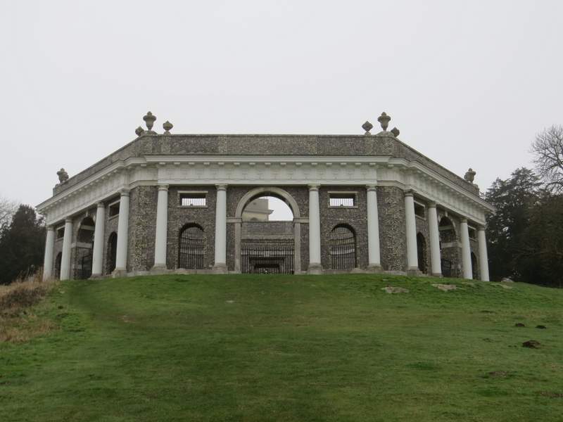
The Dashwood family Mausoleum on top of West Wycombe Hill
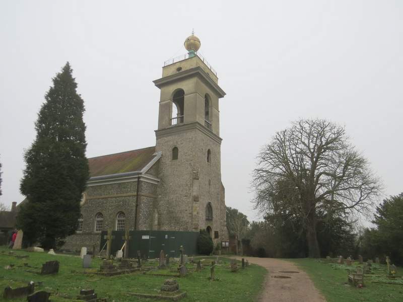
St Lawrence's church, on West Wycombe Hill
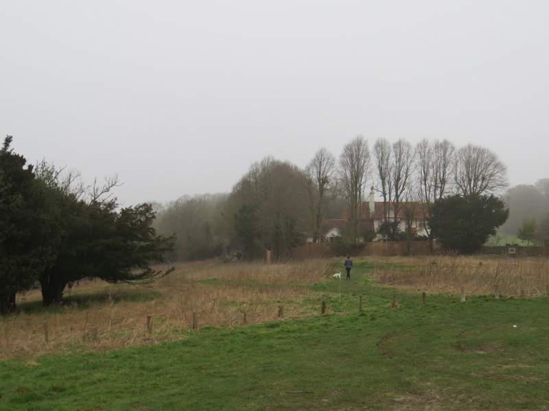
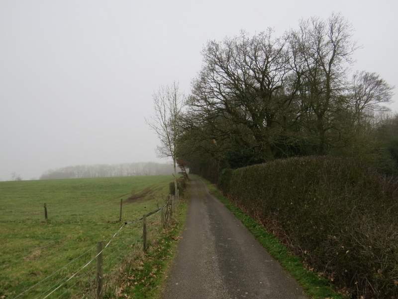
I continued through the car park behind the church, then followed a path through long grass to join a track (just left of a house and garden). I followed the track northwestwards, along a flat ridge extending from West Wycombe hill, and soon entered part of Hearnton Wood. After a while there were a couple of paddocks or pastures close by on my right, but then I was fully surrounded by the wood once more.
The start of the path from the car park on West Wycombe Hill - it continues along a track just left of the house and garden
The path going northwest from West Wycombe Hill
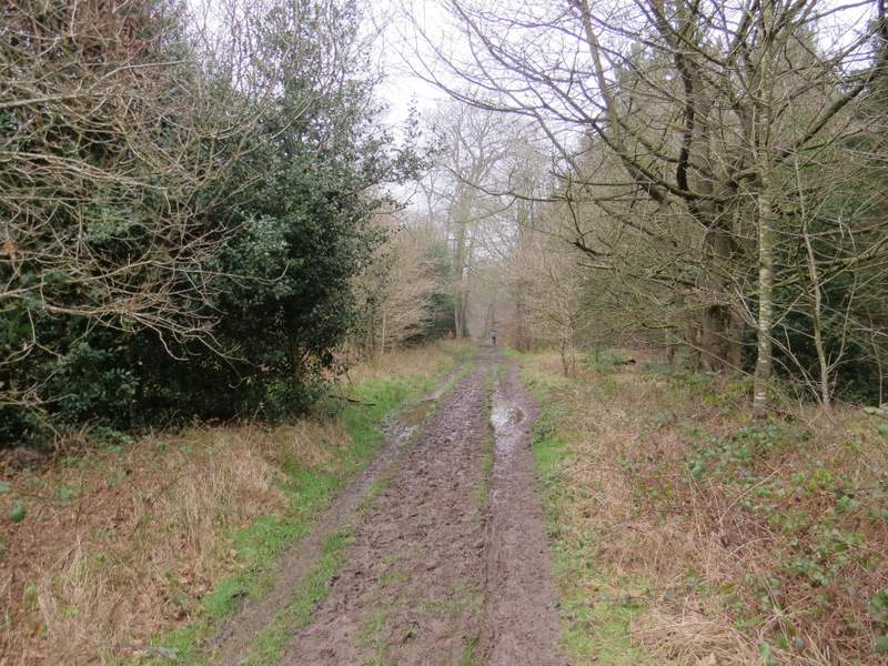
The path going northwest from West Wycombe Hill, now in Hearnton Wood
The path going northwest from West Wycombe Hill
The path going northwest from West Wycombe Hill, just before reaching Nobles Farm
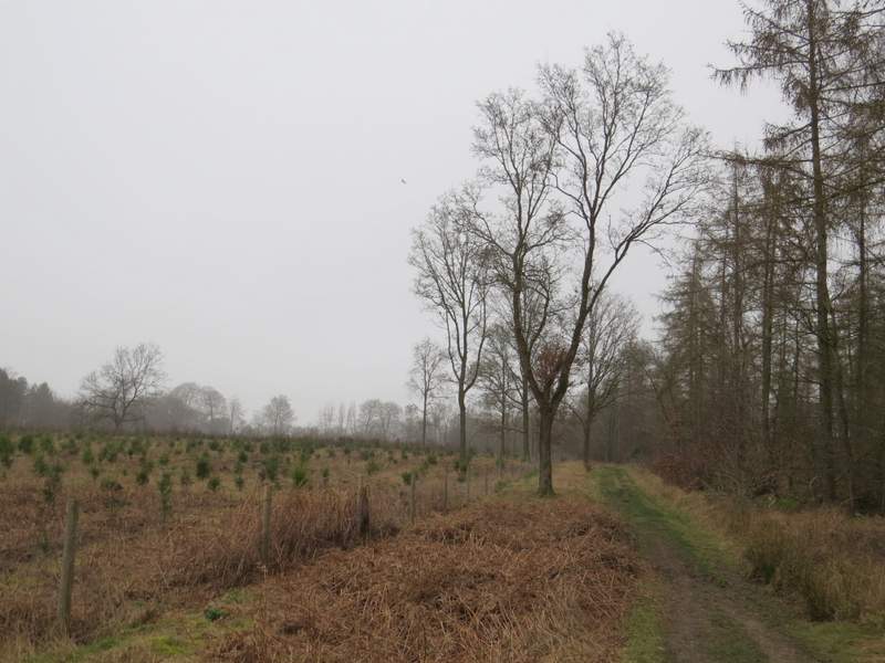
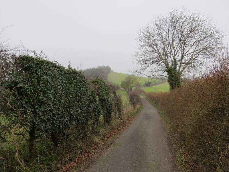
I just kept going straight on until after about a mile (from the car park by the church) I reached Nobles Farm, where I carried straight on along the drive. After a quarter of a mile or so this entered Allnutt's Wood, and a little further on started to go downhill. At the end of the drive, I crossed Slough Lane and continued on a footpath rising up Slough Hill. The path started along the left edge of a field, before entering the bushes and trees to the left of the field and continuing to the top of the hill. Still heading northwest, I followed the path as it gently descended the other side of Slough Hill, following a hedgerow on my left through two or three overgrown fields.
The path continuing along the drive from Nobles Farm
Approaching the end of the drive from Nobles Farm
The path up Slough Hill
The path continuing down the other side of Slough Hill
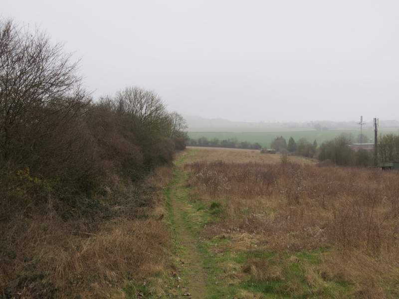
The path continuing down the other side of Slough Hill
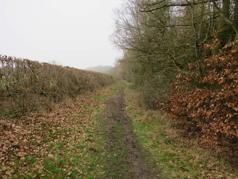
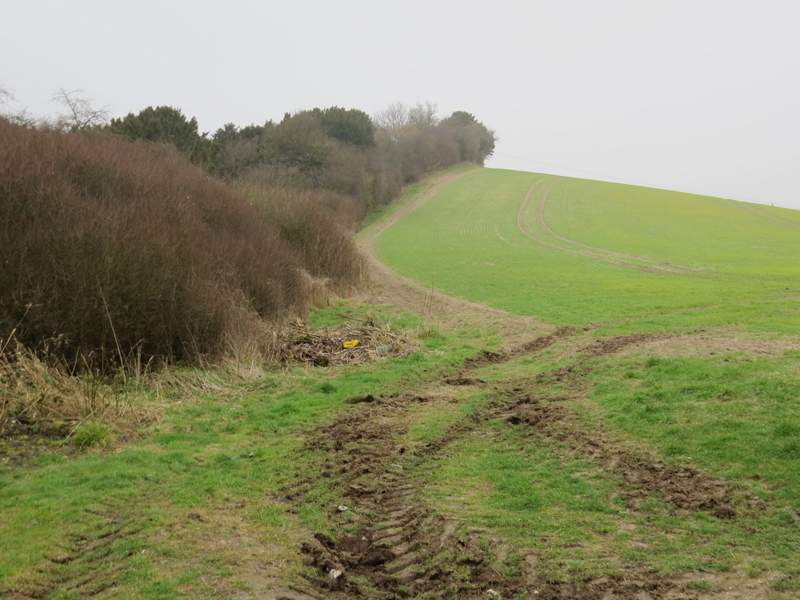
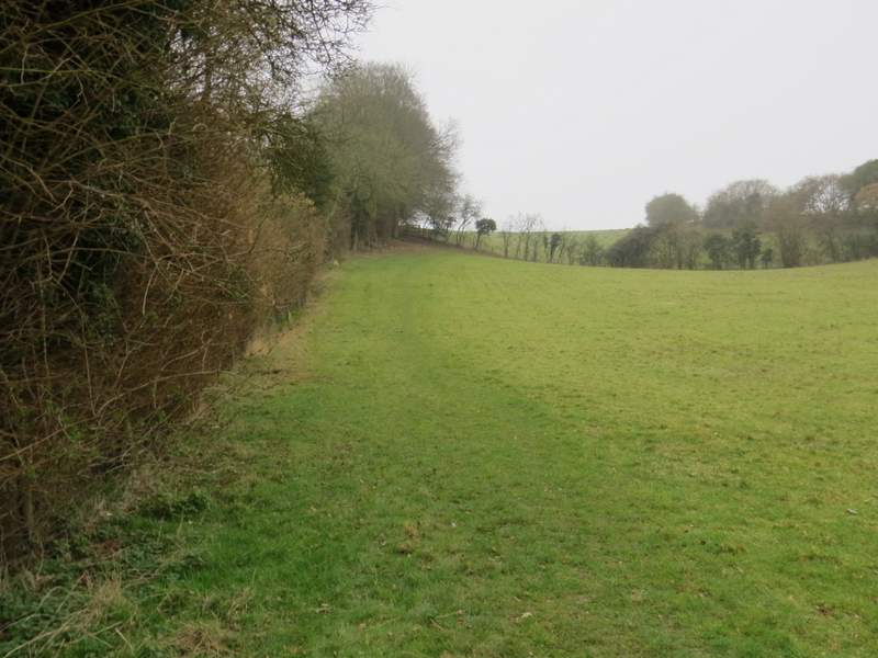
On reaching a road, I turned left and followed it downhill a short distance before turning right along a surfaced track or drive. After one or two hundred yards I then turned left, immediately before a hedge surrounding a bungalow, and followed a path across a large arable field where I spotted a flock of Fieldfares over to my left. The path then followed a hedge on my left through an empty pasture, climbing quite steeply uphill. It continued beside the hedge for a while in the next pasture, before going half-right to the far right corner of the field. Now level, it continued between fences for a short distance to reach the road through Bledlow Ridge (the name of the hill as well as the village here).
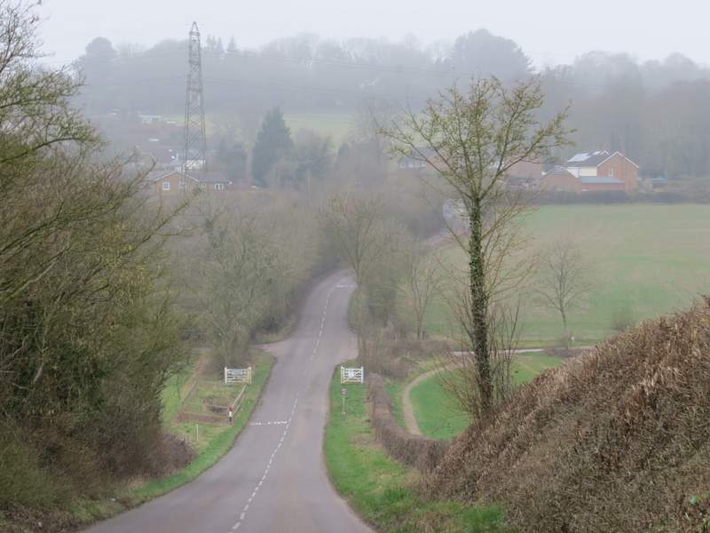
The short section along the road - I turned right along the track or drive you can see just past the white gates
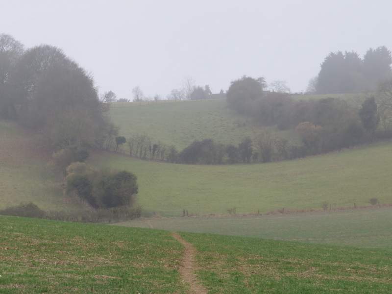
The path up to Bledlow Ridge
The path up to Bledlow Ridge