Pete's Walks- West Wycombe, Bledlow Ridge and Lacey Green (page 3 of 6)
If you are considering walking this route yourself, please see my disclaimer. You may also like to see these notes about the maps and GPX files.
I continued along the Ridgeway as it dropped down the eastern side of Lodge Hill, and then followed hedges on my right to reach a minor road in the Saunderton valley. Across the road, the Ridgeway continued down a drive and then a track, before running through part of a golf course. After carefully crossing a railway track, I continued along the Ridgeway as it ran through an empty pasture, then passed over the entrance to a railway tunnel. Just after this, I went through a gate and turned right, leaving the Ridgeway (which continued ahead across a large field) and followed a footpath alongside a hedge on my right. After a few hundred yards the footpath turned left to cross a small corner of a large field. On reaching another hedgerow, I turned right again onto a bridleway, This continued alongside the hedgerow on my right (somewhere along here I spotted my first Lesser Celandine in the Chilterns this year - Spring has sprung!) for about half a mile until it brought me to the A4010 road (from Princes Risborough to West Wycombe).
The path descending from Lodge Hill
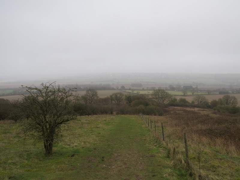
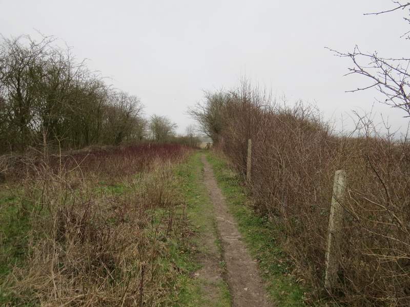
The Ridgeway, between Lodge Hill and the next road
The Ridgeway. approaching the section through the golf course
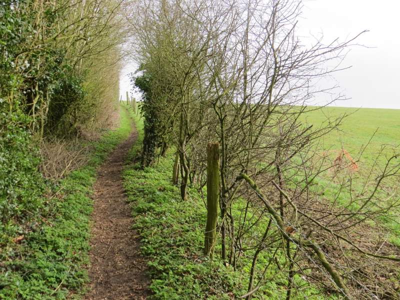
The Ridgeway in the pasture between the two railway tracks
The Ridgeway where it crosses the tunnel over the second railway track
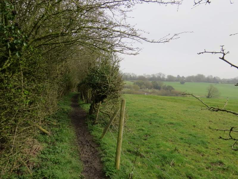
The footpath in the Saunderton Valley after I turned right from the Ridgeway
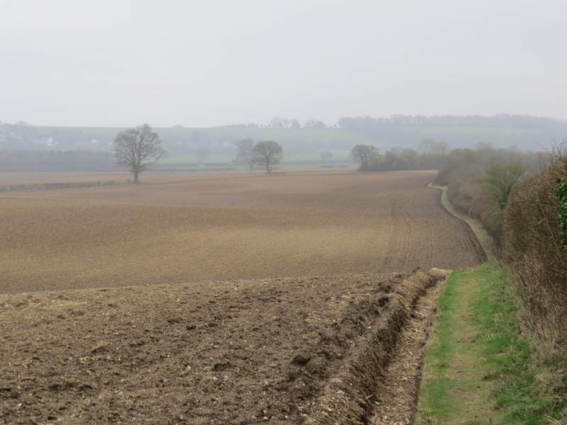
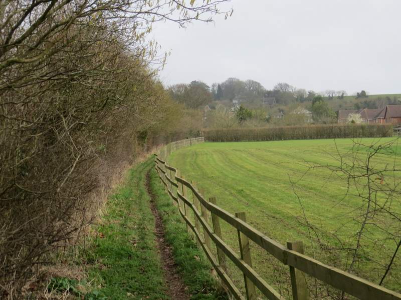
The bridleway in the Saunderton Valley after I turned right from the footpath
I went a little way right along the road and took a path starting at a gate on the other side. When I did this walk the other way round in November this path was just marked by a few stakes, but now there was a clear line through the arable crop growing in this huge field. On eventually reaching the far side of the field, the path continued between a hedge and a wooden fence on my right (more Lesser Celandine here) and finally brought me to a street in Loosley Row. I turned right, and went a short distance steeply uphill before taking a path on the left that ran between tall garden hedges. I soon reached another street, where I went a few yards left and took a path on the other side.
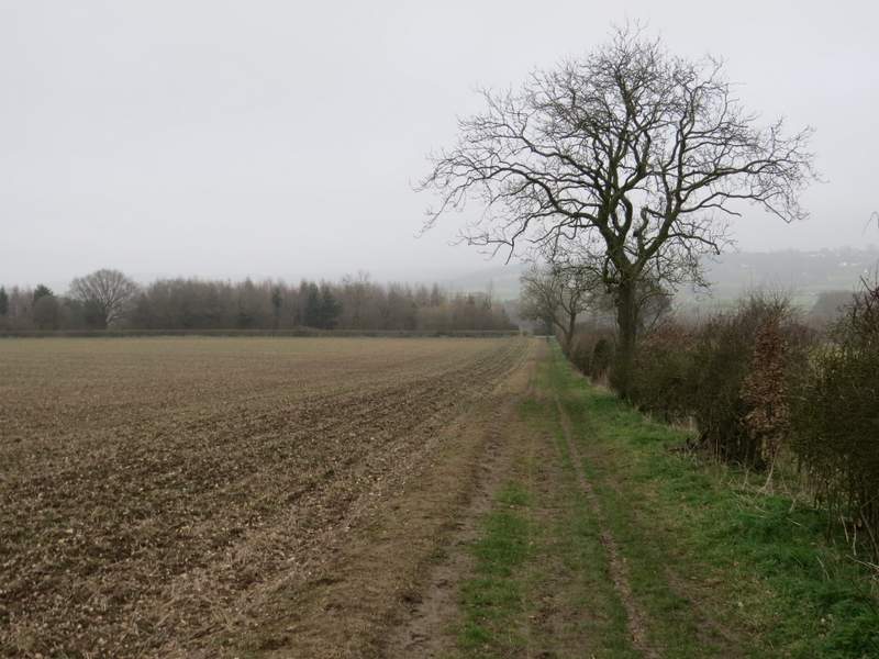
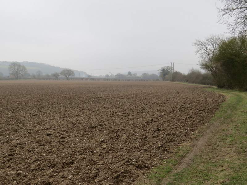
The path across the very large arable field, heading to Loosley Row
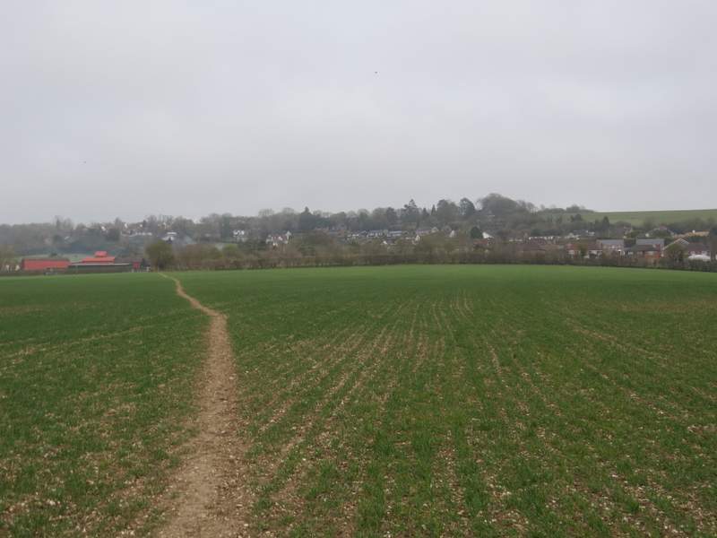
Approaching Loosley Row
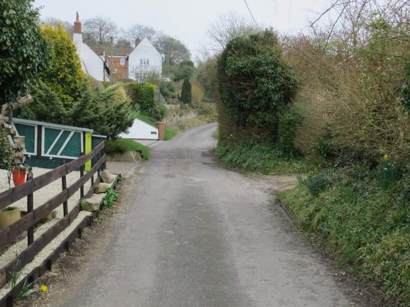
The first street in Loosley Row
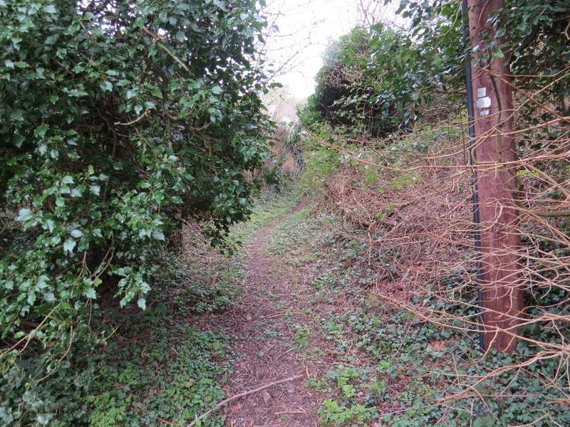
The start of the short path between streets in Loosley Row
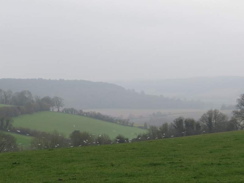
The path started between garden fences, but was soon continuing uphill between hedges and fences, with a large arable field to my right, over which there were occasional misty views (it was now almost 1.30pm, and it was still a bit misty). After a while the path dropped downhill slightly and crossed a drive or track (going to the wonderfully named Promised Land Farm, away to my right). The path then continued slightly uphill for a hundred yards or so to reach the end of a street in a part of Lacey Green.
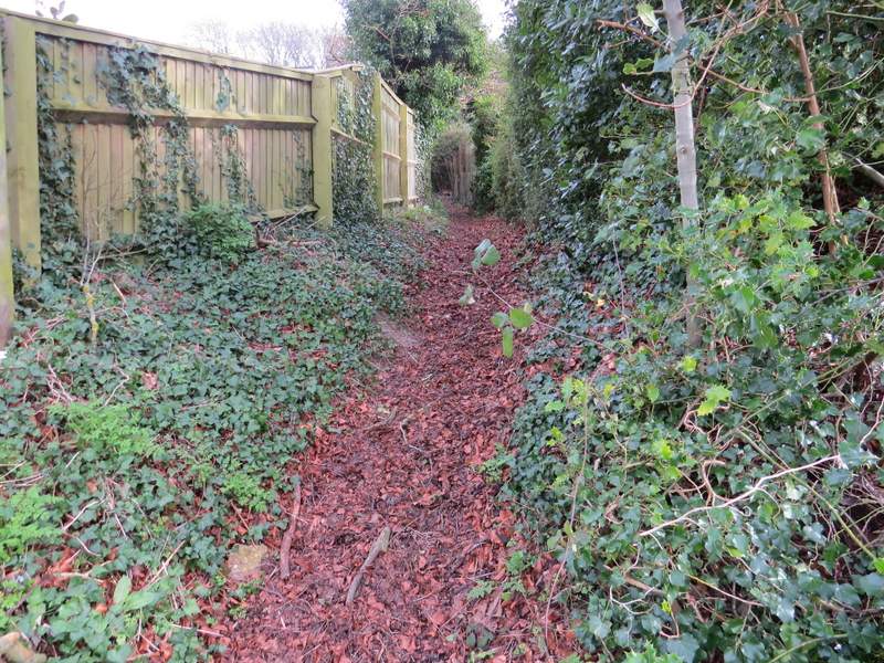
The start of the path from Loosley Row
The path from Loosley Row
The path from Loosley Row
View right from the path from Loosley Row - it was now about 1.30pm and it was still grey and misty
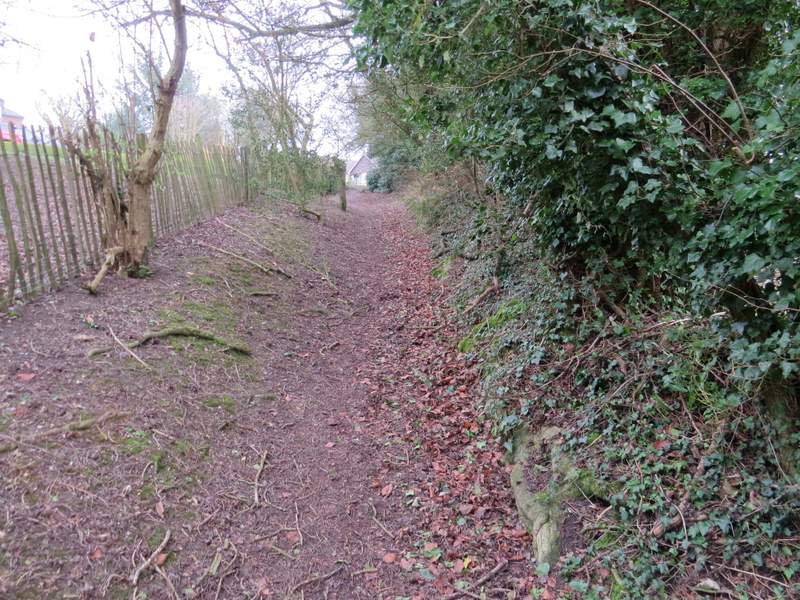
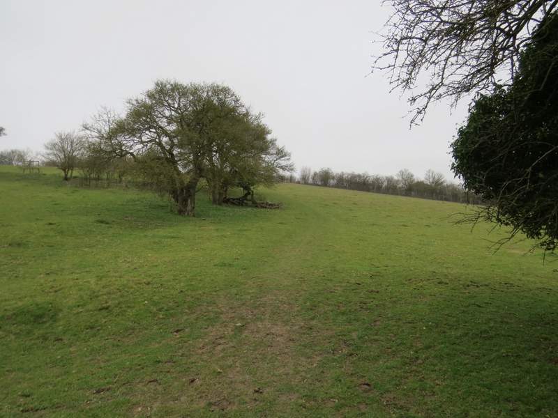
The path as it reaches part of Lacey Green