Pete's Walks- Little Missenden, Hodgemoor Woods, Misbourne Valley (page 3 of 6)
If you are considering walking this route yourself, please see my disclaimer. You may also like to see these notes about the maps and GPX files.
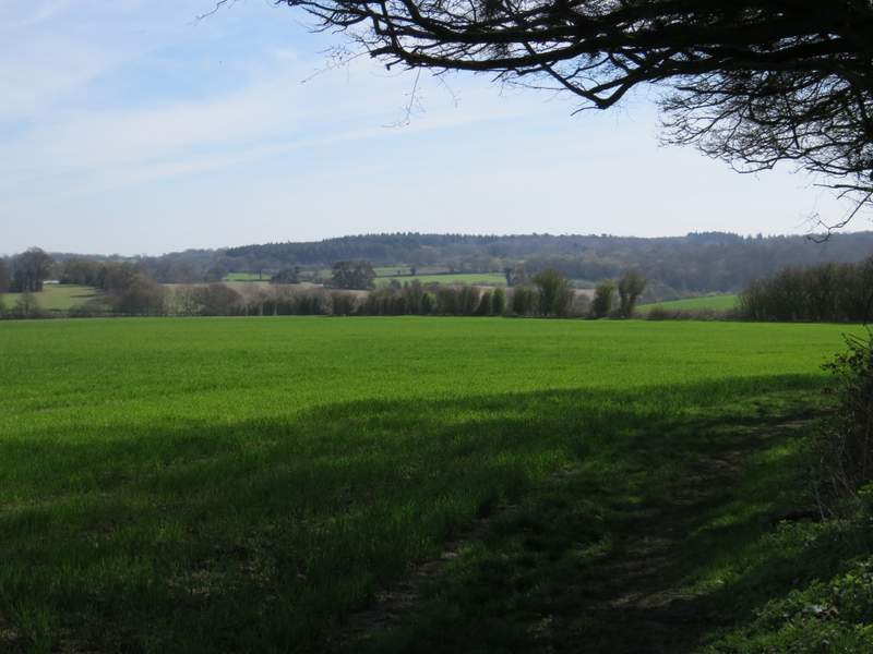
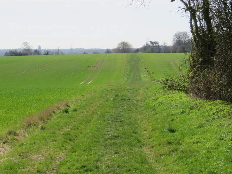
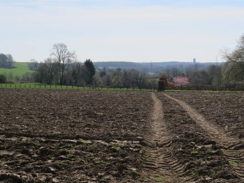
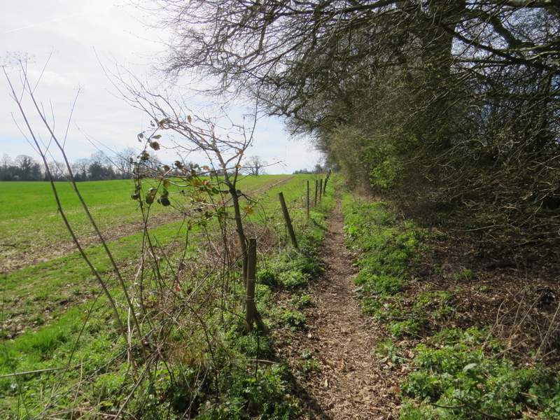
I crossed this second street and continued straight on along another path, starting through a pub car park and passing left of the pub. It continued for a while between old hedgerows until it emerged in a field, where it carried on beside the hedge on my right. It turned right and shortly after turned left in a corner. I'd been following the route of the Chiltern Way since leaving Penn Street but now left it (and also left the route I followed last May) when I turned right onto a crossing path, which followed a broad grassy headland between two arable fields. On the far side of these fields I went straight on (previously I have always used a path going right here) across a ploughed field - a tractor was now 'harrowing' it, but the path was clearly marked by tractor tracks. The path then continued beside a tall hedge on the right (the garden fence of the very attractive Bowers Farm), through a pasture or paddock where four Alpacas stared at me curiously.
The path from Coleshill
The path from Coleshill (it turns to the right and then turns left to continue this side of the hedgerow going across the photo)
The path after I turned right, heading towards Bowers Farm
The path approaching Bowers Farm (just out of shot on the right)
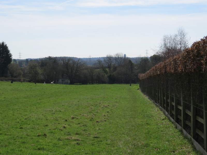
The path continuing past Bowers Farm
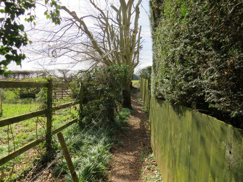
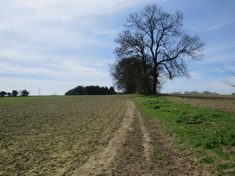
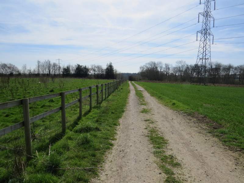
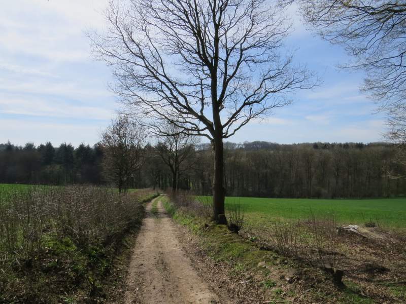
Across a minor road a path continued a short way between garden fences to reach a field, where it went a few yards right to a corner where it turned left along another side of the field. On reaching the far side of the field I turned right onto a bridleway running along a track. I immediately passed Ongar Hill Farm, then the bridleway went through a gap in the wooden railings on the left and across a small area of rough grass. On the far side of this I turned left onto another bridleway following a farm track southwards (I was now back on familiar territory). This soon turned slightly right behind a hedgerow, then dropped downhill into a valley. After passing through a narrow bit of wood in the valley bottom, where I crossed another bridleway, the bridleway continued gently up the other side of the valley, running between a fence and a hedge.
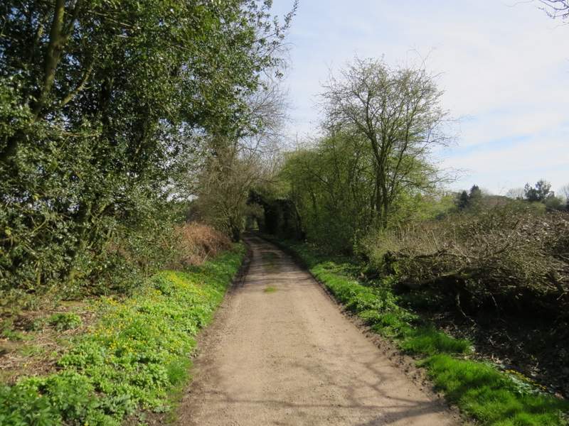
The start of the path on the other side of the road near Bowers Farm
The path continuing towards Ongar Hill Farm
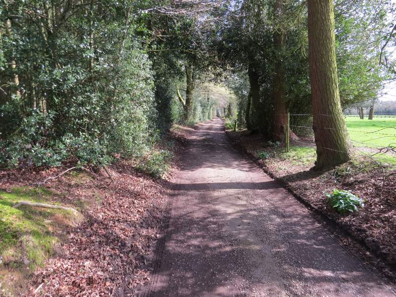
The bridleway past Ongar Hill Farm
The bridleway going south from Ongar Hill Farm
The bridleway going south from Ongar Hill Farm
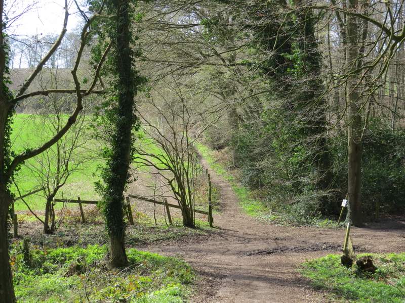
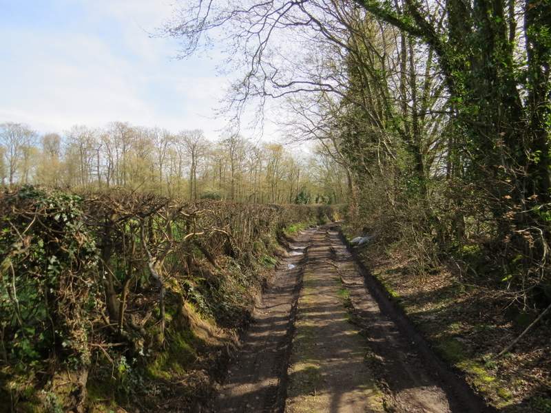
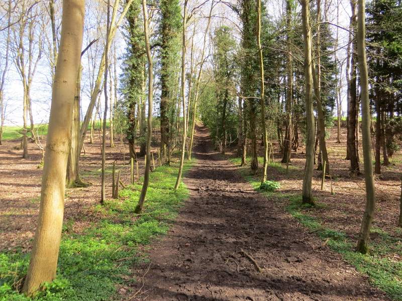
The bridleway going south from Ongar Hill Farm, where it crosses another bridleway in some woods
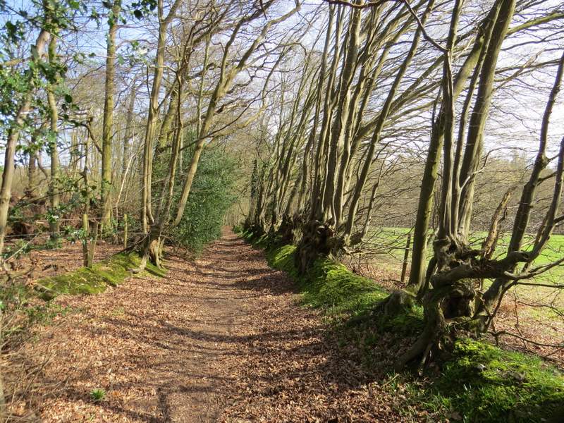
The bridleway continuing towards Wood Cottage
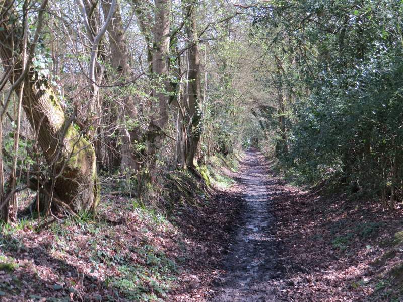
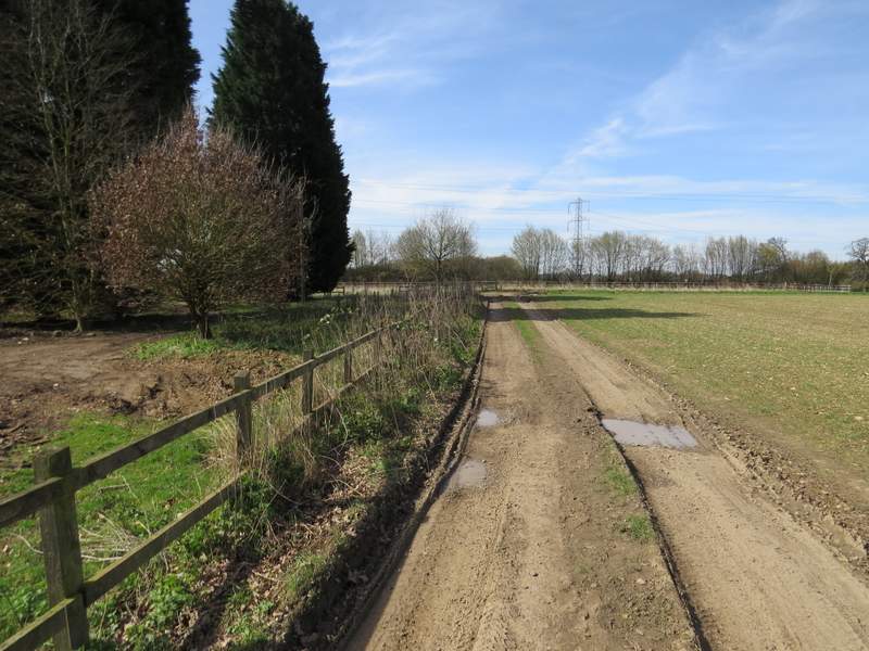
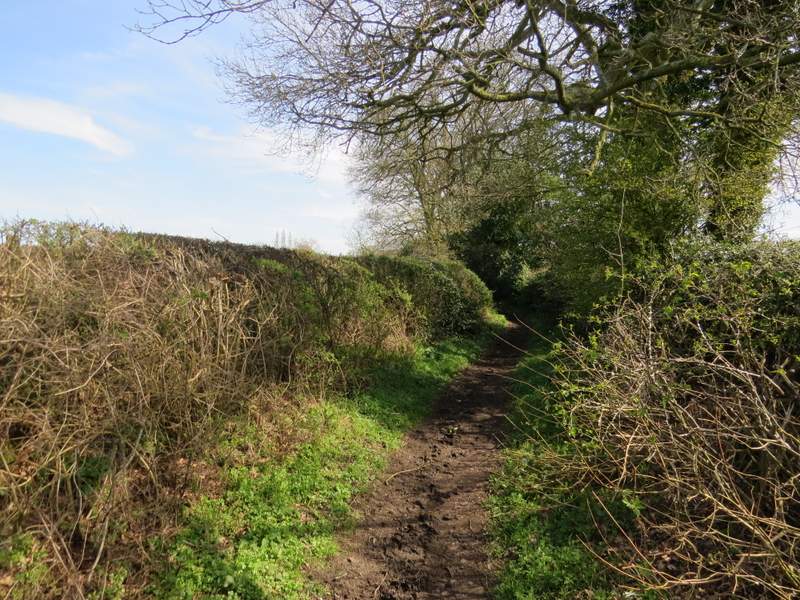
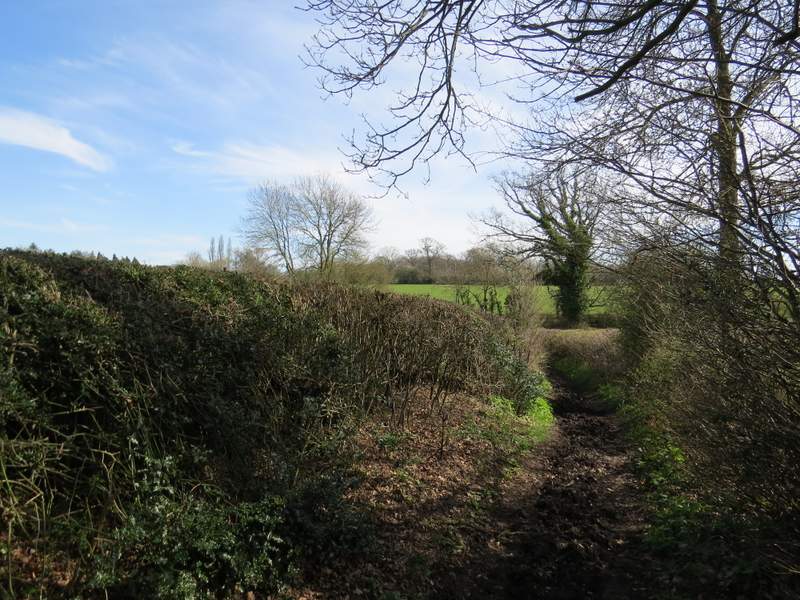
At the top of the slope I reached a drive, coming from Wood Cottage a few yards to my right. I turned left, and followed the drive for almost half a mile, until it brought me to a main road (going south from Amersham to Beaconsfield). On the other side I carried on down a bridleway along a track. This was soon passing through Bottom Wood. There was a short but steep and muddy section to get out of the wood, then the bridleway continued between hedges for a quarter of a mile or so to reach Bottom Lane, near the village of Seer Green.
The drive after I turned left at Wood Cottage
The drive after I turned left at Wood Cottage
The bridleway on the other side of the main road (Amersham Road)
The bridleway continuing towards Bottom Wood
The bridleway continuing through Bottom Wood
The bridleway continuing from Bottom Wood to Bottom Lane
The bridleway continuing from Bottom Wood to Bottom Lane