Pete's Walks- Cowleaze Wood and Radnage (page 1 of 6)
If you are considering walking this route yourself, please see my disclaimer. You may also like to see these notes about the maps and GPX files.
Google map of the walkDownload GPX file of the walk
NOTE (6/11/2025): Parking at Cowleaze Wood is no longer free, there is now a cashless payment system. To see details, click here and then click on the 'Parking and prices' tab.
I did this circular walk of about 12.5 miles on Sunday, April 2nd, 2017. It was a repeat of a walk I first did in December 2009 and then repeated in October 2011. On those two previous occasions I walked the route clockwise, this time I did it anti-clockwise - for a few of the paths this was the first time I'd walked them in the direction I went today.
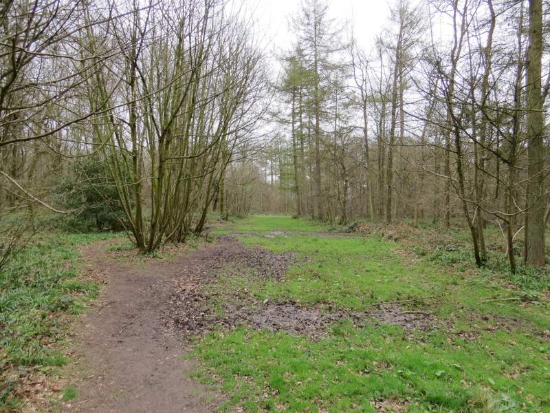
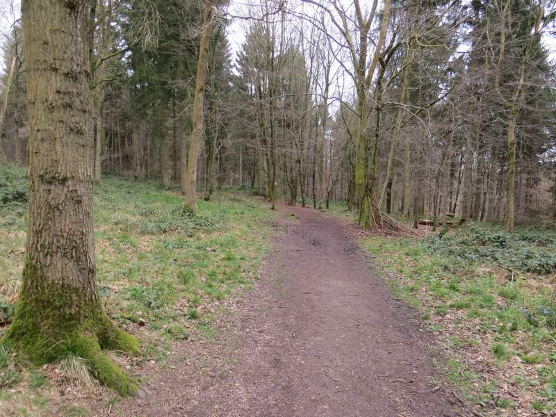
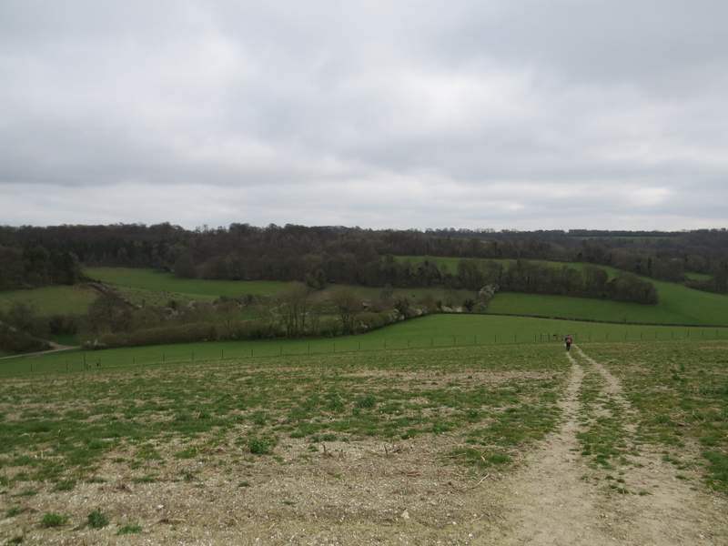
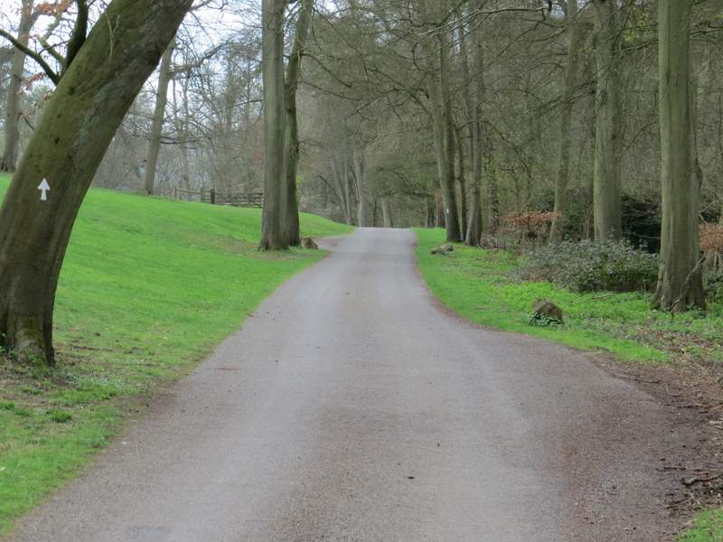
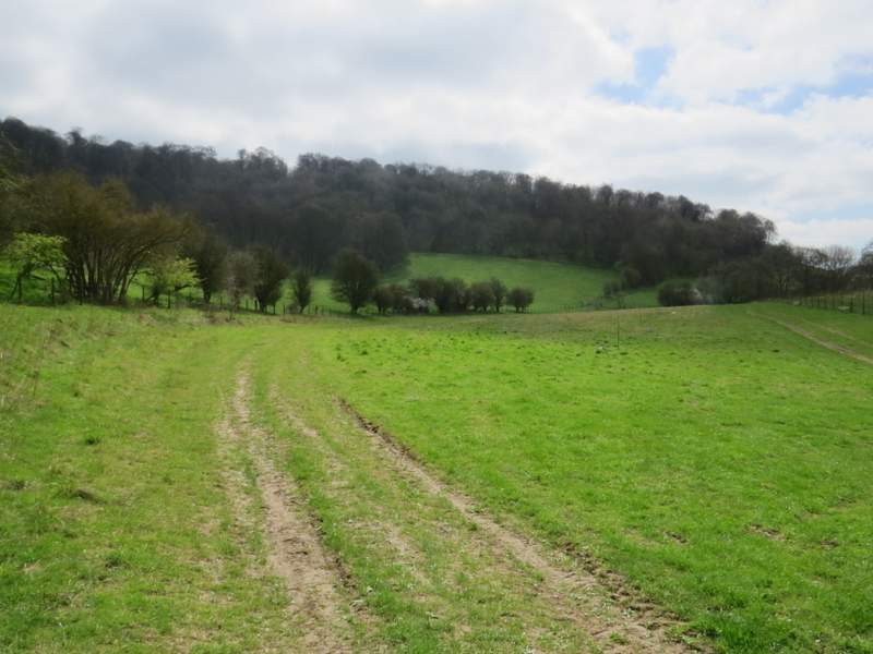
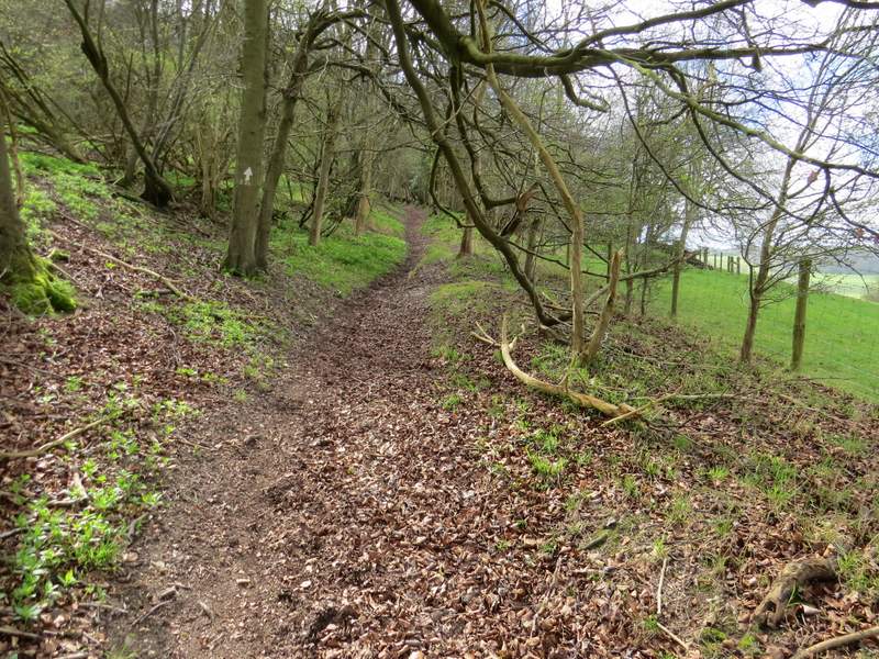
I parked in the Cowleaze Wood car park (grid reference SU 726956), a couple of miles or so west of Stokenchurch. Starting walking about 11.10am, I took a path that left the car park from opposite its entrance and followed the path eastwards through the wood. On my walk last weekend Lesser Celandine was pretty much the only wildflower I saw, but today I was hoping that I might see my first Wood Anemones of 2017. By the time I'd walked the half-mile to the other side of Cowleaze Wood, I'd not only seen several Anemones but also, to my surprise, my first Bluebells of the year, including a couple that were fully in flower. Beyond the wood the path dropped downhill through two large fields, with fine views over and along the northern end of the Wormsley Valley. On reaching one of the drives through the Wormsley Estate I turned left for a short distance, then took a path on the right that went past Lower Vicar's Farm on my left. The path then went uphill and slightly left across a meadow or paddock, then continued uphill through Langleygreen Plantation (I got talking to another walker on this stretch and forgot to take any photos, sorry).
Start of the path from the car park at Cowleaze Wood
Cowleaze Wood
Cowleaze Wood
View over the end of the Wormsley valley, from the edge of Cowleaze Wood
The path descending from Cowleaze Wood into the Wormsley Valley
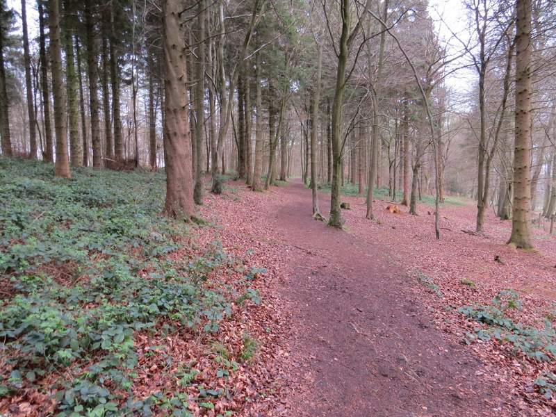
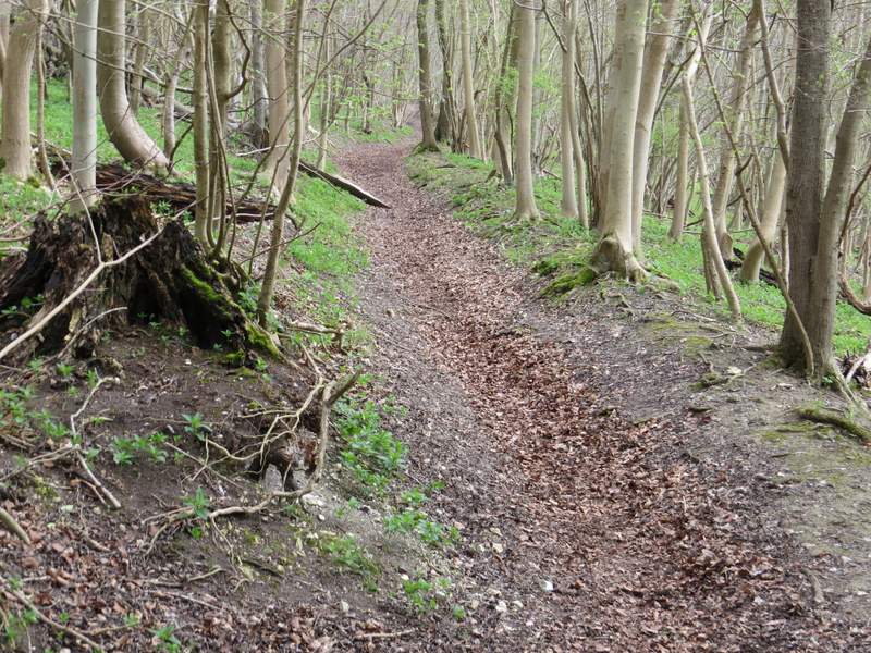
Near the top of the slope I turned right (south) onto a crossing bridleway. This very gradually descended through Langleygreen Plantation over the course of about half a mile. I'd also seen a few Primroses in Cowleaze Wood but there were a lot more of them here (I'd go onto see more of them today than on any other walk I've ever done!), as well as a few more Wood Anemones and my first Wood Spurge of the year. On finally reaching another of the Wormsley Estate drives I turned right and followed it for a few hundred yards until it turned right. I went straight on along a bridleway, at first between a short hedge on my left and a tall one on my right, then along a fence line on my left.
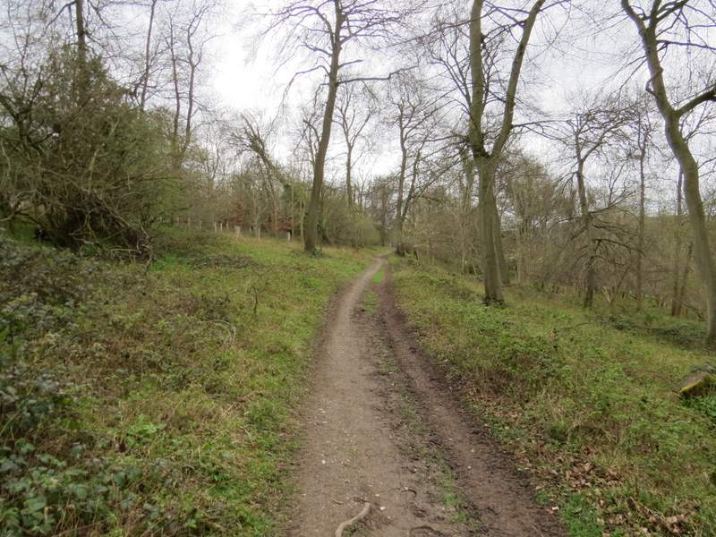
The bridleway through Langleygreen Plantation
The bridleway through Langleygreen Plantation
The bridleway through Langleygreen Plantation
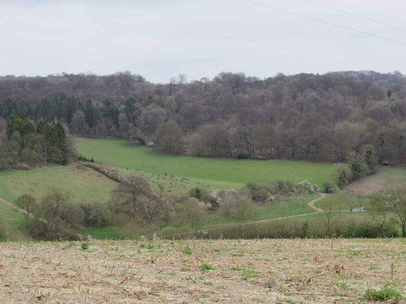
The drive in the Wormsley Valley
The bridleway in the Wormsley Valley
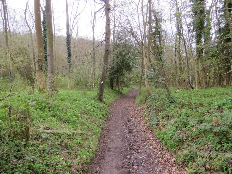
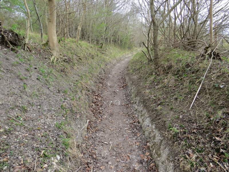
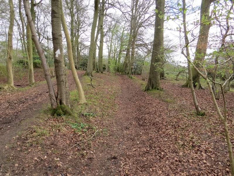
On reaching a bridleway fork I kept left, and began a very long but not too steep climb uphill through Commonhill Wood (looking on the OS map the bridleway climbs about 265 feet in almost half a mile, an average gradient of 1 in 10). The bridleway had worn a narrow chalky groove in its steeper part. On eventually reaching a gate (new since I was last here, I think, and where I saw my first Herb Robert of 2017), I turned right and then went half-left across Ibstone Common, passing the prominent Millennium Stone. On reaching a corner of the village cricket pitch, I turned left - as I followed the edge of the pitch towards the road through Ibstone, I was amazed and delighted to see my first Cuckoo-flower of the year, just a few feet to my left (it's also known as Lady's Smock or May-flower, but personally I prefer Cuckoo-flower because at least twice I've seen it for the first time on the same day that I've heard my first Cuckoo).
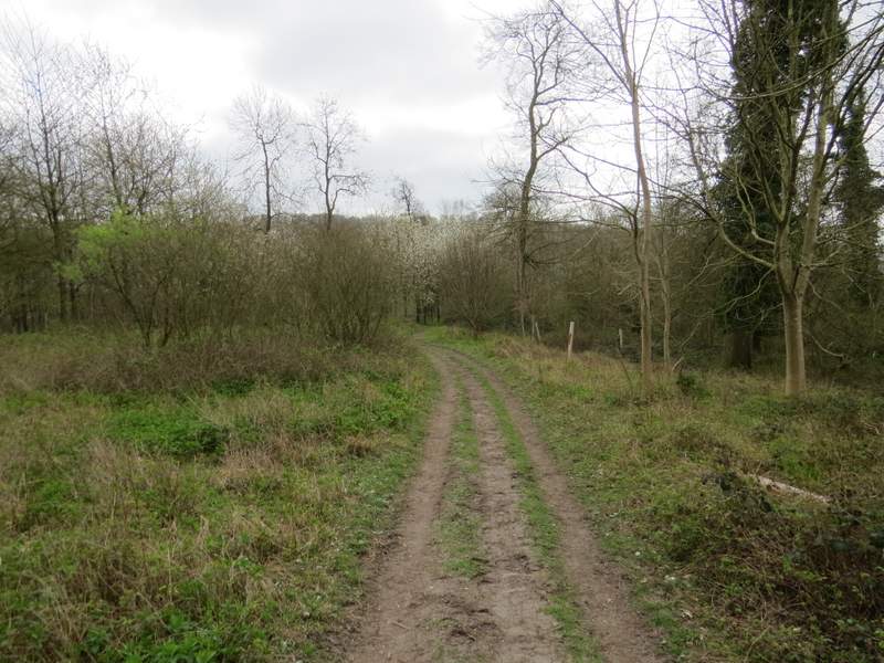
The bridleway from the Wormsley Valley to Ibstone
The bridleway from the Wormsley Valley to Ibstone
The bridleway from the Wormsley Valley to Ibstone
The bridleway from the Wormsley Valley to Ibstone
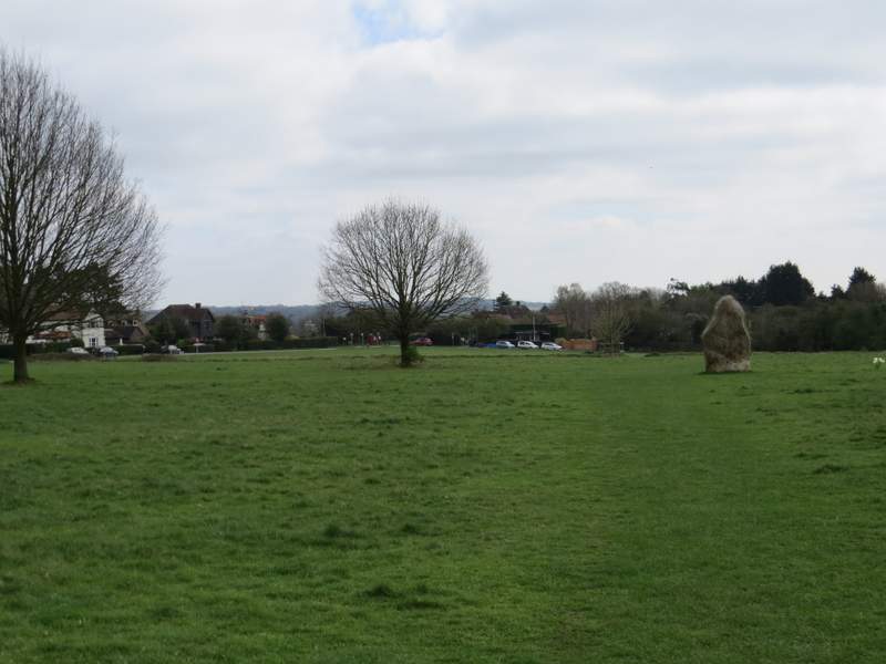
Ibstone Common (the big stone was erected to celebrate the millennium - the village takes its name from an ancient boundary stone, and for many years was divided in two by the Bucks/Oxon county boundary)
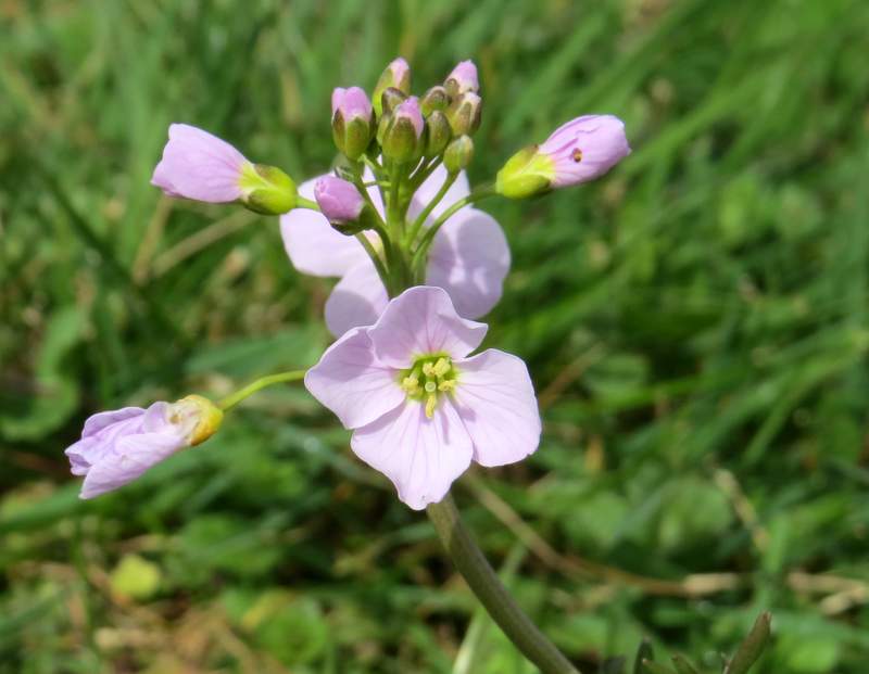
Cuckoo-flower (or Lady's Smock or May-flower) on Ibstone Common