Pete's Walks- Maidensgrove Common, Ibstone, Middle Assendon (page 1 of 7)
If you are considering walking this route yourself, please see my disclaimer. You may also like to see these notes about the maps and GPX files.
I did this circular walk of about 15 miles on Saturday, April 8th, 2017. It was a repeat of a walk I did three times last year, which I think is the finest route of this distance that I've walked in the Chiltern Hills. I wanted to do it again on a fine Spring day, and this was the perfect opportunity.
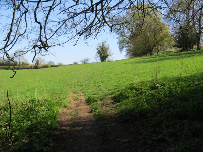
I parked along the lane that crosses Maidensgrove Common (grid reference SU 717886) - it's all named Russell's Water Common on the OS map, but I believe this south-eastern end is named Maidensgrove Common. I started walking about 10.20am, following the lane eastwards into Maidensgrove and turning left along a private road or drive when a lane came in on the right. At the end of the private road or drive a path continued into Pishillbury Wood, and after just a few yards it came to a junction with a bridleway where I turned left. I stayed on the bridleway when a footpath went right after a short distance (the OS map shows a path crossroads here rather than two separate junctions). It was a pleasant start to the walk as I followed the bridleway through a typical Chiltern beech wood (the bridleway is pretty much on the boundary between Doyley Wood, to my left, and Pishillbury Wood, according to the OS map). The path was soon dropping quite steeply downhill.
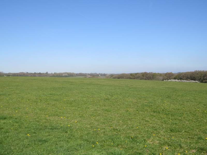
Maidensgrove Common
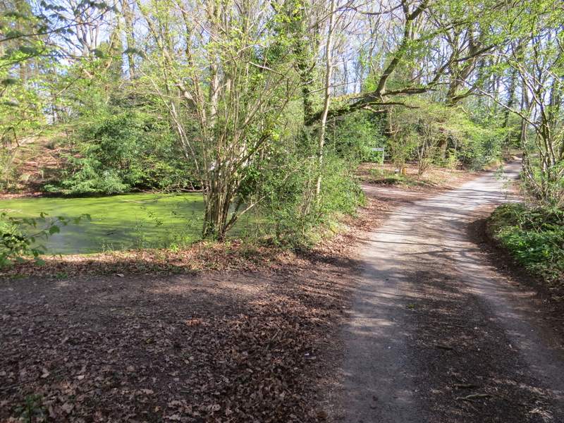
The start of the private road in Maidensgrove
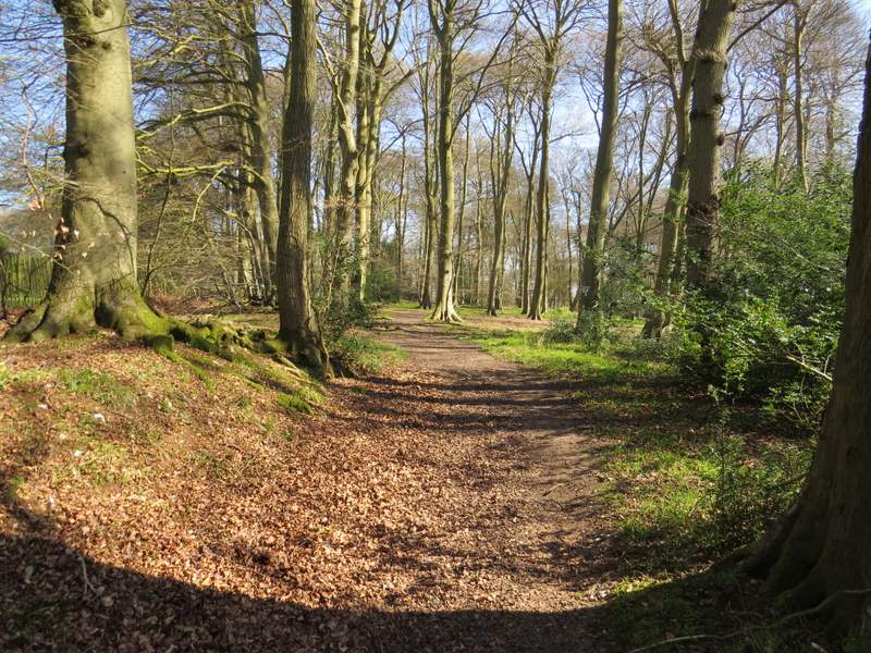
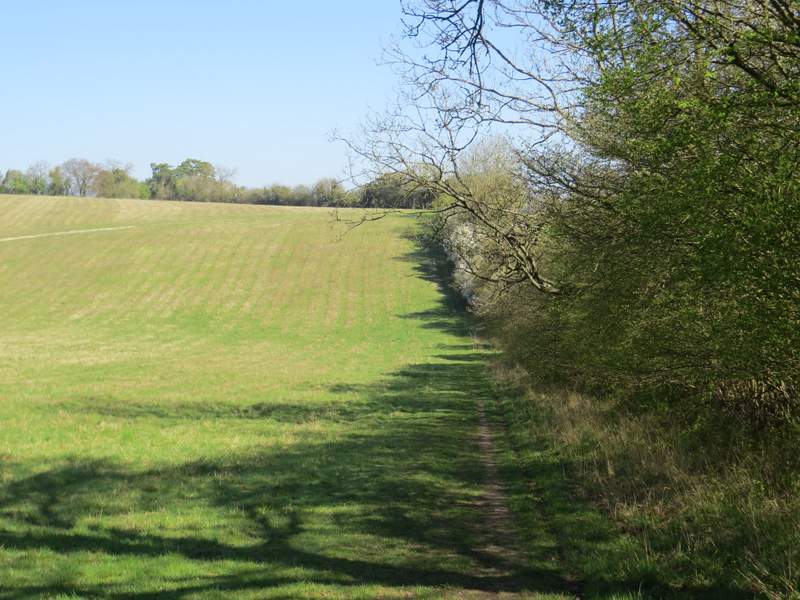
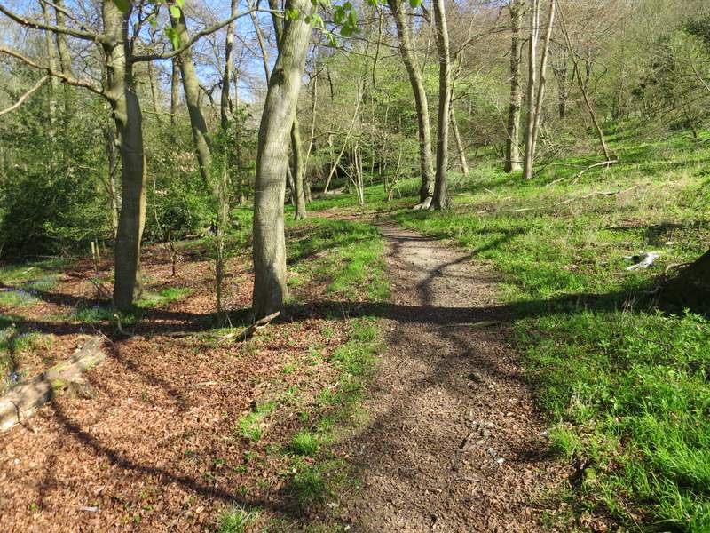
Bridleway through Pishillbury Wood
Bridleway through Pishillbury Wood
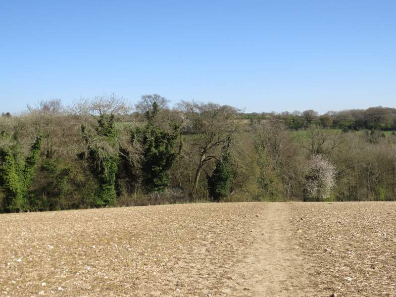
On leaving the woods, the path continued alongside a tall hedgerow on my right, descending a little further then rising up the other side of a small valley. It then joined a drive and then a lane, which soon passed Pishill church on my left. At the end of the lane I turned right along a minor road (I saw my first Orange-tip butterfly of 2017 along here), then turned left where the road went right. A footpath now led along the bottom of a valley for several hundred yards, until it reached College Wood. On entering the wood, the path soon went half-right and steadily climbed that side of the valley. At the top of the slope it ran along just inside the edge of the wood.
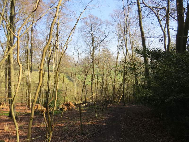
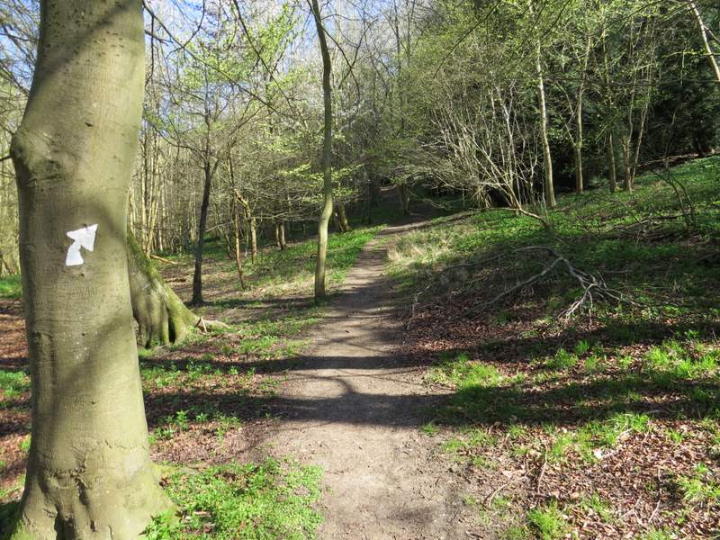
The bridleway continuing towards Pishill
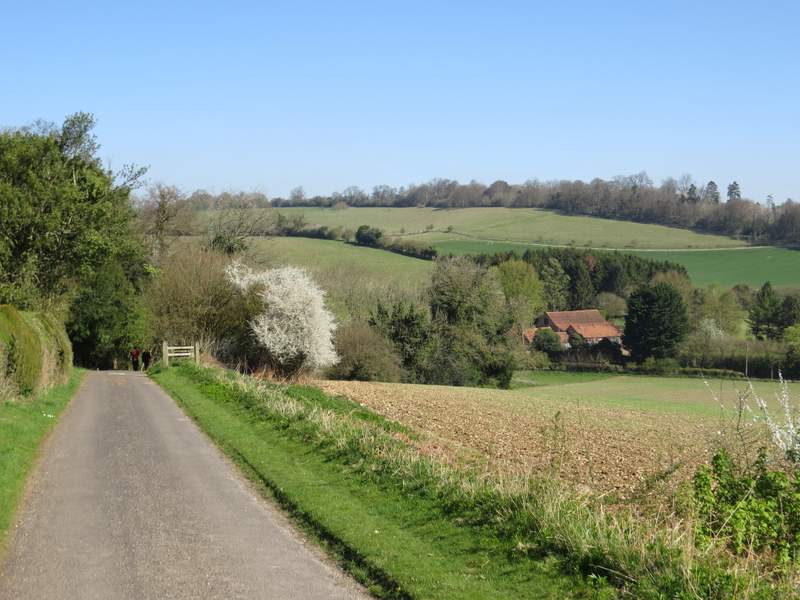
View from the lane past Pishill church
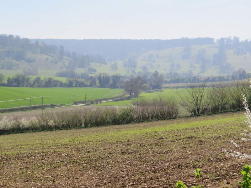
Hazy view from near Pishill church towards Stonor Deer Park, where I'd be later on
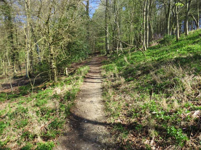
The path from Pishill to College Wood
The path continuing through College Wood
The path continuing through College Wood
The path continuing through College Wood
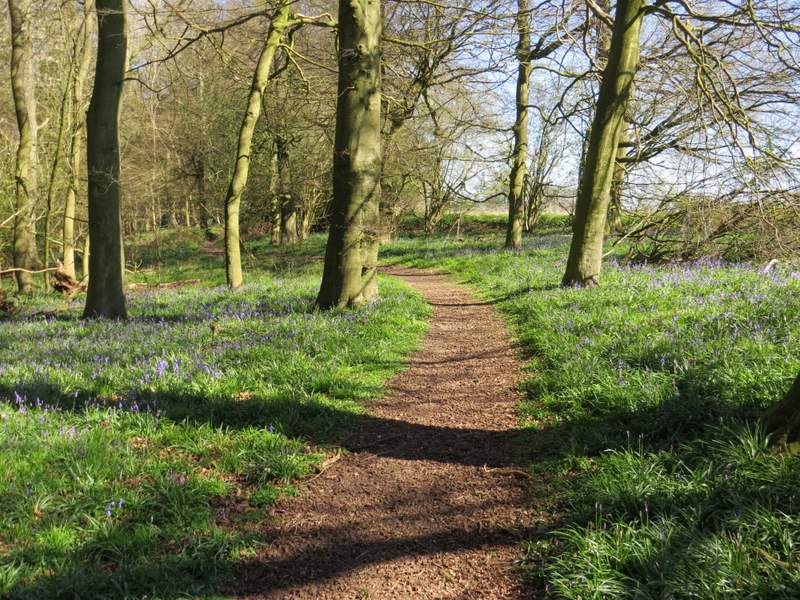
The path continuing through College Wood (this was the best display of Bluebells I saw on this walk)
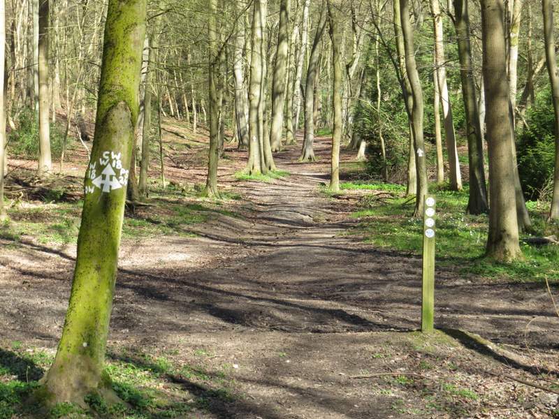
I went straight on where this path merged with another path, within site of a stile on the edge of the wood. Over this stile, I continued across a meadow, aiming for the far right corner. Here the path crossed Hollandridge Lane (a track) and continued close to a hedge on the right, before going half-left across a field and dropping downhill to Fire Wood. I soon came to a crossroads of rights of way in the wood, where I went straight on, now on a bridleway. There were several Wood Anemones here, and I also spotted a couple of Wood Sorrel (the only ones I'd see today).
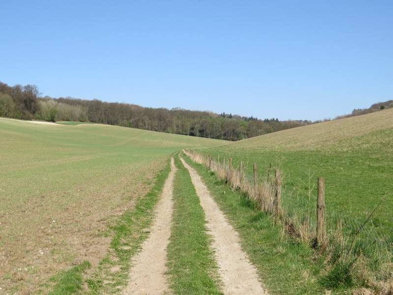
The path from College Wood to Hollandridge Lane
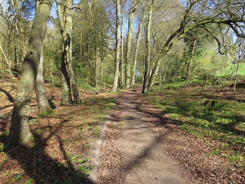
The path from Hollandridge Lane descending to Fire Wood
The path crossing in Fire Wood (I went straight on)
Fire Wood