Pete's Walks- Christmas Common, Russell's Water, Nuffield (page 1 of 7)
If you are considering walking this route yourself, please see my disclaimer. You may also like to see these notes about the maps and GPX files.
Google map of the walkDownload GPX file of the walk
I did this circular walk of about 16.2 miles on Saturday, May 6th, 2017. It was a repeat of a walk I did in August 2016 but in the opposite, clockwise, direction and starting at Christmas Common rather than Watlington Hill (in order to split a long section of road walking between the start and end of the walk).
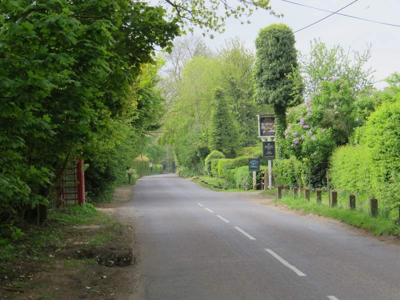
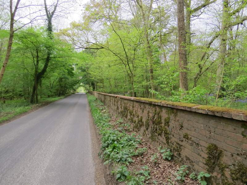
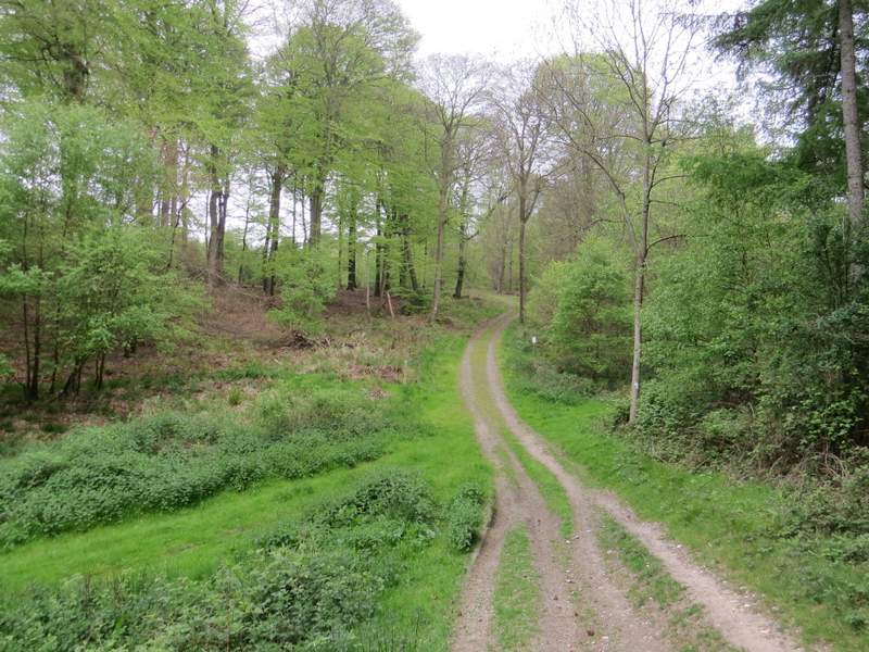
I parked in Christmas Common, in the small parking area by the start of the road to Northend (grid reference SU 714933), and started walking at roughly 10am. I went the few yards back to the junction with the road through the hamlet, and turned left, following the road past the village pub and on southwards. This was a rather dull start to the walk, following the road towards Greenfield, but within 10 minutes I'd reached the start of a bridleway on the left (just past the entrance to Watlington Park on the right). The bridleway went southeast and soon reached College Wood (at least that's the nearest name I can see on the OS map).
The road through Christmas Common
The road leaving Christmas Common

The road between Christmas Common and Greenfield
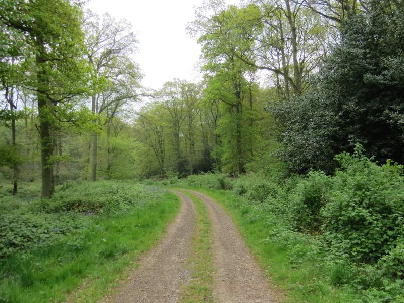
The start of the bridleway to College Wood
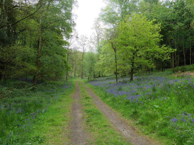
The bridleway approaching College Wood
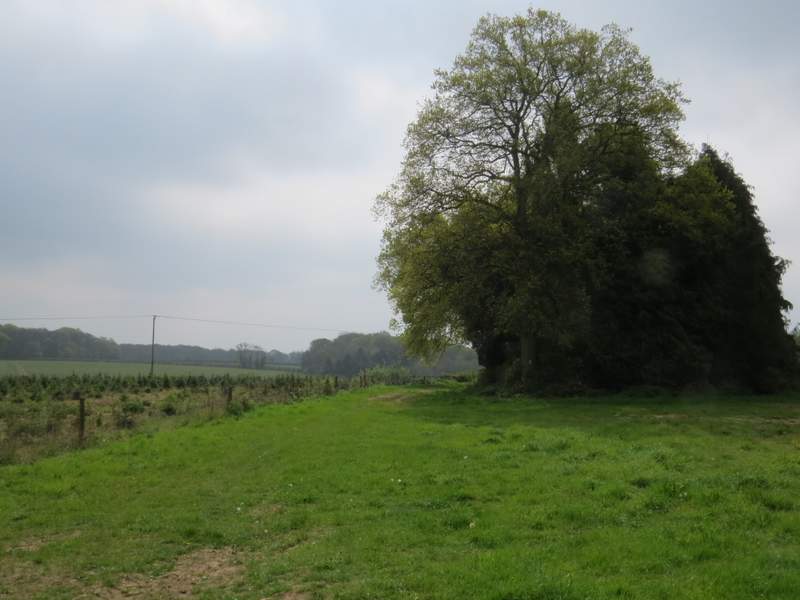
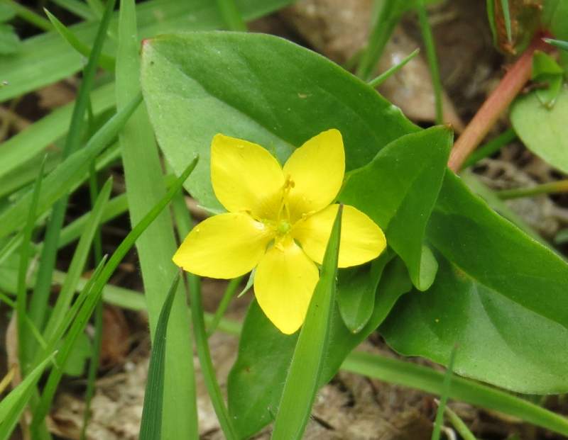
The bridleway then continued very pleasantly along a track, descending ever so slightly as it followed the bottom of a valley with the wood sloping up either side. There were plenty of Bluebells in the wood, and amongst other flowers I saw my first Yellow Pimpernel of 2017 and in several places I spotted Wood Speedwell, which I would see a lot of on this walk.
The bridleway continuing through College Wood
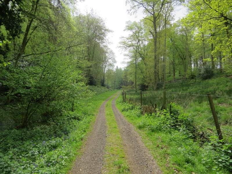
The bridleway continuing through College Wood
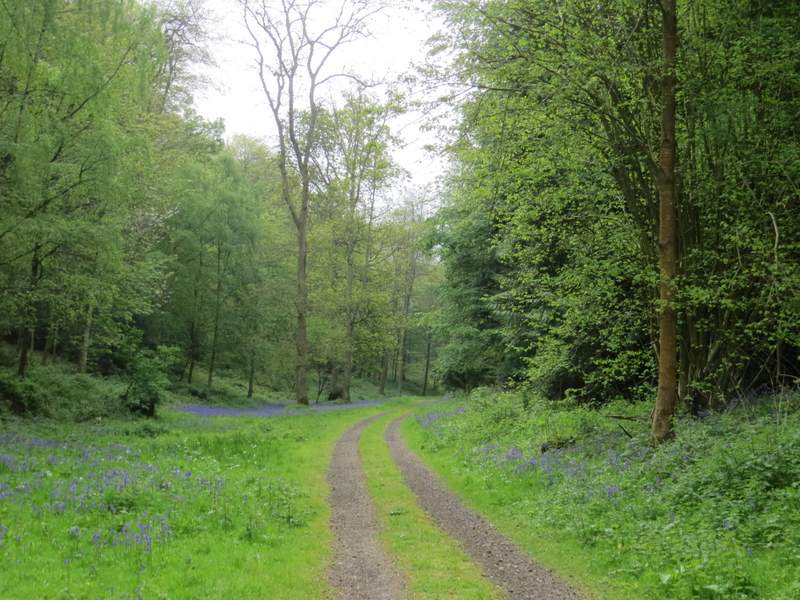
The bridleway continuing through College Wood
The bridleway continuing through College Wood
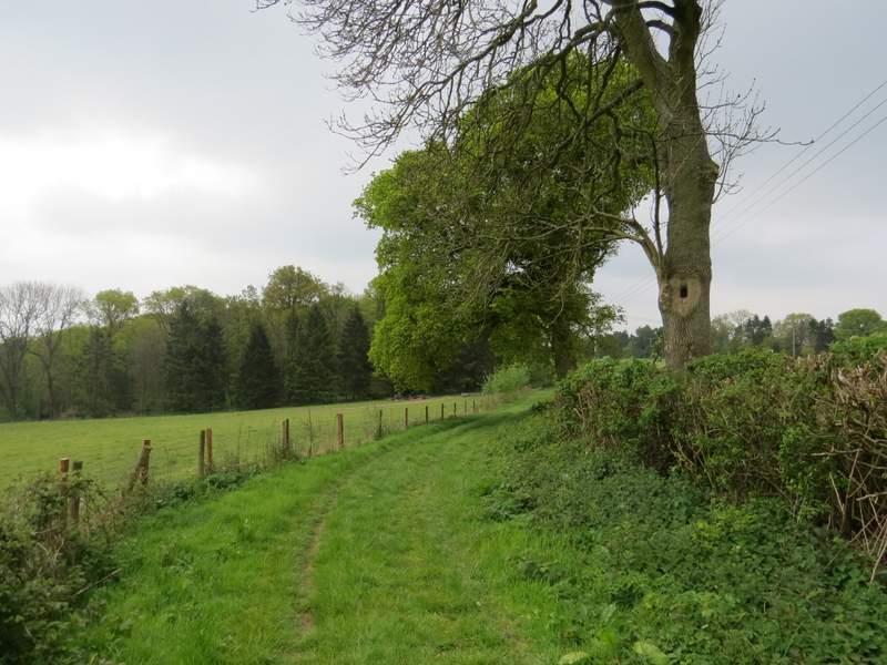
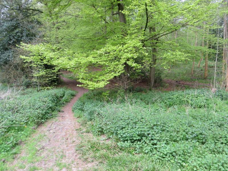
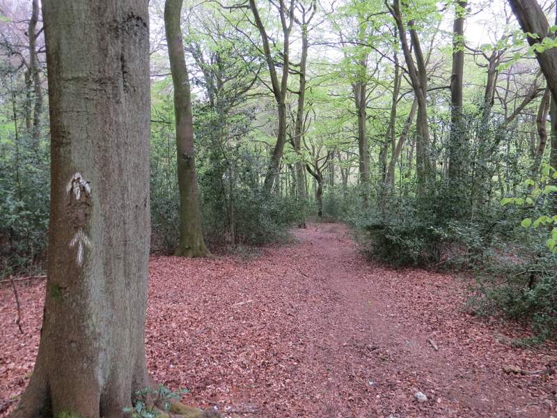
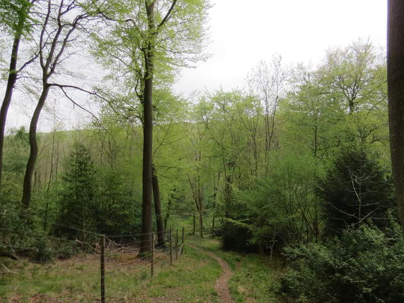
When another track crossed the track I was on, I turned right onto a crossing bridleway a few yards past the crossing track (it's easy to follow the track by mistake). This bridleway (part of the Chiltern Way) was a narrow path rather than a track, and it was very pleasant to follow as it ran southwest through College Wood and then parts of Greenfield and Shambridge Woods, with a couple of minor ups and downs (I went straight on at a junction in a valley bottom, following the 'CW' signs). After about a mile, just after passing the start of a fence on the left and just before the path started descending again, white arrows indicated where a permissive path went left (leaving the Chiltern Way), soon joining the fence on the left and dropping steeply downhill to reach a road in Pishill Bottom.
The start of the bridleway after I turned right in College Wood (there is a track just to the right of this path, which can be misleading)
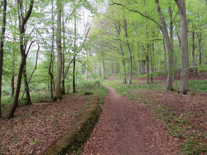
The bridleway continuing southwest through College Wood

The bridleway continuing southwest through College Wood
The bridleway continuing southwest, now in Greenfield Wood
The bridleway continuing southwest, now in either Greenfield Wood or Shambridge Wood
The start of the permissive path after I turned left in Shambridge Wood
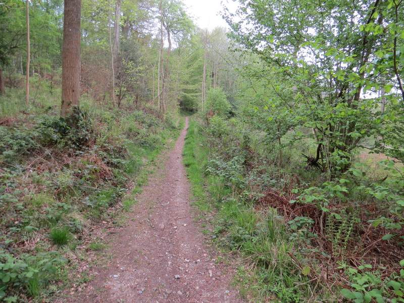
The permissive path after I turned left in Shambridge Wood