Pete's Walks - Maidensgrove Common and Moor Common (page 1 of 6)
If you are considering walking this route yourself, please see my disclaimer. You may also like to see these notes about the maps and GPX files.
Google map of the walkDownload GPX file of the walk
I did this "circular" walk of about 14.3 miles on Saturday, July 1st, 2017 - I am using the word "circular" even more loosely than usual here, the route was in fact more like a long and very thin rectangle. It was a new route, though largely on paths I'd walked many times before with only three short sections that were new to me. I have to thank my car's SatNav for suggesting the route to me - when I was driving around the Chilterns a couple of weeks ago looking at Orchids, I was surprised when it told me it was only seven and a bit miles between Moorend Common and Maidensgrove Common and I immediately decided to do a walk between the two places (in the event, I extended it very slightly to include Moor Common).
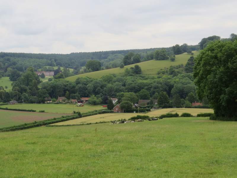
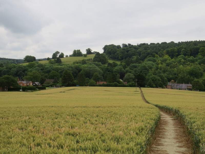
I parked on Maidensgrove Common where the lane crosses it (grid reference SU 717886) - it's all named Russell's Water Common on the OS map, but I believe this south-eastern end is named Maidensgrove Common. I started walking about 10.15am, following the lane across the common, then turning left along the edge of the common when the lane turned right (towards Russell's Water). I soon reached the end of the common, where a track or drive led on a short distance to a lane through Maidensgrove. I turned right and followed the lane for about a quarter of a mile towards Lodge Farm. Immediately before the lane ended at the farm, I turned left onto a bridleway between garden hedges. When the hedge on the right ended, I forked half-right onto a path that went across a corn field to reach Park Wood. The path continued through the wood, and then on leaving the wood it continued downhill through a large pasture with a small copse in it. There were nice views here, along the Stonor valley and across it towards Stonor House. The path then crossed another corn field to reach the road through Stonor.
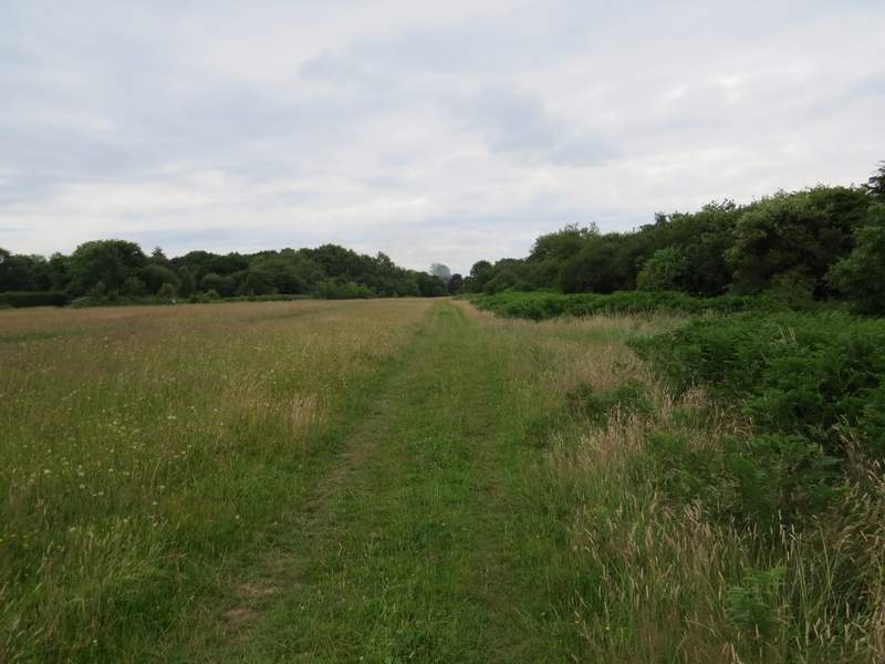
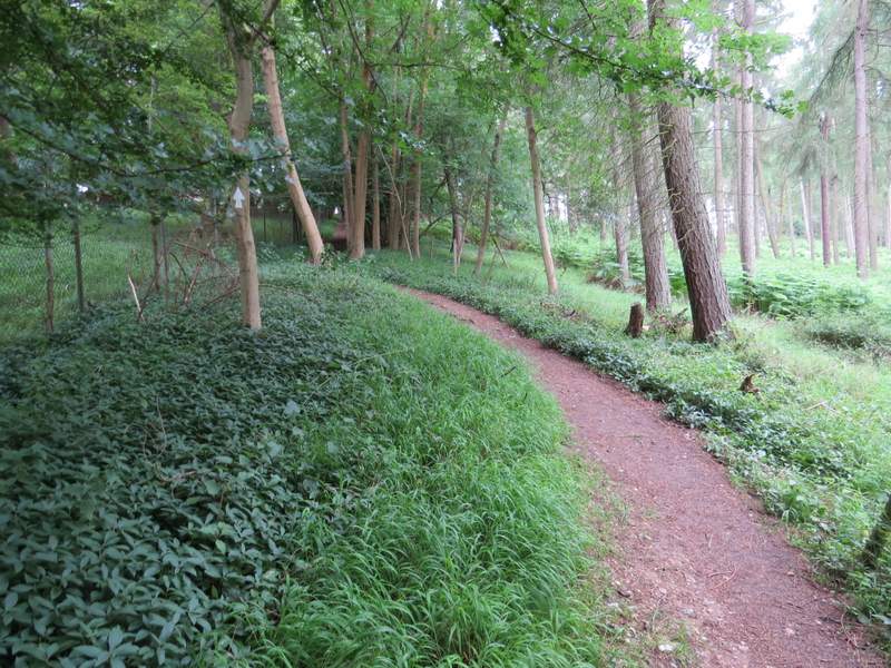
The path along the edge of Maidensgrove Common, from the corner of the lane to Russell's Water
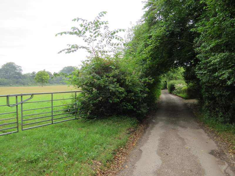
The lane through Maidensgrove, heading towards Lodge Farm
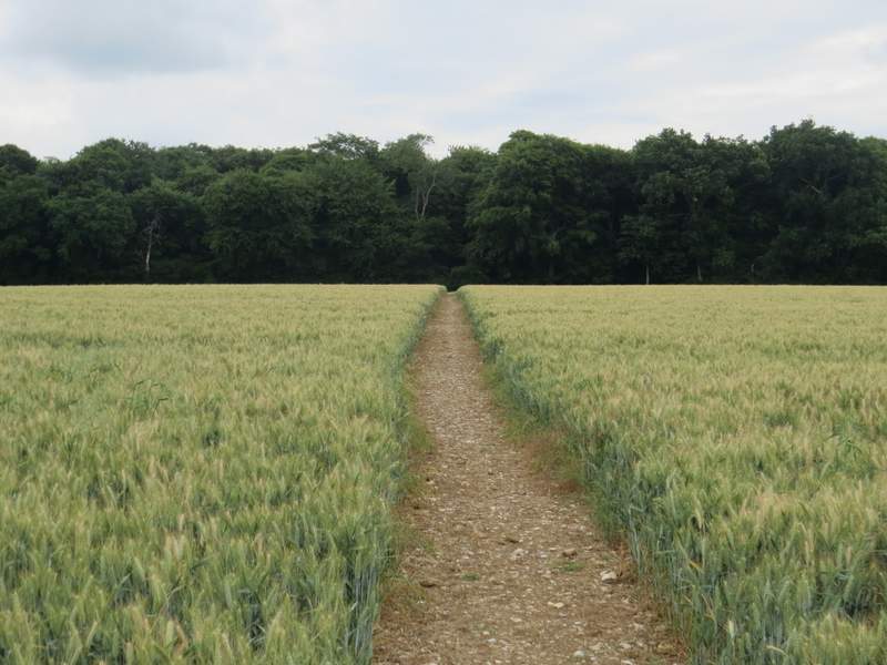
Near the start of the path to Stonor, heading towards Park Wood

Park Wood
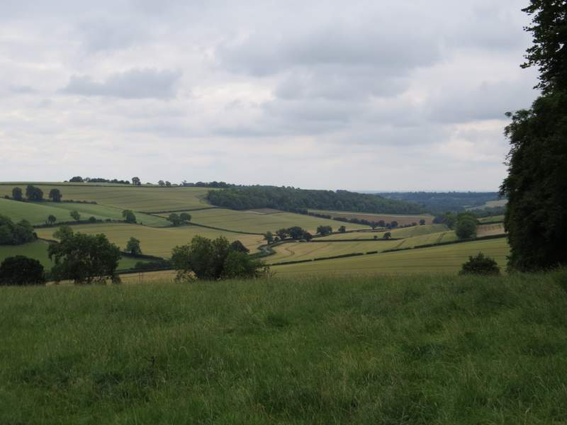
Looking right just after leaving Park Wood, along the Stonor Valley towards Middle Assendon (the wood on the far side of the valley is Paradise Wood)
The footpath now descending towards Stonor, with Stonor House on the left (there'll be more photos of it later in the walk)
Approaching Stonor
A few yards to the left, a bridleway started on the other side of the road. After passing between garden fences, it started climbing quite steeply through Almshill Wood, following the boundary fence of the Stonor deer park on my left. As usual I found it a bit of a struggle up this hill, but I got there in the end. At the top of the hill I turned left along a farm track (I usually go right here, to Coxlease Farm). The track soon ended at a bend in a lane, where I entered what was new territory for me by following the lane straight on.
The bridleway from Stonor rising through Almshill Wood (with the fence of the deer park around Stonor House on the left)
This looks flat doesn't it! I can assure you it isn't! The average gradient is about 1 in 6, over about a third of a mile.
Almost at the top
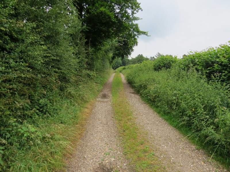
The drive from Coxlease Farm
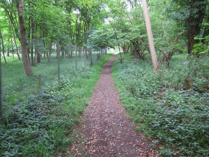
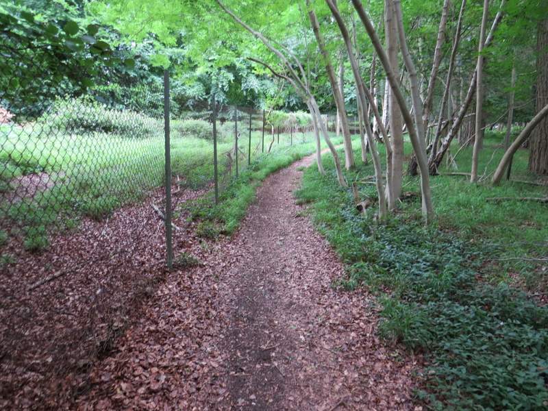
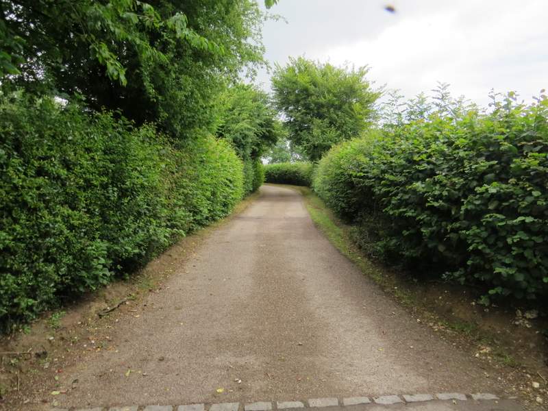
The lane soon curved slightly left, then ran straight for several hundred yards. This half-mile lane walk was quite pleasant, as I didn't meet a single vehicle and much of the way I was shaded by overhanging trees. Shortly after passing a junction where a lane went left (and the lane I was following turned right), I turned left along a bridleway that started down the drive to Kimble Farm. I soon reached a polite sign inviting bridleway users to use a permissive bridleway (on the right) which avoided Kimble Farm (the sign did also indicate where the official route went). I chose to follow the permissive bridleway which immediately passed a wildflower meadow on my left. It then ran between a hedge on my left and a wooden fence, dropping slightly downhill towards Kimble Wood. On the edge of the wood the permissive bridleway rejoined the official route of the bridleway, and when just inside the wood a footpath crossed the bridleway I recognised where I was.
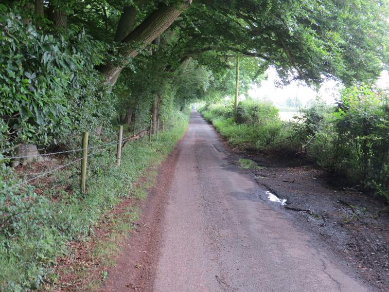
The half-mile lane walk
The half-mile lane walk
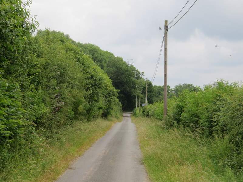
The start of the bridleway to Kimble Wood
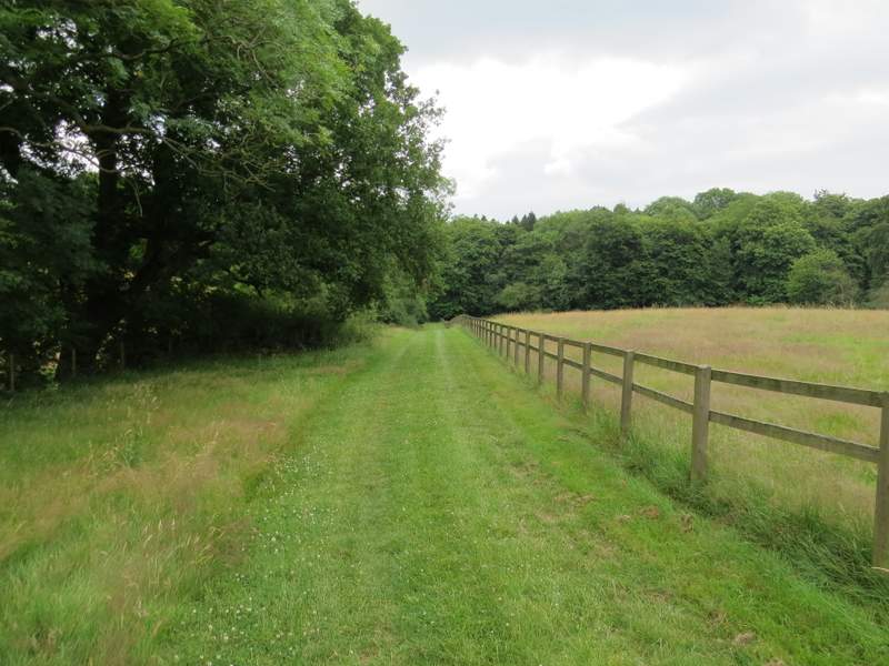
The permissive bridleway to Kimble Wood, avoiding Kimble Farm