Pete's Walks- Little Missenden and Knotty Green (page 2 of 6)
If you are considering walking this route yourself, please see my disclaimer. You may also like to see these notes about the maps and GPX files.
I turned right and walked through the church car park, continuing along a short path through trees on the far side to reach the large green at Penn Street. I turned left (I followed some mown paths through the long grass here, stopping to take a look at the pond on my left). I crossed the road next to the green and went down a short gravel street with a few houses either side. A path continued at the end, bearing slightly right as it crossed a large corn field before continuing through a wood (with fields a few feet to my right). The path then crossed another corn field, and then went past some allotments on the right to reach a street in Winchmore Hill.
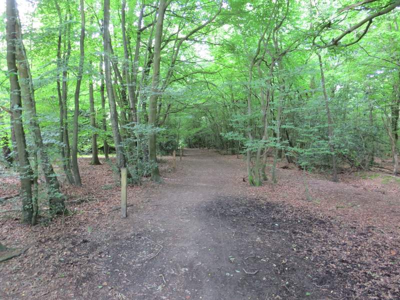
The short path between the car park at Penn Street Church to the green at Penn Street
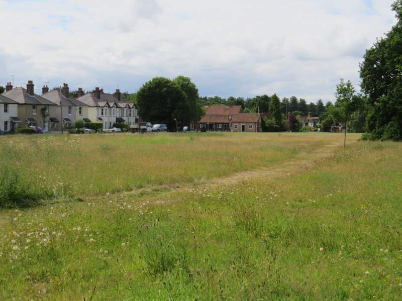
The green at Penn Street
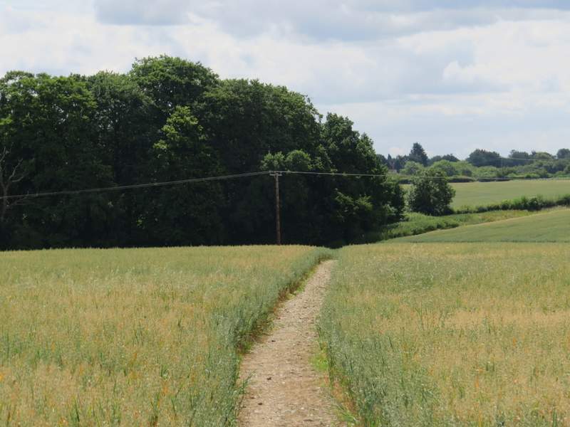
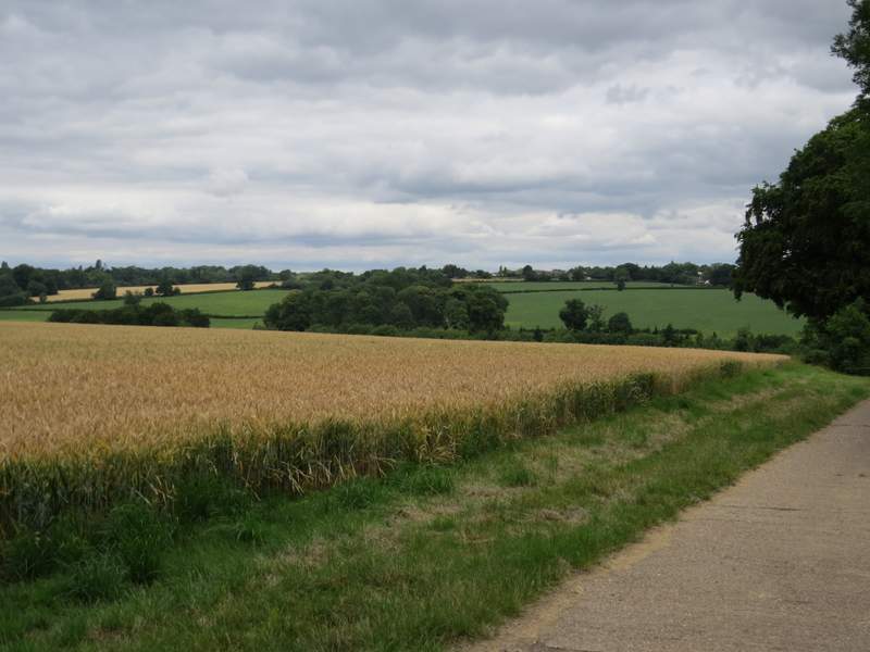
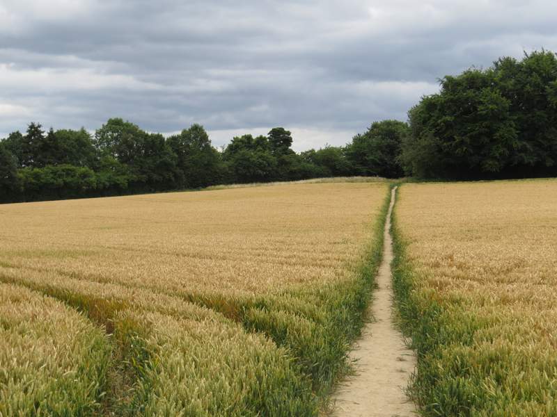
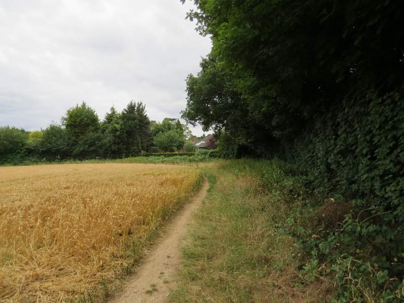
The path from Penn Street to Winchmore Hill
The path from Penn Street to Winchmore Hill
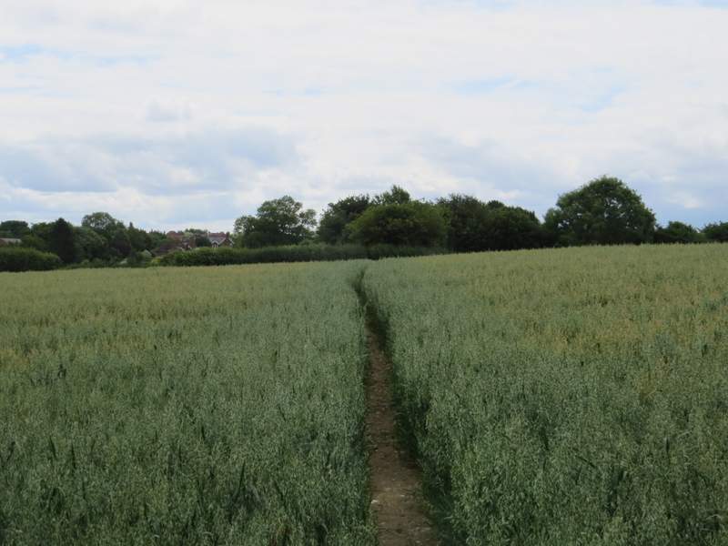
The path from Penn Street to Winchmore Hill
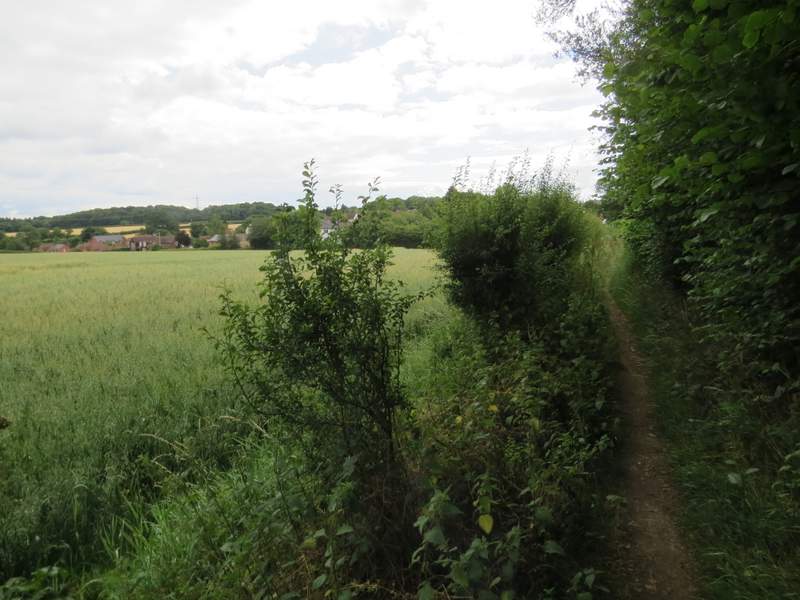
The path from Penn Street to Winchmore Hill
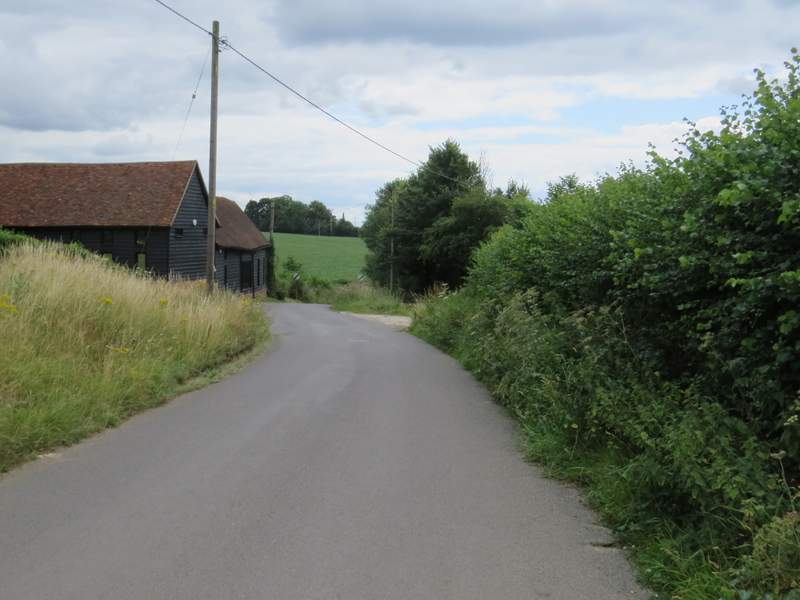
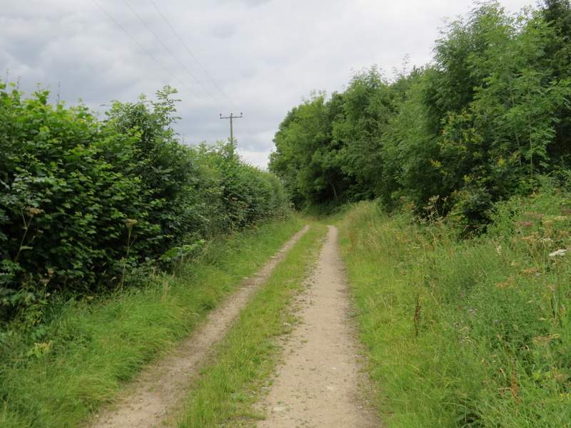
I crossed over and followed a path through the grass of a small green, soon reaching a road where I continued straight on with a sports field to the right of the road. I kept on along the road, passing two pubs on my left (close to where two roads went left), and followed the road out of the village - it was now named Fagnall Lane on the OS map. I followed it gently downhill for over half a mile (having to almost bury myself in the hedge on the few occasions a vehicle came by).
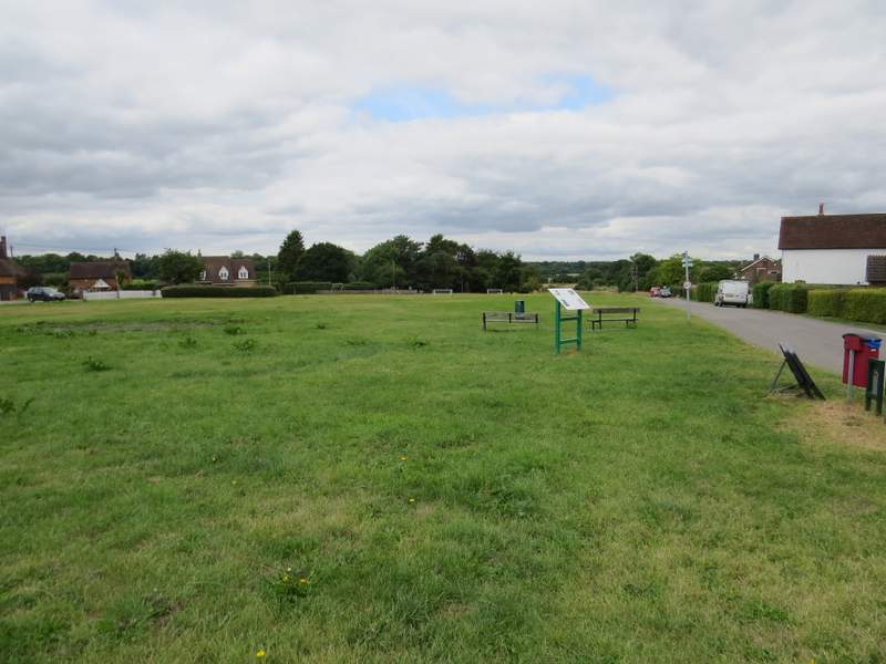
Looking back over the playing field at Winchmore Hill
The lane out of Winchmore Hill
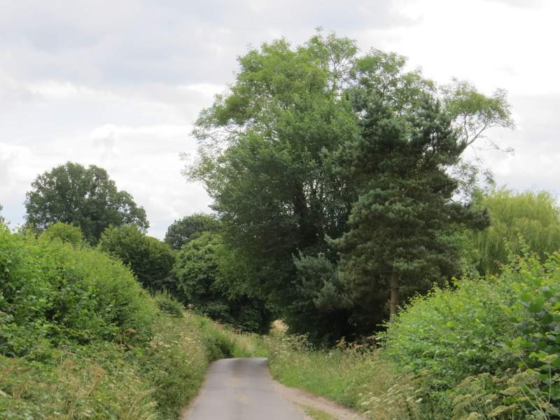
Fagnall Lane
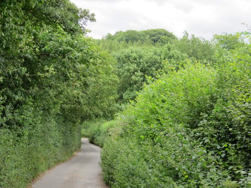
Fagnall Lane
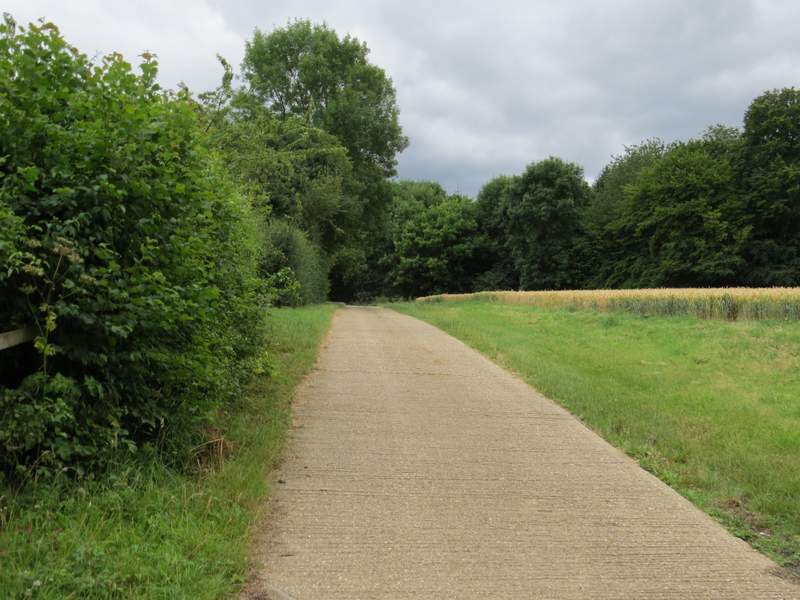
In the valley bottom the lane turned right, but I went straight on along the surfaced drive to Seagrave's Farm, which rose up the other side of the valley. On reaching the farm, the path turned right along a track, soon passing between corn fields and dropping slightly downhill to pass a corner of a wood on the left. The path then left the track (which turned left) and crossed another corn field, rising very slightly uphill. In the distant field corner, the path went through a hedge gap to reach another corn field, where the path turned right and then quickly turned left in another field corner. I was now right on the edge of Knotty Green.
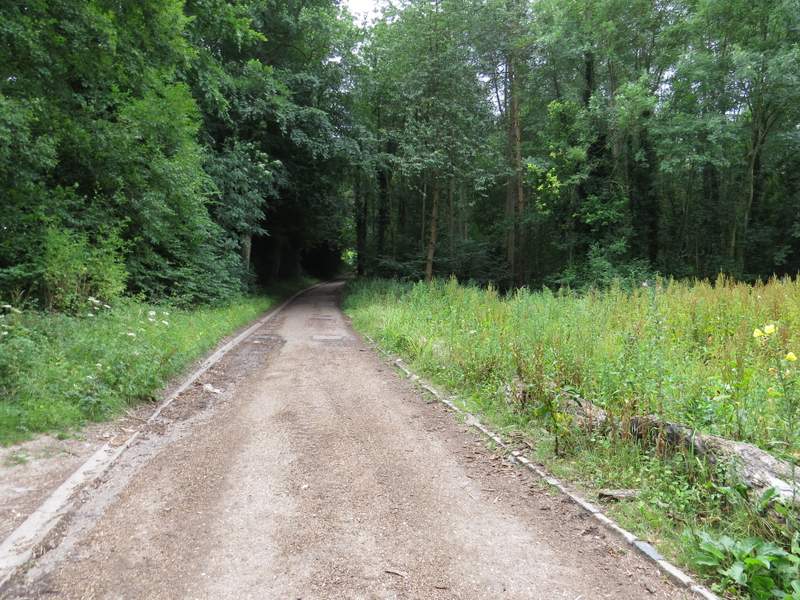
The start of the drive to Seagrave's Farm
The drive to Seagrave's Farm
View back towards Winchmore Hill, from the drive to Seagrave's Farm
The path continuing just past Seagrave's Farm
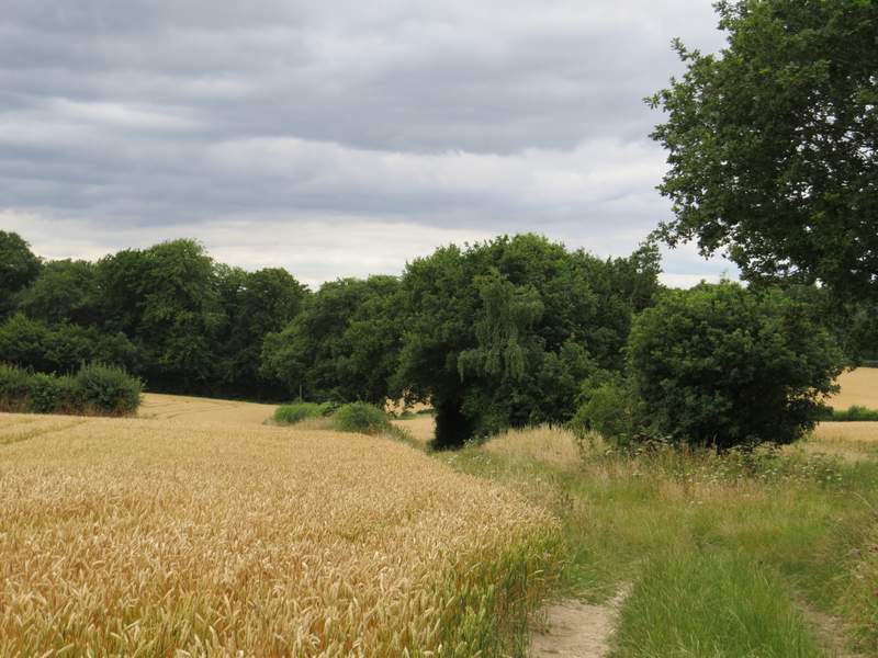
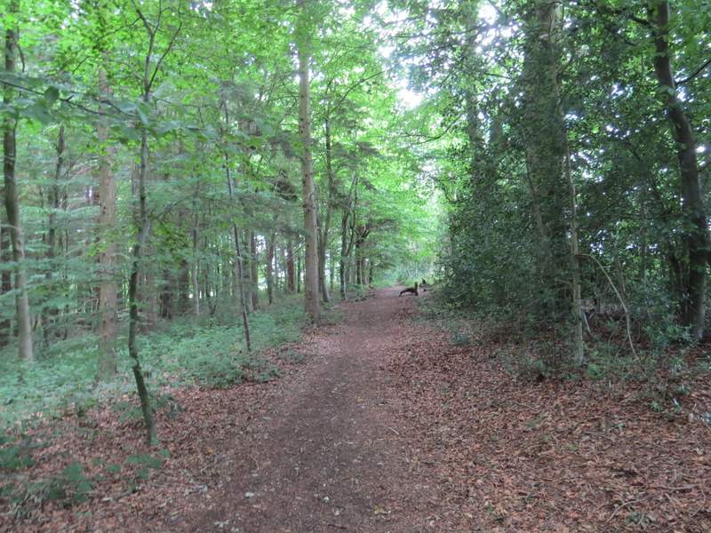
The path from Seagrave's Farm to Knotty Green
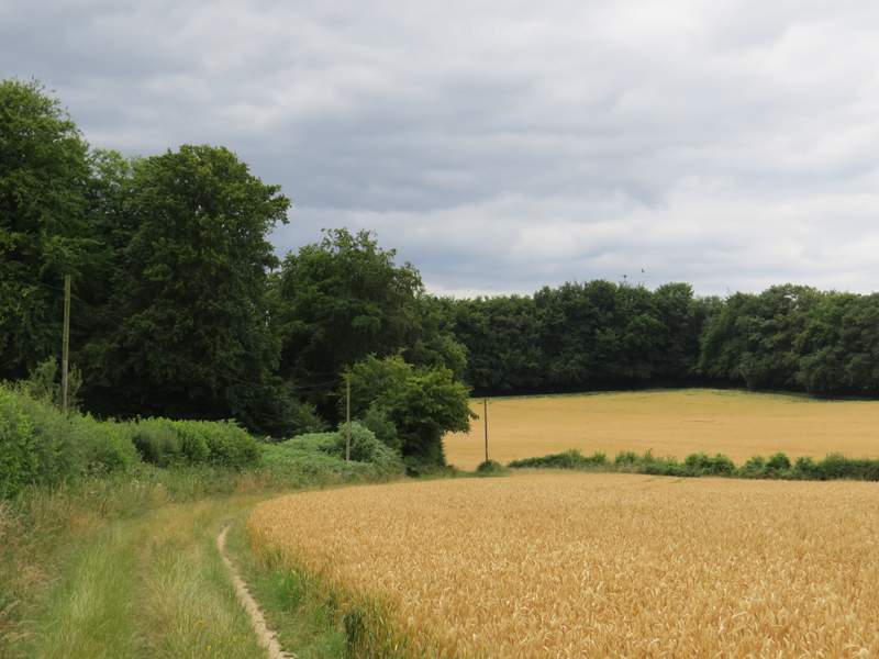
The path from Seagrave's Farm to Knotty Green
The path from Seagrave's Farm to Knotty Green
The path on the edge of Knotty Green