Pete's Walks- Coombe Hill and Prestwood (page 1 of 4)
If you are considering walking this route yourself, please see my disclaimer. You may also like to see these notes about the maps and GPX files.
I did this circular walk of about 9.8 miles on Friday, 4th August 2017. It was a new route for me, mainly on familiar paths but with at least one short path I'd never walked before and another couple of paths that I'd only walked once before about 10 years ago. 'Coombe Hill and Prestwood' is possibly a bit of a misnomer for this route, as I never visited the top of Coombe Hill and didn't actually enter Prestwood, the nearest I got to it was the adjoining Lodge Wood.
Note: I should say that I only followed this route in order to look for particular wildflowers at three different points along the way. I WILL ADD AN ALTERNATIVE TO THE MAP
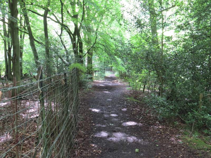
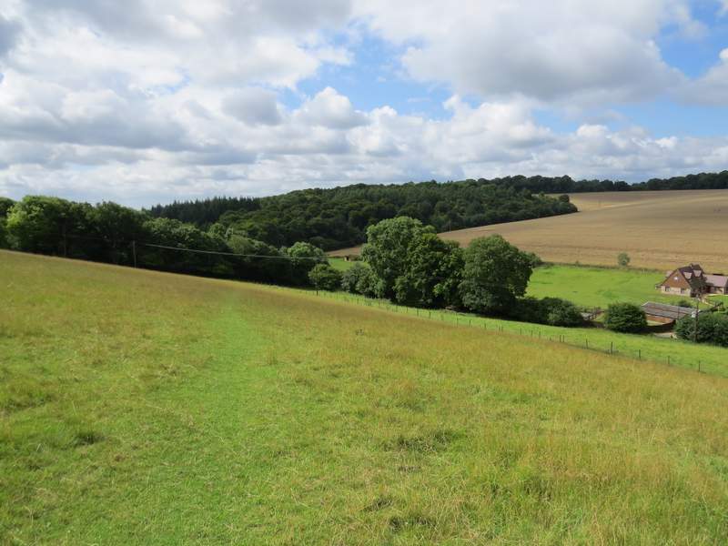
I parked at the Coombe Hill car park (Grid Reference SP 852063), and started walking at about 10.15am. At the entrance to the car park, facing the road, I turned left along a path into the woods that I'd never walked before. The path was perfectly clear, but didn't really match what was shown on the OS map. Instead of coming to a T-junction (where I intended turning right), I came to a crossroads where I went more or less straight on. The path continued through Low Scrubs (the name of this part of the wood) for a few hundred yards until it ended at a bridleway running alongside an iron fence - I recognised this as the bridleway from Coombe Hill to Dunsmore, but I'd expected to meet it a bit further to the right. There was no footpath sign here, but after I'd walked two or three hundred yards to the right along the bridleway there was one. Perhaps I should have gone right at the path crossroads (and then kept left at a path fork shown on the OS map) to get here - Low Scrubs is an open access area, so it doesn't really matter. Anyway I continued along the bridleway (spotting a Roe deer at one point), following the fence on my left and soon with another to my right, for about another half mile to reach the hamlet of Dunsmore.
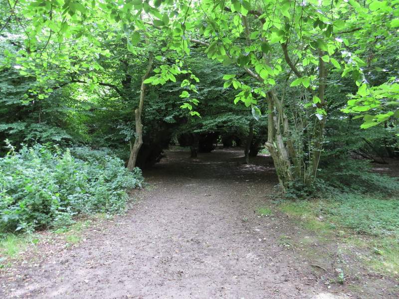
The start of the path from the Coombe Hill car park, entering Low Scrubs
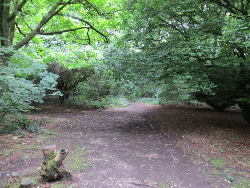
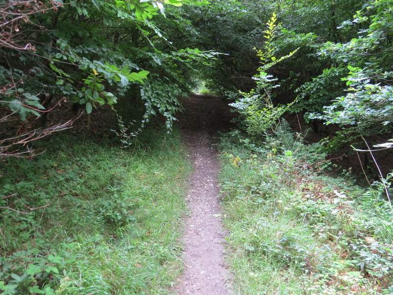
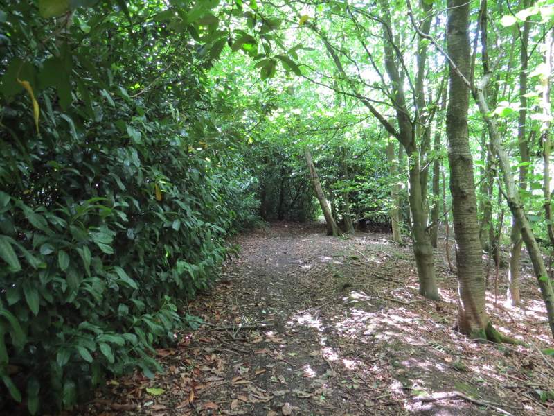
The path through Low Scrubs
The path through Low Scrubs
The bridleway to Dunsmore
The bridleway to Dunsmore
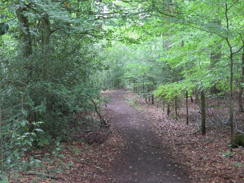
The bridleway to Dunsmore
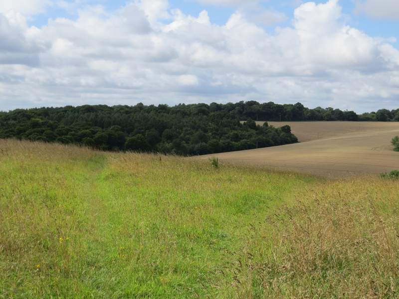
I turned right at the lane junction in the centre of Dunsmore by the chapel and duck pond. After a hundred yards or so I turned left over a stile, and took the leftmost of two paths through a grassy pasture that sloped down to my right. On the other side of this pasture I went over another stile and crossed a narrower pasture (there were a few young cattle lying down in it), dropping slightly downhill to a third stile. Over this, the path continued through an empty pasture, dropping downhill to the far corner, where I turned left along a bridleway coming from Old Dunsmore Farm. I soon came to a crossing bridleway (going right would have taken me to Little Hampden), where I continued ahead on what was now a footpath, running through Hampdenleaf Wood (I'd only used this path once or twice before, I don't think that I've ever mentioned it on this web site before).
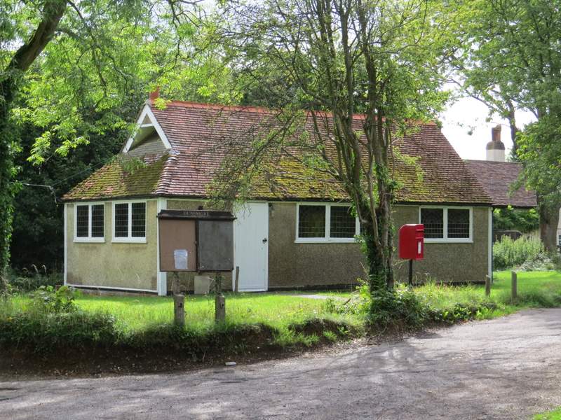
I've never been sure whether this is a church or a chapel - I've just 'googled' it and it's a Church of England chapel (Chapel of the Resurrection, Dunsmore) which I think is rather unusual. I think most C of E chapels are within churches and Cathedrals.
I took this photo from the stile as I left Dunsmore - I took the left fork
The path from Dunsmore dropping into a valley near Old Dunsmore Farm
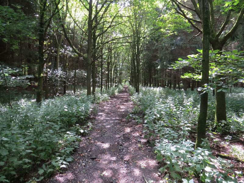
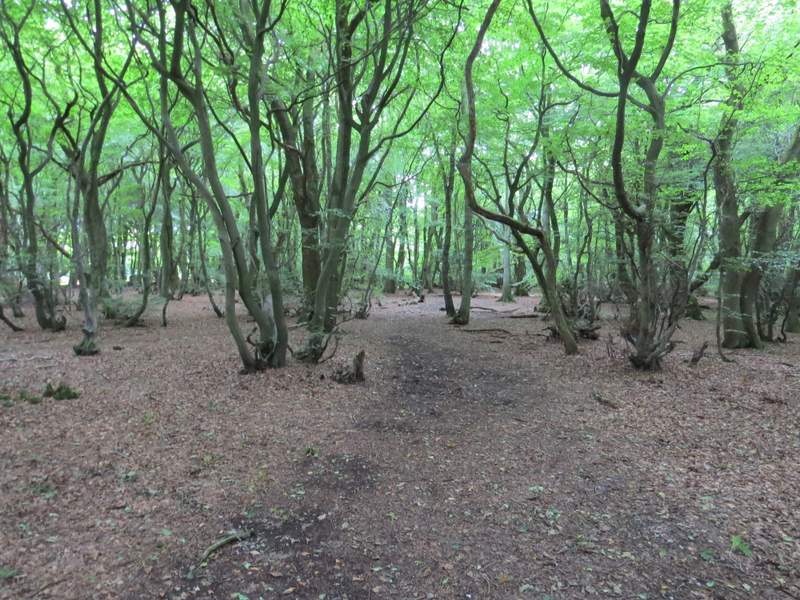
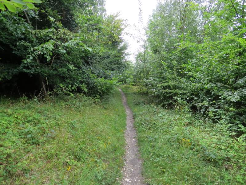
The footpath through Hampdenleaf Wood
The footpath through Hampdenleaf Wood
After a few hundred yards the path was running close to the edge of the wood on my right. When I then reached a path junction in a corner of the wood, I turned left (back on a more familiar path) and followed the path uphill through more of the wood. On reaching a path crossroads not far below the top of the slope, I turned right and continued through still more of Hampdenleaf Wood (I'd only walked this path once before, about 10 years ago, and have not described it on this web site before). I followed this almost level path for about three-quarters of a mile, going straight on at a couple of path crossroads (somewhere along the path I spotted my second Roe Deer of the day, which was a first for me - I have never before had more than one sighting of these deer on any walk I've done in the Chilterns, in fact I doubt I average much more than two sightings a year, though they do seem to be coming slightly more common nowadays). Eventually the path ended when it reached Cobblershill Lane.
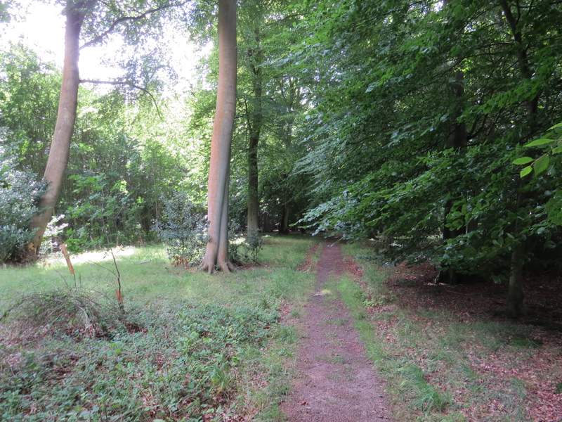
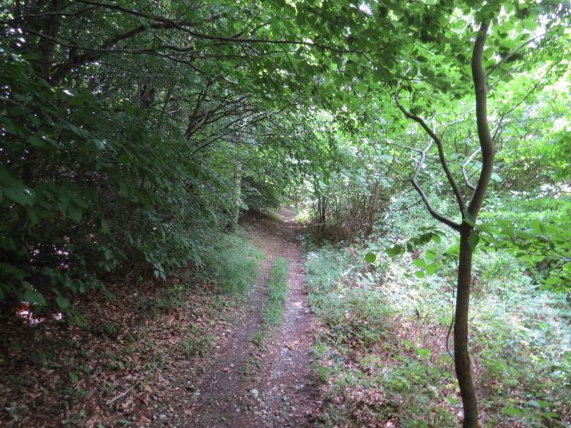
The footpath through Hampdenleaf Wood after I turned left
The footpath through Hampdenleaf Wood after I turned left
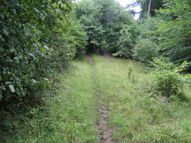
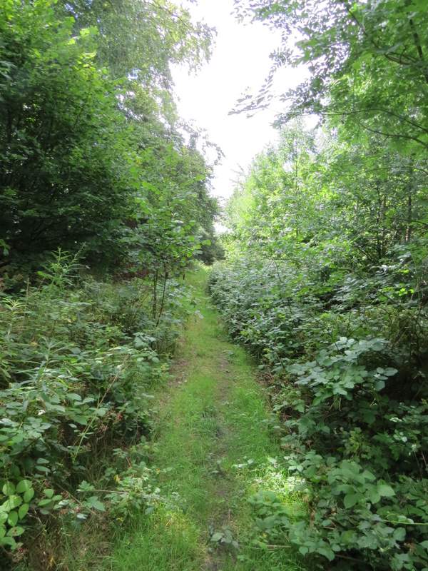
The footpath through Hampdenleaf Wood after I turned right at a path crossroads
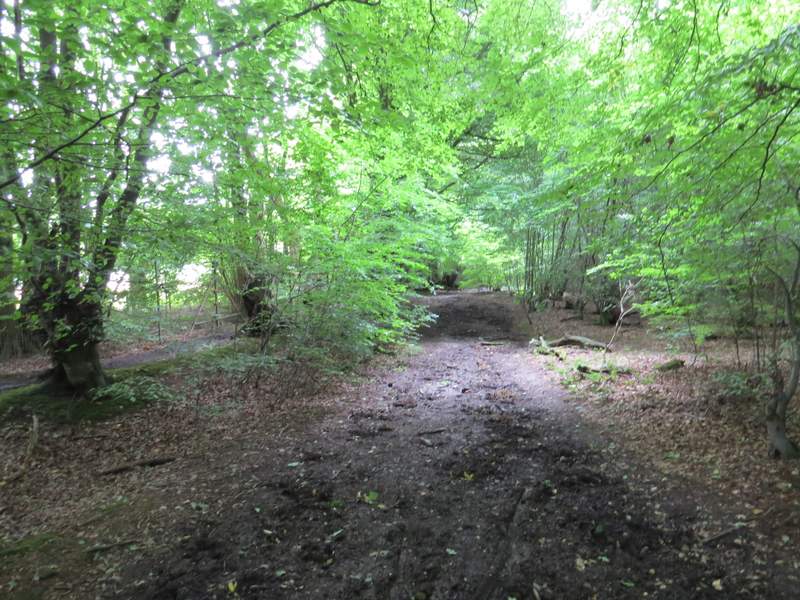
The footpath continuing through Hampdenleaf Wood
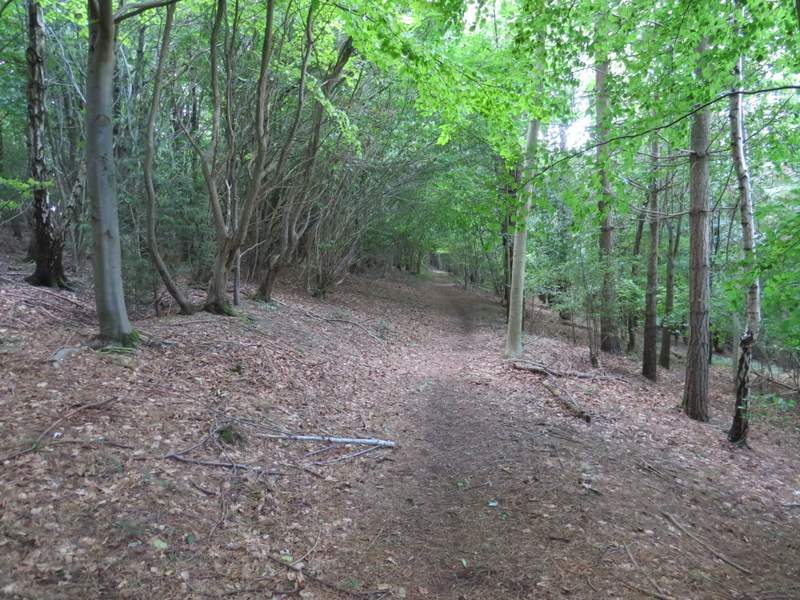
The footpath continuing through Hampdenleaf Wood
The footpath continuing through Hampdenleaf Wood
The footpath continuing through Hampdenleaf Wood