Pete's Walks - Chenies and Chalfont St Peter (page 2 of 3)
If you are considering walking this route yourself, please see my disclaimer. You may also like to see these notes about the maps and GPX files.
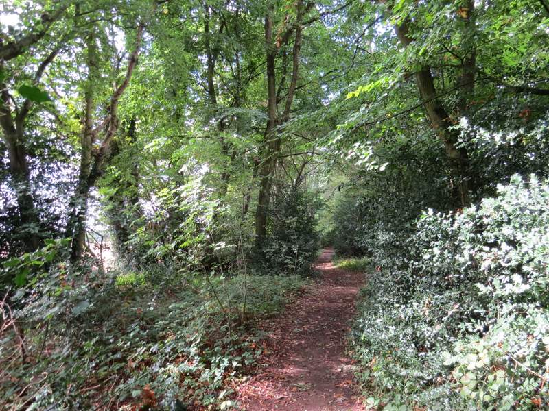
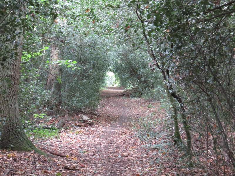
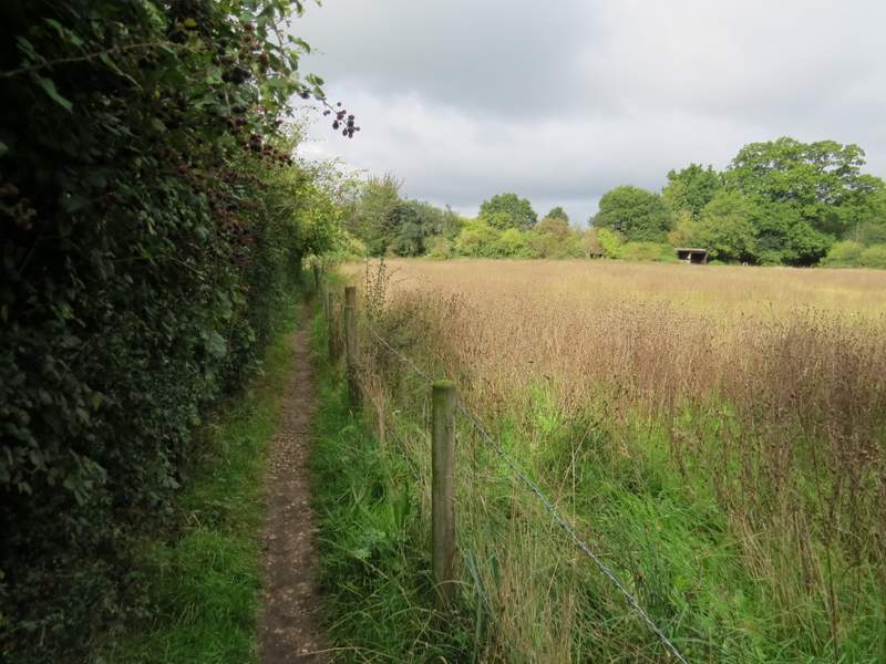
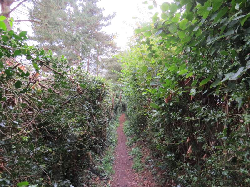
The bridleway followed the edge of the wood for several hundred yards, after a while gently descending downhill. When the bridleway turned left, I took the second of two paths going right. This path followed a fence on my left, running through Phillipshill Wood and soon curving left and going slightly uphill. On leaving the wood, the path followed the right edge of a very large meadow, with the Chiltern Open Air Museum further to my left (I think I could seee the roof of one of the buildings relocated there). After a few hundred yards I reached the end of the meadow, where I went a few yards right along the drive from the museum (and from the former Newland Park) to reach a minor road.
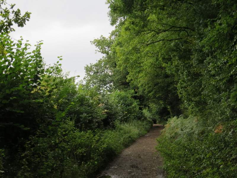
Old Shire Lane, now running past Phillipshill Wood
 />
/>
Old Shire Lane, now running past Phillipshill Wood
Old Shire Lane, now running past Phillipshill Wood and just before I turned right
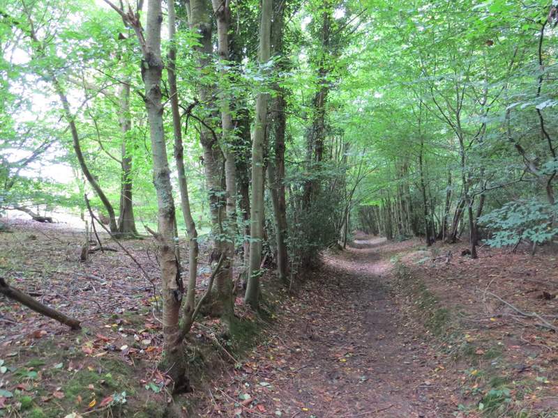
The path through Phillipshill Wood
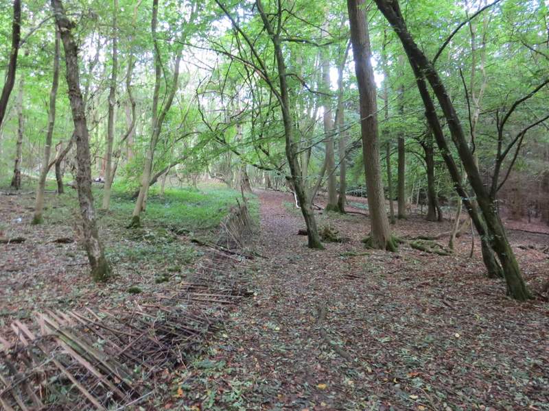
The path through Phillipshill Wood
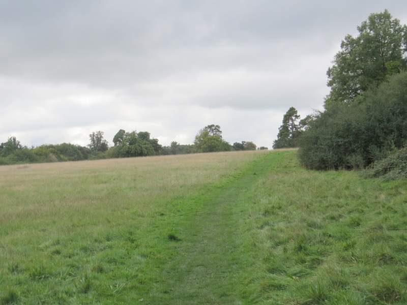
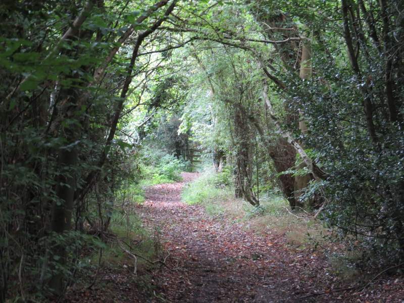
The path continuing from Phillipshill Wood, close to the Chiltern Open Air Museum
The path continuing from Phillipshill Wood, close to the Chiltern Open Air Museum
 />
/>
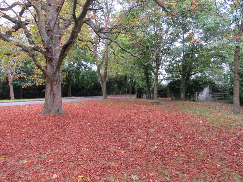
Arriving at the drive and gate of the Chiltern Open Air Museum
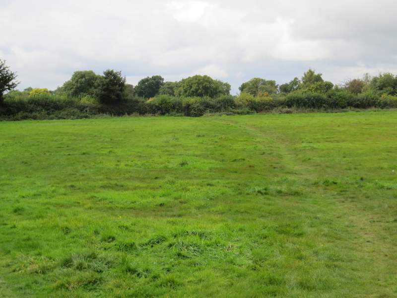
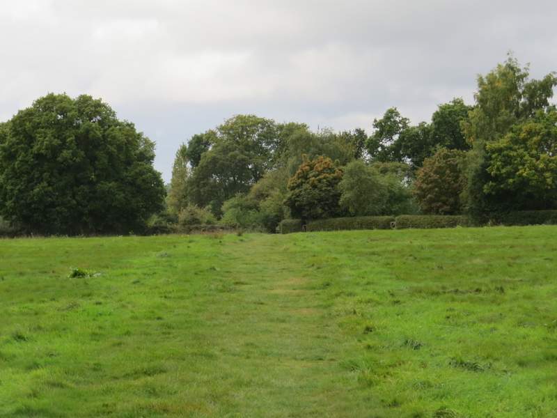
I crossed the road carefully, and continued down a bridleway that ran through a tree belt (with a lot of holly), this being a former section of the drive to Newland Park. At the end of the drive, I crossed another minor road and carried straight on down a footpath, running between a hedge and a fence. After a hundred yards or so I came to a path junction, where both the Chiltern Heritage Trail and the Chiltern Way went half-left across a meadow (I double-checked the guidebook here, as when I walked the Chiltern Heritage Trail in 2006 it went straight on here). The path then continued across a larger meadow, and in its far right corner the path continued through bushes for a few yards to reach a path junction where I went right.
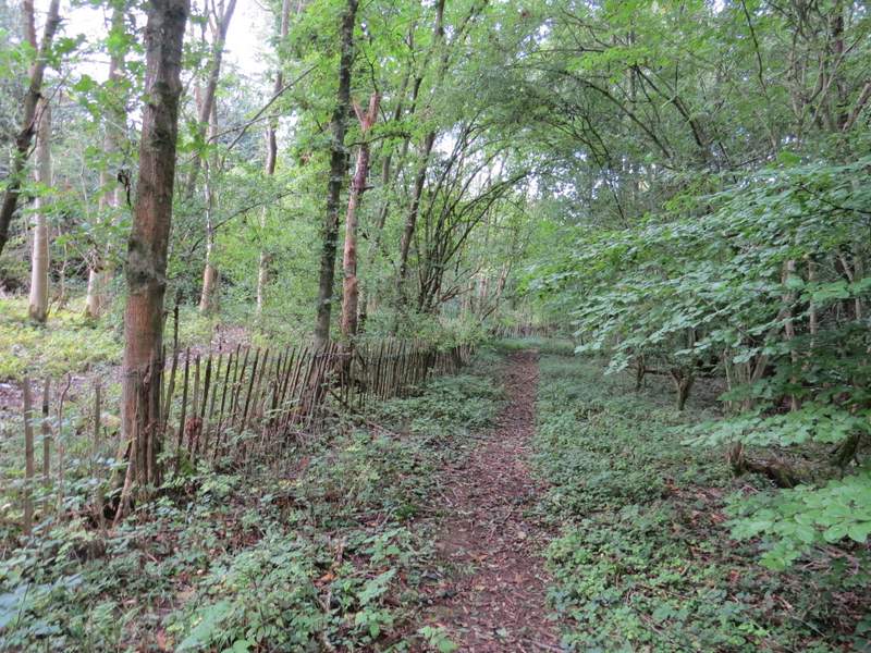
The old drive from Newland Park
The old drive from Newland Park
The path across the lane from the old drive
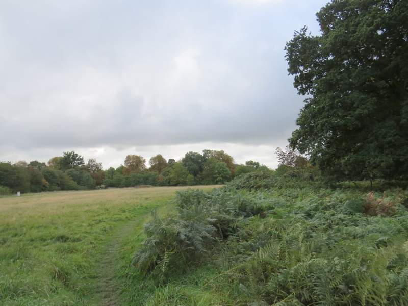
The path to Chalfont St Giles
The path to Chalfont St Giles
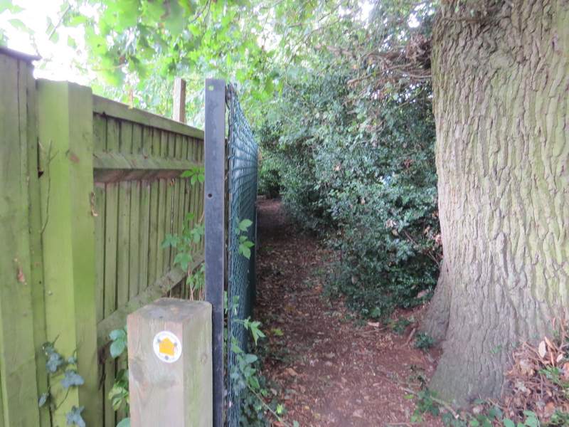
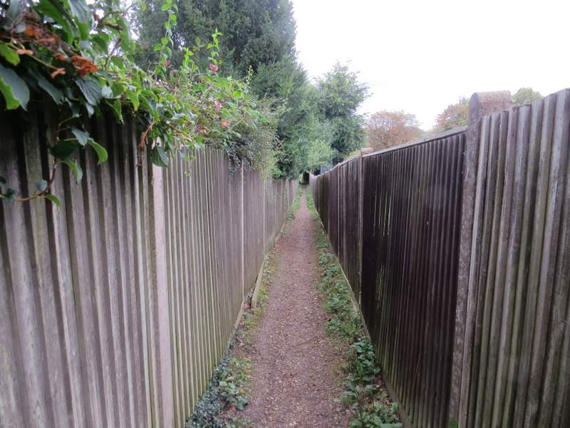
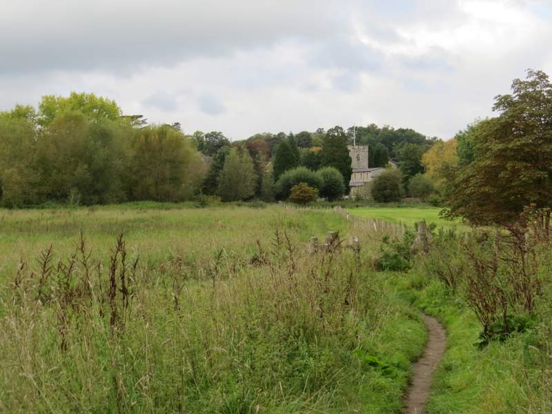
The path ran for a few hundred yards between hedges and garden fences to reach the A413, the main road that runs through the Misbourne valley. Across this a path continued down an alley between more garden fences, then folowed a fence on my right across a rather overgrown water meadow, with Chalfont St Giles church now in view ahead of me.
The path to Chalfont St Giles
The path to Chalfont St Giles
The path continuing after I crossed the road
Approaching Chalfont St Giles