Pete's Walks - Little Missenden and The Lee (page 3 of 3)
If you are considering walking this route yourself, please see my disclaimer. You may also like to see these notes about the maps and GPX files.
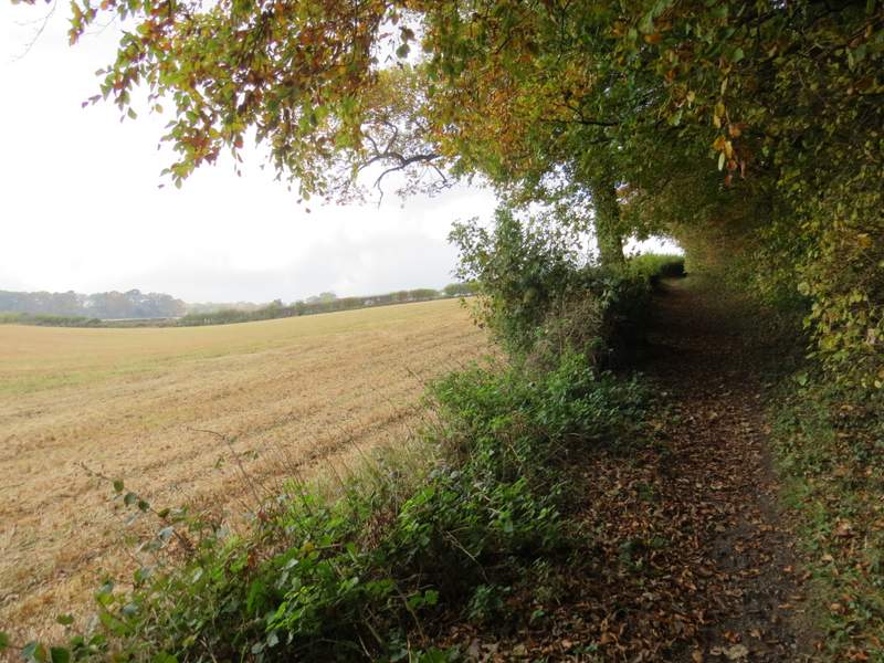
The path led fairly gently uphill beside two sheep pastures on my left. It then continued uphill beside a wood on my left for a short distance. The slope then gradually levelled off as I continued alongside a fence on my right. On reaching a field corner the path then went half-left through a second wood, then crossed a large paddock (with two horses) to reach a lane. On the other side of the lane, the path ran through a meadow, where I kept left at a path fork to reach a gap in a hedgerow. Through this, I turned right and followed the edge of the field, which turned left and then right (the OS map shows the path going across this corner of the field). In the next corner I went over a stile and turned left, along a path between a hedgerow and a fence on my right. After a couple of hundred yards or so, I went over another stile in the hedge, and turned right. I soon came to a field corner where I went left, then after a short distance I turned right over a stile in the hedge. I followed the right edge of a small meadow, then went through a couple of gates and a few yards further on turned right along a rather overgrown path, with a sports field over the hedge on my left. Immediately before the path reached a road, I went through a gate on the left and walked past a children's Play Area in the corner of the Sports field to reach a lane in the village of Ballinger Common, where I turned left [Note:when I walked the Chiltern Heritage Trail in 2006, the route went to the end of the path (which was also overgrown then), turned left along the road and then left into the lane.]
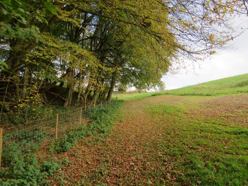
The path to Ballinger Common, passing the first wood
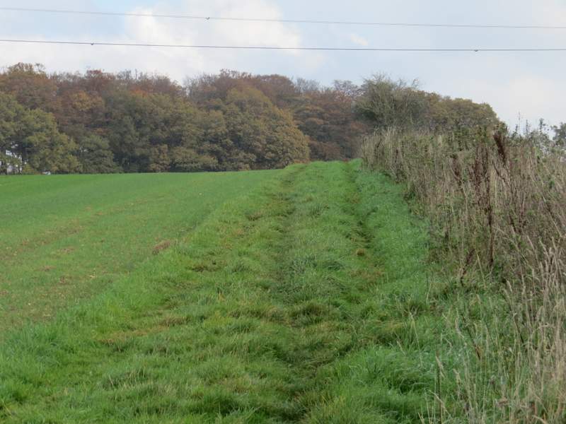
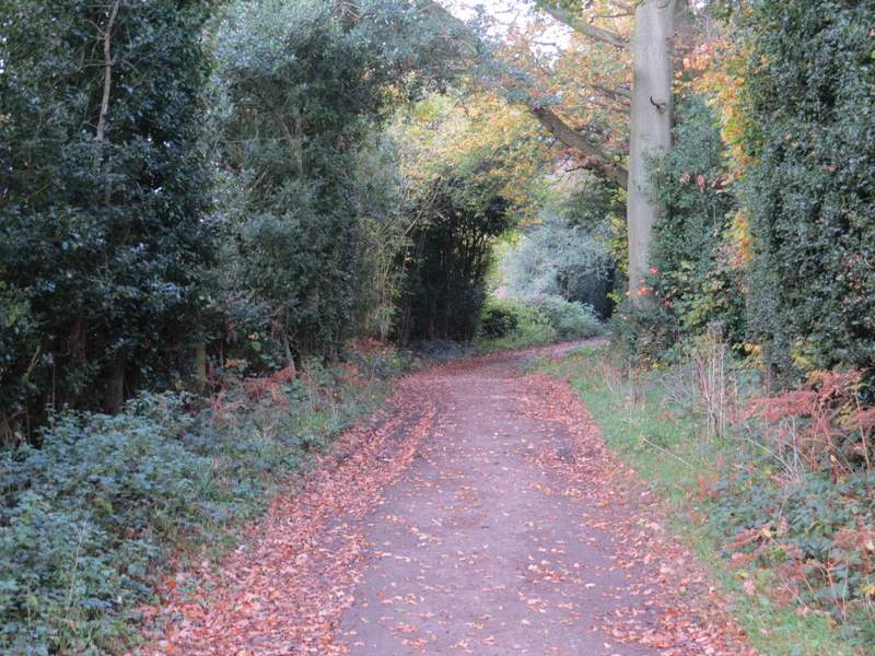
The path to Ballinger Common
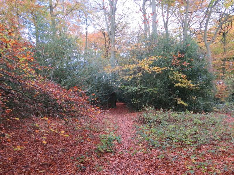
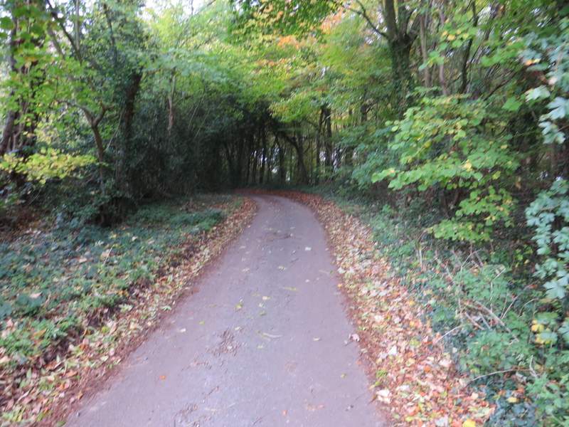
The path to Ballinger Common, in the next wood
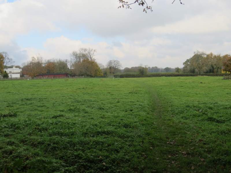
The path to Ballinger Common, approaching the lane
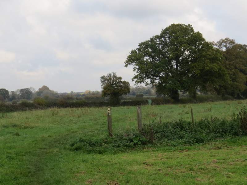
The path across the lane (it goes to the hedge gap by the tree)
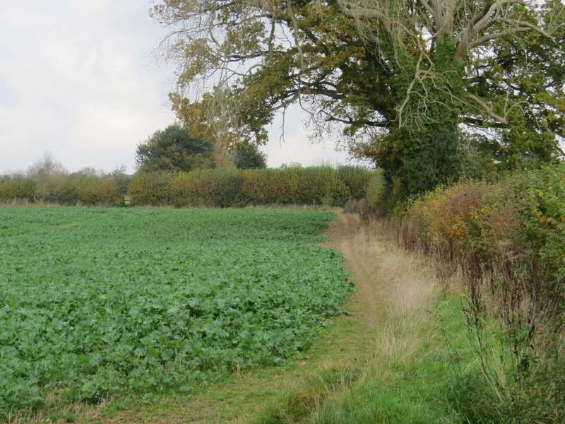
The path continuing round the edge of the next field
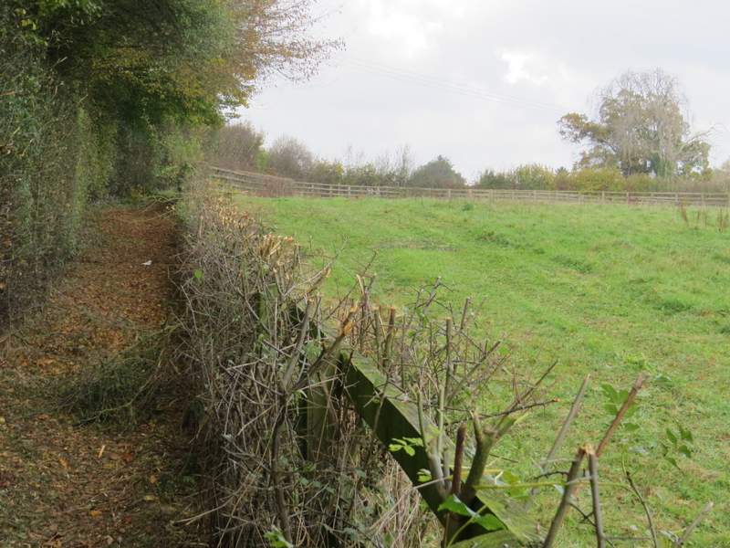
The path running between a hedge and a fence, after I turned left
The path after I turned left again (over a stile in the hedge). The path continued through the hedge gap at the top left of this photo.
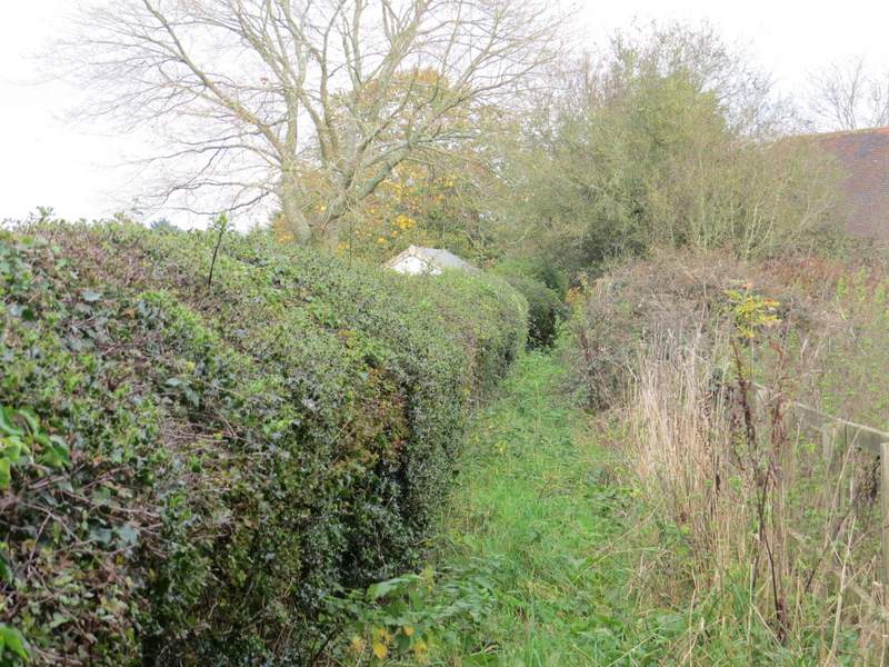
The rather overgrown path next to the sports field at Ballinger Common
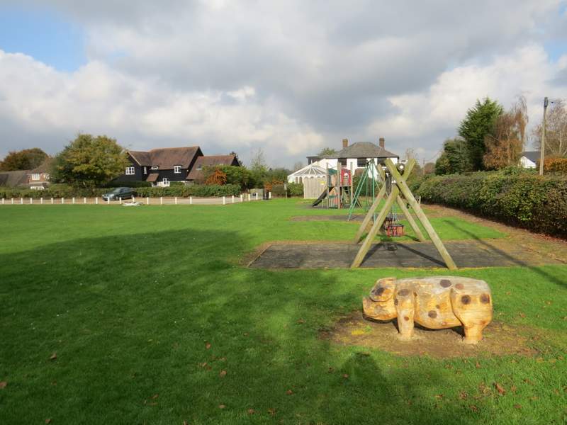
The Play Area at Ballinger Common (I took the entrance/exit from the car park to join the lane)
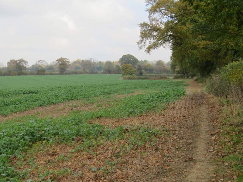
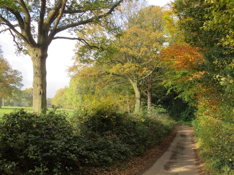
I followed the lane through the village, initially with the sports field on my left. Just after the tiny St Mary's church in a garden on the right, the lane ended but a bridleway went straight on, initially between hedgerows of tall trees. The bridleway then continued between a hedge and a fence on my right, the hedge soon giving way to a wood on my left. Soon after that wood ended I had a wood on my right, with flat stubble fields over the hedge that was now on my left. Shortly after reaching the end of this second wood, I reached the end of a roughly surfaced track. The bridleway followed the track a short distance to the hamlet of Ballinger Bottom, where the track became a lane (the OS map shows it as an 'other route with public access') that after a few hundred yards brought me into the village of The Lee, almost opposite the Cock and Rabbit pub. I turned right and went the short distance to the war memorial on the Green.
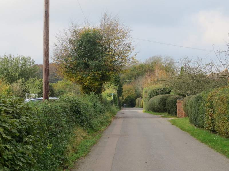
The lane at Ballinger Common
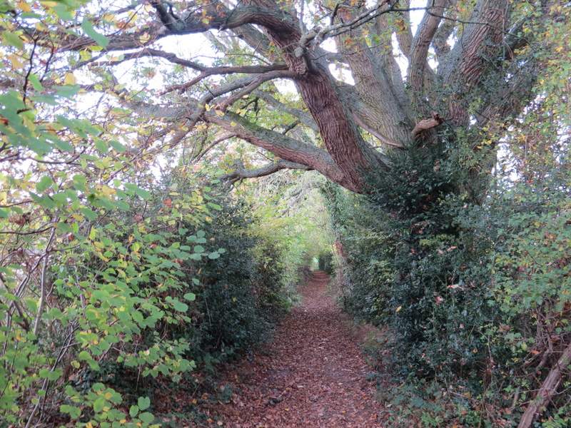
The bridleway from Ballinger Common to The Lee

The bridleway from Ballinger Common to The Lee
The bridleway from Ballinger Common to The Lee
The bridleway, leaving Ballinger Bottom
I turned left, and then just had to follow the lane through the attractive village for about a third of a mile, passing the Red Lion pub and the manor house, until I reached the village church and my parked car.
The bridleway between Ballinger Bottom and The Lee
Approaching The Lee

The end of the bridleway in The Lee

The war memorial and the green at The Lee
I enjoyed this walk more than than the other walks on the Chiltern Heritage Trail so far. The long road walk through Little Kingshill and the short stretch through Great Missenden weren't too exciting, but the rest of the route was very pleasant, with a nice mixture of woods and fields, a few more ups and downs than the other walks, and many pleasant rural views. Much of it was less familiar to me than some stretches of the other walks, in fact the short section from Prestwood to Great Missenden I'd only walked once before, when I did the Chiltern Heritage Trail in 2006. Walking through the fog early on was an unusual and enjoyable experience - I've seen wonderful 'cloud inversions' a few times when I've driven over Dunstable Dowms, where the Vale of Aylesbury was a sea of fog, but this was the closest I've come to seeing one actually in the Chilterns.