Pete's Walks - Chesham and Chesham Vale (page 1 of 3)
If you are considering walking this route yourself, please see my disclaimer. You may also like to see these notes about the maps and GPX files.
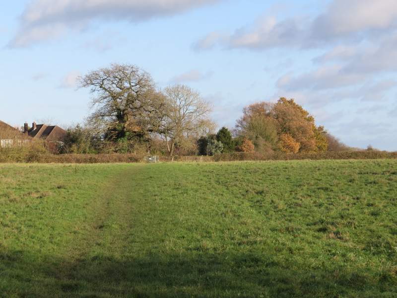
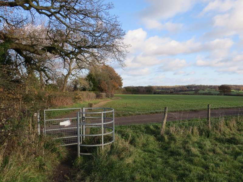
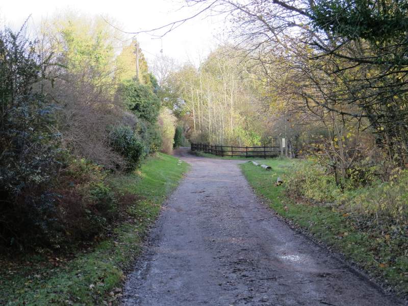
I did this walk of about 7 miles on Saturday, 25th November 2017. It was the seventh and last of the seven walks I will do along the Chiltern Heritage Trail. I started from the clock tower (grid reference SP 958014) in the Market Place at the southern end of the High Street in Chesham (it was about 12.35 when I started walking, having just walked the route in the opposite direction). I went the few yards to the main road through Chesham, turning left along it very briefly before turning left into East Street, where I immediately turned right into a street named Townfield. Where this bent right I went straight on up a flight of steps named Jacob’s Ladder after the biblical dream (there was a plaque at the start of the steps). At the top, I crossed a tarmac path and went over a railway bridge (Chesham Station was just to my left). The path went right but after a short way I turned sharply left, almost doubling back on myself. When the path drew level with the bridge again it turned right, climbing steeply through some trees to reach a stile. The path then continued uphill through a large arable field, where I had views to my left out over Chesham to the countryside beyond. The path then turned half-left through two metal kissing gates, following a hedgerow on my left with Dungrove Farm over to my right. In a corner the path went through another metal kissing-gate and turned right between hedges, then turned left to cross a large paddock and reach the drive to Dungrove Farm.
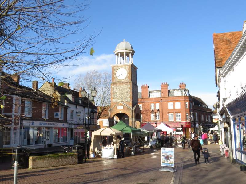
The Market Place and Clock Tower, Chesham
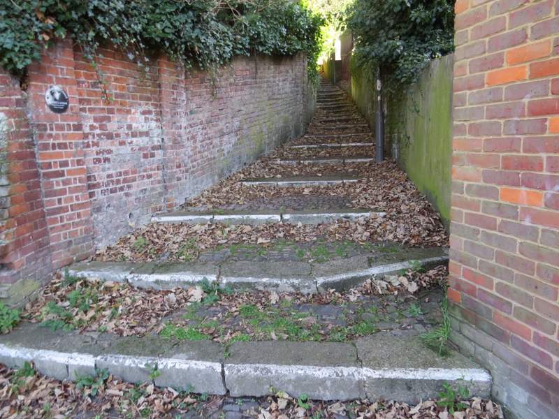
Jacob's Ladder, Chesham
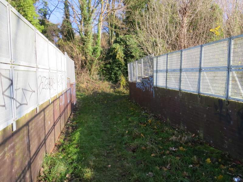
Footbridge across the railway, Chesham
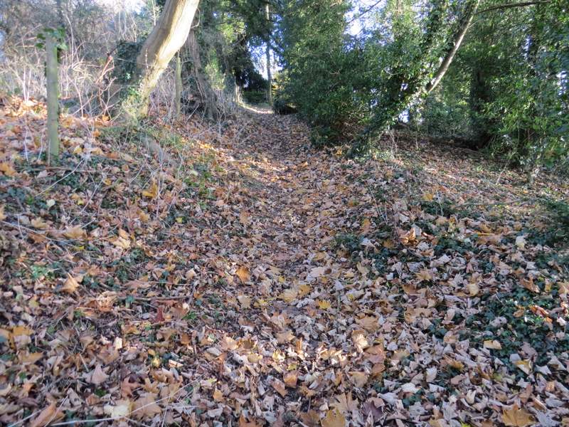
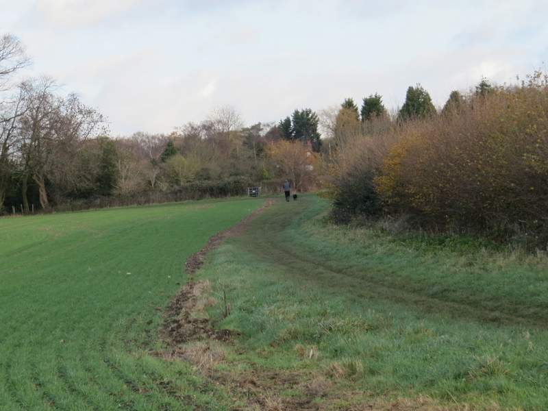
The path from Chesham to Dungrove Farm

The path from Chesham to Dungrove Farm
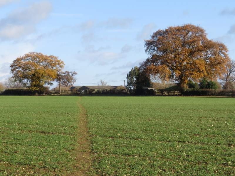
The path from Chesham to Dungrove Farm
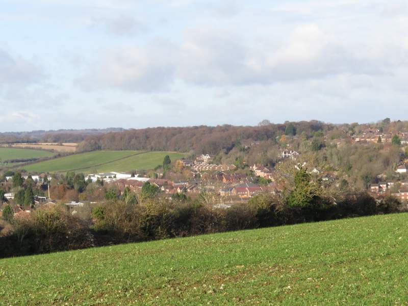
View over Chesham
The path from Chesham to Dungrove Farm, after going through two metal kissing-gates
The path near Dungrove Farm after turning right
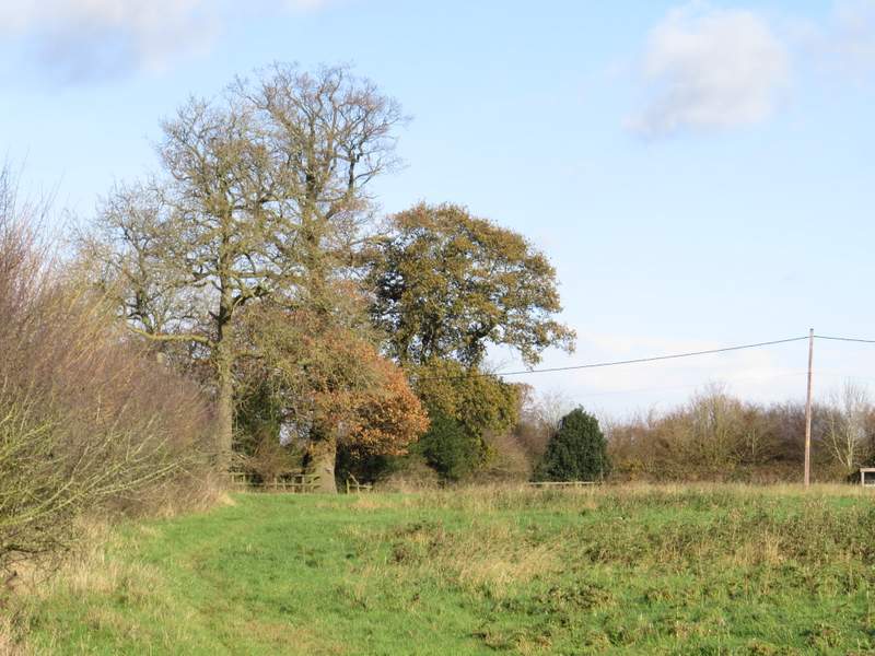
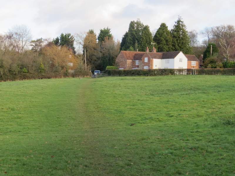
The path approaching the drive to Dungrove Farm
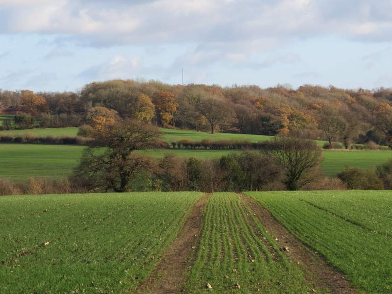
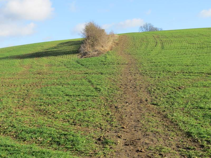
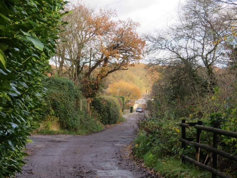
Across the drive the path followed the edge of a field, soon with the sports field of a school over the hedge on my left. Where a hedge came in from the right, tractor tracks showed where the path went slightly right across the next arable field. On reaching the far side I went a few yards right, then went through a hedge gap (there was a stile here) and followed a fence down into a valley. After crossing a track called Bottom Lane, the path rose steeply up the other side of the valley, levelling out as it approached a hedgerow. The path then turned left alongside the hedgerow to reach a stile, and then crossed a meadow to reach a lane near Tyler’s Hill. I went right here, soon passing a church on the left, then turned left along a track called Kiln Lane that ran for several hundred (rather muddy) yards through Cowcroft Road. On the far side I reached the village of Ley Hill, where I continued along Kiln Lane to reach a very complicated road junction.
The path crossing the drive to Dungrove Farm and continuing towards Bottom Lane
The path heading towards Bottom Lane
The path climbing uphill from Bottom Lane
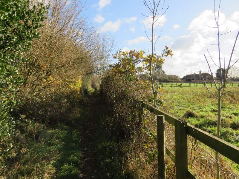
The path continuing towards Tyler's Hill
The path continuing towards Tyler's Hill
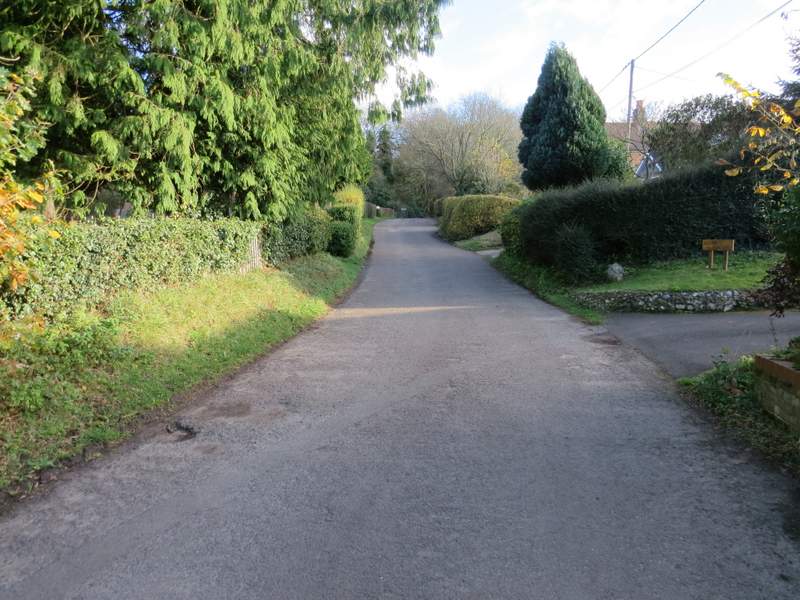
The lane to Tyler's Hill
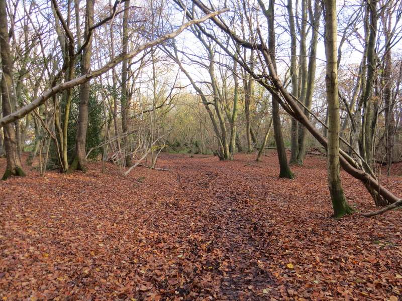
Kiln Lane running through Cowcroft Wood
Kiln Lane
Kiln Lane