Pete's Walks - Coombe Hill and Kingsash (page 1 of 6)
If you are considering walking this route yourself, please see my disclaimer. You may also like to see these notes about the maps and GPX files.
I did this walk of about 11.2 miles on Saturday, 2nd December, 2017. It was a repeat of a walk I did in September 2016 - I had first walked this route in November 2013, but starting at the now closed Cobblers Hill car park.
I parked at the Coombe Hill car park (Grid Reference SP 852063). I started walking about 10:20am, going through the gate by the entrance to the car park and taking the middle one of three paths. This crossed an area of grass and bushes, went through a small group of trees and then turned right along a broad swathe of grass to reach the Boer War memorial on the top of Coombe Hill. The views out to the Vale of Aylesbury were unsurprisingly disappointing because of the grey and mirky conditions (which, I should warn you, affected all my photos today). I then turned right and followed part of the Ridgeway national trail (NOT the surfaced path, which goes back to the car park). After three or four hundred yards this went through gates either side of a sunken bridleway, then continued between bushes and small trees either side. When the Ridgeway forked slightly left, I went straight on, passing through a gate after a few yards and then forking right. I continued along the grassy top of Bacombe Hill until, just after a short descent, I almost reached a tumulus (ancient burial mound).
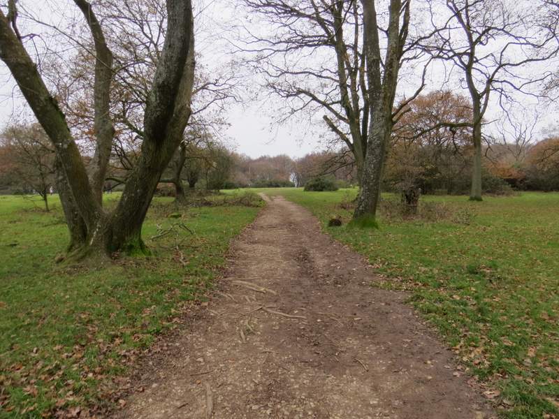
The start of the path from the car park on Coombe Hill
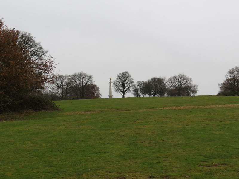
The path approaching the monument on Coombe Hill
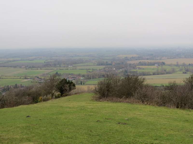
Rather grey view over the Vale of Aylesbury from Coombe Hill
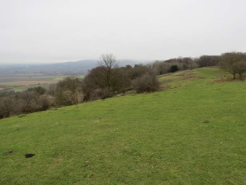
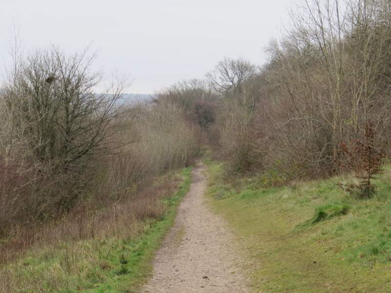
The Ridgeway on Coombe Hill
The Ridgeway between Coombe Hill and Bacombe Hill
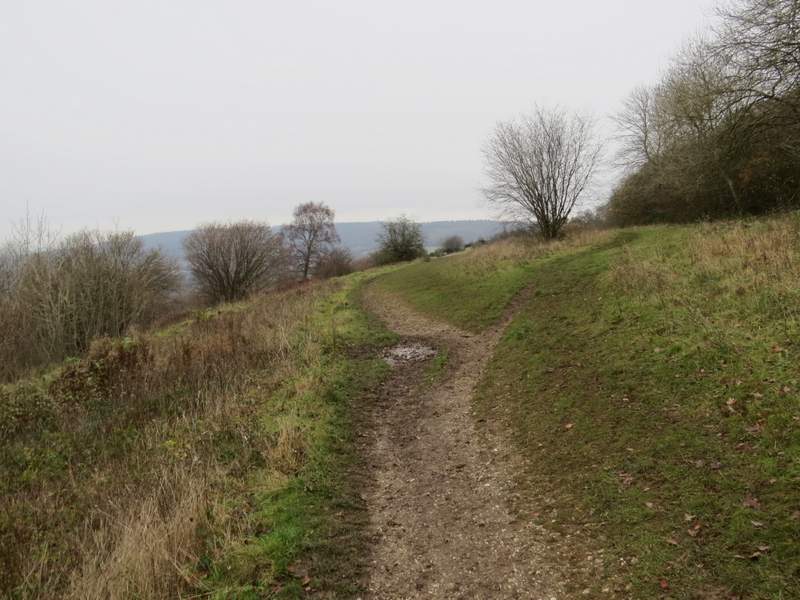
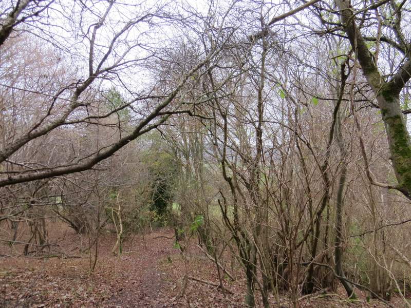
Having just left the Ridgeway, I was about to fork right here
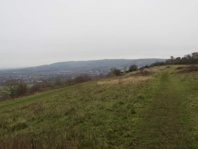
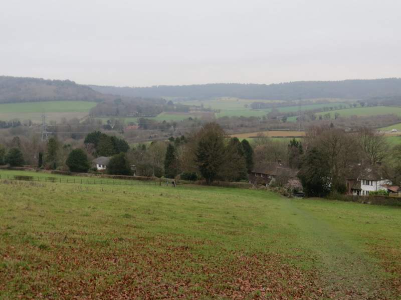
The path on Bacombe Hill, with Wendover and Wendover Woods in the background
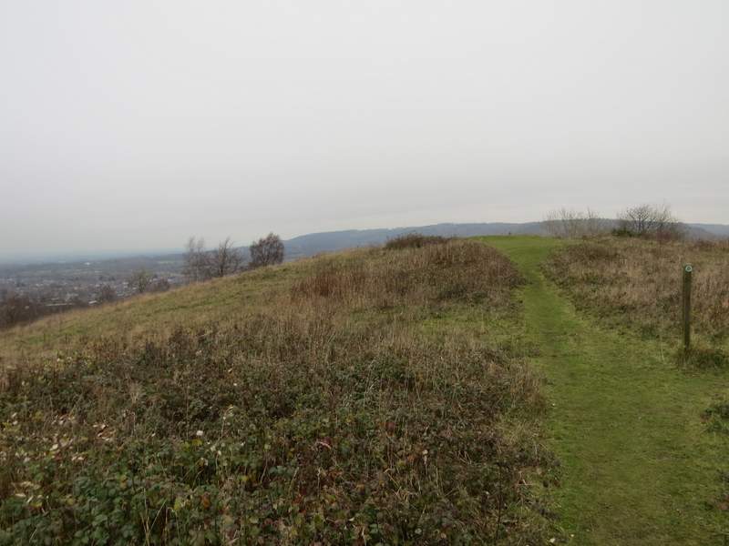
Approaching the tumulus on Bacombe Hill (I mistakenly went right at the waymark post, instead of right at the tumulus)
I should have turned right from the tumulus, but mistakenly turned right at a waymark post just before it. It didn't really matter, because the two paths soon came together in the bushes and trees just downhill from the tumulus, where I went right and droppped down to a bridleway. Across this I went over a stile, and continued downhill across a large paddock to reach Bacombe Lane. I turned left and followed the lane about a third of a mile to reach a road on the edge of Wendover.
The path descending from the tumulus
The path through the paddock, descending to Bacombe Lane
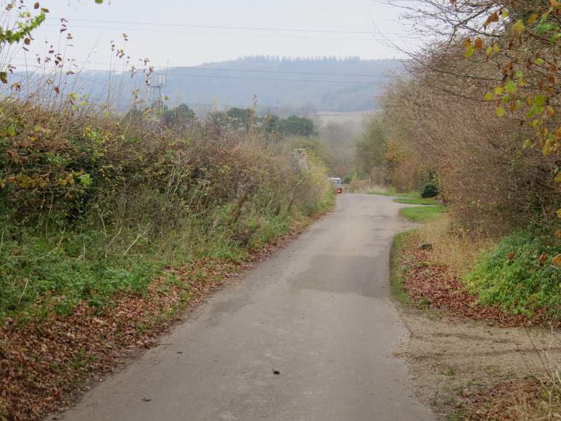
Bacombe Lane
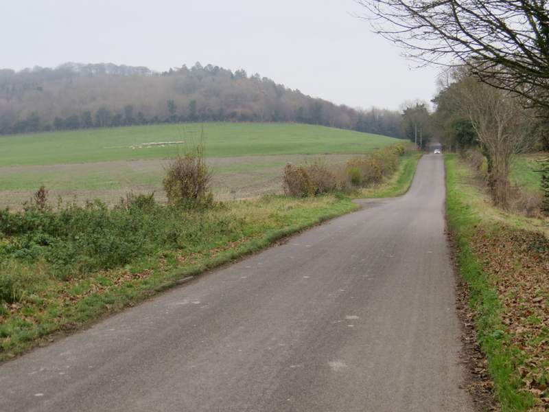
I crossed the road, went a few yards right and turned down Chapel Lane. When I reached a sign for the Ridgeway, I turned right along a path beside a stream on my left. After a hundred yards or so, I turned left over a footbridge, this path continuing on some way between garden fences. On reaching a street, I turned right and then turned left into Hale Lane. This left Wendover and gradually headed uphill towards Boddington Hill and Wendover Woods.
Chapel lane, Wendover
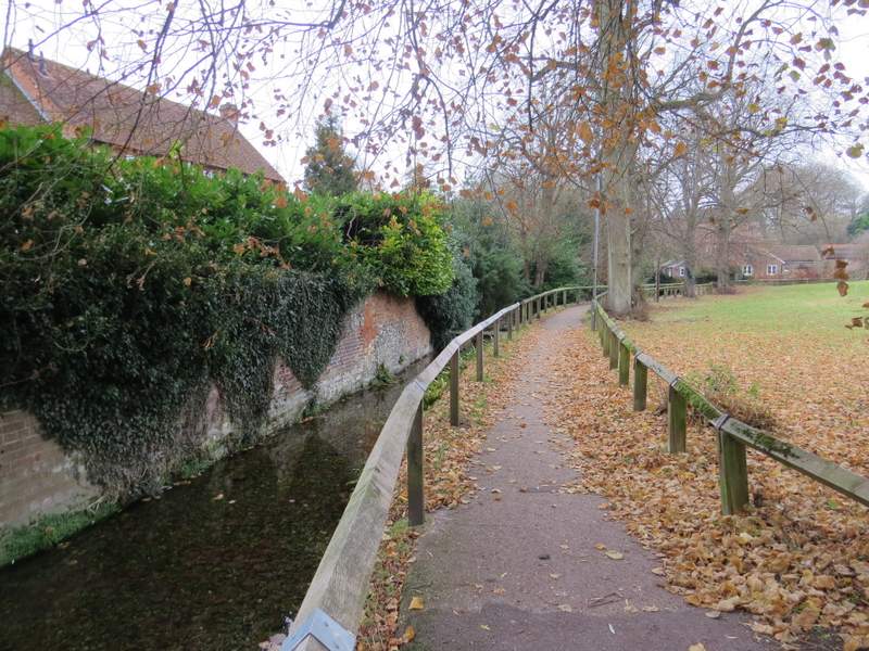
The path beside the stream, Wendover
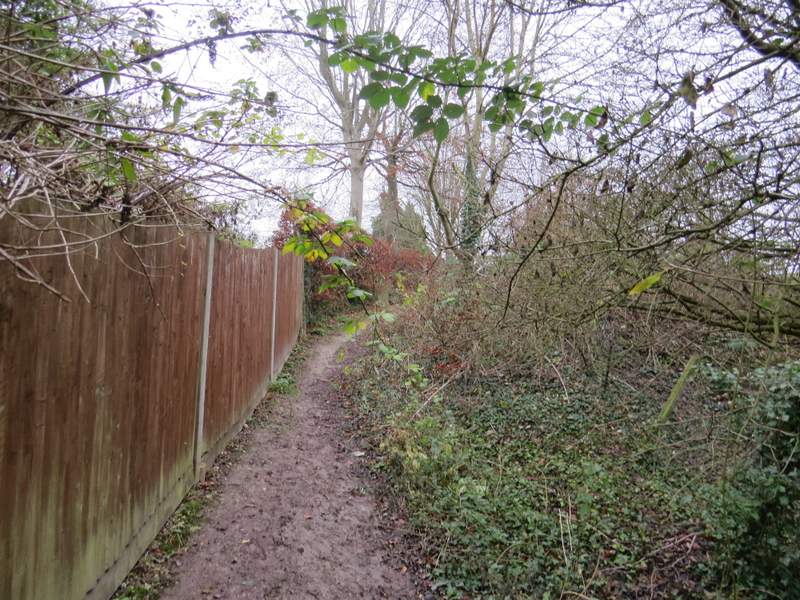
The path between the fences, Wendover
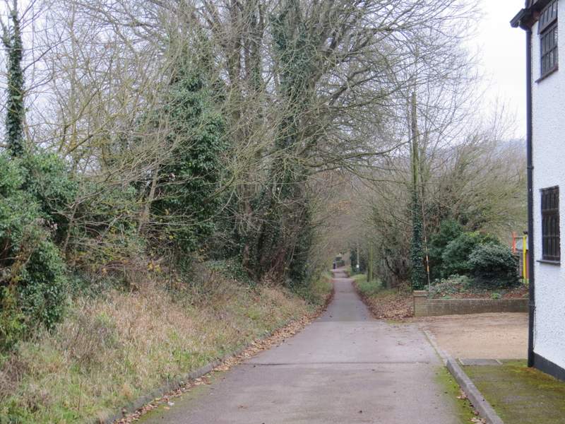
Hale Lane