Pete's Walks - West Wycombe, Horsleys Green, Fingest (page 2 of 6)
If you are considering walking this route yourself, please see my disclaimer. You may also like to see these notes about the maps and GPX files.
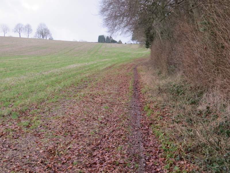
I followed the road for about a third of a mile, passing a pond on my right at one point. I then took a footpath on the left (just after an electronic sign to tell motorists how fast they're going), which followed the edge of the village's tennis and cricket club. The path continued past some sort of yard and then a paddock to my left, before dropping very steeply down a flight of 'steps' through a wood (rather painful for my doddery knees). I then crossed Bottom Lane and continued along a path on the other side, which followed a hedge on my right a little further down to the bottom of the valley. After passing through the end of a narrow wood, the path started up the other side of the valley, soon with another wood on my right. At the top of the slope I reached a minor road in part of Radnage called The City.
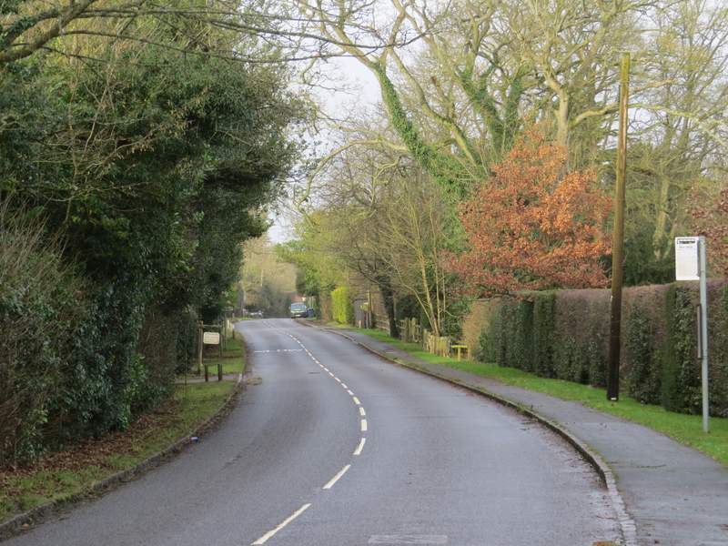
The road through Bledlow Ridge
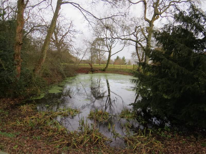
Pond in Bledlow Ridge
Near the start of the path from Bledlow Ridge, passing the cricket and tennis club
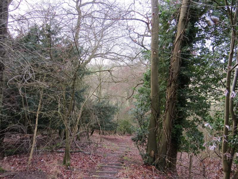
The steep flight of steps descending Bledlow Ridge
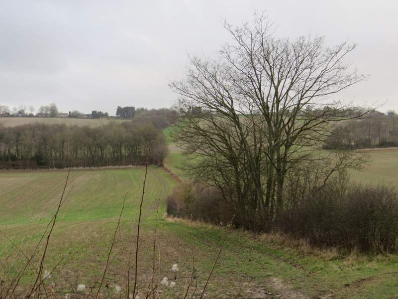
The path continuing towards 'The City', Radnage, from Bottom Lane
The path continuing uphill towards 'The City', Radnage
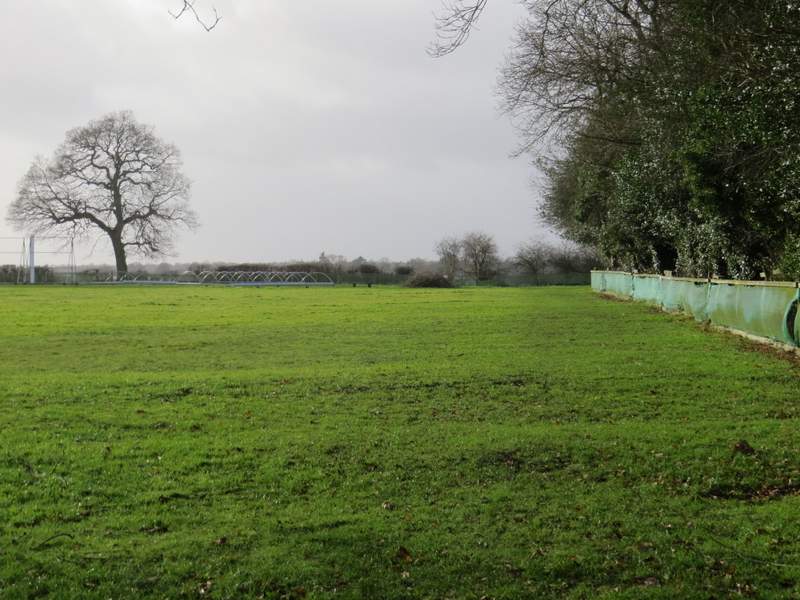
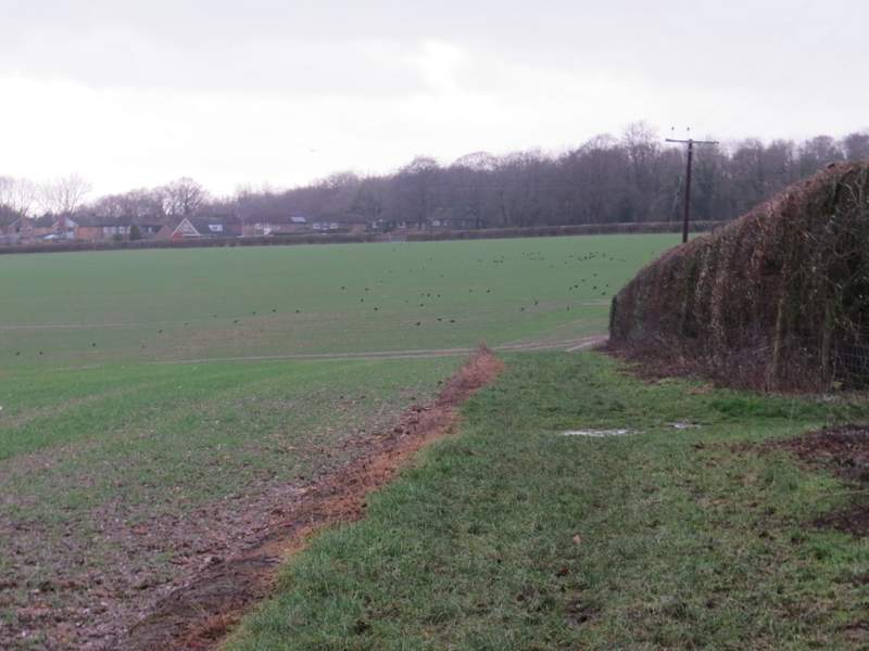
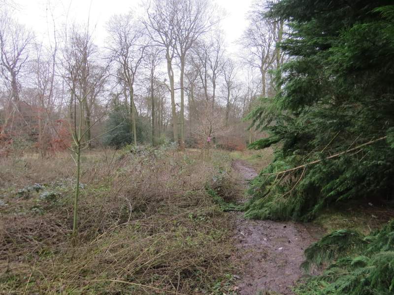
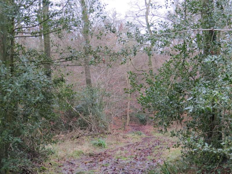
I turned left, then went right down a side street (with a white-painted former chapel on the corner). After a while the street dropped downhill and came to an end in the bottom of a small valley. Here I turned left along a very muddy bridleway - I was kicking myself now, because I'd remembered earlier in the walk how bad this can be, if I'd remembered sooner I might have chosen a different route for today's walk. It wasn't too bad, and was only a few hundred yards long anyway (and at least I didn't slip and grab the electrified fence on the left, as I did once before in similar conditions!). Over a stile, I went straight on through the western end of Bottom Wood, and then went steeply uphill through an empty pasture, following a hedgerow on my right. I continued beside the hedge past a large arable field, with a nice view to my left, and then crossed a paddock to reach the A40 on the edge of Studley Green.
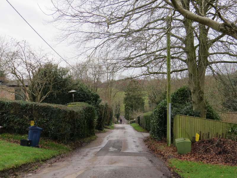
Street through 'The City', Radnage
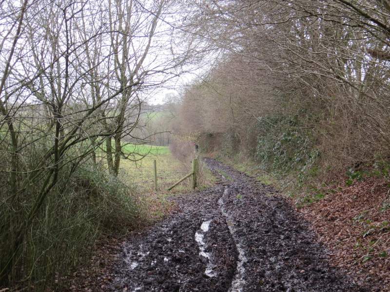
The start of the very muddy bridleway from 'The City', Radnage, to Bottom Wood
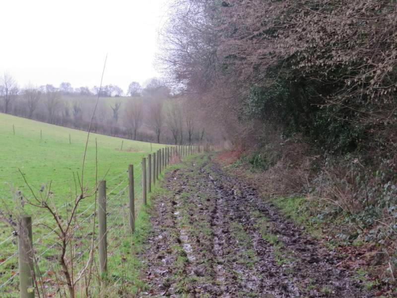
The muddy bridleway to Bottom Wood
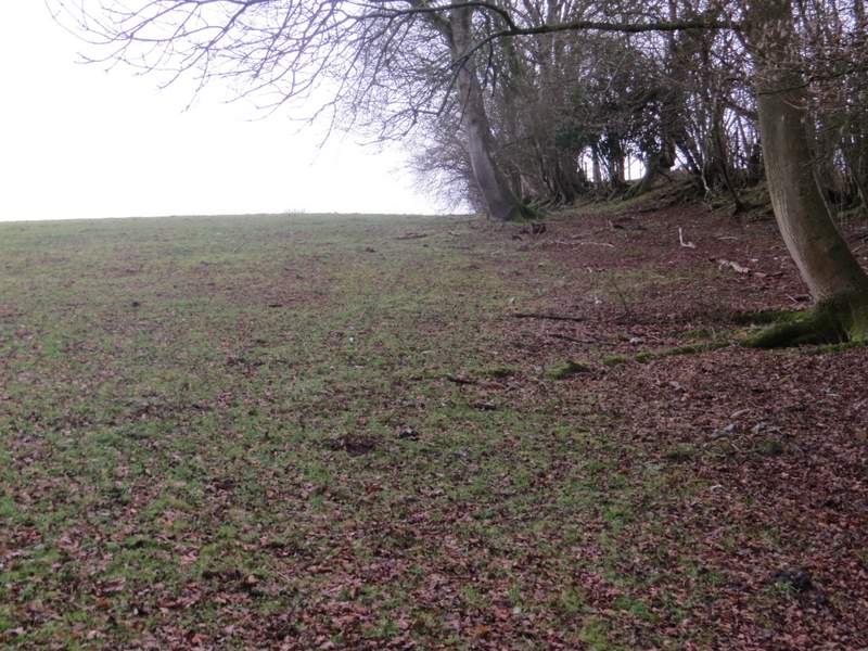
Near the start of the path from Bottom Wood to Studley Green
The path from Bottom Wood to Studley Green
View left from the path from Bottom Wood to Studley Green
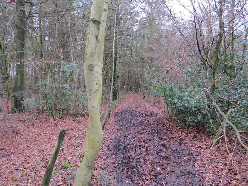
I went a few yards right, then took a bridleway on the other side of the road. A short way into Thirds Wood, it turned right (a path continued straight on), continuing through the wood but soon with properties in Studley Green close by on my right. After a few hundred yards a path crossed the bridleway, and I turned left.
The start of the bridleway through Thirds Wood
The bridleway through Thirds Wood (after it went right)
The bridleway through Thirds Wood
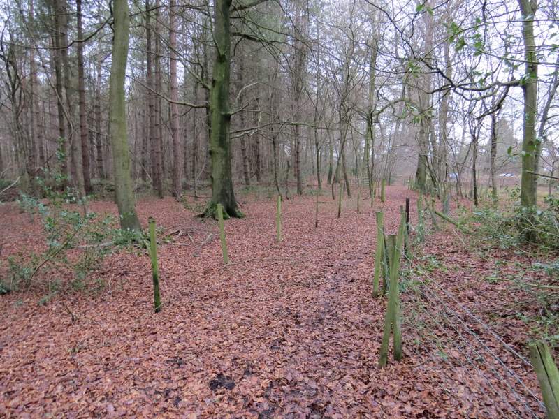
The bridleway through Thirds Wood