Pete's Walks - West Wycombe and Moorend Common (page 1 of 6)
If you are considering walking this route yourself, please see my disclaimer. You may also like to see these notes about the maps and GPX files.
Google map of the walkDownload GPX file of the walk
PLEASE NOTE: The very large car park in West Wycombe used to be free. When I came here on 15th January 2022 I found it is now a pay and display car park, only free if you stay less than one hour and costing £4 if you stay more than 2 hours. I think you have to pay by credit card, I don't think the machine takes cash.
I did this circular walk of about 11 miles on Saturday, 13th January 2018. It was a repeat of a walk I did in June 2017, but in the opposite (anti-clockwise) direction. There were four sections where I was walking the paths for the first time in this direction.
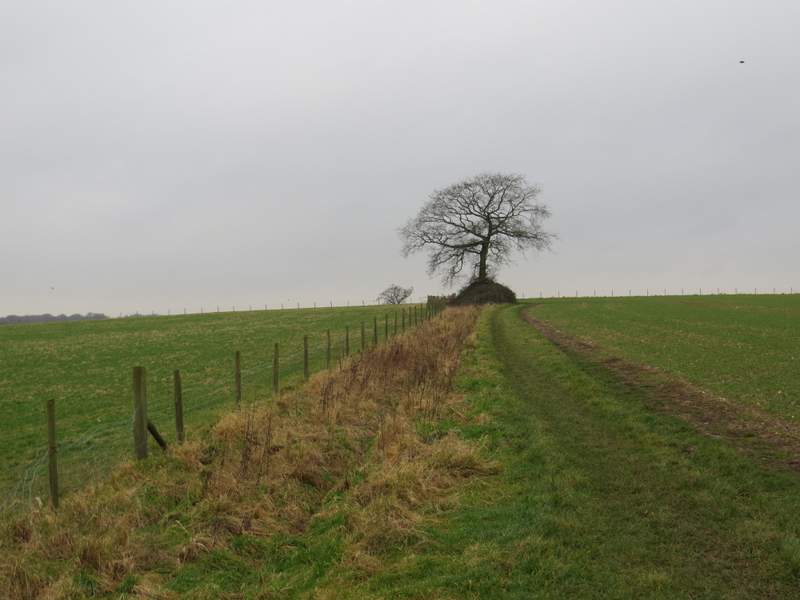
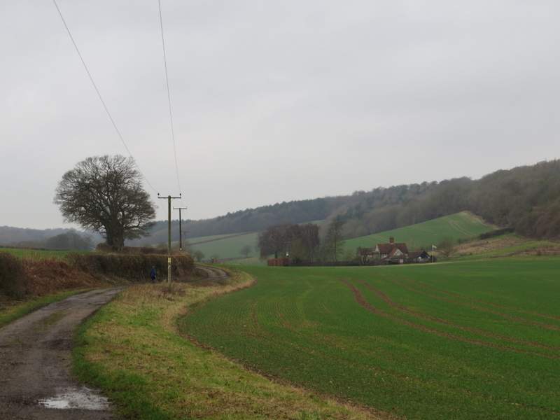
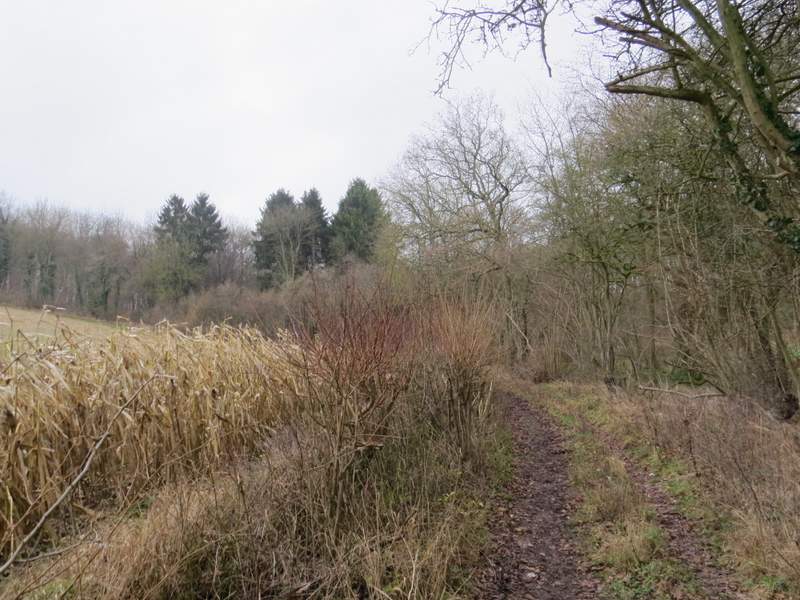
I parked in the car park in West Wycombe (grid reference SU 826947) - it's now named the Hell Fire Caves car park, I think it used to be called the 'village' car park. I started walking about 10.00am, turning right from the car park entrance and then turning right again to follow the A40 out of West Wycombe. Just before some white barriers on either side of the road, I took a footpath going half-right, rising steadily uphill across two arable fields - a couple of Red Kites flew quite close to me here. Beyond the second field the path more or less levelled off as it followed a broad band of grass to reach an entrance into Great Cockshoots Wood. The path then continued through the wood for about a third of a mile.
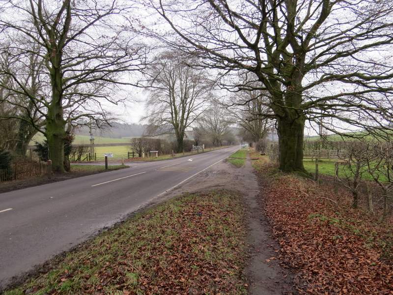
The A40 heading out of West Wycombe (I took a path on the right by the white barriers)
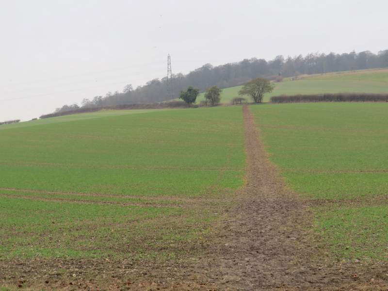
The path uphill to Great Cockshoots Wood
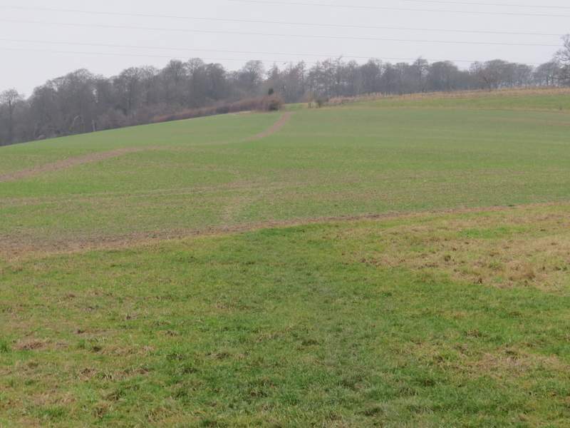
The path uphill to Great Cockshoots Wood
The path uphill to Great Cockshoots Wood
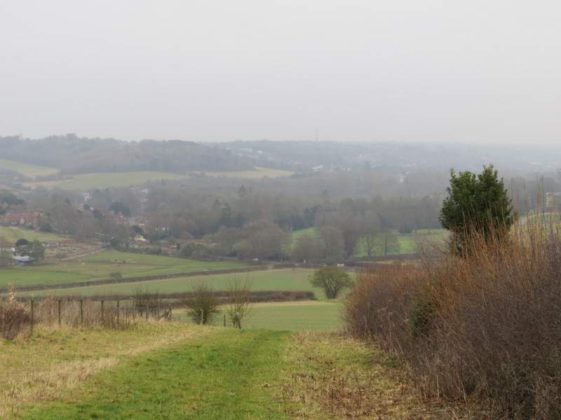
Looking back to West Wycombe
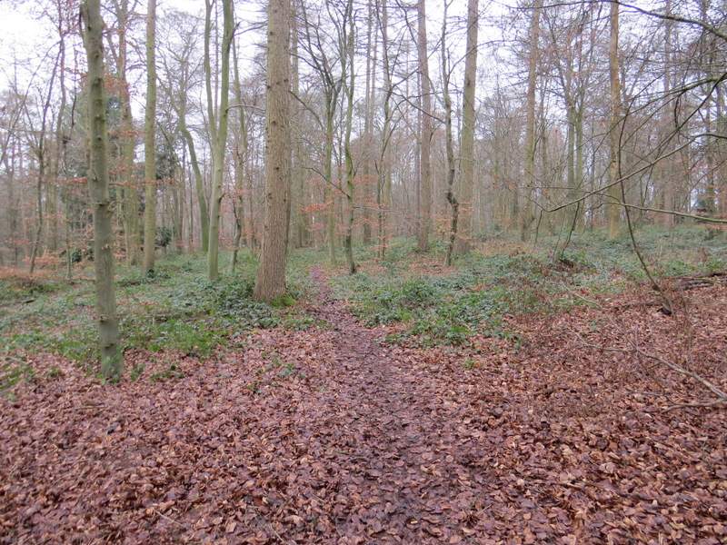
Great Cockshoots Wood
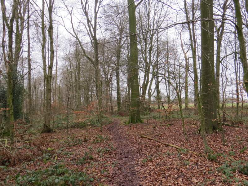
Great Cockshoots Wood
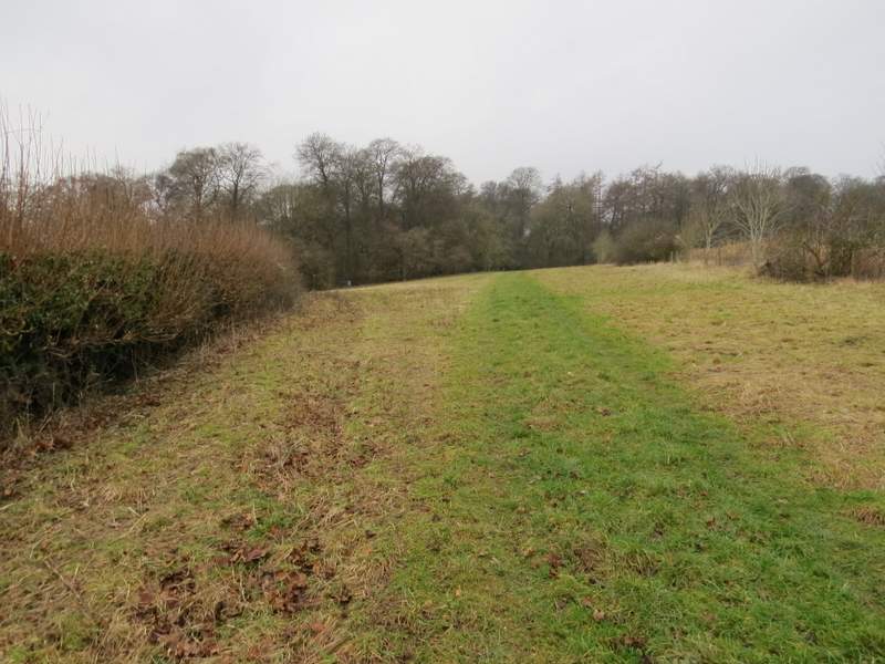
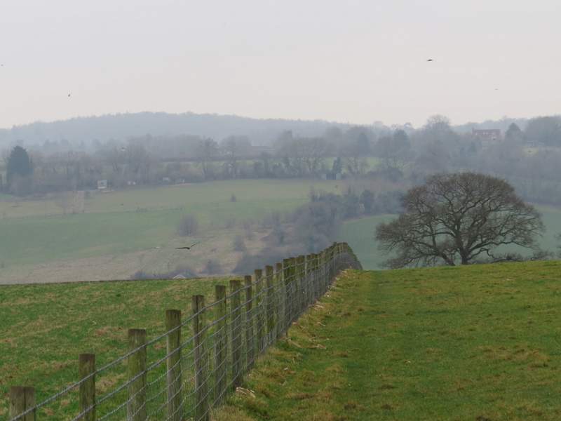
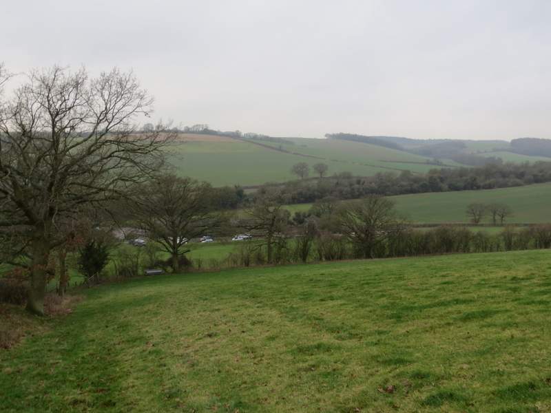
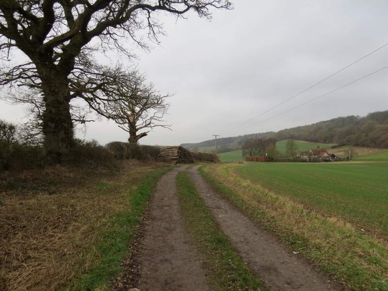
On the far side of the wood I turned right along a bridleway, but only for a short distance before turning left (west) along a footpath that started between hedgerows. On emerging from the hedges the path continued beside a fence on the left. On reaching a field corner I went through a gate and turned left alongside another fence, with a huge pasture to my right. I was soon dropping downhill, with nice views of the valley in front of me. In the corner of the pasture I went over a stile and crossed a small corner of another pasture, then went over a second stile and continued downhill along the left edge of a third pasture. I then crossed a track and went over a third stile, before following a fence on my right to reach Ham Farm.
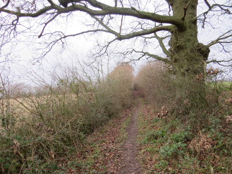
The footpath going west from Great Cockshoots Wood
The footpath going west from Great Cockshoots Wood (I turned left along the fence on the skyline)
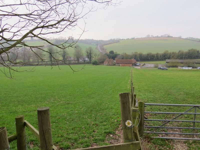
The path down to Ham Farm
The path down to Ham Farm
The path down to Ham Farm
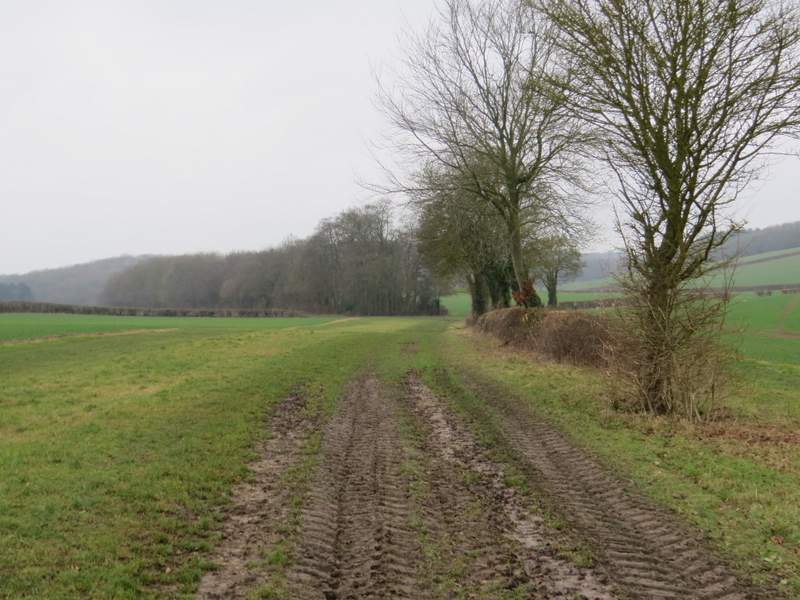
I went straight on through the farmyard, and turned left along a track to reach the A40 again, near Piddington. I carefully crossed over and went down the road opposite a short way, before turning right along a bridleway. This ran for several hundred yards along a track beside a hedgerow on my left. Beyond Fillingdon Farm (on my right) I followed the edge of a field with a tall hedgerow on my right. On reaching a path junction by the field corner, I turned left along a path through a tree belt. After a while the path ran between the tree belt and a hedge on my left.
The bridleway to Fillingdon Farm
The bridleway to Fillingdon Farm
The bridleway continuing from Fillingdon Farm
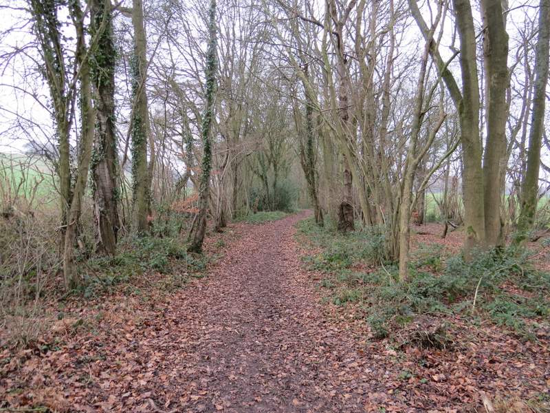
The footpath through the tree belt
The footpath continuing beside the tree belt