Pete's Walks - Hambleden, Medmenham, Colstrope, Fawley (page 2 of 6)
If you are considering walking this route yourself, please see my disclaimer. You may also like to see these notes about the maps and GPX files.
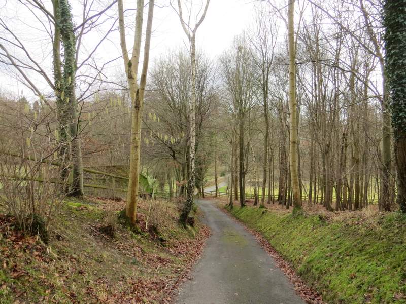
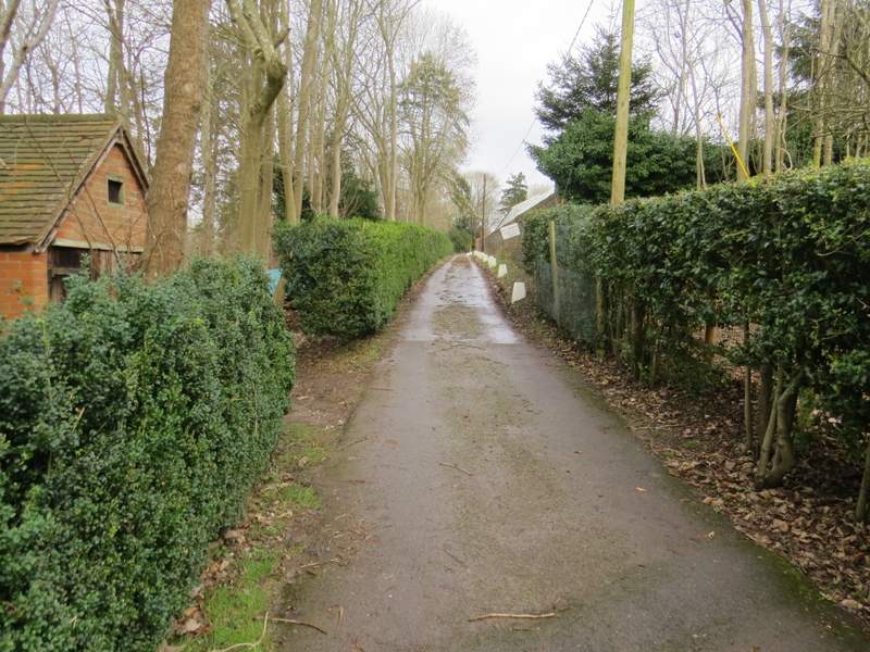
After two or three hundred yards a fingerpost indicated where the track or drive became a bridleway. I continued along the drive, which after a while entered some woodland. A white arrow on a tree on the right, just before the drive reached some large metal gates, then indicated where the bridleway forked left and soon followed a wall on the right. After a short distance the bridleway passed in front of a house on the left, continuing straight on down its drive.
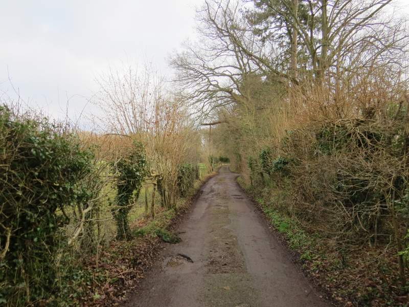
The bridleway continuing along the drive
The bridleway continuing along the drive
The bridleway continuing along the drive
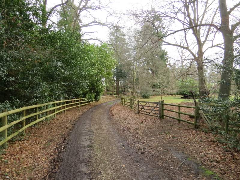
The bridleway after it goes half-left from the drive
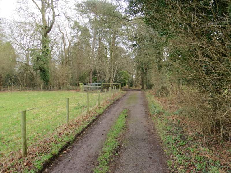
The bridleway after joining a second drive
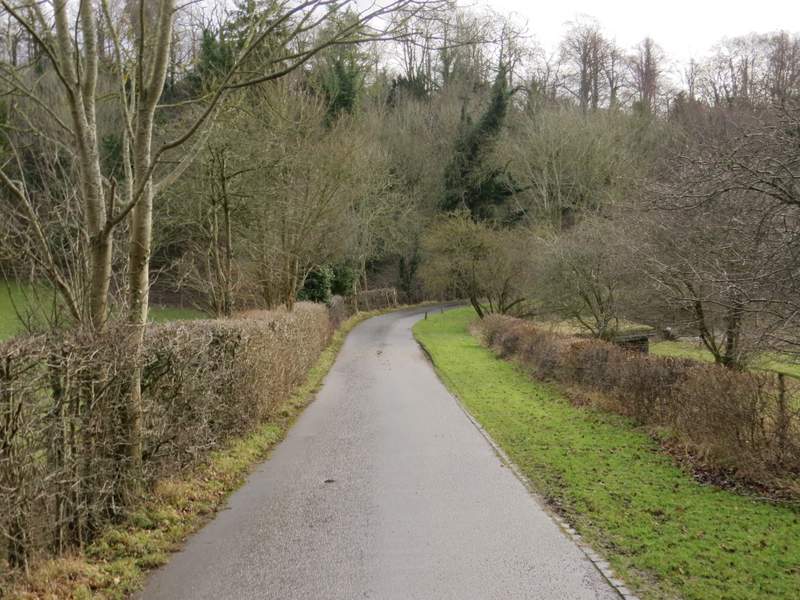
The bridleway after joining a second drive
Looking right from the second drive
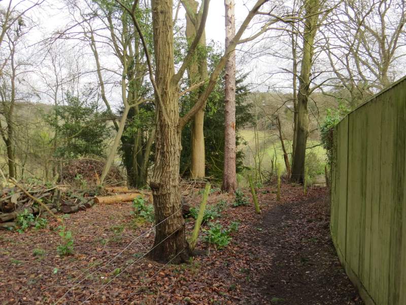
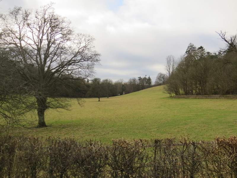
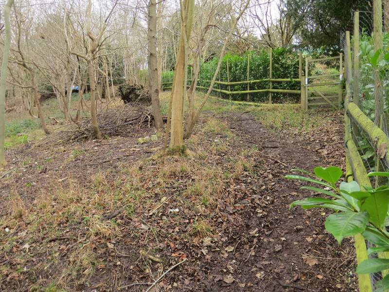
Shortly after the drive turned right, I took a footpath going very sharply left, almost doubling back on myself. This ran along the bottom of some woodland that sloped up to my right (I had a close sighting of a Buzzard here), and soon there was a large green field just to my left. Close to the far end of that field I came to a path junction where I turned right and went a short way uphill to reach a surfaced drive where I turned left. I followed the drive a little way, until the footpath forked slightly left across some grass to enter Hog Wood
Near the start of the path going sharply left from the bridleway
Further along that path
Further along that path
The short path going right and uphill
The drive at the top of the hill
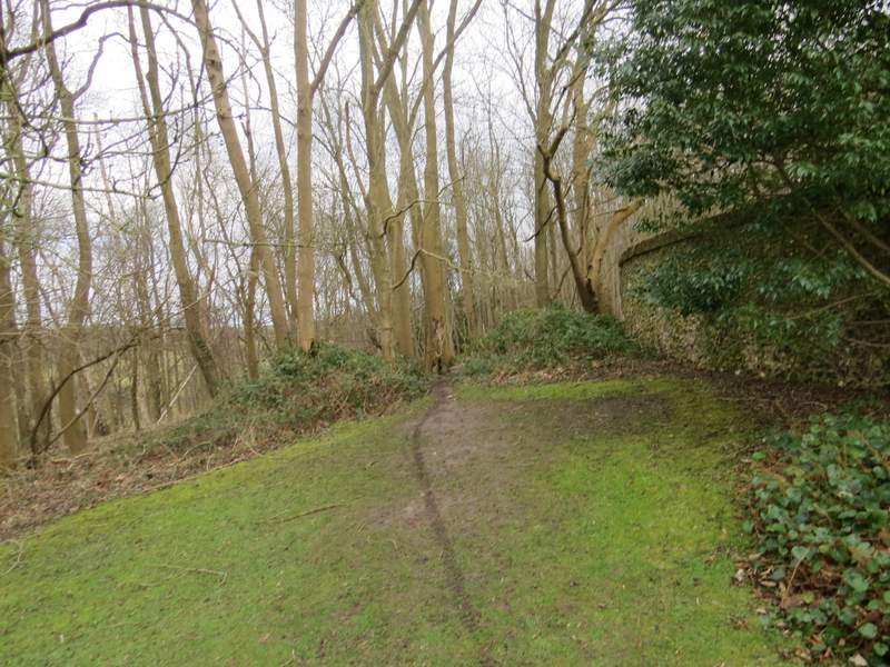
Where the footpath forks left from the drive
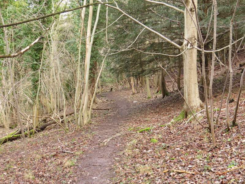
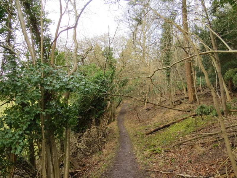
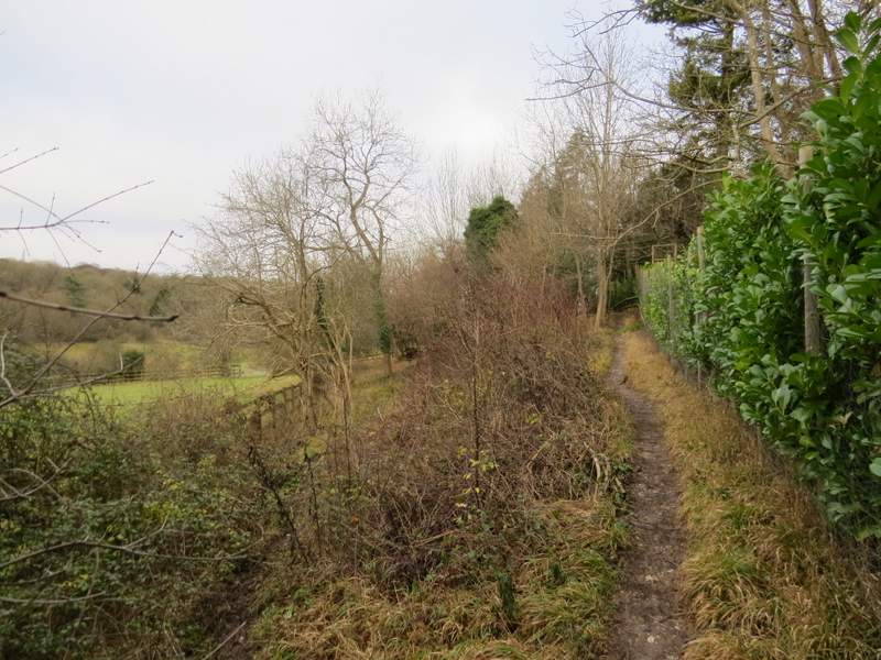
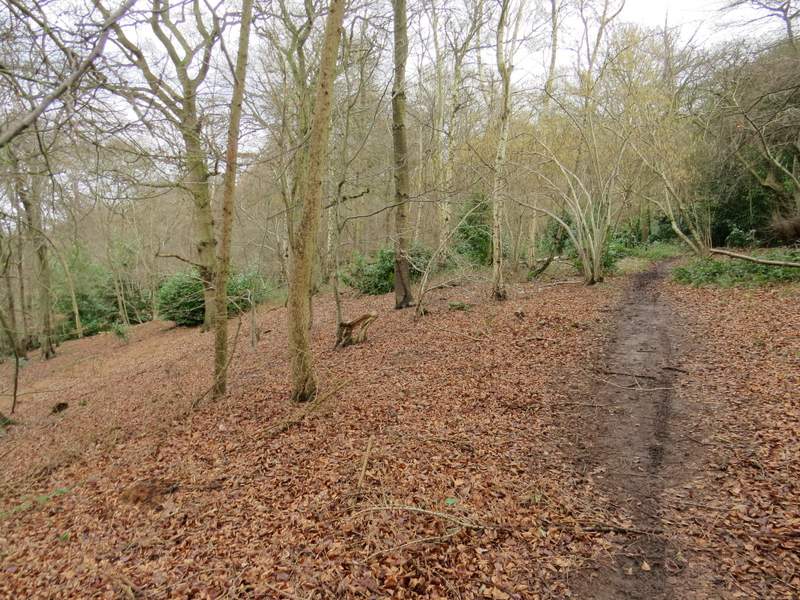
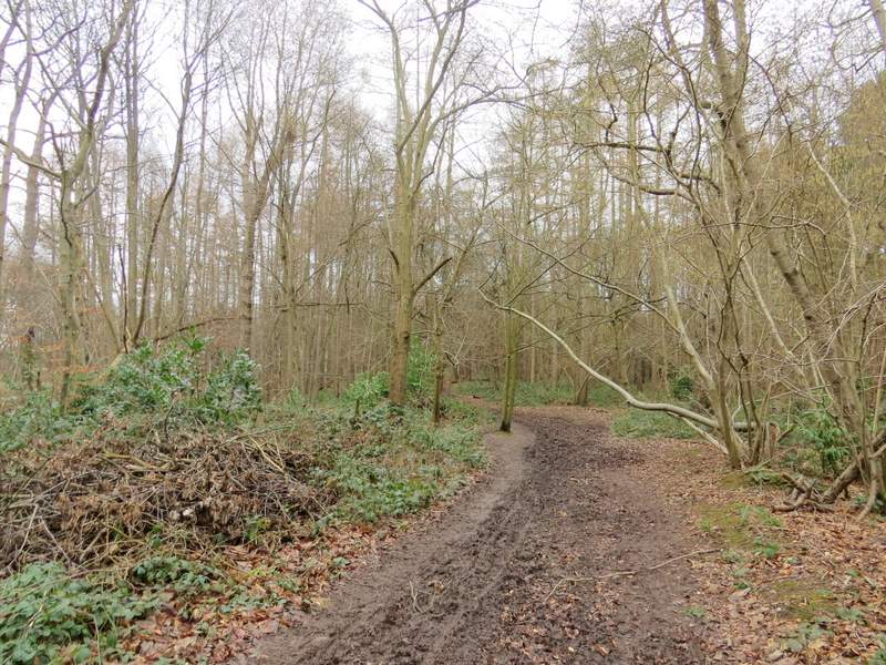
I followed the path through Hog Wood in a roughly northeasterly direction for about three-quarters of a mile, initially with some properties close by on my right. Navigation was straightforward, with occasional white arrows pointing the way - the only slight doubt was at a fork but it was fairly obvious that I kept left (more or less straight on) and there was soon a reassuring white arrow to confirm this was the right choice. The path bent left at one point, but again a white arrow made this clear. At some point I crossed the boundary between Hog Wood and Hollowhill Wood. Like most paths today, this one was pretty muddy in places but I still enjoyed this long section through the woods. Eventually the path seemed to merge with another one, bearing left to soon reach a lane junction (UPDATE 7/6/2023: I must have gone wrong near the end of the path and accidentally crossed over to the path to my right. I should have reached a lane and gone right a short way to reach the junction, where I should then have turned left).
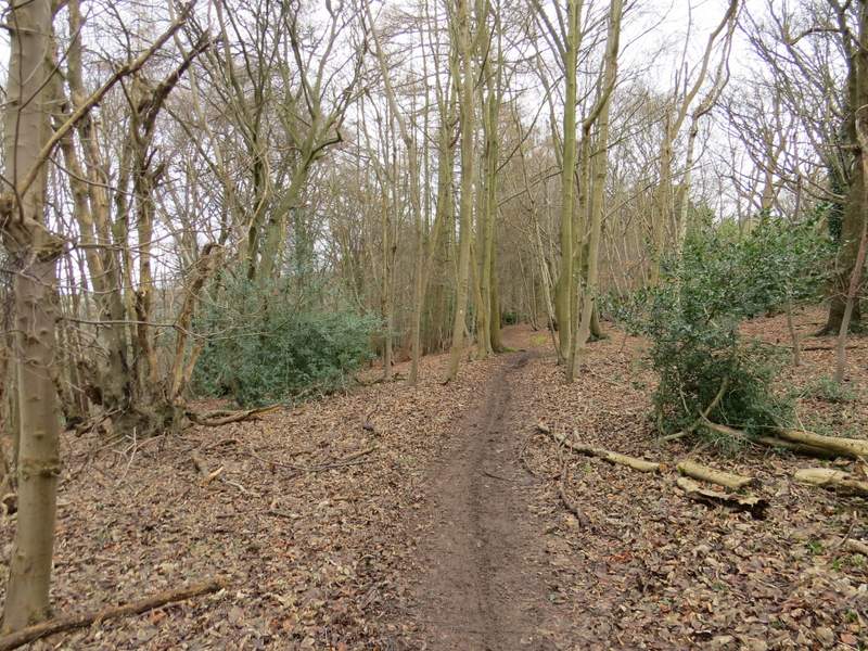
The path going northeast through Hog Wood
The path going northeast through Hog Wood
The path going northeast through Hog Wood
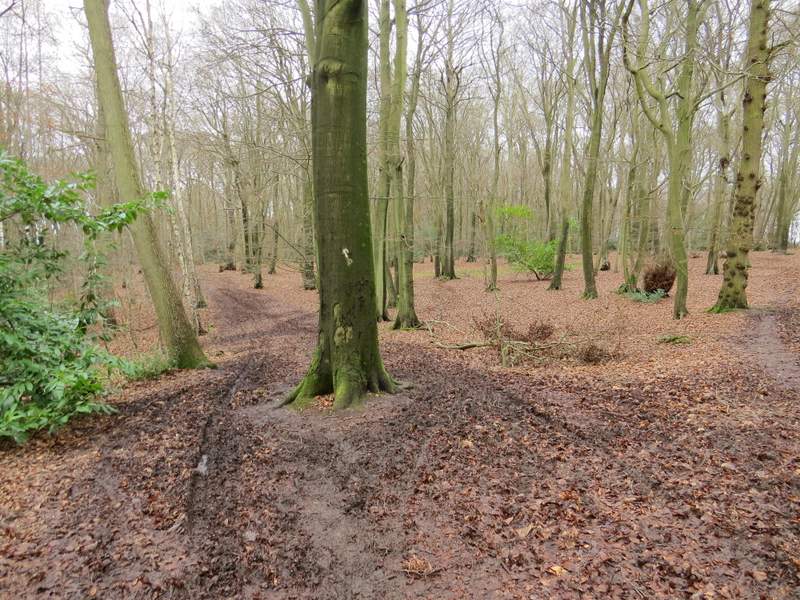
The path going northeast through Hog Wood
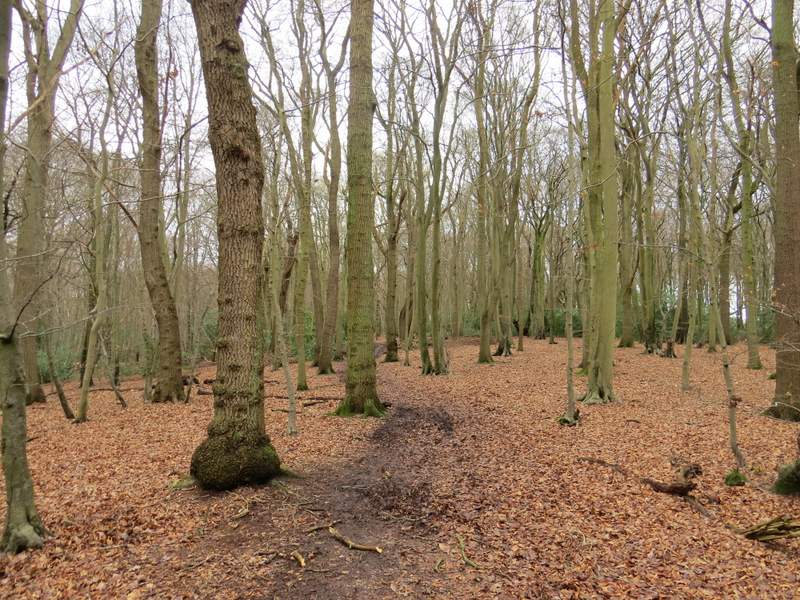
The same path, probably now in Hollowhill Wood
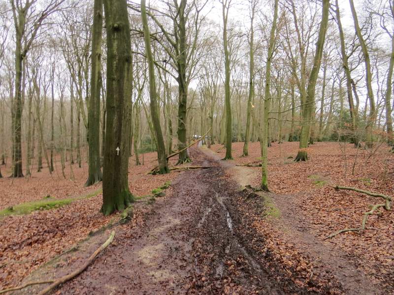
The path continuing through Hollowhill Wood, approaching the lane junction