Pete's Walks - Pitstone Hill and Wigginton (page 1 of 5)
If you are considering walking this route yourself, please see my disclaimer. You may also like to see these notes about the maps and GPX files.
I did this circular walk of about 11.6 miles on Sunday, 11th February 2018. It was a route I've walked many times before, in fact it is Walk 4 of my Chiltern Chain Walk, although today I walked it in the clockwise direction (mainly to get most of the ups and down over with early in the walk).
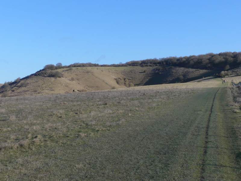
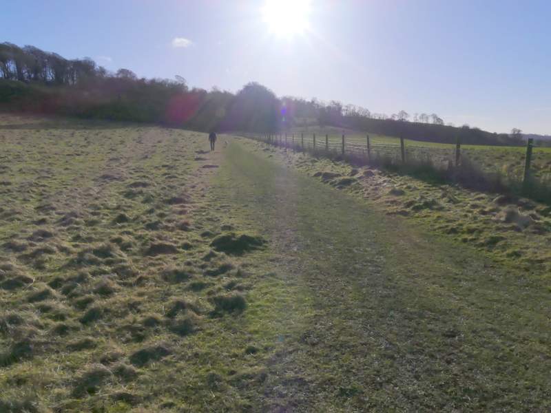
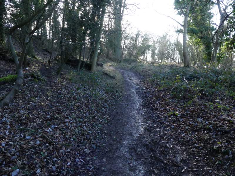
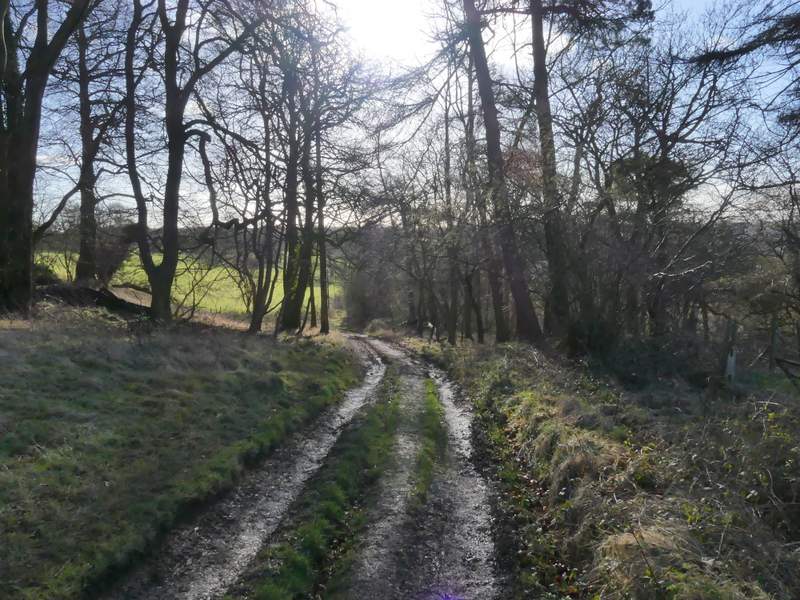
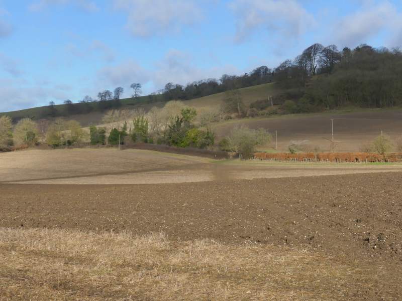
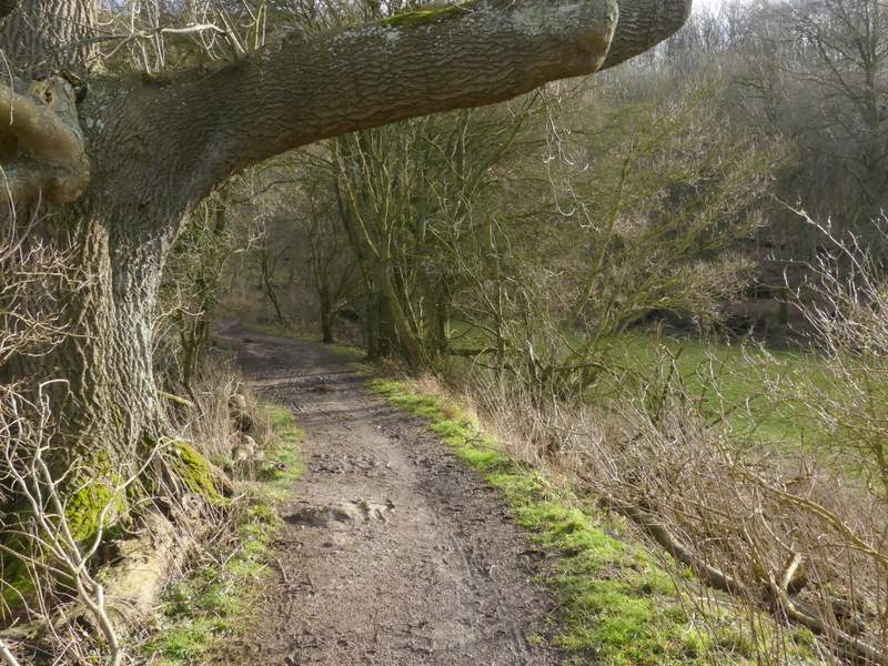
I parked in the car park for Pitstone Hill (grid reference SP 954148) and started walking about 9.40am, crossing the lane and following the Ridgeway national trail towards Steps Hill. When I reached a path crossroads near the foot of the hill, I turned right (leaving the Ridgeway) and followed a path alongside a fence on my right (not for the first time, I found I'd started my walk heading towards the sun and I really struggled to get any decent photos for the first part of this route). After a while the path started to rise gently uphill through an area of bushes. After going through a gate it continued up the now wooded hillside until it met a track (the main track between the Bridgewater Monument at Ashridge and Ivinghoe Beacon), where I turned right. After two or three hundred yards (just before reaching the kennels on Clipper Down) I forked right onto a track that dropped down a few yards through trees to a gate (this used to be a stile). Beyond the gate the footpath continued downhill along the edge of a large pasture. When the hedge on my right ended I emerged into a large open downland field, with a nice view ahead towards Aldbury and another to my right towards the woods of Aldbury Nowers. Near the bottom of the slope the path curved left to reach a gate in the field corner, a short track then bringing me to a surfaced drive, where I turned left towards Duncombe Farm.
The Ridgeway approaching Steps Hill
The path after I turned right at the foot of Steps Hill
The path continuing uphill
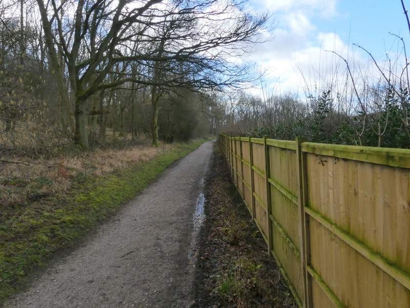
The start of the path descending Clipper Down
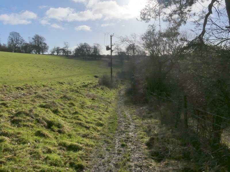
The path descending Clipper Down
The descending Clipper Down
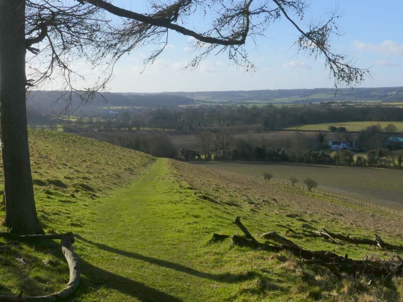
The end of the path descending Clipper Down
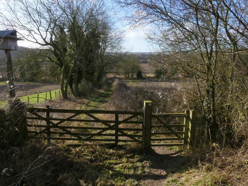
The drive to Duncombe Farm
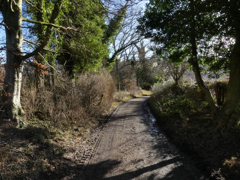
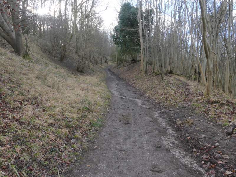
After a hundred yards or so a footpath crossed the drive, and I turned half-right to cross a ploughed field. Through a hedge gap on the far side the path turned half-right again to cross a smaller field, on the far side of which I turned left along a bridleway. This soon turned right and started heading uphill through part of Ashridge - I heard and then saw two or three Buzzards above the trees here. Near the top of the slope the bridleway went slightly right and levelled out (a path went straight on, towards the Bridgewater Monument at Ashridge). After following the boundary of a property in the woods named Tim's Spring, the bridleway crossed a drive and continued through the woods, with the Monument out of sight somewhere just a little uphill to my left.
Looking back after taking the path going half-right from the drive to Duncombe Farm
The bridleway after I turned left, passing the old Ash tree
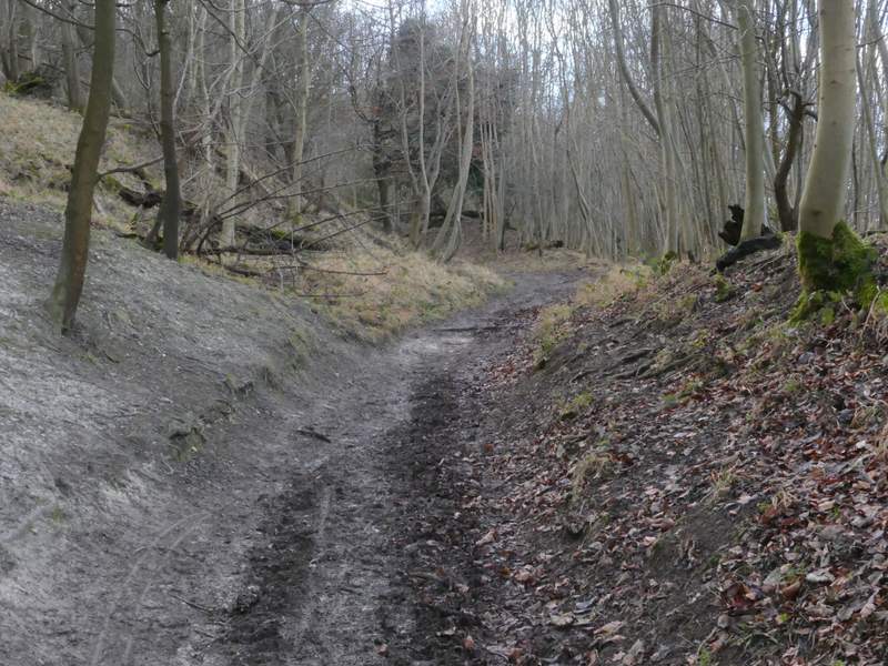
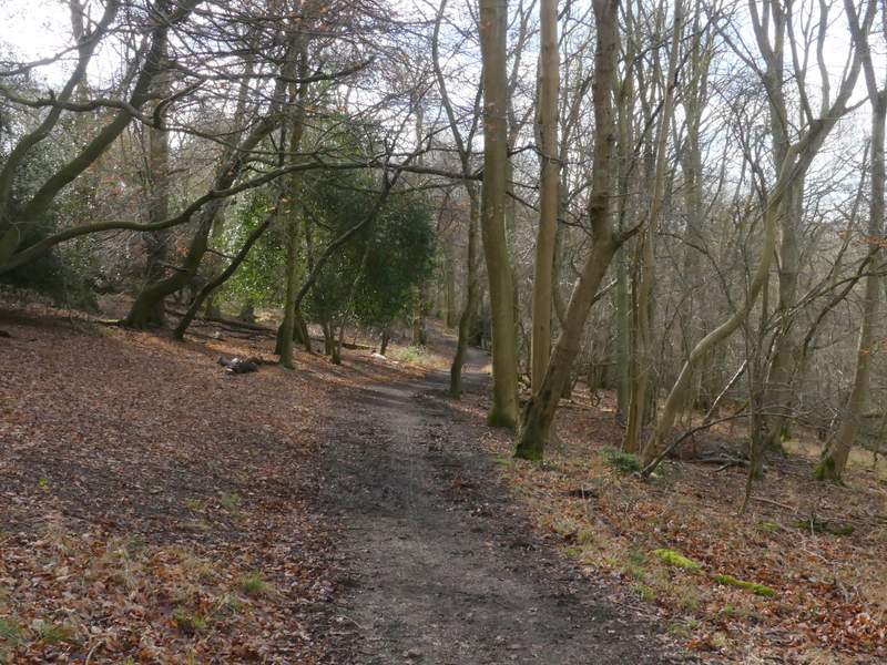
The bridleway continuing uphill into the woods of Ashridge
The bridleway continuing uphill into the woods of Ashridge
The bridleway after it levels off and passes a property called Tim's Spring
The bridleway continuing just below the Bridgewater Monument
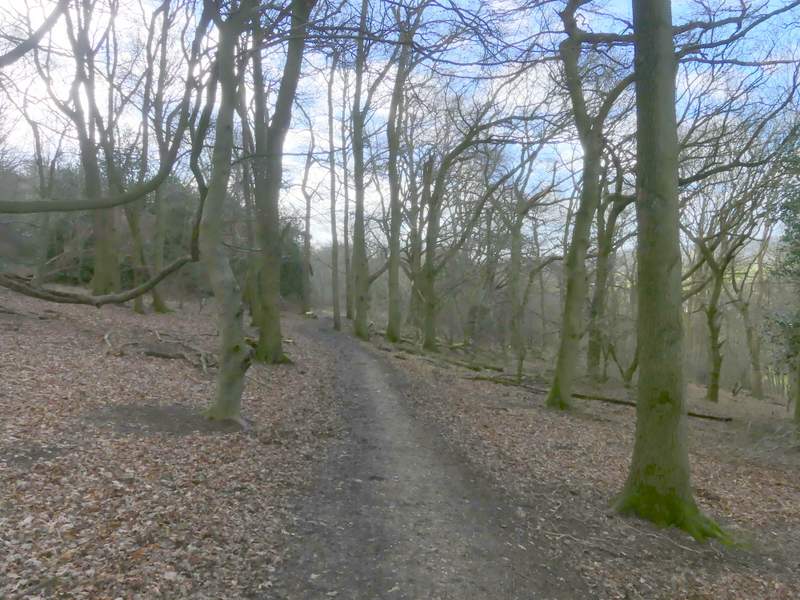
The bridleway continuing just below the Bridgewater Monument