Pete's Walks - Great Kimble and Bacombe Hill (page 1 of 4)
If you are considering walking this route yourself, please see my disclaimer. You may also like to see these notes about the maps and GPX files.
(I used Alternative 1 as shown on the map)
I did this circular walk of about 9.9 miles on Saturday, 21st April 2018. It was a repeat of a walk I did in September 2016.
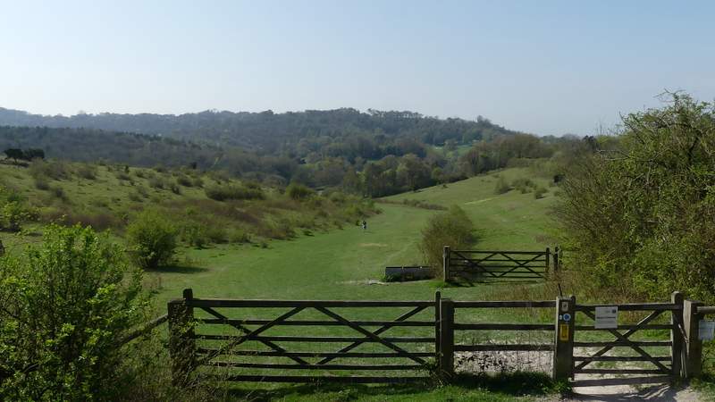
I parked in the layby at Great Kimble (Grid Reference SP 825058) - the layby is just south of the church, on the other side of the road. I started walking about 10.45am, taking the bridleway that starts by the end of the layby nearest the church. This followed a track steadily uphill, soon running with tall hedges either side. I went straight on where a path forked left (that would be the way I came back) and again where another path forked right. After about half a mile I turned right at a wooden finger-post where a white acorn indicated that I was joining the route of the Ridgeway national trail. The path went up and down a few steps to reach a gate, beyond which the Ridgeway continued for some distance past the foot of the wooded Pulpit Hill, with views to my right out over the Vale of Aylesbury. The Ridgeway then crossed a track and went through a gate, to continue slightly downhill through the Grangelands nature reserve. After a few hundred yards the Ridgeway turned right through a gate, and soon came to a minor road, where I turned left for a few yards before forking right to reach The Plough at Cadsdean.
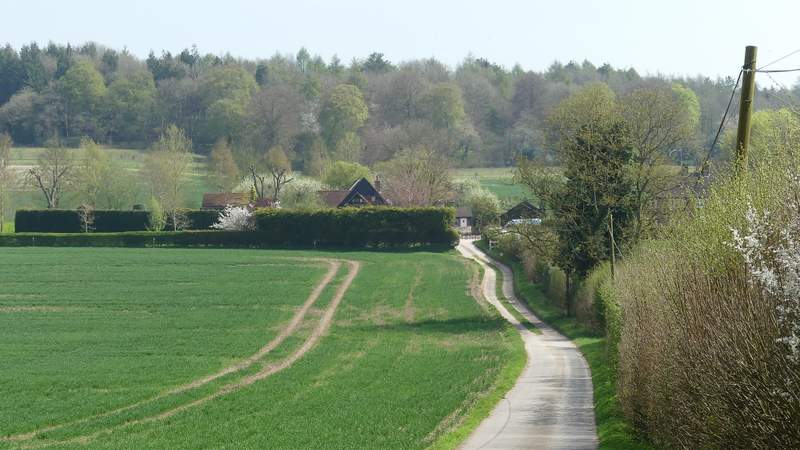
Near the start of the bridleway from Great Kimble
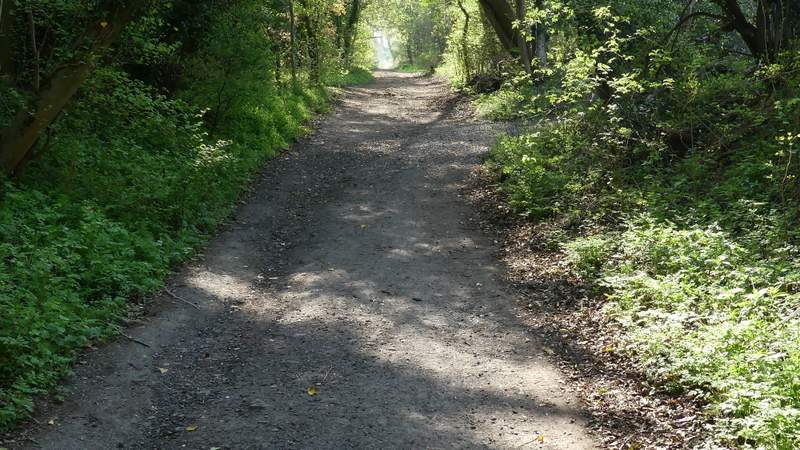
The bridleway from Great Kimble
The Ridgeway passing Pulpit Hill
The Ridgeway passing Pulpit Hill
The Ridgeway entering the Grangelands nature reserve
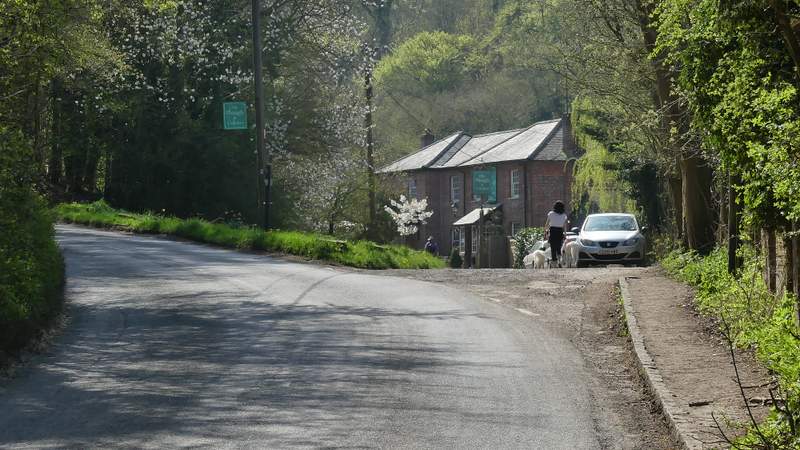
Approaching The Plough at Cadsdean
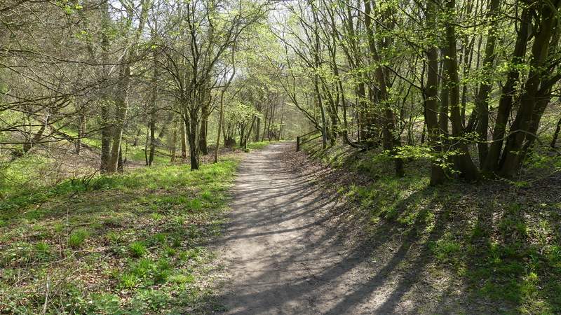
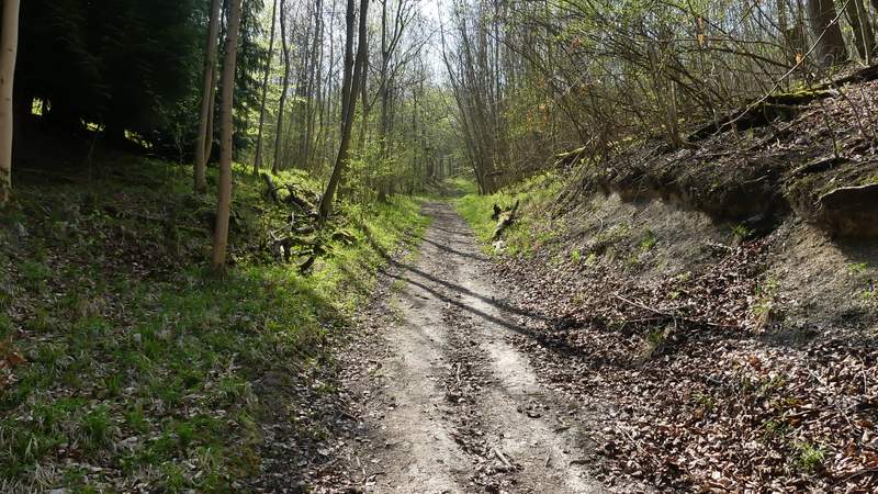
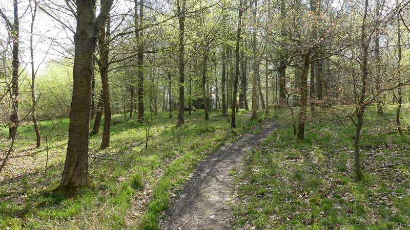
The Ridgeway turns right immediately after the pub, but I took another path that runs just left of the pub car park and soon enters Ninn Wood. At a path crossing I turned left along a track. After one or two hundred yards the path left the track, turning right and uphill. After a short while I came to what appeared to be a path junction but isn't, the path just turns left here and the waymark pointing straight on is wrong (if after going left you look back at the waymarked post, there is only a waymark pointing right, not both ways, which is correct!). The path continued uphill briefly before levelling out as it continued through the wood - I really enjoyed this section, I just love woods in Spring. On the edge of the wood I crossed a bridleway and the path continued alongside a hedgerow on my right, with a pleasant view ahead along the valley called Hampden Bottom. In the next field I passed a wood, Croft Coppice, on my right, before the path again had a hedgerow on the right.
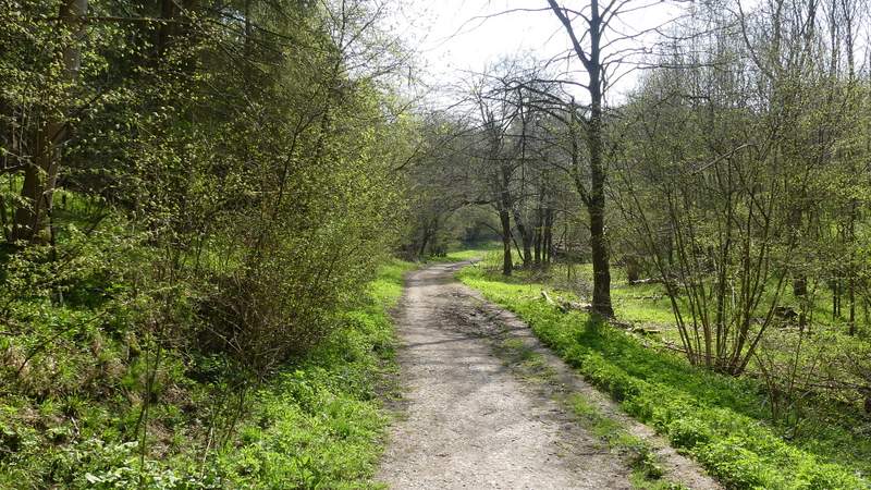
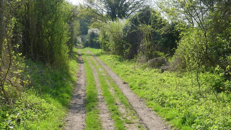
The path from Cadsdean into Ninn Wood
The path after I turned left at a path crossing in Ninn Wood
The path after I turned right in Ninn Wood
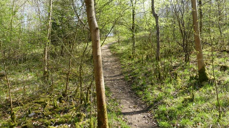
The path after I turned left in Ninn Wood
The path after I turned left in Ninn Wood
The path after I turned left in Ninn Wood
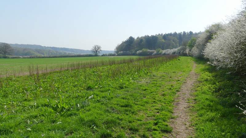
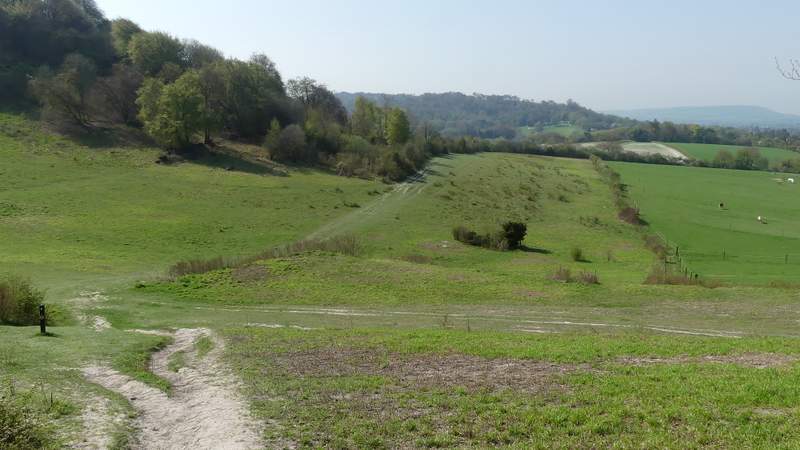
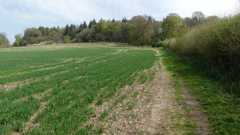
The path continuing from Ninn Wood
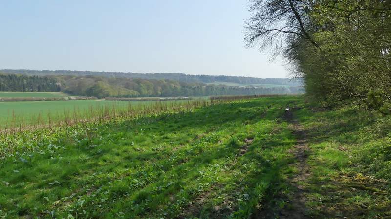
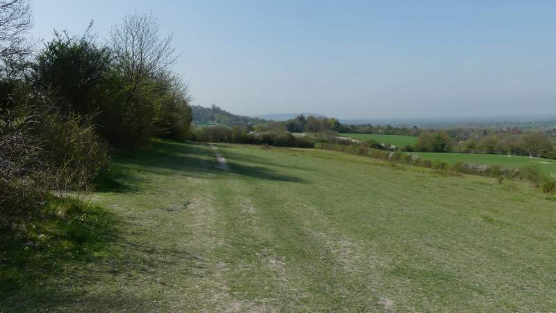
The path continuing from Ninn Wood
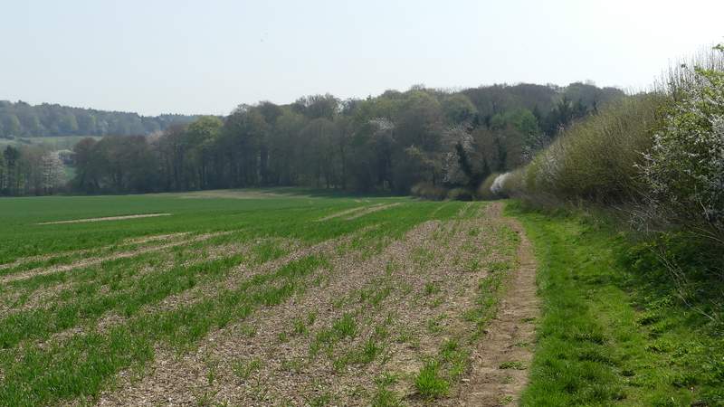
The path continuing from Ninn Wood
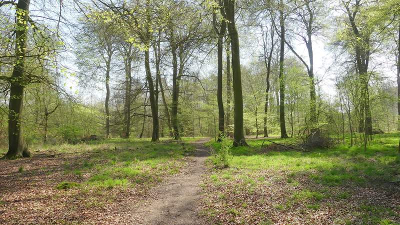
The path eventually joined the drive from Solinger House at a bend, where I went left. The drive soon entered a wood, a frequent haunt of Buzzards, on the other side of which it ended at the road through Hampden Bottom. I crossed over and continued down the drive (the map indicates it goes to Dirtywood Farm, but there is another name on the sign at the start of the drive. The path does a half-loop to the left to avoid the property, whatever it's called, and its gardens, before following a hedge gently uphill to reach Widnell Wood.
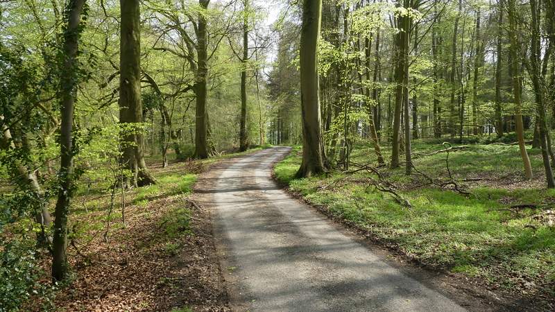
The drive from Solinger House
The path past Dirtywood Farm
The path continuing from Dirtywood Farm