Pete's Walks - Great Kimble and Bacombe Hill (page 3 of 4)
If you are considering walking this route yourself, please see my disclaimer. You may also like to see these notes about the maps and GPX files.
(I used Alternative 1 as shown on the map)
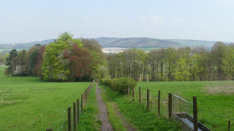
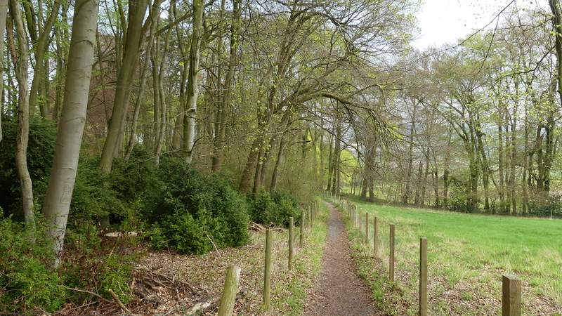
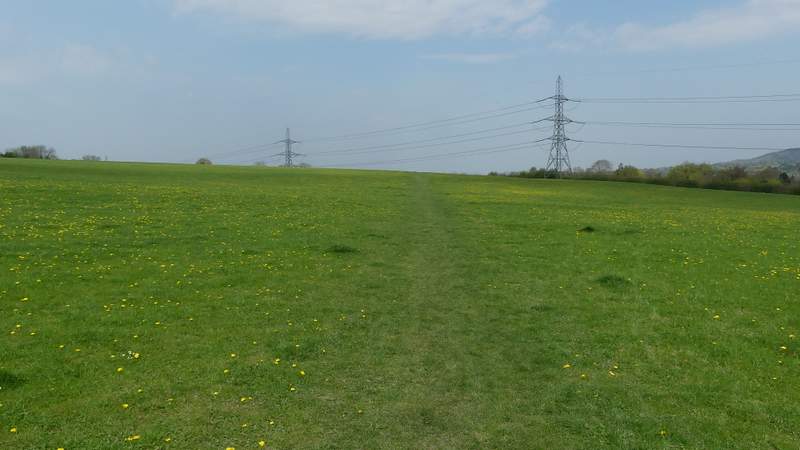
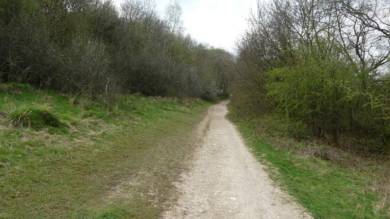
I followed the lane for less than a hundred yards before turning right just before reaching a garden on that side. The path went slightly uphill into a wood called High Scrubs, soon reaching a path T-junction where I went left. This path soon curved right, and after a short while reached a crossing bridleway where I went straight on along another bridleway. This continued between fences through more woodland for about half a mile, though I could sometimes see green fields close by on my right. Beyond the wood the bridleway dropped downhill, still between fences but now with pastures or meadows either side and with a nice view ahead towards Wendover Woods and a valley called The Hale. After passing a small wood on the left, the bridleway turned left (where a path came in on the right) and ran a short way between more fences to reach Bacombe and Bacombe Lane.
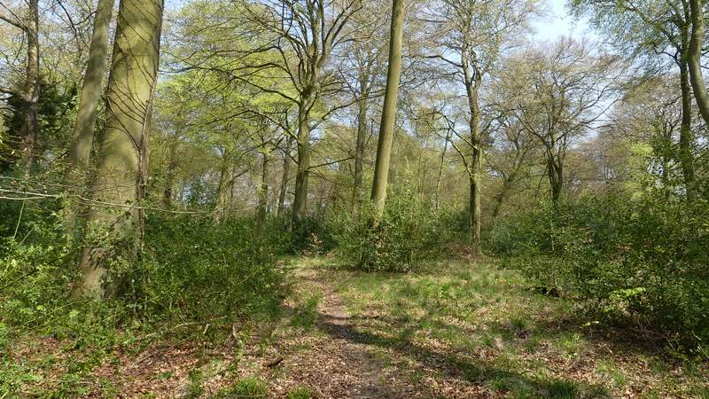
The first path in High Scrubs
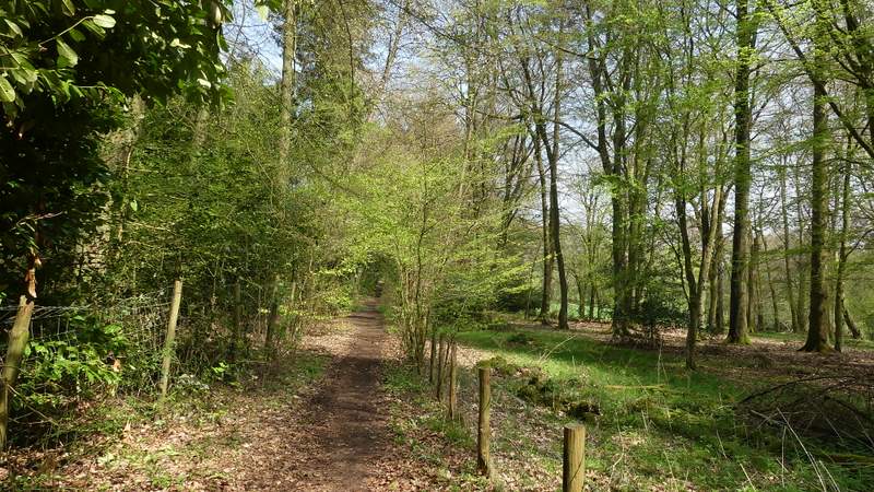
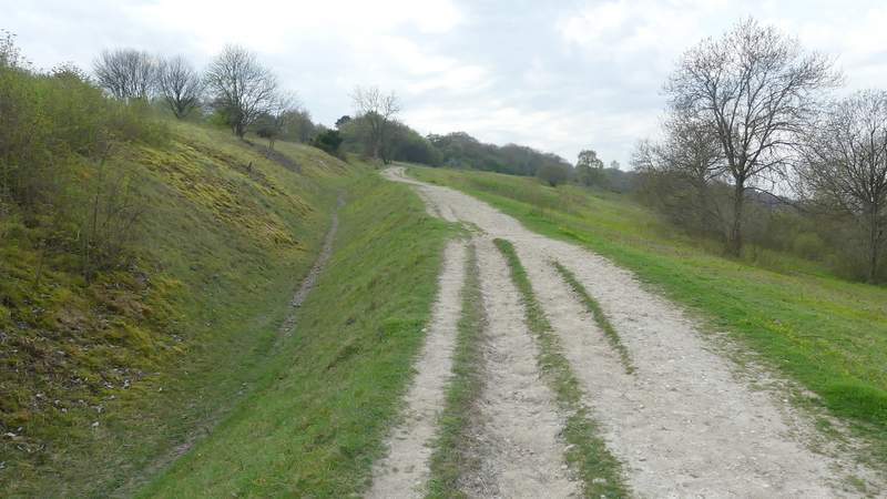
The bridleway to Bacombe
The bridleway to Bacombe
View half-left from the bridleway to Bacombe
The bridleway to Bacombe
The bridleway to Bacombe
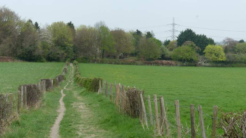
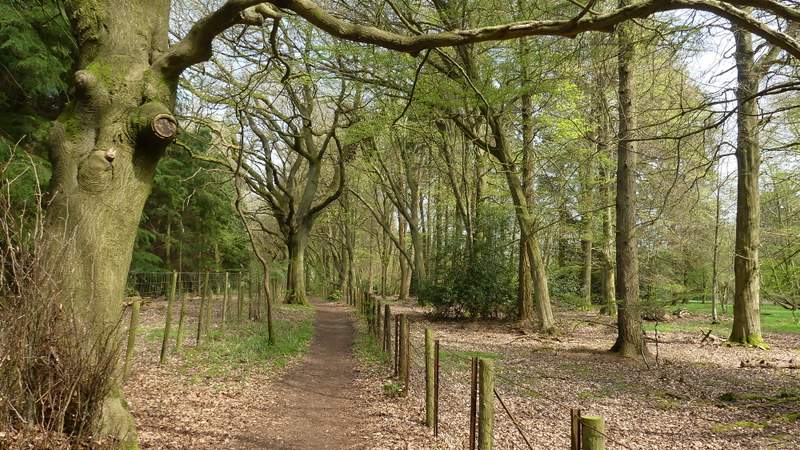
The bridleway approaching Bacombe
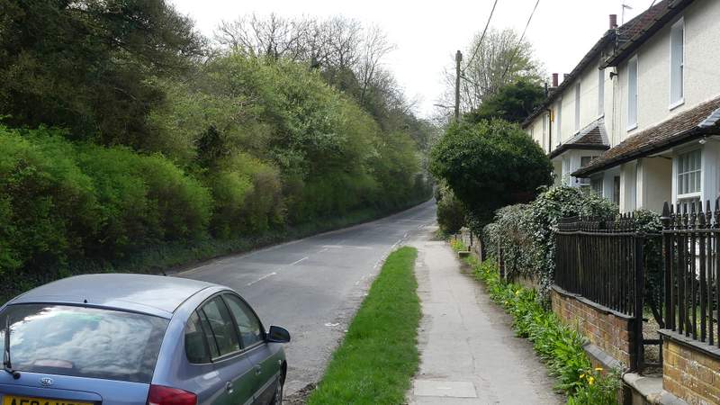
I turned right, and followed Bacombe Lane for maybe a couple of hundred yards before taking a path starting at a stile in the hedge on my left. This crossed a huge empty field (it sometimes has cows in it) to reach the far right corner, where a short track led on to a road heading out of Wendover (the road I follow many times on my way to start a walk, including this one). I followed the road uphill, using the pavement on the right, then carefully crossed back over just before a bend to take a bridleway starting on the left. Within a few yards I forked right through a gateway onto a footpath, following the White Acorn sign for the Ridgeway National Trail, which I'd now be following most of the way to Great Kimble. A little further on I came to another narrow fork where I chose to take the flight of 'steps' going slightly right rather than to continue along a groove worn in the hillside.
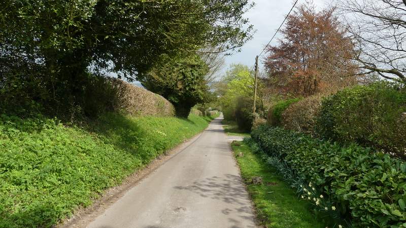
Bacombe Lane
The path from Bacombe Lane to Wendover
The road out of Wendover
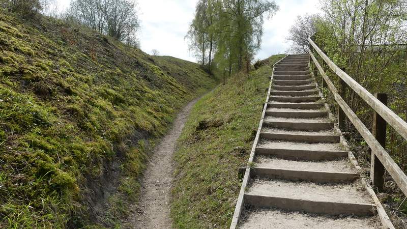
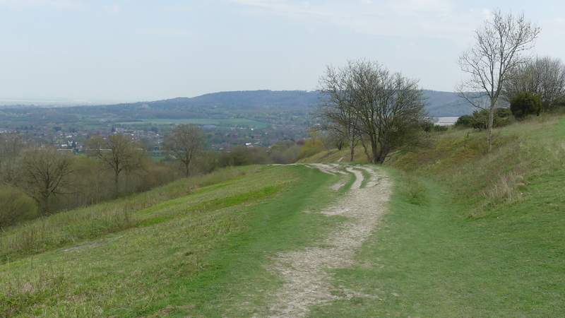
Near the start of the section of the Ridgeway on Bacombe Hill (I went up the steps, just to get better views)
The Ridgeway on Bacombe Hill
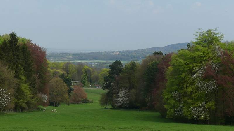
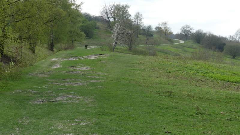
It's always a pleasure to follow the Ridgeway as it gradually rises up Bacombe Hill, because of the fine views out over the Vale of Aylesbury. The path eventually levels out and runs for about quarter of a mile between bushes and small trees either side. It then crosses a bridleway in a sunken lane, before continuing across the scrub-covered top of Coombe Hill to reach the Boer War monument, where there are again fine views out over the Vale of Aylesbury.
The Ridgeway on Bacombe Hill
Looking back from the Ridgeway on Bacombe Hill
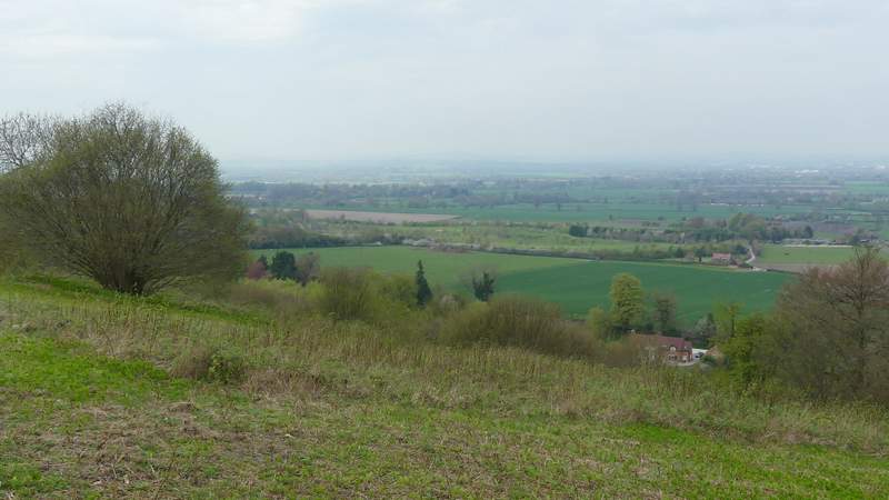
View towards the Vale of Aylesbury from Bacombe Hill
The Ridgeway on Bacombe Hill
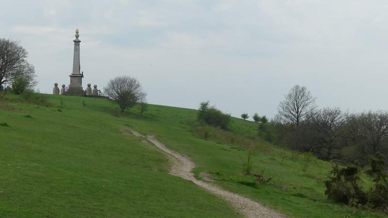
Approaching the monument on Coombe Hill
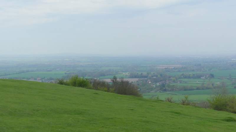
View towards the Vale of Aylesbury from Coombe Hill