Pete's Walks - Goring, Cray's Pond, Hartslock (page 1 of 4)
If you are considering walking this route yourself, please see my disclaimer. You may also like to see these notes about the maps and GPX files.
Google map of the walkDownload GPX file of the walk
I did this circular walk of about 8.3 miles on Saturday, 19th May 2018. It was a repeat of a walk I first did in May 2015, and again was designed to include a trip to see the orchids at the Hartslock nature reserve. The three previous times I've done this walk I've done it anti-clockwise, this was the first time I'd walked it in the clockwise direction.
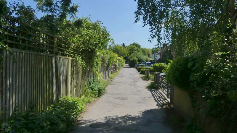
I parked at the far end of Manor Road, where it deteriorates into a very rough and uneven track (Grid Reference: SU 801602) and started walking at about 10.45am. I followed Manor Road back towards the centre of Goring, turning right at its end and then after a hundred yards or so turning left to walk past the car park and on to reach the High STreet. I turned right, and followed the street until it crossed a bridge over the railway and then reached a junction. Here I went straight on down a private road, before taking a footpath that went down a short alley on the left. At the end of the alley I continued straight on along a residential street. At the end of that street I continued along the pavement which bore slightly left, but just for a few yards before taking a footpath on the right. This immediately crossed a track the other side of a hedgerow, and soon reached another track where I went a few yards half-right to reach a gate. The path then continued through a large and rough paddock sloping uphill to my right. Beyond this the path followed garden fences on my left for several hundred yards, with Battle Plantation on my right, to reach Battle Road. Across the road a narrow path continued, soon starting to rise uphill very gently with fields over a fence or hedge on my left and woodland on my right.
The start of the path from Cowleaze Wood to Pyrton
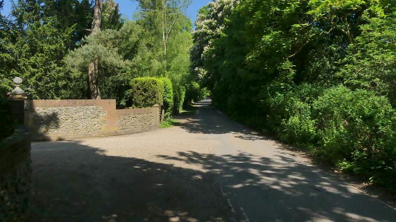
The private road, starting at the junction by the railway bridge in Goring
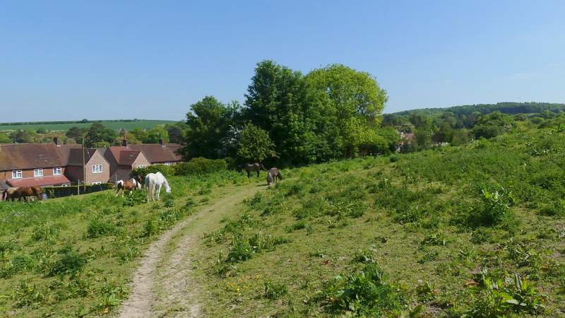
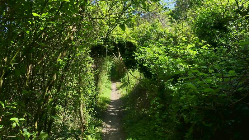
Near the start of the path to Battle Road
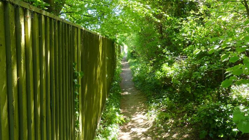
The path to Battle Road
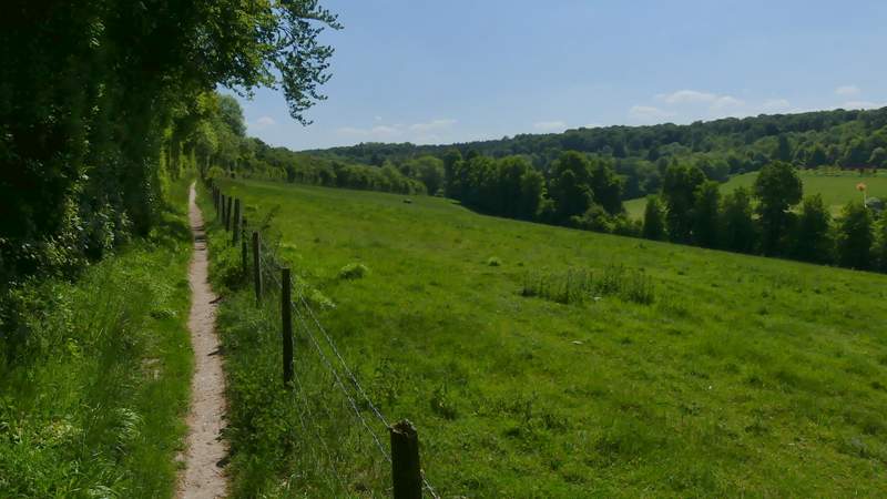
The path from Battle Road to Wroxhills Wood
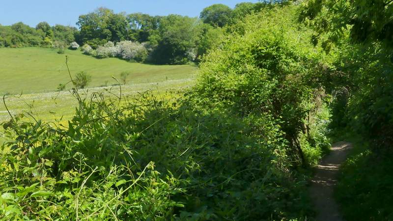
The path from Battle Road to Wroxhills Wood

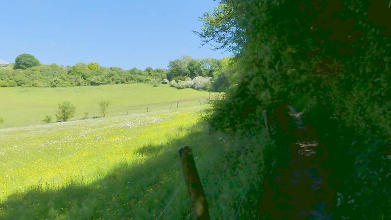
View left from the path from Battle Road to Wroxhills Wood
The path from Battle Road to Wroxhills Wood
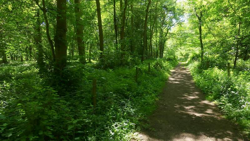
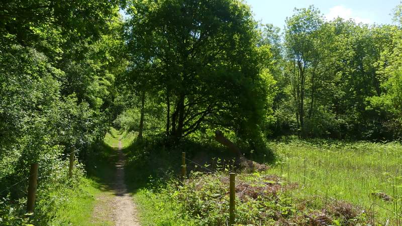
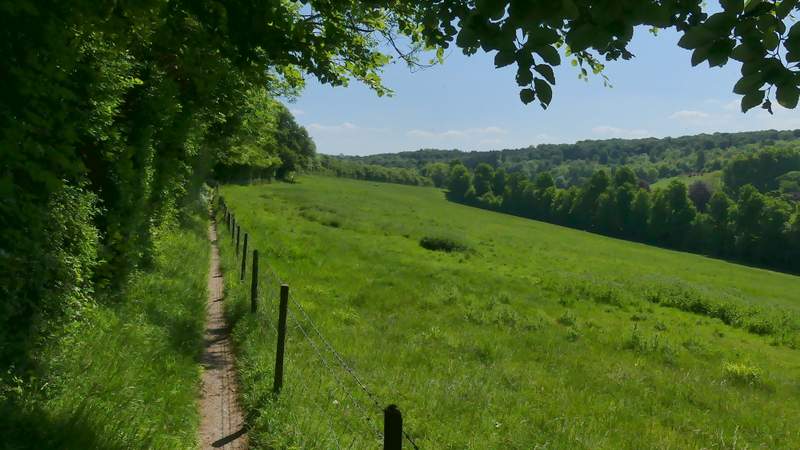
After several hundred yards the path entered Wroxhills Wood where it immediately turned right and soon levelled off. When the path reached a crossing bridleway, I turned right and followed the bridleway through the wood for almost another half a mile. The bridleway then continued beside a tall hedgerow on the left with a green field sloping down on my right. After a few hundred yards the bridleway joined a track, which it followed downhill beside the same field to reach a lane (the OS map isn't clear whether this is Battle Road again or Elvendon Lane).
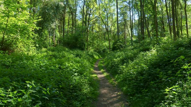
The path continuing through Wroxhills Wood
The bridleway after I turned right in Wroxhills Wood
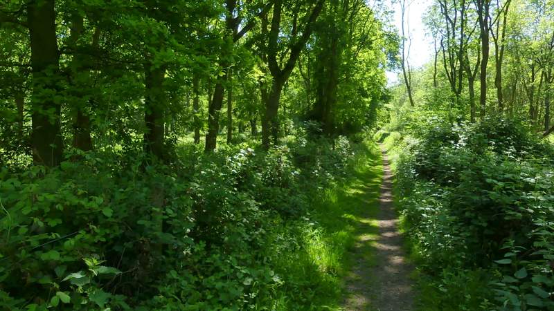
The bridleway after I turned right in Wroxhills Wood
The bridleway after I turned right in Wroxhills Wood
The bridleway continuing from Wroxhills Wood
The bridleway continuing from Wroxhills Wood
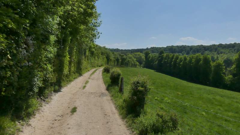
The bridleway continuing from Wroxhills Wood
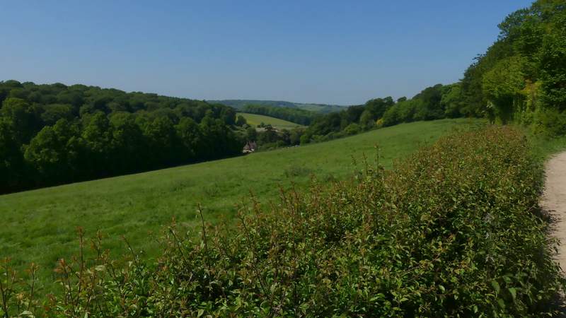
Looking back from the bridleway