Pete's Walks - Goring, Cray's Pond, Hartslock (page 3 of 4)
If you are considering walking this route yourself, please see my disclaimer. You may also like to see these notes about the maps and GPX files.
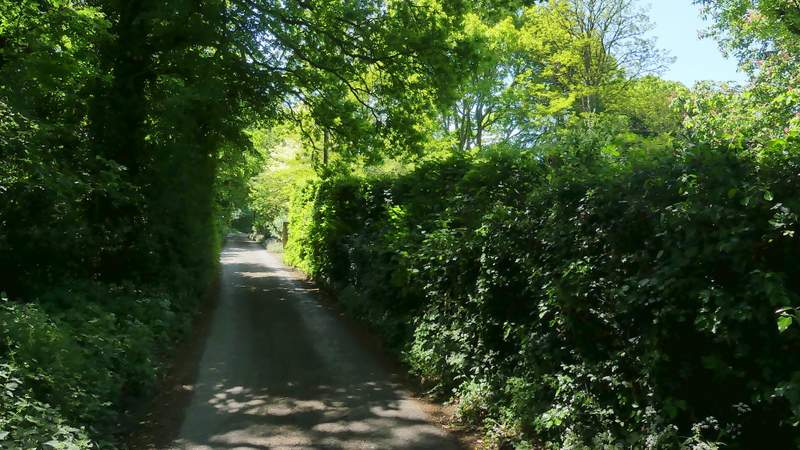
After a few hundred yards I came to a path junction in the wood (white arrows on a tree) where I turned right. The path continued through the wood, crossing Eastfield Lane (here a muddy track) at one point and eventually reached a road. I crossed over and followed a path on the other side that went right, running parallel to the road. Across a school drive, the path went through a gate to enter the school's large playing fields, running alongside a hedge with the road on the other side, then turning left behind a row of trees. It then turned half-right to run through a large area of grassland full of buttercups and other flowers.
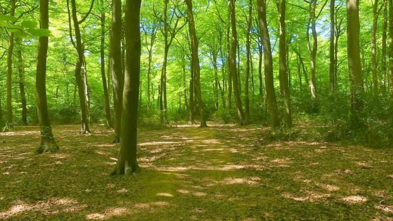
The path after I turned right in the wood
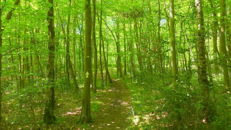
The path after I turned right in the wood
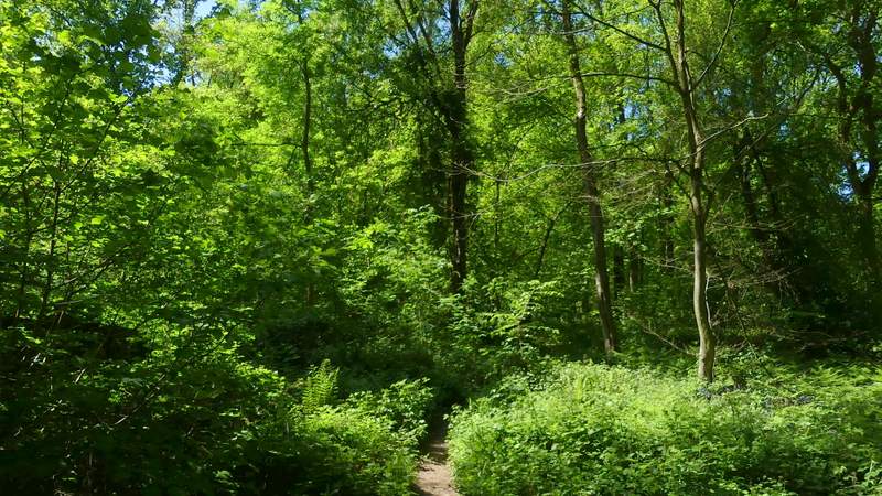
The path after I turned right in the wood
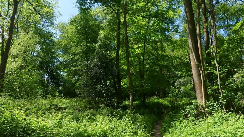
The path after I turned right in the wood
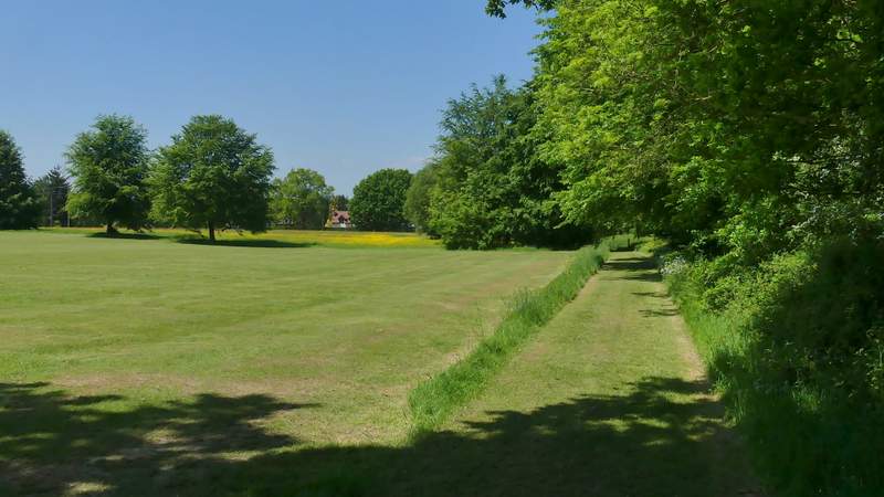
The path by the school playing fields
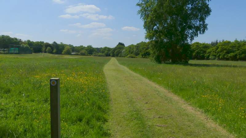
The path by the school playing fields, after it turns half-right
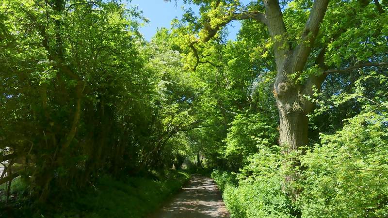
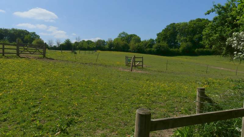
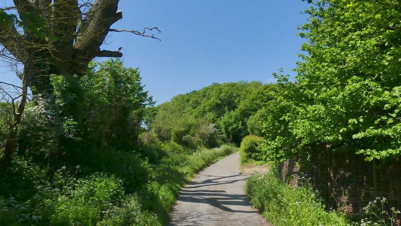
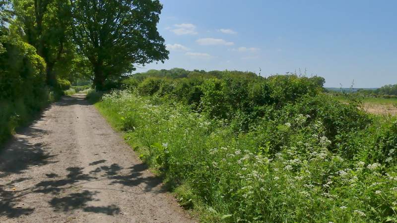
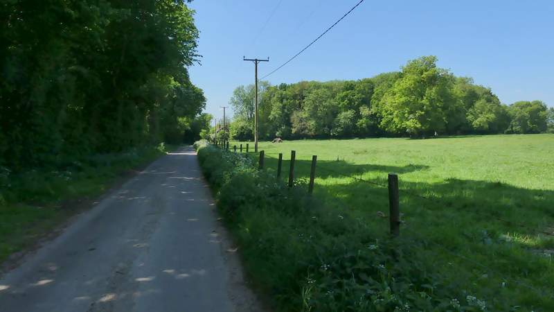
Across a road I continued down a track or drive into the hamlet of Blackbird's Bottom. After a few hundred yards I took a path on the left (starting at a gate set a few yards back from the drive). This crossed some paddocks to a hedge, and then continued in the same direction across part of a meadow, beyond which I turned left along a bridleway following another drive. At the end of the drive I turned right and followed a lane for a few hundred yards to reach a point named Cold Harbour on the map, where I turned left along a byway (a hedge-lined track). At its end after a third of a mile or so, I turned right along another lane. After a while I passed Cockpit Plantation on my right. One or two hundred yards after that I took an 'Other route with public access' on the left (actually going more or less straight on).
The drive or track into Blackbird's Bottom
Start of the path from Blackbird's Bottom
The bridleway after I turned left at the end of the path from Blackbird's Bottom
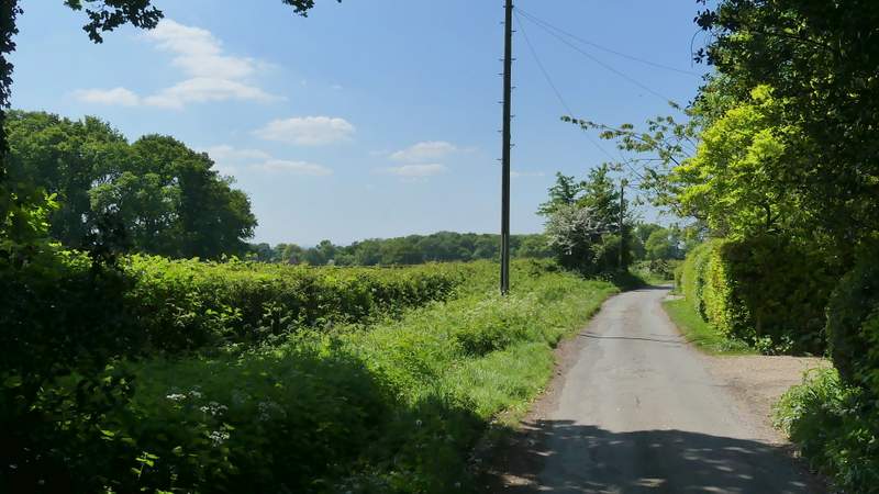
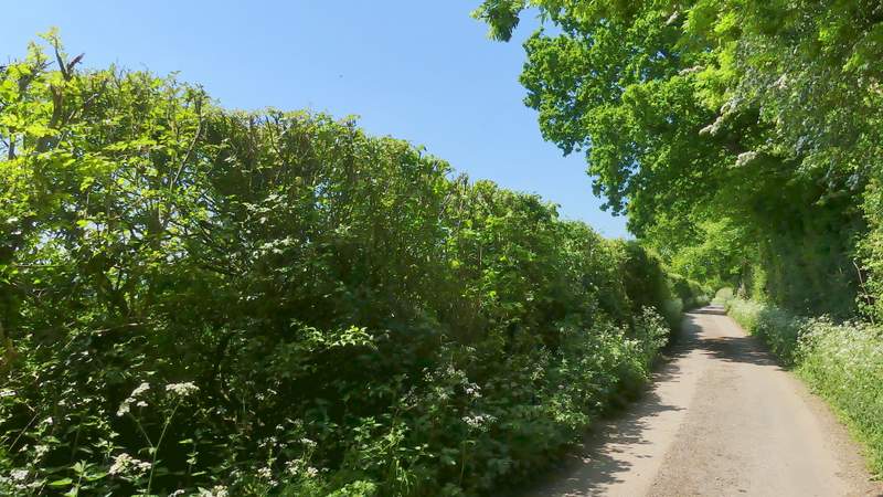
The lane to Cold Harbour
The lane to Cold Harbour
The track from Cold Harbour
The lane, after I turned right at the end of the track from Cold Harbour
Further along the lane, as it passes Cockpit Plantation
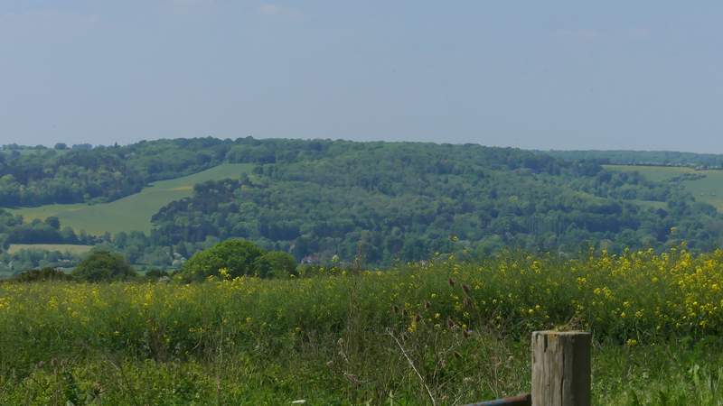
View left from immediately before I left the lane