Pete's Walks - Hambleden, Marlow Common, Moorend Common (page 3 of 5)
If you are considering walking this route yourself, please see my disclaimer. You may also like to see these notes about the maps and GPX files.
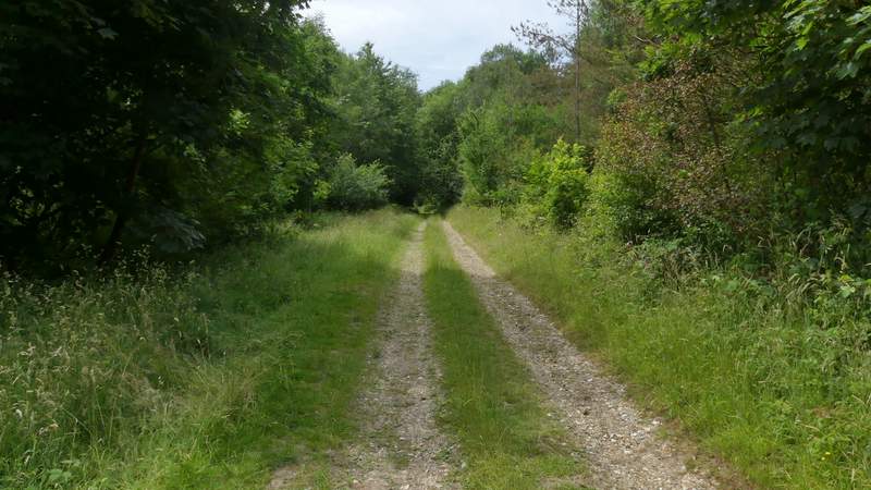
At the end of Mundaydean Lane I continued straight on down a track. At its end I turned left and then immediately right, following a path just inside the edge of Shillingridge Wood. On the far side of the wood I continued down what I think was marked as a bridleway though the OS map only shows a path (last time I took the parallel path over the hedge on my left). At a junction near Bluey's Farm I continued more or less in the same direction past a line of conifers. Just beyond these the path bore slightly right and started to go uphill, but almost immediately I left it, taking a bridleway going through a gate on the left.
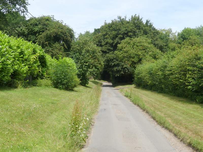
Mundaydean Lane
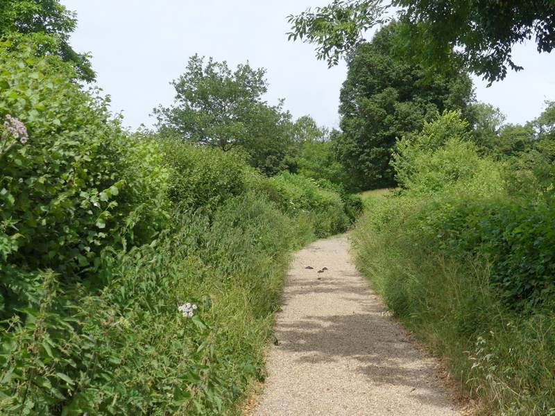
The bridleway continuing from Mundaydean Lane
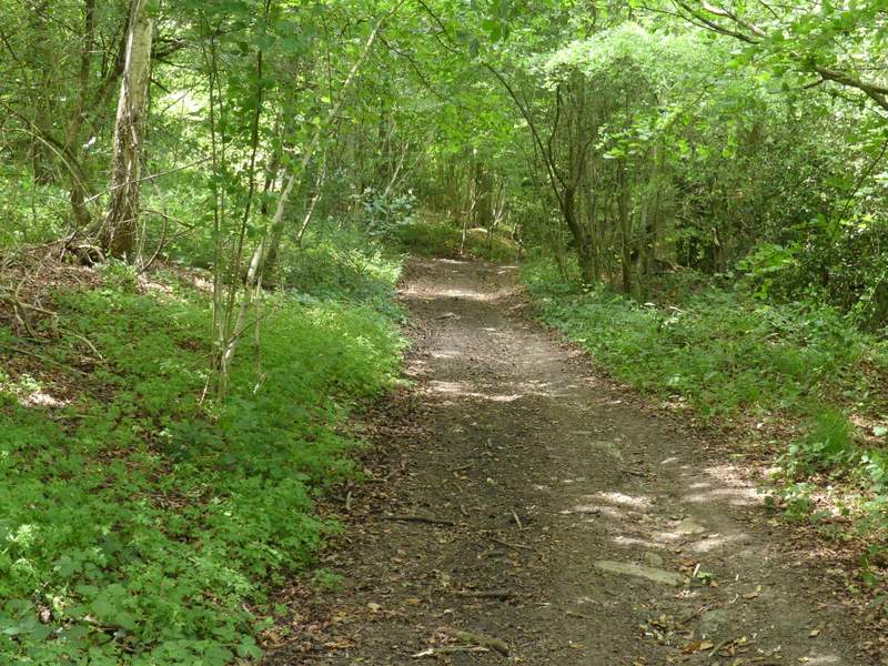
Shillingridge Wood
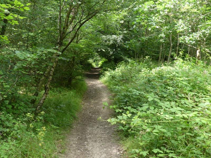
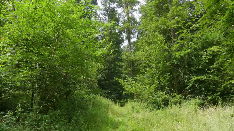
Shillingridge Wood
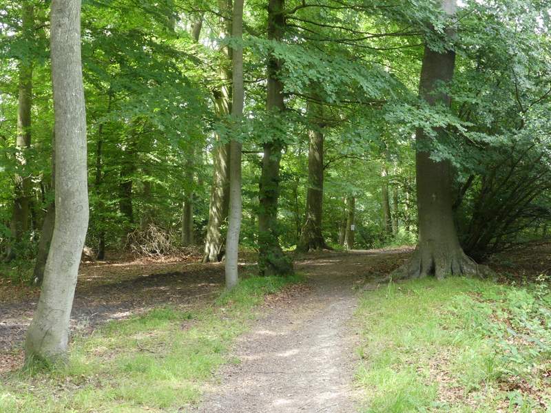
Shillingridge Wood
The bridleway near Bluey's Farm
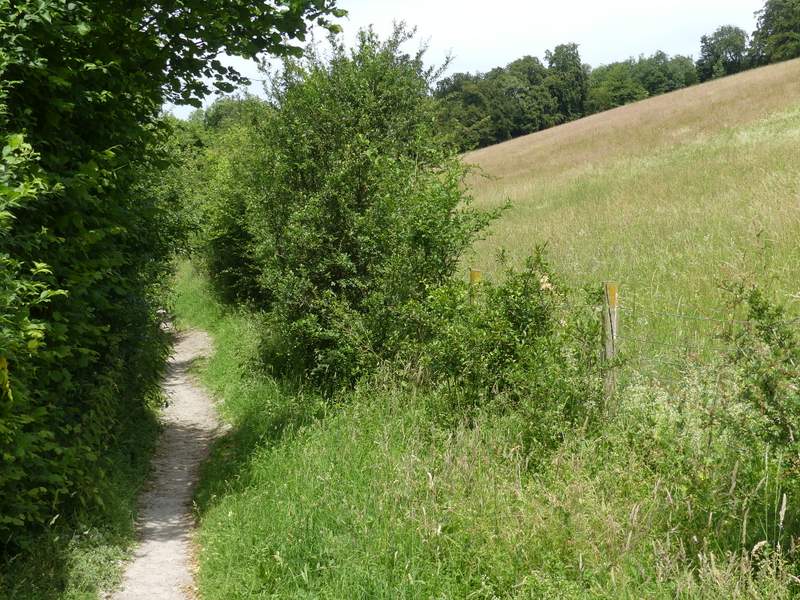
Where I left the bridleway, taking the bridleway going through the gate on the left
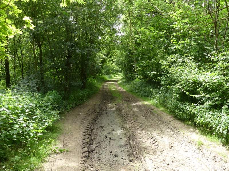
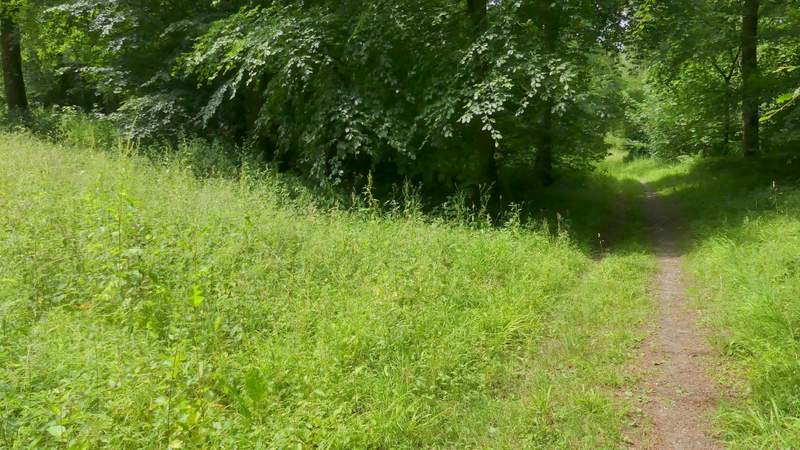
The bridleway ran through a meadow, continuing along the left edge of a second meadow as far as a gate, beyond which it ran between hedges for a short while to reach Moor Wood. After a quarter of a mile or so I almost went straight on at a path crossroads before remembering I needed to turn left down a track. The track led pleasantly through the wood, before the path crossed part of a meadow and then re-entered Moor Wood.
The bridleway to Moor Wood
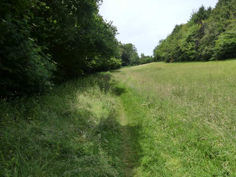
The bridleway to Moor Wood
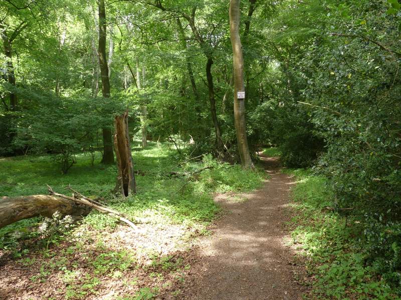
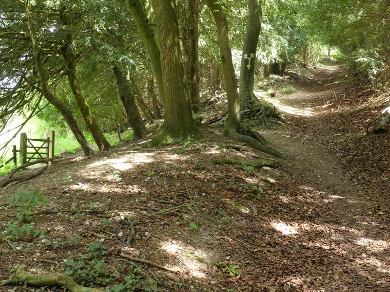
Moor Wood
Moor Wood
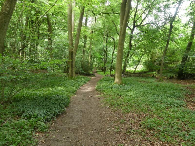
Moor Wood, after I turned left along a footpath
Moor Wood
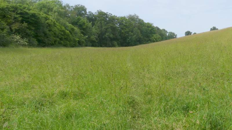
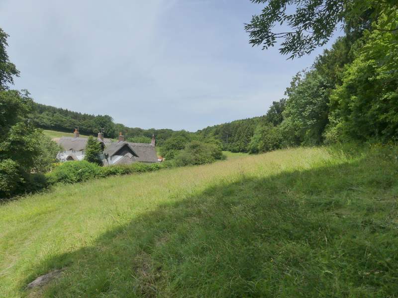
The meadow cutting into Moor Wood
Moor Wood
Moor Wood