Pete's Walks - Coombe Hill and Redland End (page 1 of 5)
If you are considering walking this route yourself, please see my disclaimer. You may also like to see these notes about the maps and GPX files.
I did this circular walk of about 10.8 miles on Friday, 6th July 2018. It was a repeat of a walk I first did in February 2015 (I'm surprised it was so long ago!).
I parked in the large car park at Coombe Hill (grid reference SP852063), and started walking at roughly 9.45am. I went through the gate by the entrance to the car park and followed a path across the middle of a strip of grass and bushes - I couldn't remember ever seeing this area so dry and brown, we've had a couple of very dry months. The path then went through a short area of trees, then turned right along a broad swathe of grass and headed to the tall Boer War monument on the top of Coombe Hill. From the monument I turned right and followed the Ridgeway (acorn signs, NOT the surfaced path further right) along the scrub-covered hilltop. After a few hundred yards the path crossed a bridleway in a sunken lane or 'hollow way', then continued between short trees and bushes either side. When I came to a junction where the Ridgeway turned or forked left, I went straight on. Just after a kissing-gate I went right at a narrow fork in the path, staying at the top of the long ridge of Bacombe Hill. I followed this path for several hundred yards, until I reached a tumulus, or ancient burial mound.
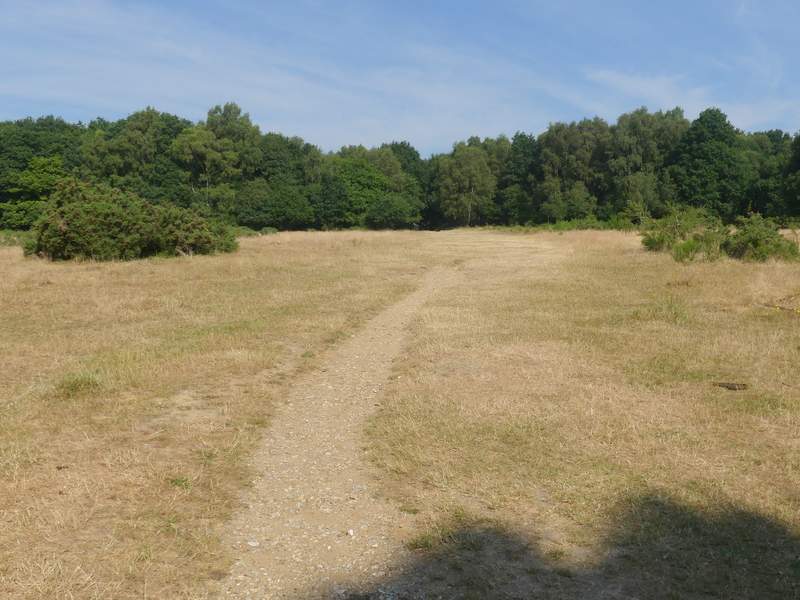
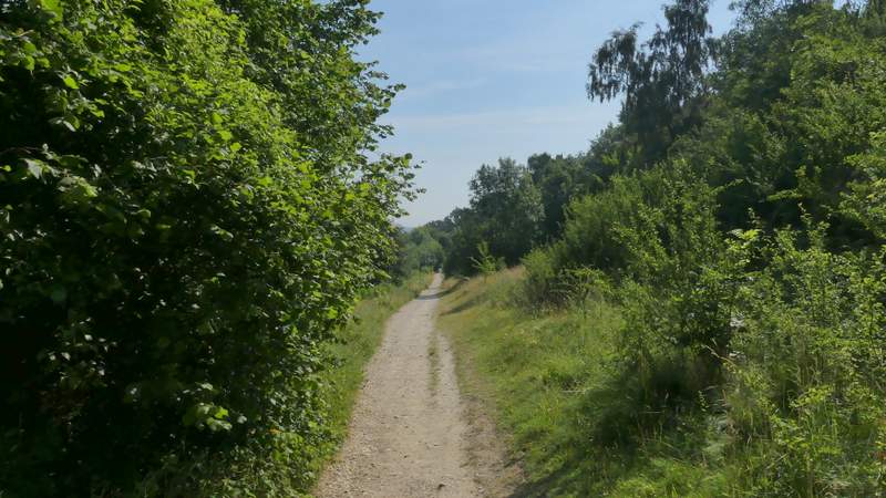
The path from the Coombe Hill car park
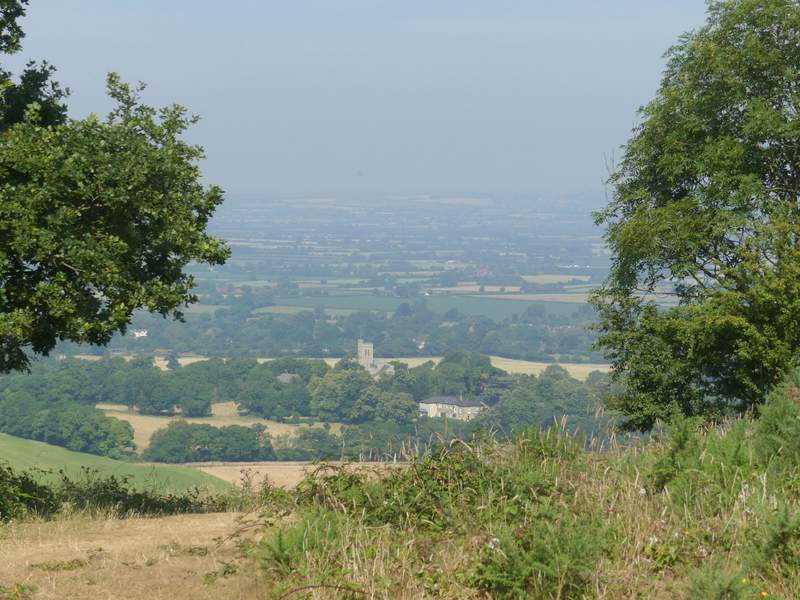
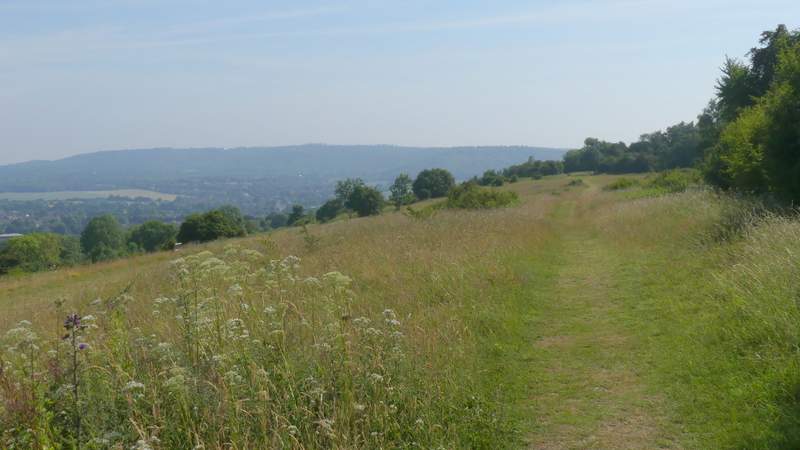
View from Coombe Hill
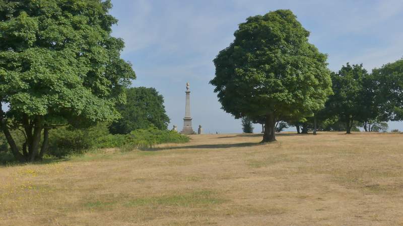
Approaching the Boer War monument on Coombe Hill
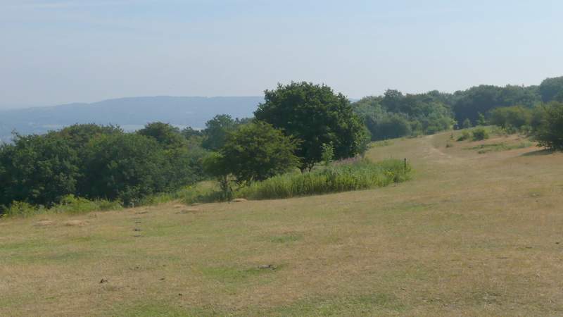
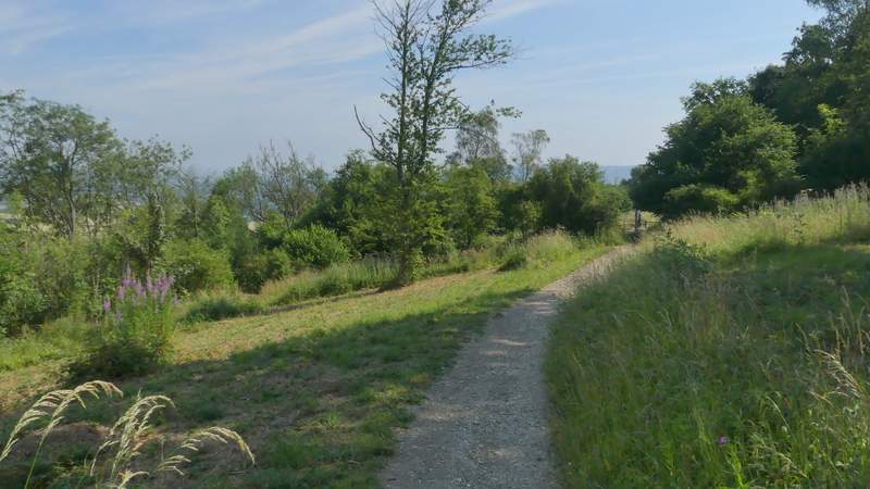
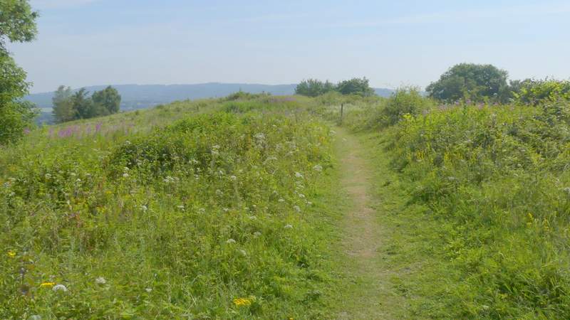
The Ridgeway heading from Coombe Hill to Bacombe Hill
The Ridgeway heading from Coombe Hill to Bacombe Hill
The path on Coombe Hill
The path on Coombe Hill
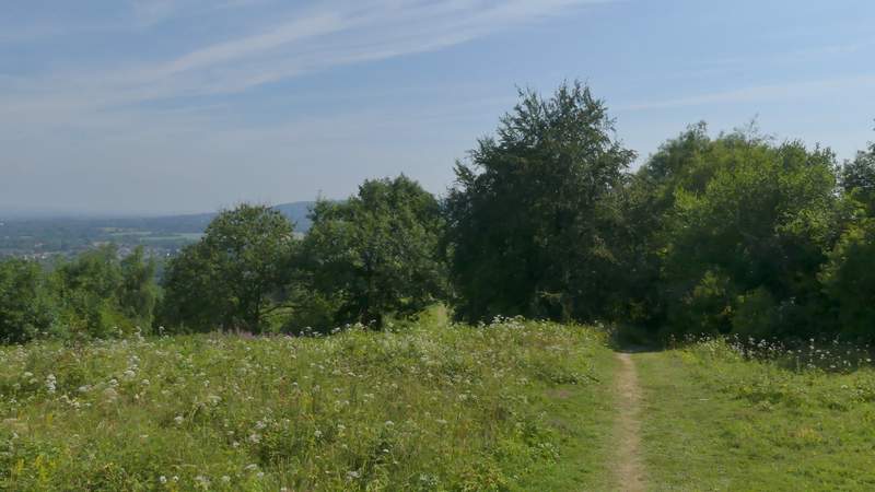
The path on Coombe Hill
The tumulus on Bacombe Hill
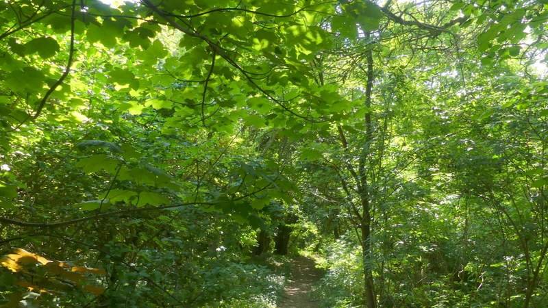
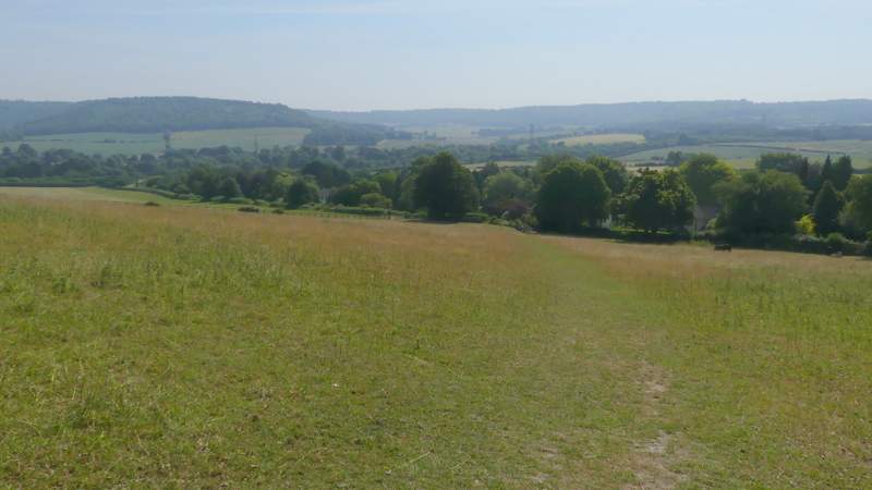
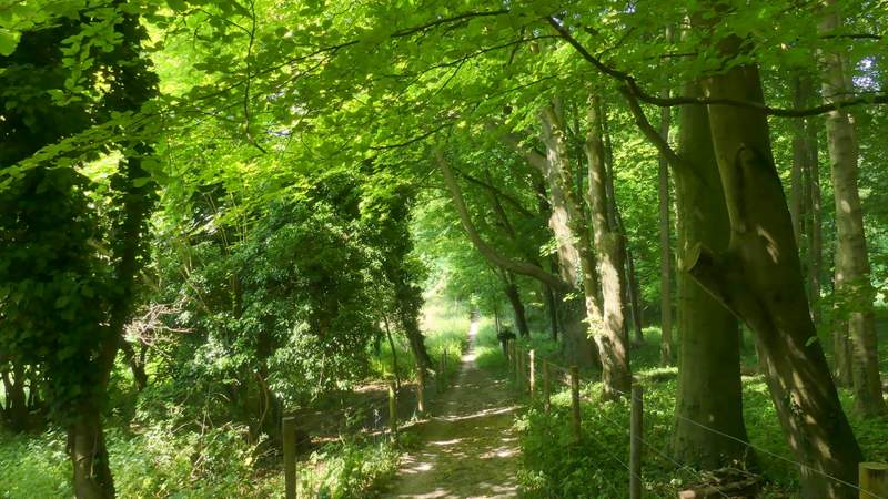
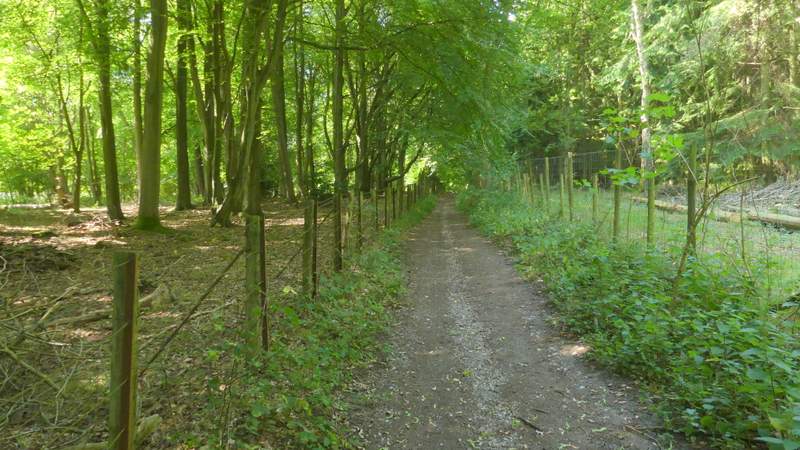
I turned right at the tumulus, the path dropping downhill through small trees to a bridleway. Across a stile on the other side a path went slightly left as it descended through what is normally a paddock for horses but today had four young cattle in it. Over another stile on the far side, I turned left along Bacombe Lane. After two or three hundred yards I took a bridleway on the right, that passed between gardens and then ran between fences and occasional bushes, with paddocks or pastures either side. The bridleway then turned right (a path went straight on), dropping downhill briefly before starting a long steady climb uphill. There were initially fields to my left and a wood to my right, then fields either side before the bridleway entered a wood towards the top of the slope.
The path downhill after I turned right from the tumulus
The path descending to Bacombe Lane
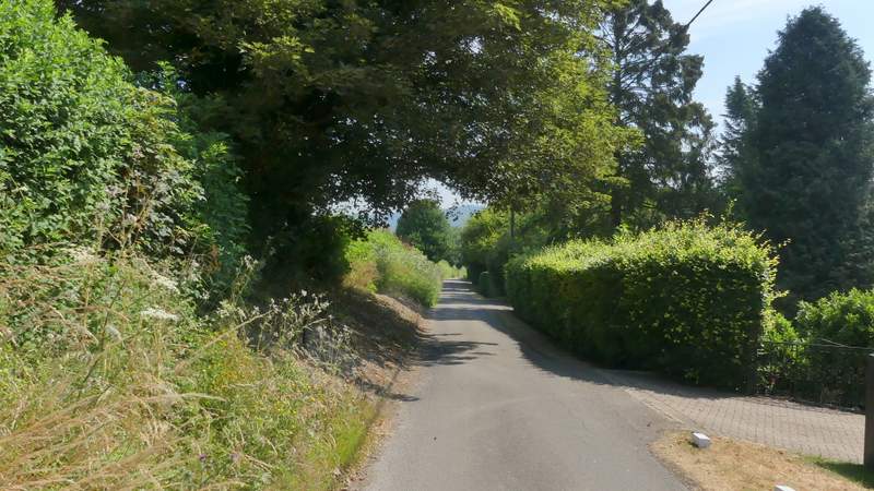
Bacombe Lane
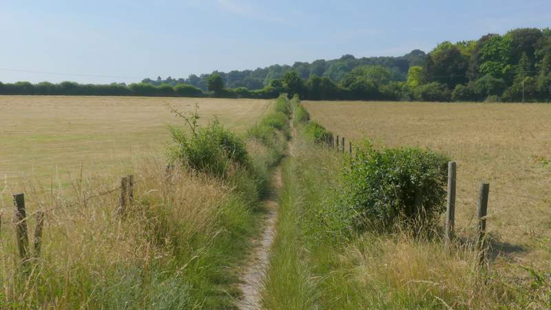
The bridleway going south from Bacombe Lane
The bridleway from Bacombe Lane after turning right, now going southwest
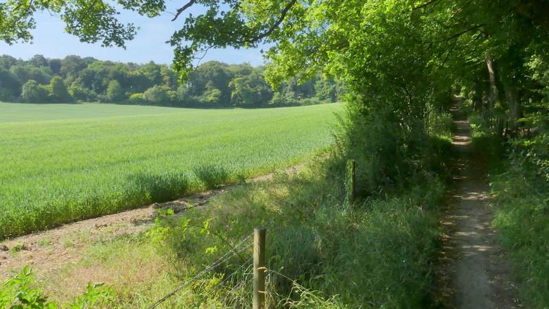
The bridleway from Bacombe Lane
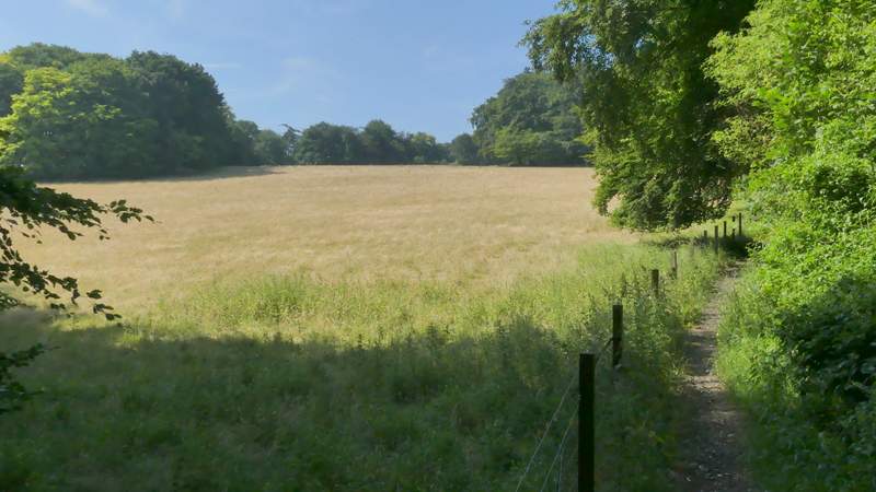
The bridleway from Bacombe Lane
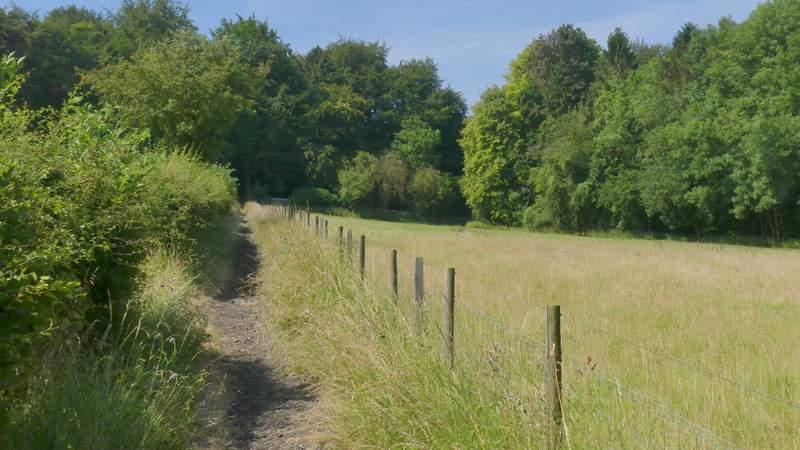
The bridleway from Bacombe Lane
The bridleway from Bacombe Lane