Pete's Walks - Bledlow Ridge, Bradenham, West Wycombe (page 3 of 5)
If you are considering walking this route yourself, please see my disclaimer. You may also like to see these notes about the maps and GPX files.
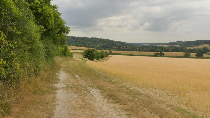
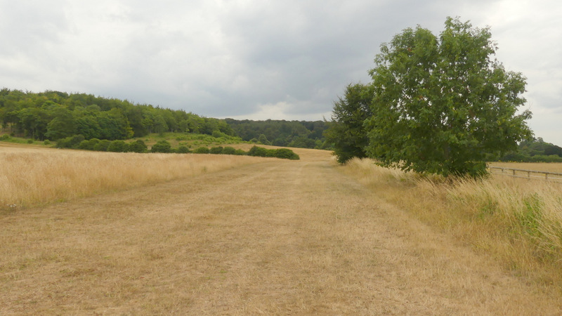
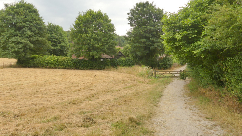
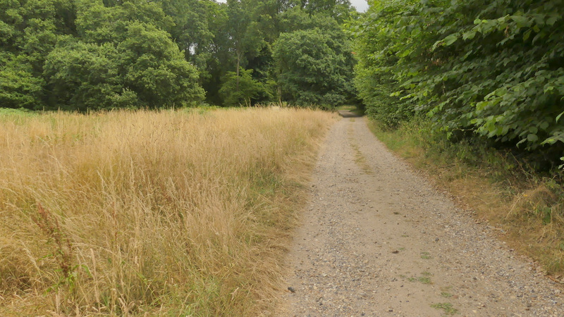
The path then turned right near the top of the slope, still with Park Wood on my left. It curved slightly left as it followed the edge of the wood, gradually descending and with nice views across and along the valley on my right. It continued descending after parting from the edge of the wood, going straight on with the village of Bradenham coming into view ahead. I went straight on at a path crossroads, continuing for about a quarter of a mile past a corn field extending to my left, before crossing a small meadow and reaching a road in Bradenham near the village church. Here I went a few yards right, then turned left to walk along the top of the large village green, passing the church and Manor House on my left and the cricket pitch on my right.
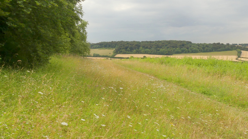
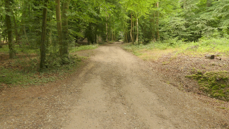
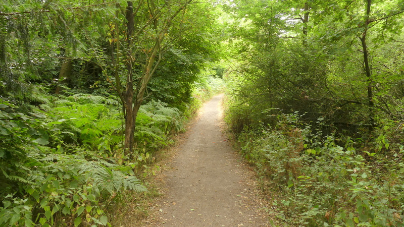
The path from Small Dean Farm to Bradenham
The path from Small Dean Farm to Bradenham
The path from Small Dean Farm to Bradenham
The path from Small Dean Farm to Bradenham
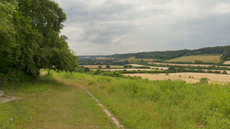
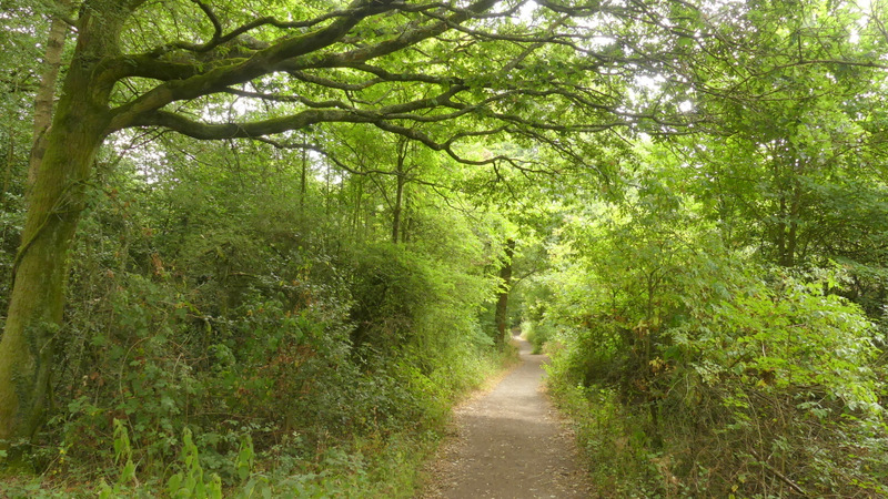
The path now approaching Bradenham
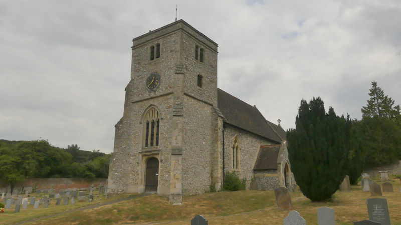
Bradenham church
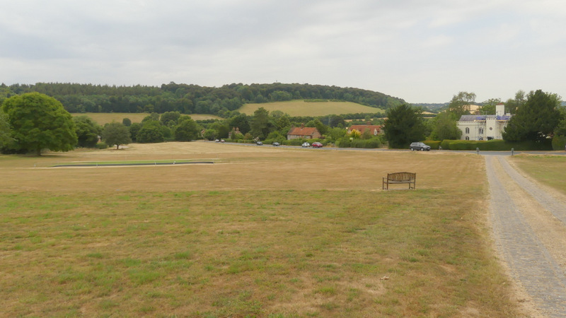
Bradenham
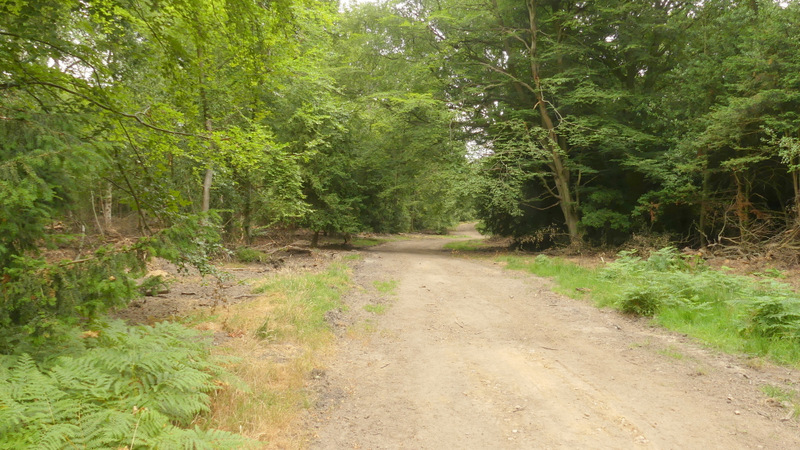
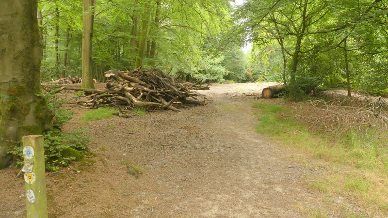
In the corner of the green I turned left along a track that ran past the edge of the grounds of the Manor House on my left. When the track then forked, I kept left, this track almost immediately turning right and heading uphill into the wooded Naphill Common. It fairly soon merged with the track that had forked right, and then quickly levelled out and passed some cottages on my right (near Bradenham Hill Farm). At a bridleway fork I then kept right, soon coming to another junction where the bridleway became a wide dirt track (obviously the result of recent forestry operations).
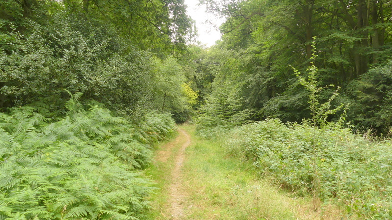
After a few hundred yards I came to a junction where a waymark on a post indicated that the bridleway forked right from the dirt track (with a footpath continuing along the track). I was a bit concerned as I followed what now seemed a very narrow path, not like the bridleway I remembered here at all. When I came to a crossroads, I was sure I'd gone wrong - I was expecting to take a path forking right from the bridleway, but I recognised the path now on my right as being part of that footpath. So somehow I'd gone too far right - yet I'd definitely been following the blue waymarks for the bridleway! Looking on the OS Map now, I suspect that I'd previously followed the footpath that runs slightly to the left of the bridleway (the one that continued along the dirt track), mistaking it for the bridleway because it was so broad. Or possibly, after the recent forestry operations, there had been a correction to the waymarking of the paths and bridleways.
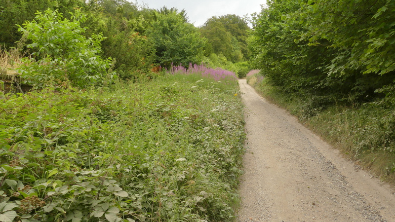
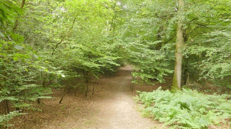
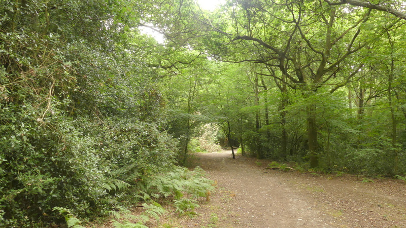
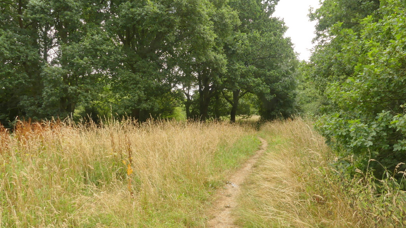
Anyway, I now turned right at the path crossroads. After a hundred yards or so I came to a complicated junction where several paths converged. I just went more or less straight on, keeping the edge of the wooded common close by on my right (the section of path along the edge of Naphill Common beyond the junction isn't shown on the OS map, but the common is an 'Open Access' area so no trespassing was involved!). After a while the path merged with a bridleway. I then continued southwards, still close to the edge of the common on my right, until after about half a mile the bridleway ended at a lane, opposite the cricket pitch at Downley.
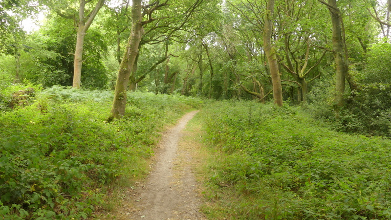
Near the start of the bridleway from Bradenham
The bridleway from Bradenham
The bridleway entering Naphill Common
The bridleway continuing through Naphill Common
The bridleway after I forked right on Naphill Common
Naphill Common (this is where I mistakenly forked right, but you can see the blue bridleway sign is pointing this way)
Naphill Common
Naphill Common (this is just after I turned right, back onto my intended route)
The path along the edge of Naphill Common (not shown on the OS map)
The bridleway going south through Naphill Common to Downley
The bridleway going south through Naphill Common to Downley
The bridleway now approaching Downley