Pete's Walks - Maidensgrove Common and Rotherfield Peppard (page 1 of 6)
If you are considering walking this route yourself, please see my disclaimer. You may also like to see these notes about the maps and GPX files.
I did this circular walk of about 14 miles on Saturday, 11th August 2018. It was a repeat of a walk I did in May 2012.
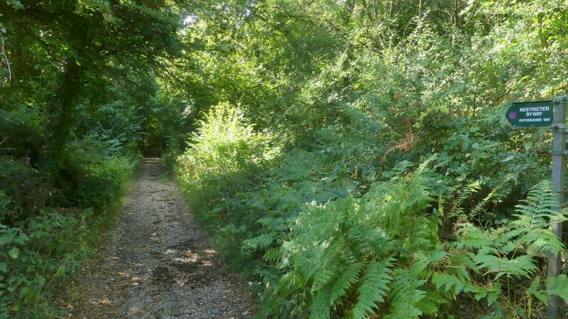
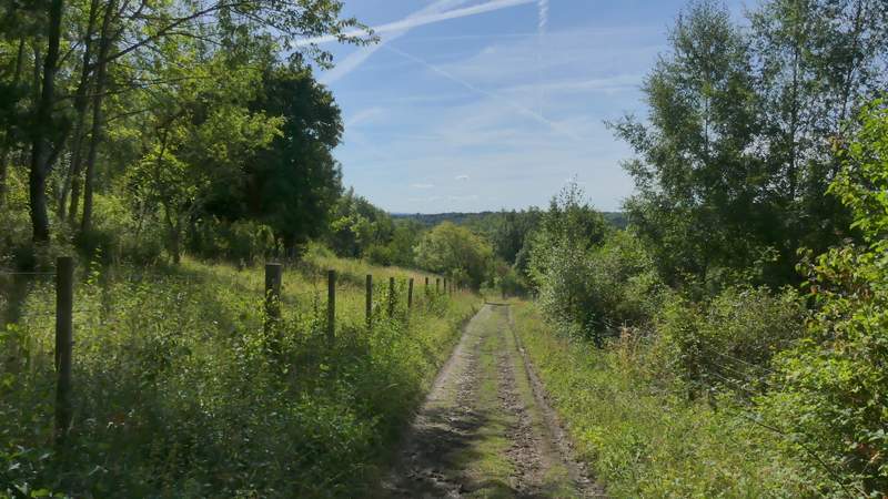
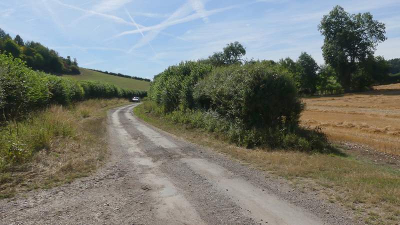
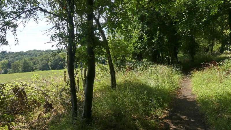
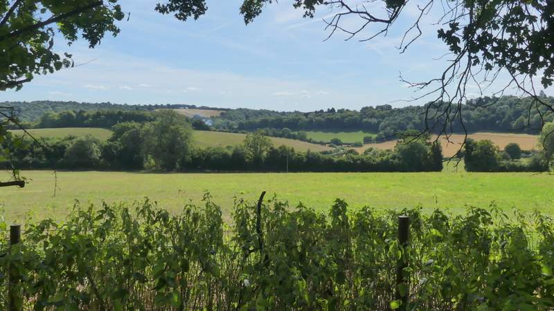
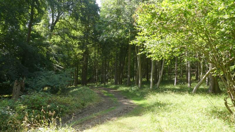
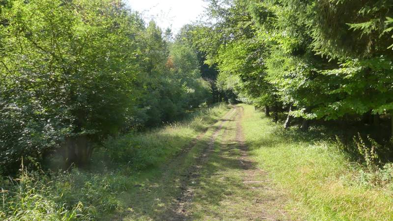
I parked on Maidensgrove Common where the lane crosses it (grid reference SU 717886) and started walking about 10.25am. I followed the lane across the common to where it turns right (to the Five Horseshoes pub and Russell's Water), where I turned left along the edge of the common (so I had a hedgerow on my right). In the corner of the common I continued down a short track to reach a lane, which I followed to the right. Just before it ended at Lodge Farm I took a restricted byway on the right (part of the Oxfordshire Way), which ran southwards along the edge of the wooded Warburg nature reserve that sloped down to my right. After about half a mile I came to a fork, where I kept right, now on a bridleway that initially passed through Freedom Wood as it gradually sloped downhill. Soon there was a nice view over the nature reserve on my right, then a little further on the bridleway was running between thick hedgerows as it dropped down into a valley called Bix Bottom.
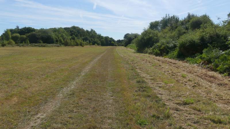
The path along the edge of Maidensgrove Common
The lane in Maidensgrove
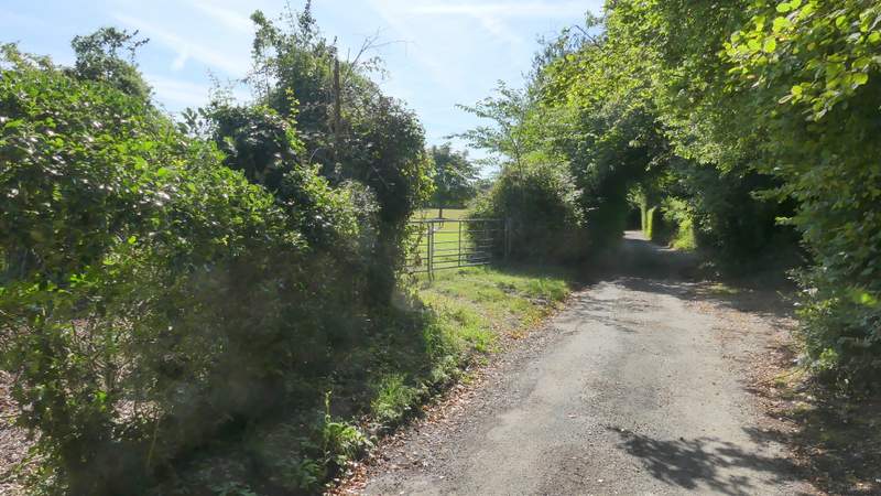
The start of the bridleway or byway, from near Lodge Farm in Maidensgrove
Just before the fork, where I kept right
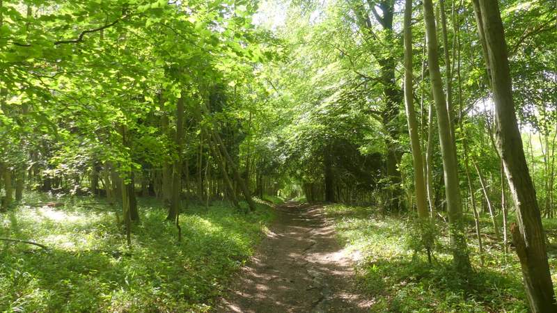
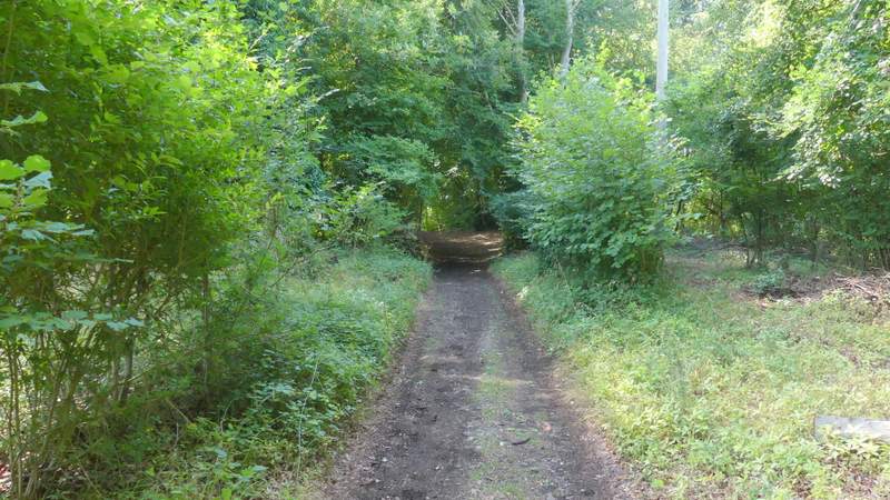
The bridleway continuing through Freedom Wood
Further along the bridleway
View right over the Warburg nature reserve
The bridleway descending into Bix Bottom
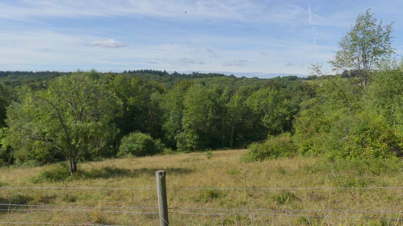
I turned left along the lane, soon passing the ruins of the old church of St James on my right. On reaching Valley End Farm I turned right, the public footpath running through the farmyard and then continuing along a track. About a hundred yards or so along the track, I turned left, this new path following a fence on my left uphill to the end of a wood (Coney Burrow is the nearest name on the OS map). After taking my usual photo of the view looking back over Bix Bottom, I carried on along the path through the wood, initially close to its edge on my left. The path then curved left and then right through the wood, then continued through Bushy Wood, a typical Chiltern beech wood. The path then crossed a large field of stubble to reach the main road through Bix (the A4130).
The lane through Bix Bottom
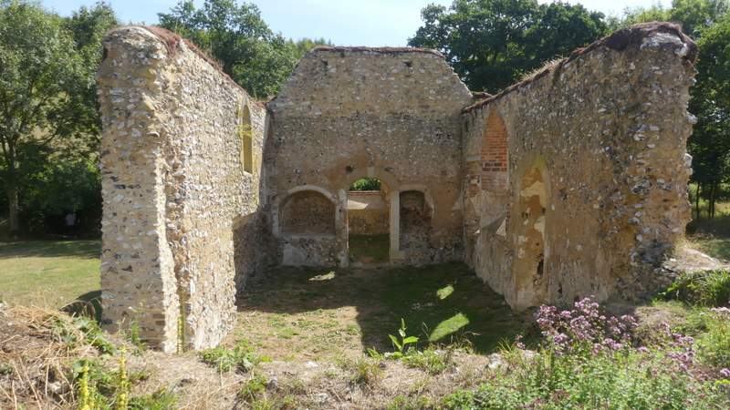
The old church of St James in Bix Bottom

The path from Valley End Farm
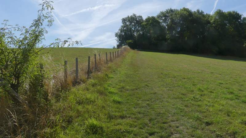
The path after I turned left, going up to Coney Burrow
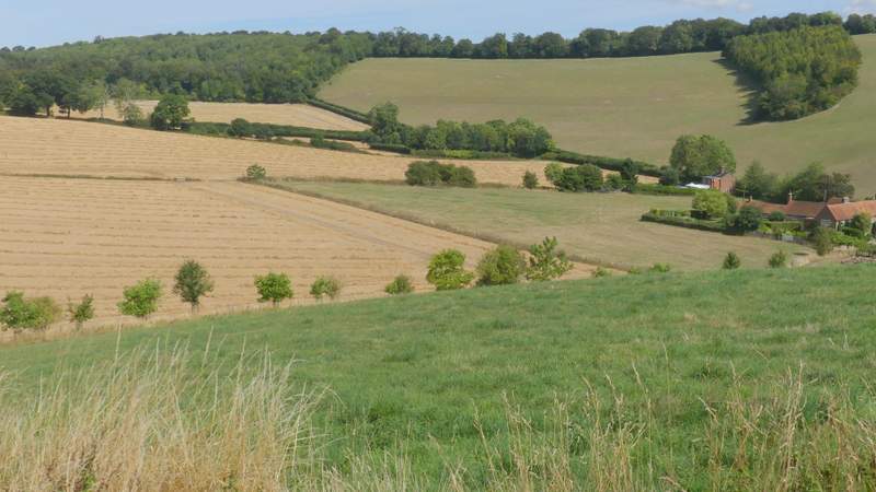
Looking back over Bix Bottom
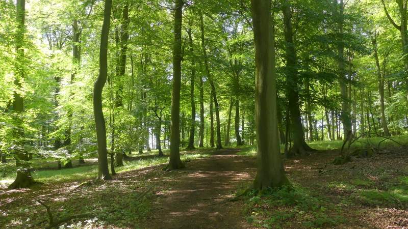
The path through Coney Burrow
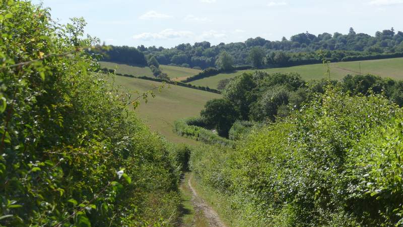
View left from Coney Burrow
The path through Coney Burrow
The path through Coney Burrow
The path continuing through Bushy Wood
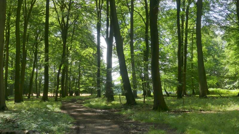
The path continuing through Bushy Wood
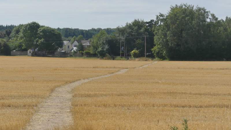
The path continuing from Bushy Wood to Bix