Pete's Walks - Sonning Common and Mapledurham (page 2 of 5)
If you are considering walking this route yourself, please see my disclaimer. You may also like to see these notes about the maps and GPX files.
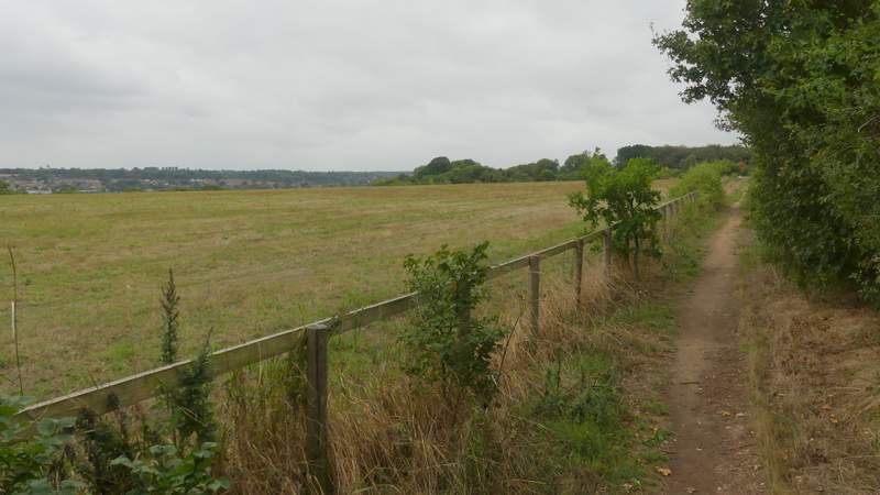
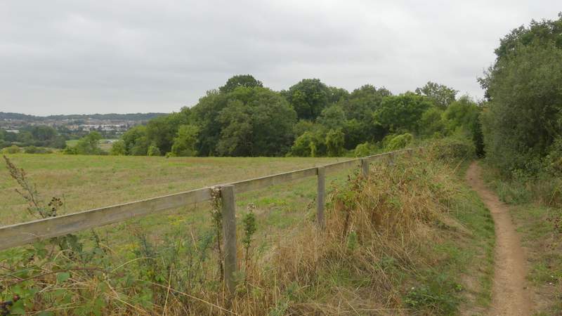
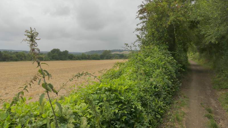
I followed the bridleway southwards for just over a mile. Most of the time I could see parts of Caversham golf course on either side of me. After half a mile or so, another bridleway came in from the right (though I didn't notice any waymarks or signs here). After another half mile or so, I turned right onto a footpath (there were waymarks here), this path soon running between a fence on my left and a hedgerow where there were plenty of ripe blackberries - the field on my left suddenly dropped away and I could see part of Reading on the other side of the river Thames. After several hundred yards the path turned left, following the edge of a wood on my right quite steeply downhill to the bottom of the Thames Valley.
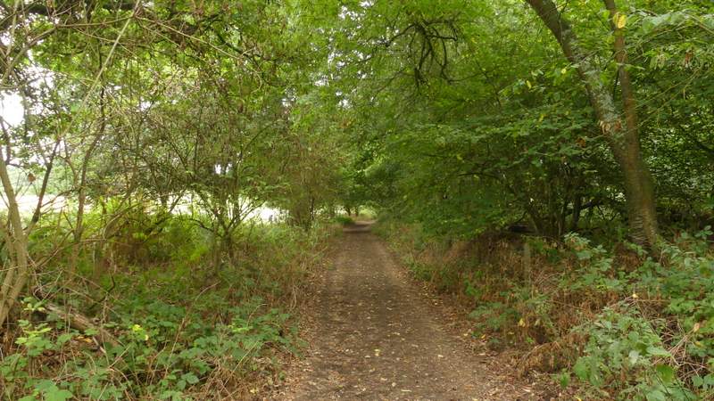
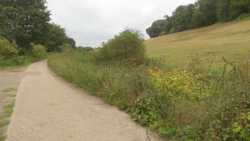
Near the start of the long bridleway south through Caversham Heath golf course
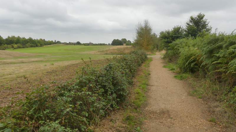
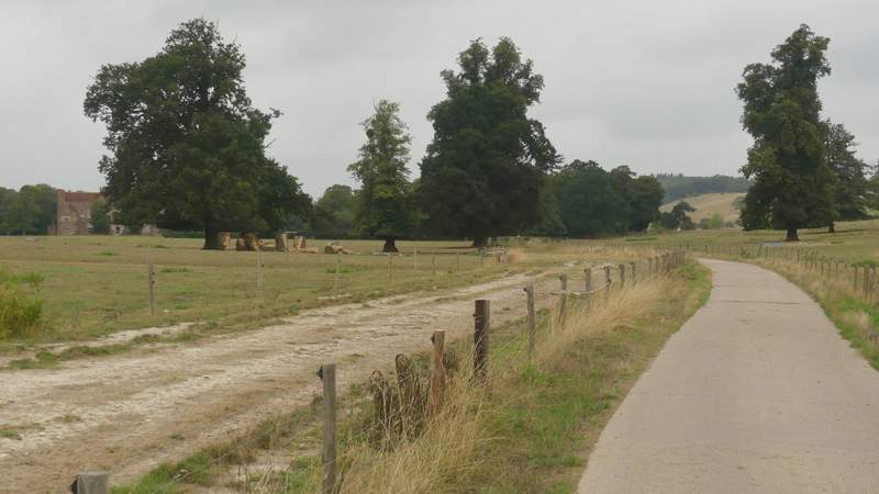
The long bridleway south through Caversham Heath golf course
The long bridleway south through Caversham Heath golf course
The long bridleway south through Caversham Heath golf course
The long bridleway south through Caversham Heath golf course
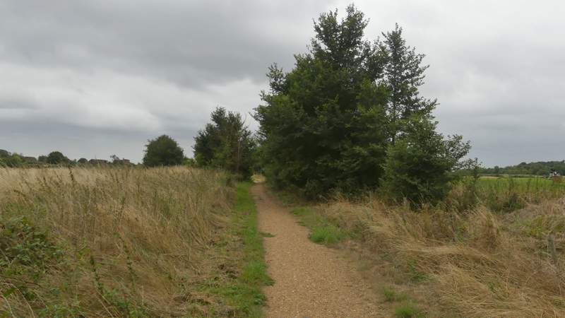
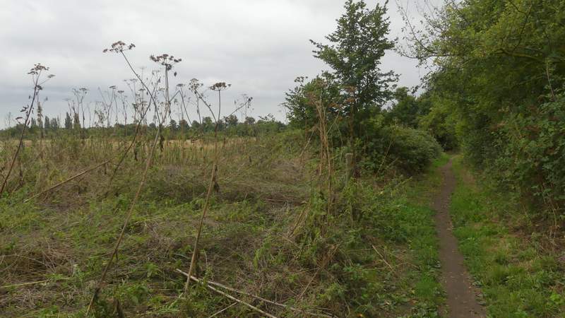
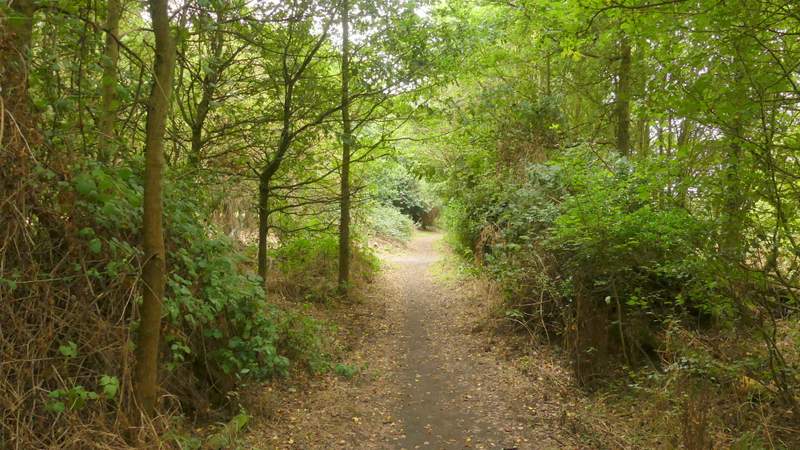
The footpath after I turned right from the bridleway
The footpath after I turned right from the bridleway

The footpath after I turned right from the bridleway
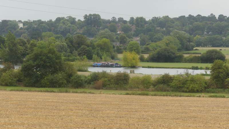
At the bottom of the slope (where I met a lady picking blackberries) I turned right along a bridleway, running parallel to the Thames, which at this point was about half a mile away on my left. I saw a number of large tents or marquees close to the river, presumably for the Reading Festival (I'd seen signs saying it was starting the next day). Initially I had the wood on my right, then the bridleway continued along a concrete farm track between hedges or fences. After about three-quarters of a mile I passed a white cottage at a bridleway junction - I went straight on here now with Mapledurham House in view ahead. It was still another three-quarters of a mile along the hard-surfaced track until I passed the grand house, and reached a lane just as it entered Mapledurham.
The bridleway along the Thames valley to Mapledurham
The bridleway along the Thames valley to Mapledurham
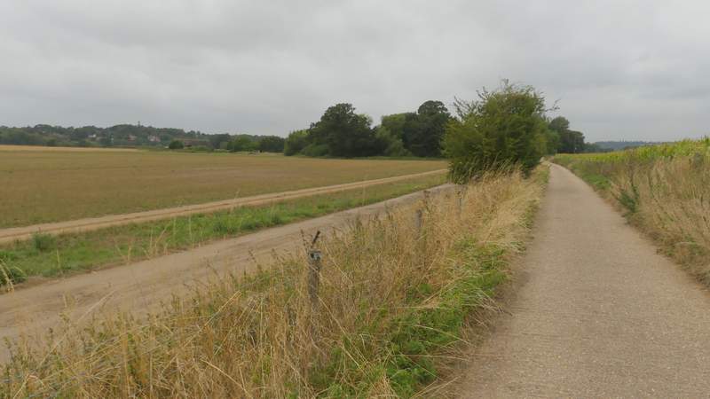
The bridleway along the Thames valley to Mapledurham
The bridleway along the Thames valley to Mapledurham
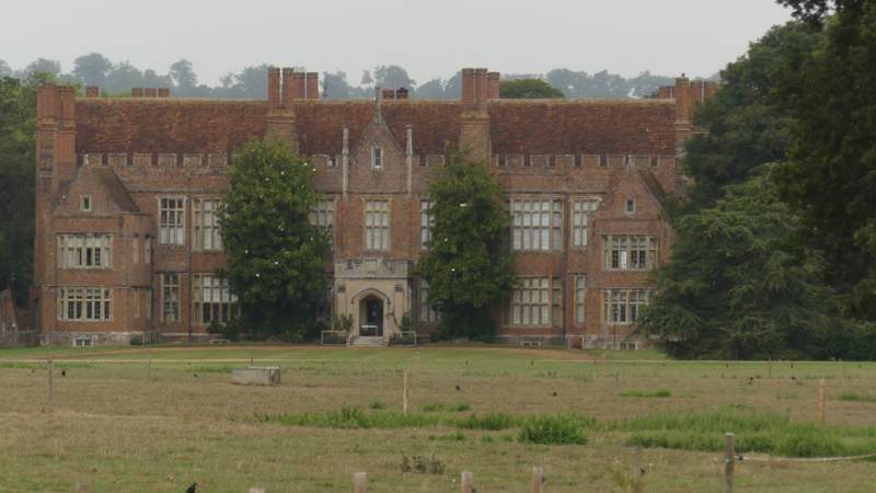
Zoomed-in shot of Mapledurham House
The bridleway along the Thames valley to Mapledurham
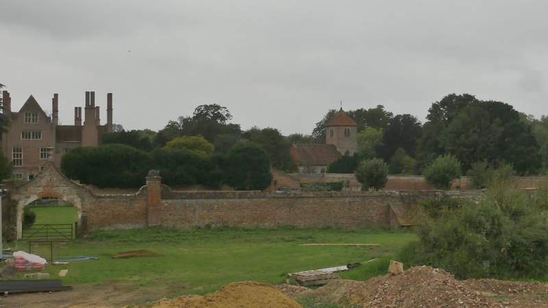
Looking left to Mapledurham House and Mapledurham church
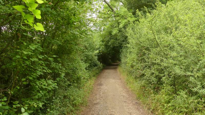
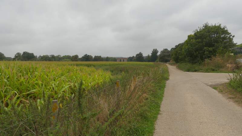
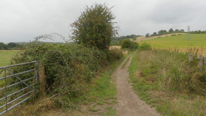
I decided not to take the quarter-mile detour into the village and back (I was concerned by a few spots of rain, and I could see there was rain ahead of me) but I'd recommend it to anyone who hasn't visited here before. I turned right instead, following the lane a short distance to another white cottage, where I took a bridleway going left (like the previous one, following the edge of the Thames Valley). The bridleway ran between hedges for several hundred yards, with occasional views towards the river (which was now about a quarter of a mile away to my left).
View from the edge of Mapledurham - the route continues between the hedges, left-to-right, then steeply up the faint green path to the top of the wood on the left
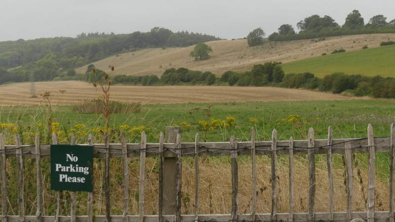
The bridleway from Mapleham
The bridleway from Mapleham
View left across the river Thames towards Purley-on-Thames, from the bridleway from Mapleham