Pete's Walks - Cadmore End, Radnage, Crowell Hill (page 1 of 6)
If you are considering walking this route yourself, please see my disclaimer. You may also like to see these notes about the maps and GPX files.
I did this circular walk of about 15 miles on Saturday, 15th September 2018. It was a repeat of a walk I did in July 2016, but done in the opposite (anti-clockwise) direction. That walk was in turn a repeat of a walk I did in October 2011, but with a slight variation near the start (so this variation came at the end of today's walk). I've shown this variation as Alternative 1 on my Google map.
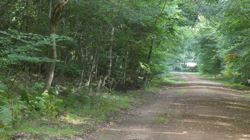
I parked beside a lane that starts almost opposite the school in Cadmore End (Grid Reference SU 783927) and started walking about 10.20am. I crossed the road to the school, turning right along the pavement, and then taking a path going left that soon followed a forestry track under the M40. After 100 yards or so, I took a short path forking right that just cut a corner from the forestry track. On returning to the track, I turned right, following the track which soon left Pound Wood only to almost immediately enter Leygrove's Wood. On the far side of this wood the track ended, but a path continued, running through a tree belt for several hundred yards to reach Barn Wood.
The forestry track in Pound Wood, just after passing under the M40
The short path cutting a corner from the forestry track
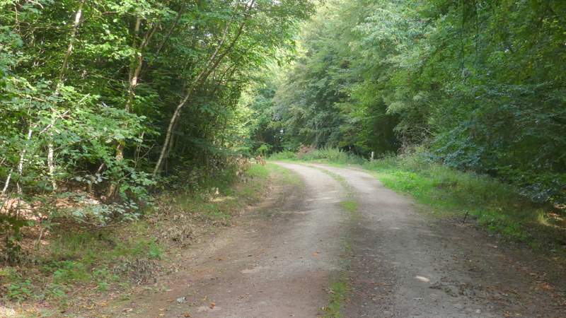
Back on the forestry track
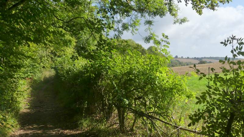
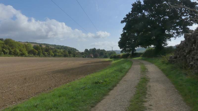
The track continuing in the small gap between Pound Wood and Leygrove's Wood
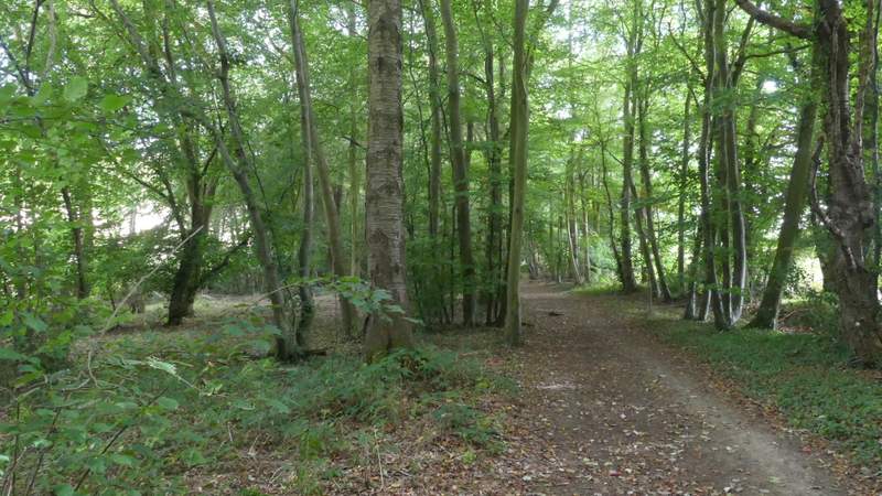
Leygrove's Wood
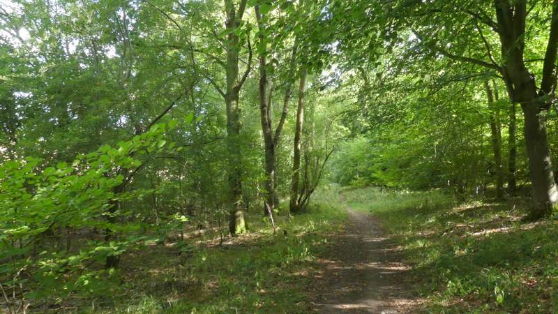
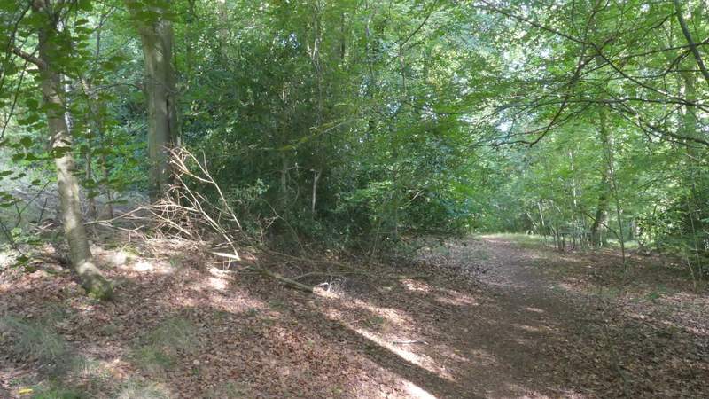
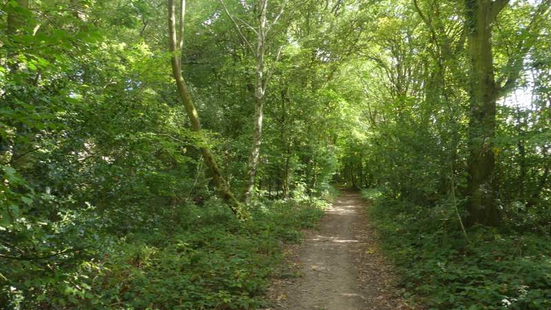
The tree belt between Leygrove's Wood and Barn Wood
The tree belt between Leygrove's Wood and Barn Wood
The tree belt between Leygrove's Wood and Barn Wood
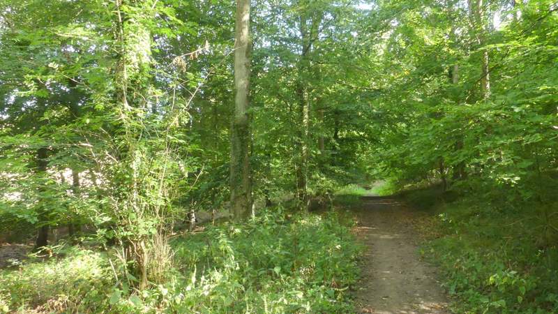
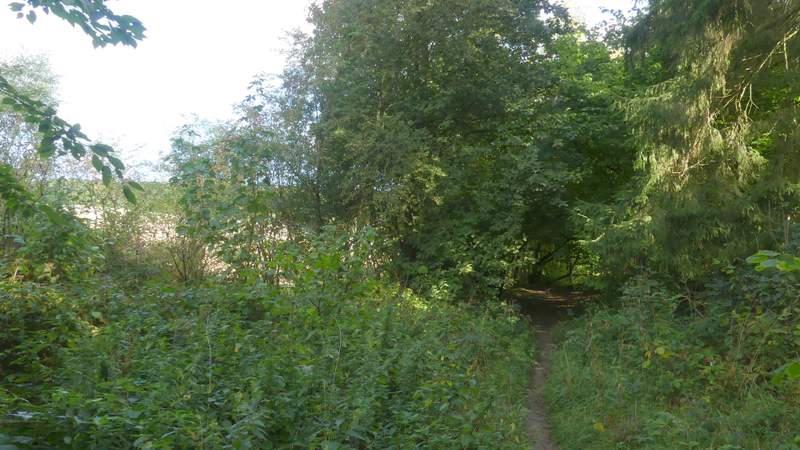
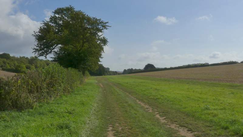
The path continued through Barn Wood, and then ran for a while between another tree belt and a hedge on my right. It then entered the tree belt, beyond which it went a few yards to reach a hedge gap and a junction with a bridleway. Here I turned right and followed a hedgerow on my left (I'm not actually sure which side of the hedge the bridleway runs, but it looks like more people use the side I took). After passing Fillingdon Farm, the bridleway joined a track, following a hedgerow on my right. This track ended at a road, where I went a few yards left to where it met the A40. I carefully crossed over and took a bridleway that followed another farm track from Ham Farm for several hundred yards to reach Bottom Wood (actually the first part of the wood may well be called something else as the OS map seems to show a boundary between it and the part of the wood that is labelled Bottom Wood on the map).
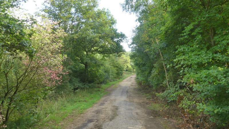
The path continuing from Barn Wood
The path continuing from Barn Wood
The path continuing from Barn Wood
The bridleway after I turned right, going towards Fillingdon Farm
The bridleway continuing from Fillingdon Farm
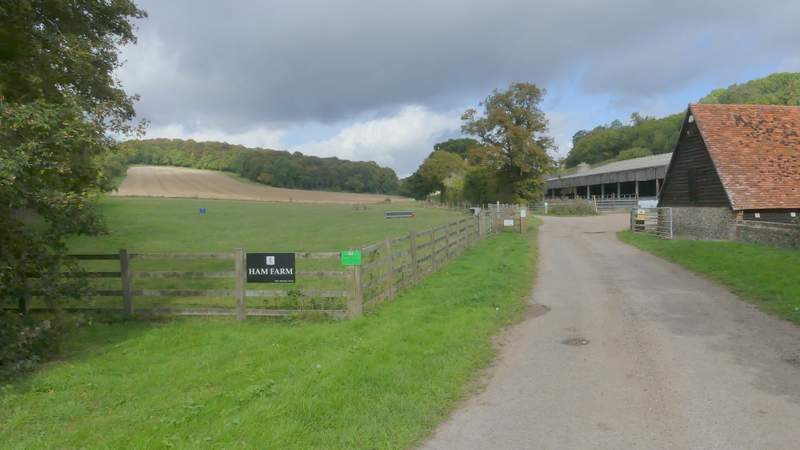
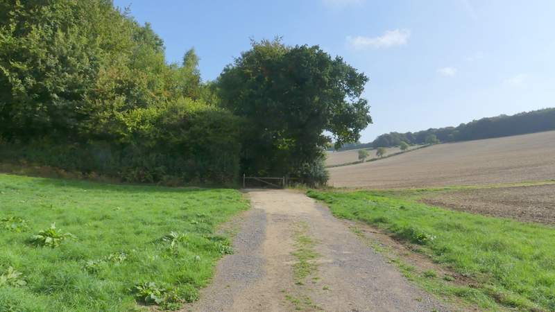
The start of the bridleway to Bottom Wood, after I crossed the A40
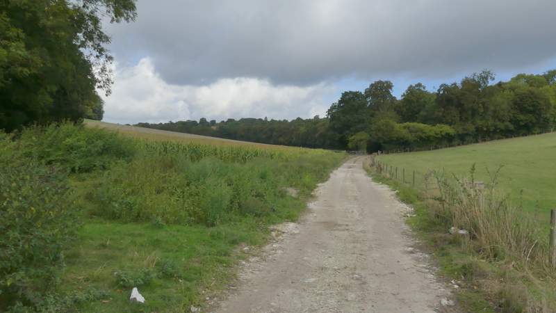
The bridleway to Bottom Wood