Pete's Walks - Watlington Hill, Swyncombe, Russell's Water (page 2 of 6)
If you are considering walking this route yourself, please see my disclaimer. You may also like to see these notes about the maps and GPX files.
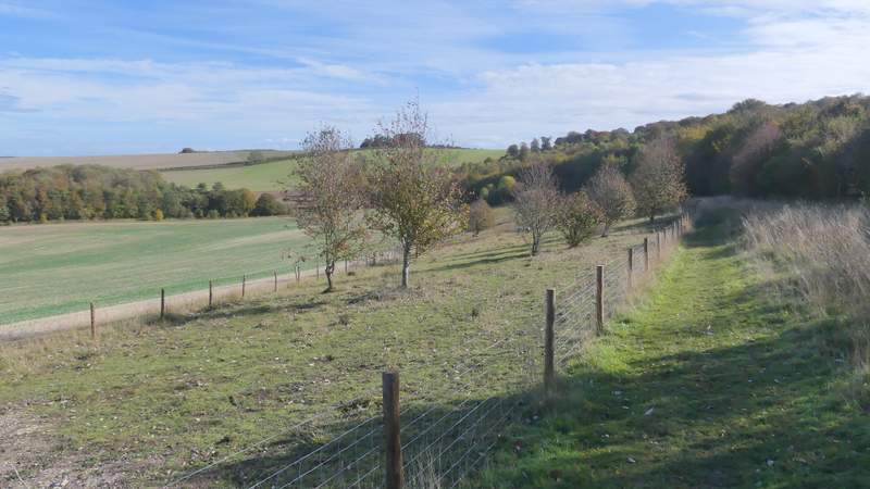
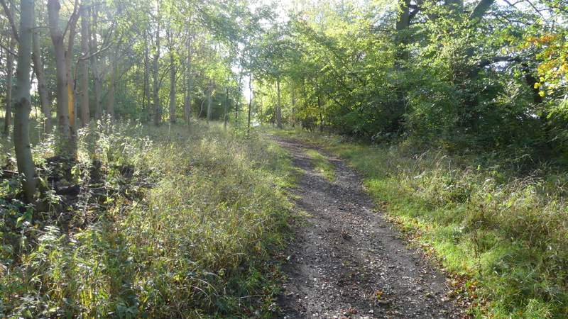
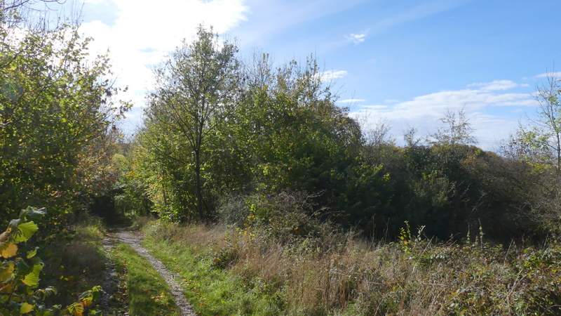
Across the lane the Ridgeway continued as a track between more hedges. After maybe a quarter of a mile the Ridgeway went left past North Farm, but I went straight on, following the same track as before. After almost another half a mile, I took a footpath on the left that after a few yards was climbing up the wooded slope of Swyncombe Downs, just inside the wood with occasional views out to my left - I always remember how consistent the gradient seems to be up this slope. I emerged into the open briefly at the top of the slope, before the path continued through more trees along the top of Swyncombe Downs (there was an earthwork called the Danish Intrenchment running parallel, just a few yards to my right. After a while the path left the trees, continuing through a more open area (there was a new fence on my right here, sheep were grazing on the other side, presumably as a measure to maintain the traditional chalk downland environment).
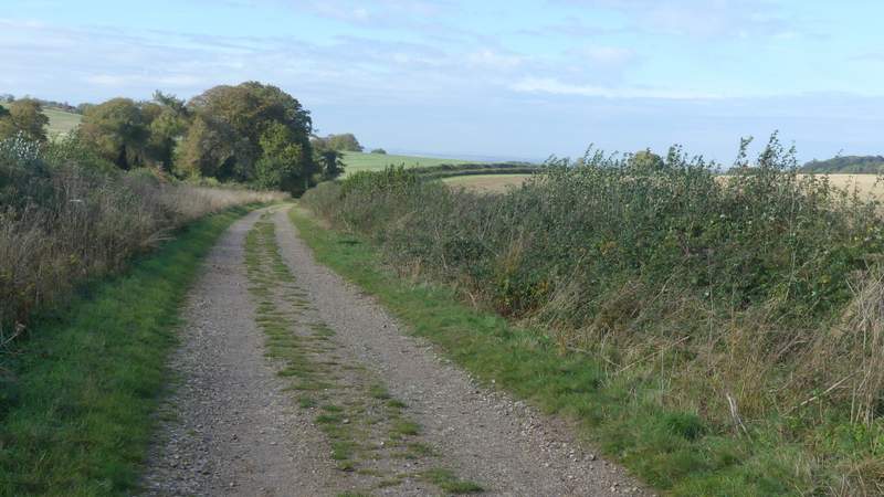
The Ridgeway, approaching North Farm
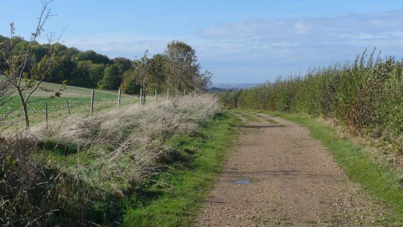
The track continuing towards Swyncombe Downs
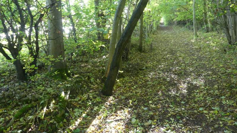
The path up Swyncombe Downs
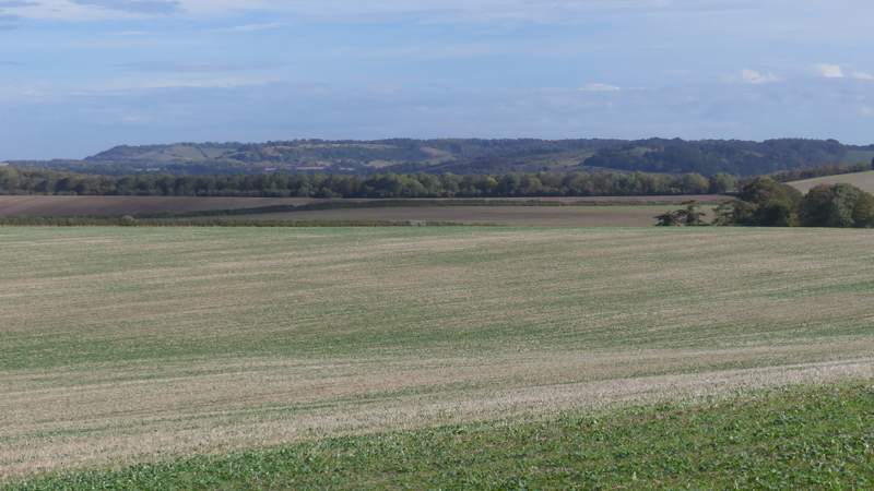
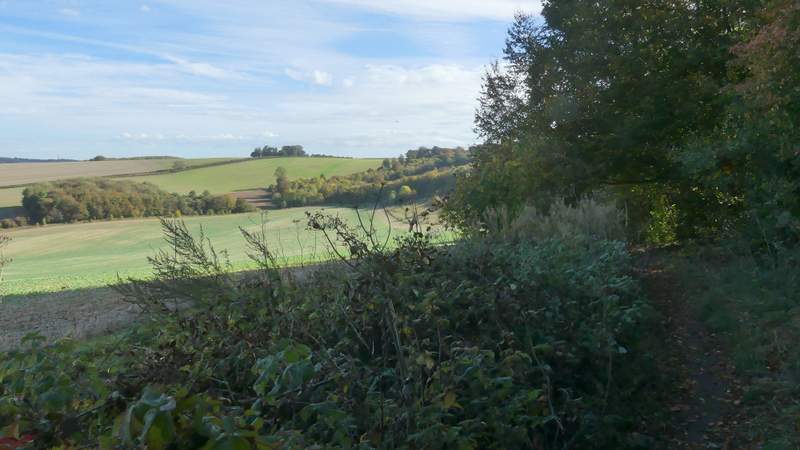
View right from the path up Swyncombe Downs, towards the Chilterns between Beacon Hill and Watlington Hill (right)
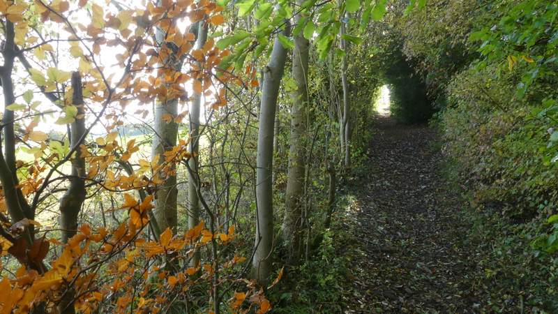
The path up Swyncombe Downs
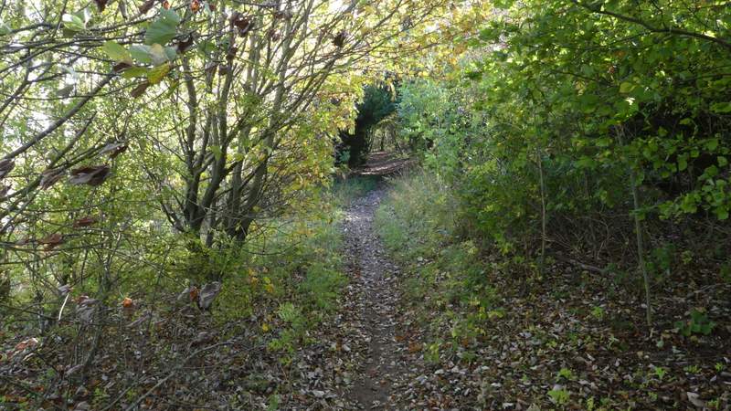
The path along Swyncombe Downs
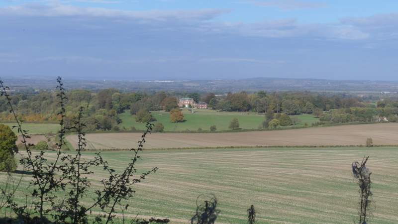
View back, towards Britwell Salome House
The path along Swyncombe Downs
The path along Swyncombe Downs
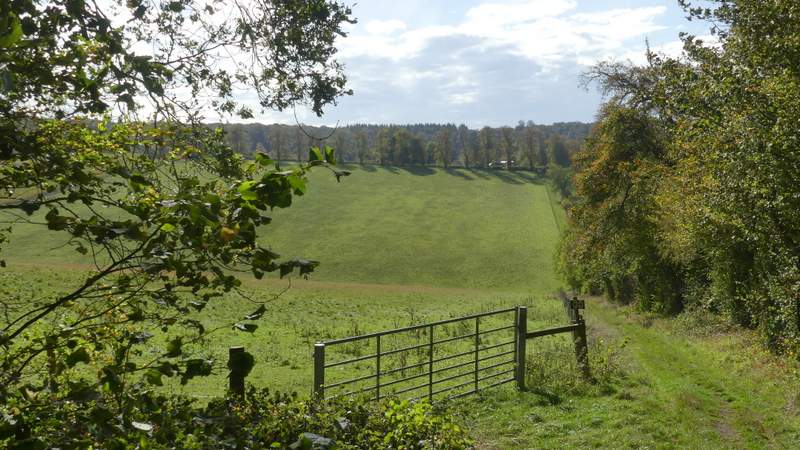
Eventually the path curved right into trees, soon ending where it met the Ridgeway coming up from North Farm. I turned right, and followed the Ridgeway as it continued over this end of Swyncombe Downs (I always forget there is a short steepish uphill here). On emerging from the woods here, the path drops down quite steeply into a valley and then climbs equally steeply up the other side to reach a gate and a lane junction. Here I went straight on down the short lane to the ancient church of St Botolph's, Swyncombe. The surfaced lane ends here, but a bridleway (named Ladies Walk on the OS map) continues on westward along a track, following a valley called Colliers Bottom. There was the park of Swyncombe House on my left initially. The Ridgeway turned left after a while, but I carried straight on along the track.
The Ridgeway, crossing the eastern end of Swyncombe Downs
The Ridgeway, crossing the eastern end of Swyncombe Downs
The Ridgeway crossing the valley between Swyncombe Downs and Swyncombe
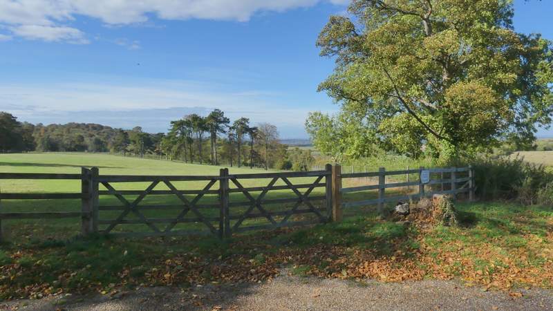
View right from the start of the lane to Swyncombe church/p>
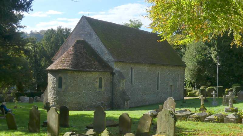
St Botolph's church, Swyncombe
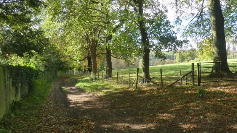
Ladies Walk, the bridleway going west from Swyncombe
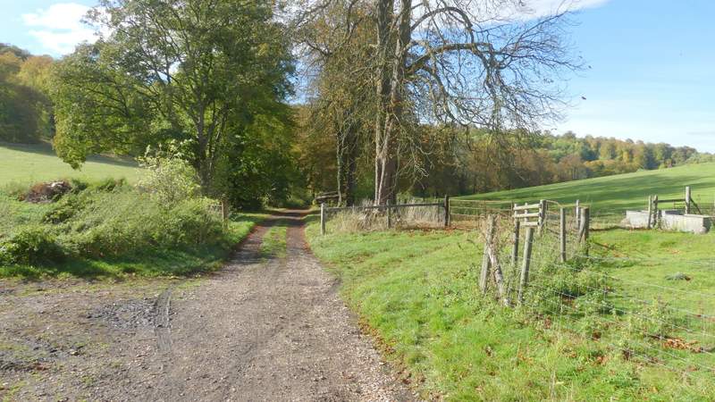
Ladies Walk, the bridleway going west from Swyncombe
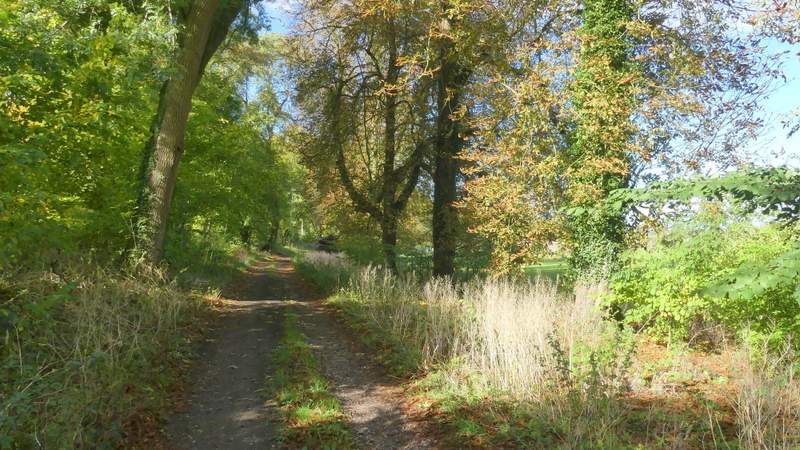
Ladies Walk, the bridleway going west from Swyncombe