Pete's Walks - Coombe Hill and Kingsash (page 1 of 6)
If you are considering walking this route yourself, please see my disclaimer. You may also like to see these notes about the maps and GPX files.
I did this circular walk of about 11.2 miles on Sunday, 21st October 2018. It was a repeat of walk I've done a few times before, most recently in December 2017.
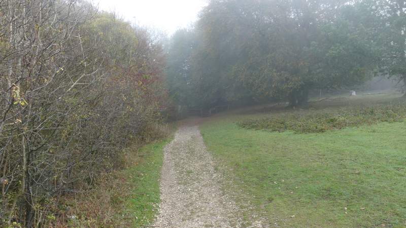
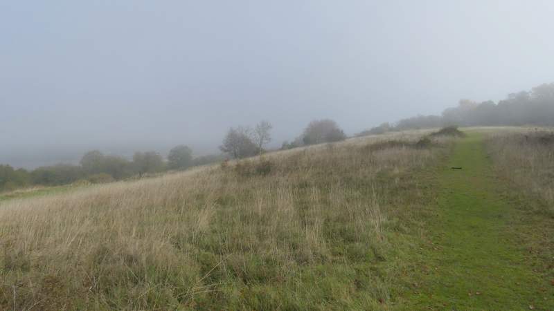
I parked at the Coombe Hill car park (Grid Reference SP 852063), and started walking about 10.25. From the gate by the car park entrance, I crossed the middle of a flat area of grass and bushes. After going through a belt of trees, I stopped to put on my raincoat as it was a bit cooler than I'd expected. As I did so, I also realised that it was getting foggy. As I followed a broad band of grass towards the Boer War monument on top of Coombe Hill, I could see the fog swirling around it. By the time I reached it, all the views out over the Vale of Aylesbury were completely lost in the fog. Disappointed (it had been fine during my half-hour drive and when I left the car park!), I turned right to follow the Ridgeway national trail (white acorn signs) towards Bacombe Hill. After a few hundred yards I had to go through gates either side of a bridleway in a sunken lane or 'hollow way', my path then running between bushes or small trees for some distance. At a junction where the Ridgeway forked left, I went straight on, going through a gate and almost immediately forking right at a vague fork in the path. I carried on along the top of Bacombe Hill, the fog still hiding what are normally extensive views from here. After a few hundred yards I reached tumulus or burial mound (the hill drops more steeply after this) where I turned right (another path goes right just before the tumulus, the two paths joining up just after entering some trees).
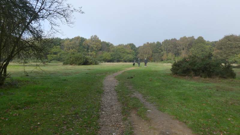
Near the start of the path from the car park on Coombe Hill - it seems quite sunny here!
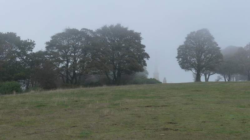
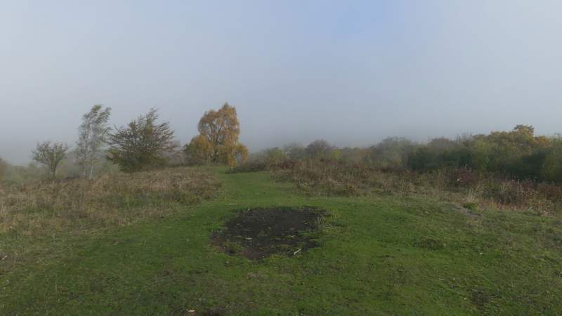
Approaching the Boer War monument on Coombe Hill, the fog comes rolling in ...
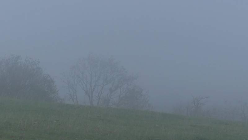
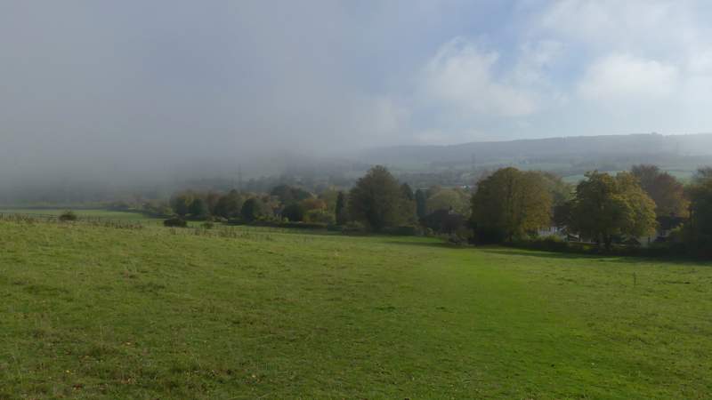
... and totally obscures the views out over the Vale of Aylesbury!
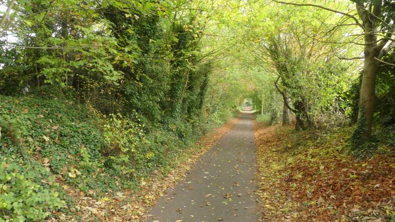
The start of the section of the Ridgeway heading to Bacombe Hill
The Ridgeway heading to Bacombe Hill, just before crossing the bridleway in the sunken lane
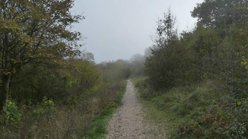
The Ridgeway heading to Bacombe Hill
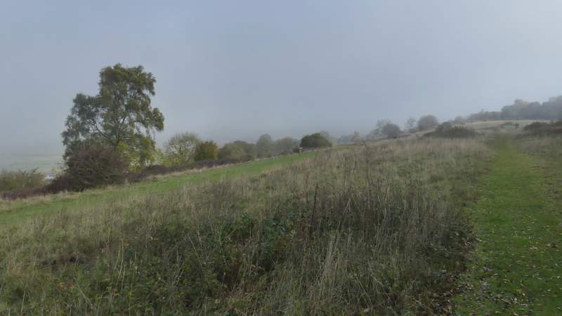
The path on top of Bacombe Hill
The path on top of Bacombe Hill
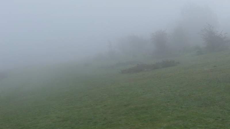
The tumulus on Bacombe Hill (where I turned right), with the fog obscuring the view over Wendover to Wendover Woods
The path dropped downhill to reach a bridleway. Across this I went over a stile and followed a path that went slightly left as it descended through a grassy field (normally a paddock, but there were a few young cattle here once). I only had half the normal view in front of me, the left half was all fog. I then turned left and followed Bacombe Lane for about half a mile to reach the edge of Wendover. Here I turned right along a road for a few yards, before going down Chapel Lane on the other side. I followed it to where it crossed a stream, when I turned right along a path with the stream on my left. I soon came to a path junction, where I turned left, crossing a footbridge over the stream and continuing a short distance between garden boundaries.
The path descending to Bacombe Lane, the fog obscuring half the view ahead
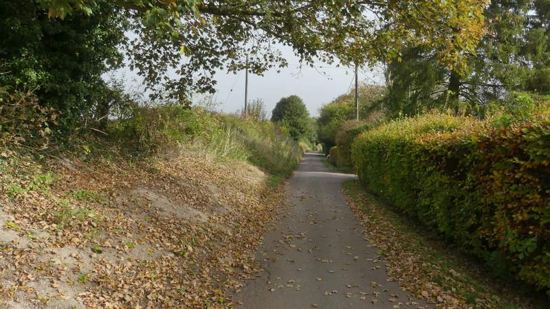
Bacombe Lane
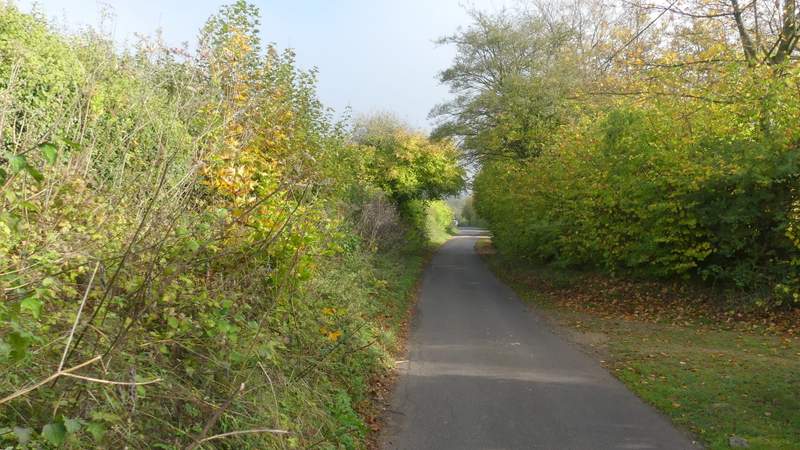
Bacombe Lane
Chapel Lane, Wendover
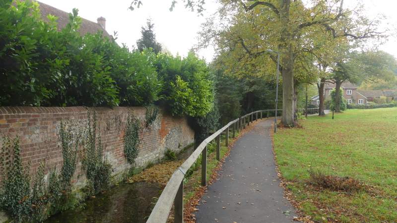
The path beside the stream after I turned right from Chapel lane
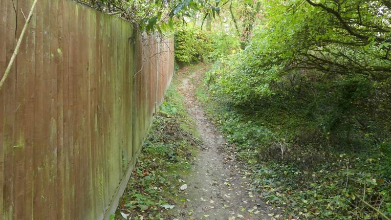
The path after I turned left and crossed the stream