Pete's Walks - Malvern Hills walk (page 1 of 6)
If you are considering walking this route yourself, please see my disclaimer. You may also like to see these notes about the maps and GPX files.
I did this circular walk of roughly 11 miles on Wednesday, 31st October 2018, while I was enjoying a short break based at Ludlow, in south Shropshire.
The Malvern Hills are a single ridge of high ground running almost exactly north-south for about 9 miles, much of it forming the boundary between Herefordshire and Worcestershire. The highest point is Worcestershire Beacon at just under 1400 feet above sea level. As the hills are just this single ridge, rising steeply many hundreds of feet from the lower lying areas either side, there are wonderful far-reaching views in almost every direction as you progress along the top of the ridge. It is possible to walk the entire ridge (about 9.5 miles) but I would have to have arranged a taxi back to the start if I'd done that - also, as it's about 10 years since I walked anywhere other than the gentle Chiltern Hills, I wasn't sure how I'd cope with these higher (and more rugged) hills. So I decided to start at the British Camp car park about halfway along the ridge, then walk north over the higher section of the ridge to the northernmost hill (appropriately named North Hill). Rather than retrace my steps over the numerous ups and downs of the ridge, I would then follow lower-level paths along the eastern flank of the hills back to the car park, hopefully saving some energy so that I could then continue south over British Camp and possibly one or two more hills, before again following lower level paths back north to my starting point. In the event, I didn't go any further south than British Camp due to the threat of rain.
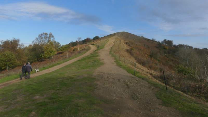
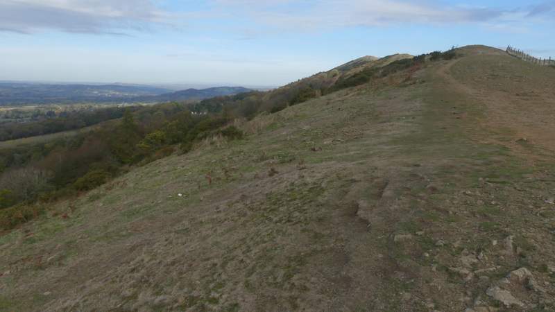
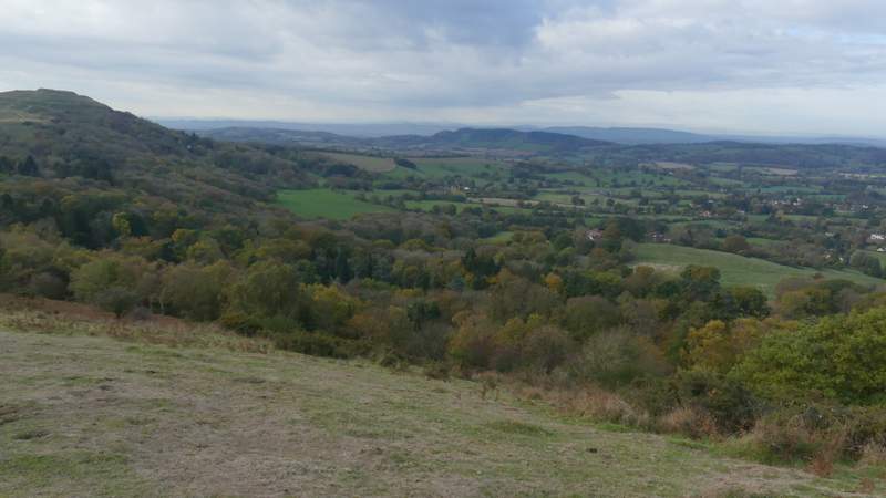
I parked at the British Camp (or Herefordshire Beacon, the hill's other name) car park (Grid Reference SO 763404), and started walking about 10am. I crossed the main road and went down a minor road opposite the car park. Just after passing a hotel on the right, I turned right along a path going up a small bank (another path forked slightly right from the road at the same point). The path soon levelled out, and I got my first glimpse of the hills I would be walking over as I headed north. I ignored the first path going left, but took the second one, so that I passed the far side of a hedge-ringed property. I was now following the top of the Malvern ridge, and was soon stopping frequently to admire the distant views to east and west, as well as north and south along the ridge. The first hill I went other apparently has two tops, Black Hill south and Black Hill north - the first wasn't really distinct, but the latter was more obvious as it was immediately followed by a short and steepish descent.
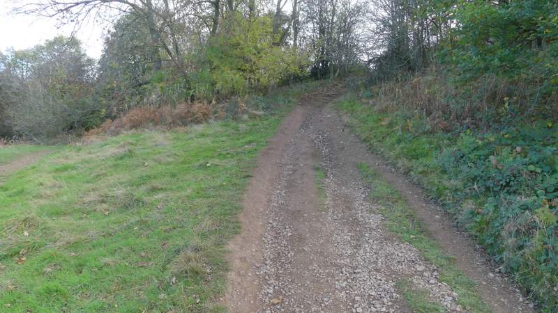
The start of the path from just past the hotel
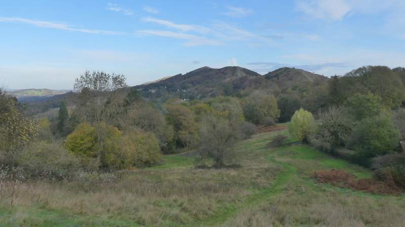
My first view of the hills I would be crossing northwards (I'm looking left here, I didn't follow this path)
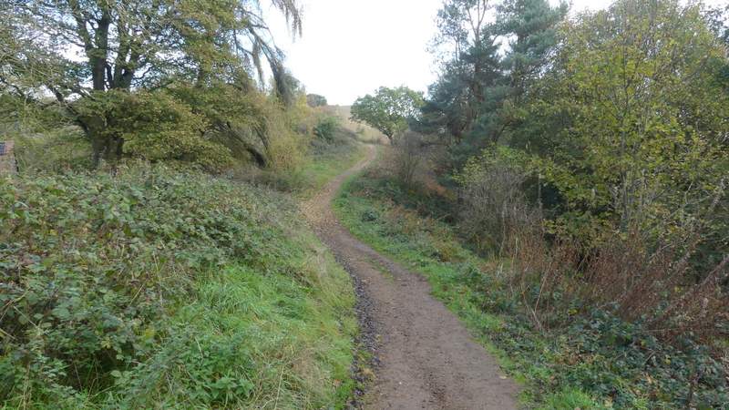
This was taken shortly after I turned left along the ridge, heading north
Looking left, and slightly back
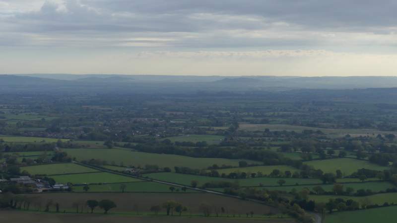
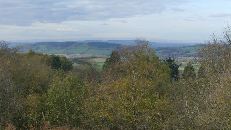
Looking right (east)
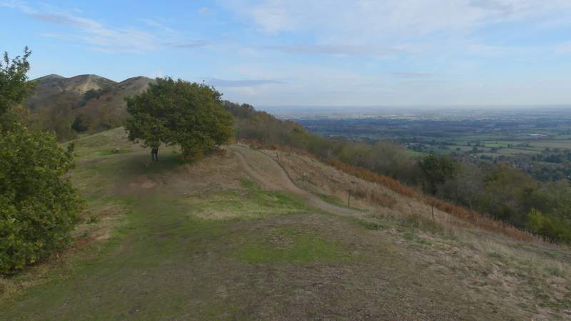
Near the top of Black Hill south
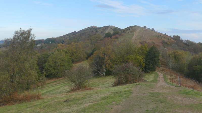
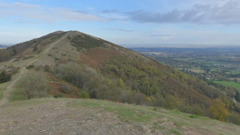
The ridge continuing from Black Hill south to Black hill north (I think the next hills you can see are Pinnacle Hill and Worcestershire Beacon)
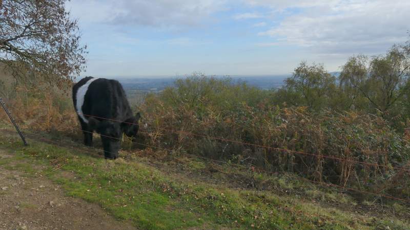
When I took this photo, I didn't notice that the Belted Galloway cow had two heads!
The path up Black Hill north
The path up Black Hill north
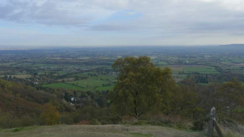
Looking southwest from Black Hill north
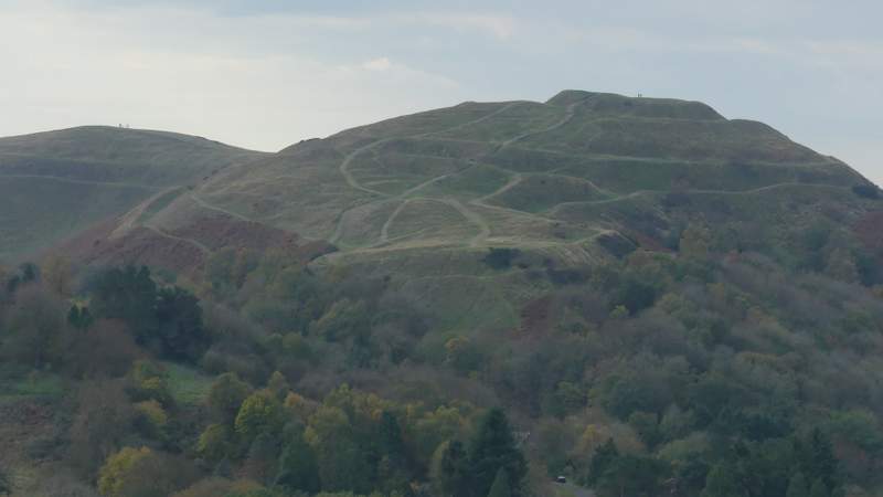
Zoomed-in shoot of British Camp, looking south from Black Hill north (the Iron Age Hill fort extends as far as the hill on the left)
Looking north from Black Hill north, towards Pinnacle Hill
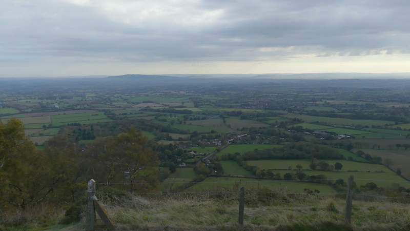
Looking northeast from Black Hill north
Looking east from Black Hill north