Pete's Walks - Maidensgrove, Nuffield, Shepherd's Green (page 1 of 6)
If you are considering walking this route yourself, please see my disclaimer. You may also like to see these notes about the maps and GPX files.
Google map of the walkDownload GPX file of the walk
I did this circular walk of roughly 14.8 miles on Saturday, 8th December 2018. It was a repeat of a walk I did in August 2017 but this time I walked it in the opposite (anti-clockwise) direction. There were a few paths that I would be walking in this direction for the first time.
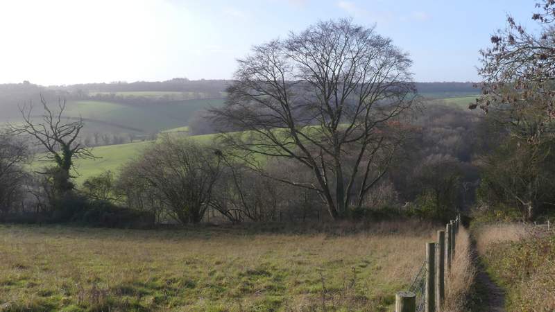
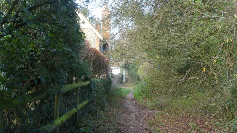
I parked beside the lane that crosses Maidensgrove Common (Grid Reference SU 718886), and started walking about 9.45am (I'd manage to leave home about 30 minutes earlier than usual as I was slightly concerned about finishing the walk before it got dark). I walked beside the lane to where it turned right towards Russell's Water (so I had the larger part of the common on my right), and continued beside the lane along the edge of the common before joining the lane just before reaching a property on the right. I soon passed the Five Horseshoes pub on my left, and after another hundred yards or so I took a footpath on the left (at the end of a wooden fence). The path ran between hedges and fences, descending gently, then at the end of a field on my left it went down a few 'steps' and turned right between bushes. It soon turned left, and now dropped downhill very steeply into a valley.
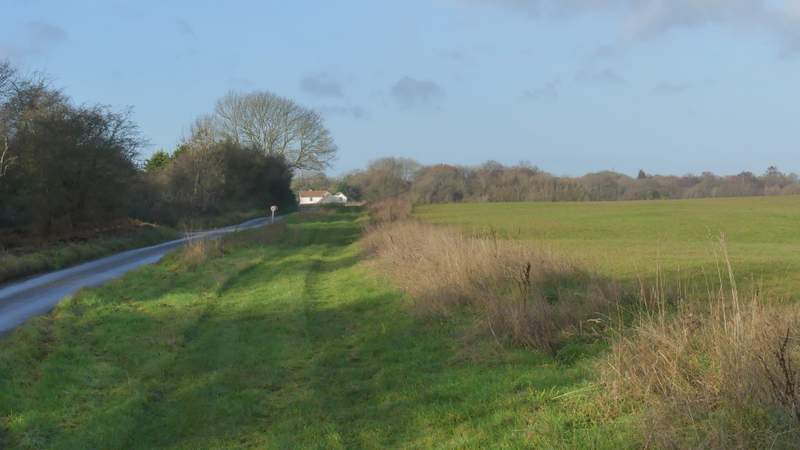
The path beside the lane along the edge of Maidensgrove Common
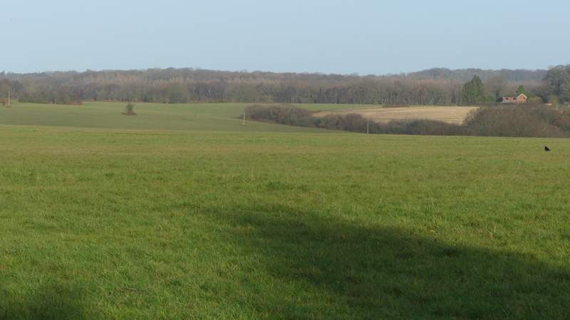
View across Maidensgrove Common
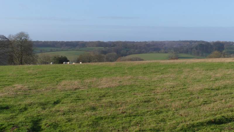
View left from the lane alongside Maidensgrove Common
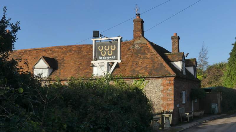
The Five Horseshoes pub at Maidensgrove Common
The path descending from near the Five Horsehoes
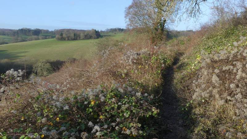
The path descending from near the Five Horsehoes
The path descending from near the Five Horsehoes
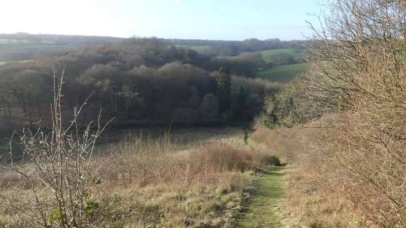
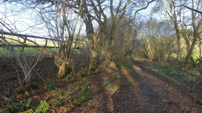
In the valley bottom I turned right along a bridleway, that I'd be following for about a mile to Cookley Green. It ran between bushes or hedgerows along the valley bottom, heading roughly northwest and almost imperceptibly rising uphill. I went straight on where another bridleway went left, and again straight on shortly afterwards where another bridleway went right, uphill to Russell's Water.
The bridleway to Cookley Green, after I turned right in the valley bottom
The bridleway to Cookley Green
The bridleway to Cookley Green - this is at a junction where another bridleway goes right, up to Russell's Water
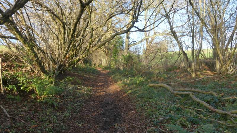
The bridleway to Cookley Green
The bridleway to Cookley Green
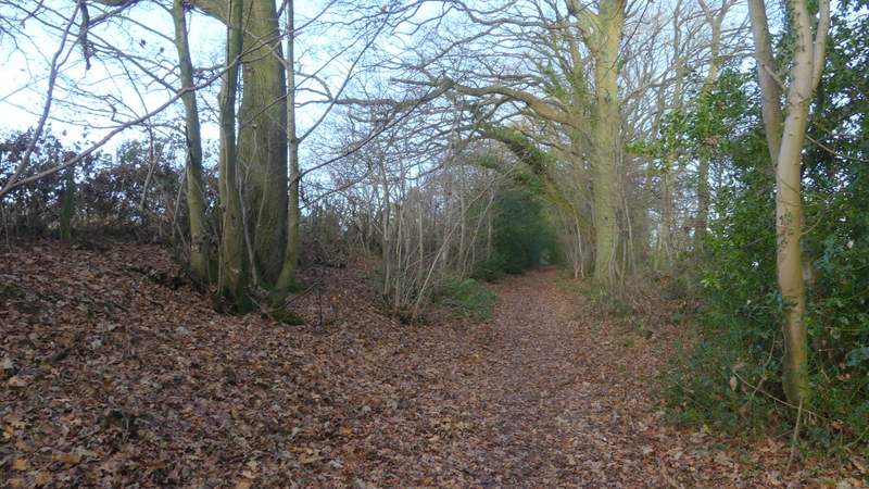
The bridleway as it reaches Cookley Green
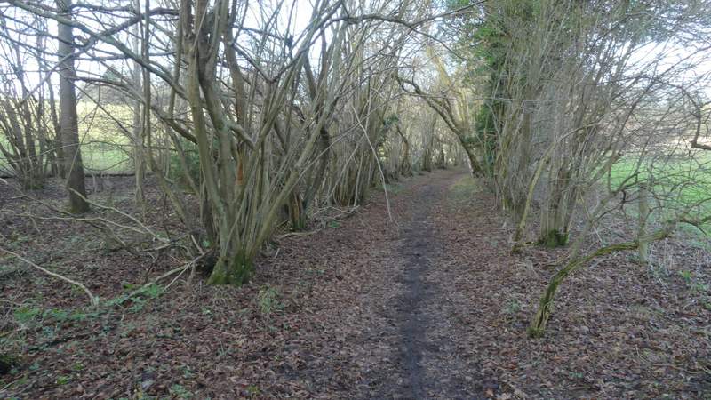
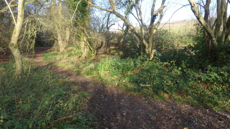
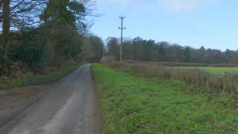
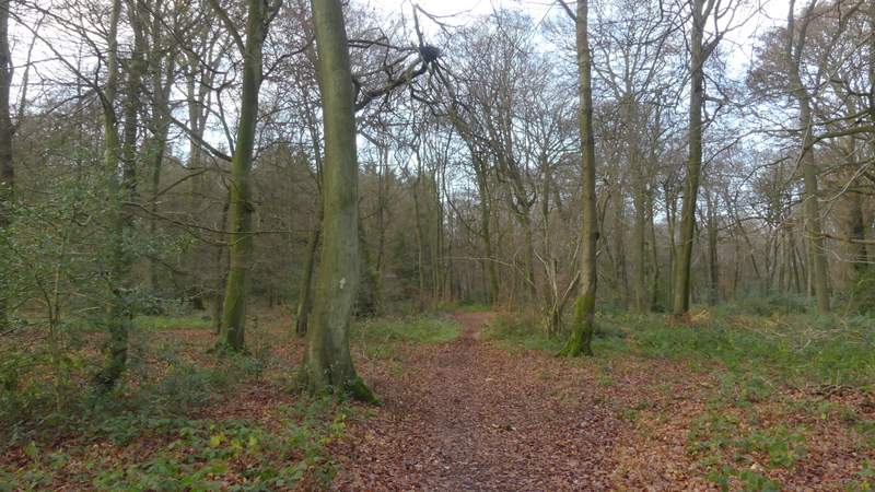
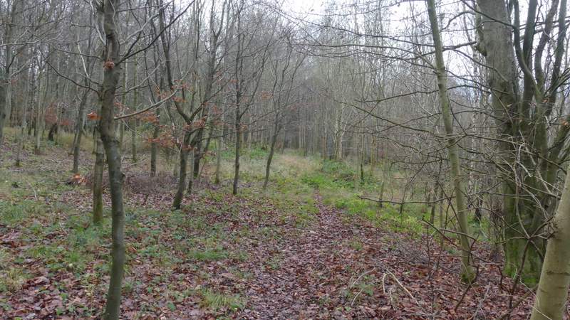
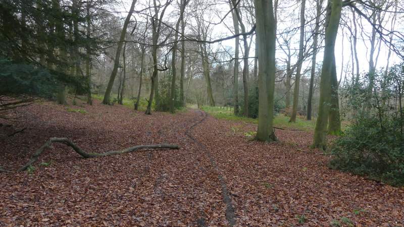
On eventually reaching Cookley Green, I crossed a road and continued along the right edge of the village green, then continued straight on down a lane, passing a cricket pitch on my right. A few yards past where a bridleway went left, along the edge of Church Wood, I took a footpath that went half-left through that wood. After four or five hundred yards, just after a permissive path went left along a track, I turned left along a footpath. It wasn't long before this merged with the track I'd just seen. I then soon passed a staggered crossroads of paths, and then crossed a small gap between Church Wood and Haycroft Wood where there was a view to my right over Swyncombe.

The green at Cookley Green
The lane out of Cookley Green
The path through Church Wood
The footpath after I turned left in Church Wood
The path after it merges with a track