Pete's Walks - Christmas Common, Russell's Water, Nuffield (page 3 of 6)
If you are considering walking this route yourself, please see my disclaimer. You may also like to see these notes about the maps and GPX files.
I turned left along the drive, immediately leaving the hamlet of Magpies and continuing through a wood. After two or three hundred yards I took a footpath on the left, indicated by a white arrow on a tree. I followed the path through the wood, guided by more white arrows. On leaving the wood, the path turned right along a drive, following it into the village of Nettlebed. At the end of this drive, I turned left along a road. which soon came to a T-junction where I turned right to follow the A4130 through the centre of the village. I then took a path on the left, immediately after Nettlebed church. This path started between a fence and a wall on the right, but soon joined a drive (heading to Howberrywood) which I followed for almost half a mile.
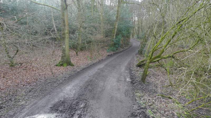
The drive between Magpies and Nettlebed
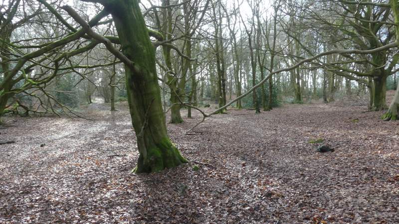
The wood after I turned left from the drive
The wood after I turned left from the drive
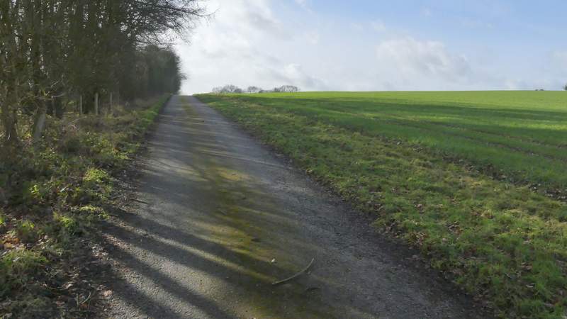
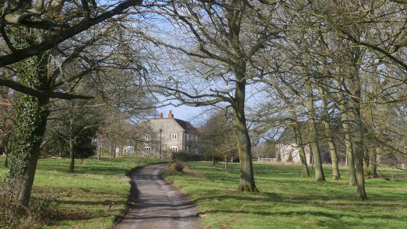
The drive leading into Nettlebed
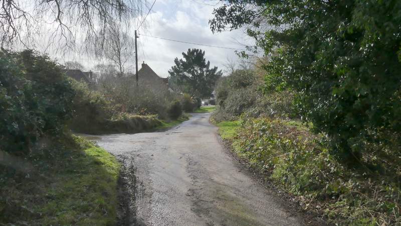
The drive leading into Nettlebed
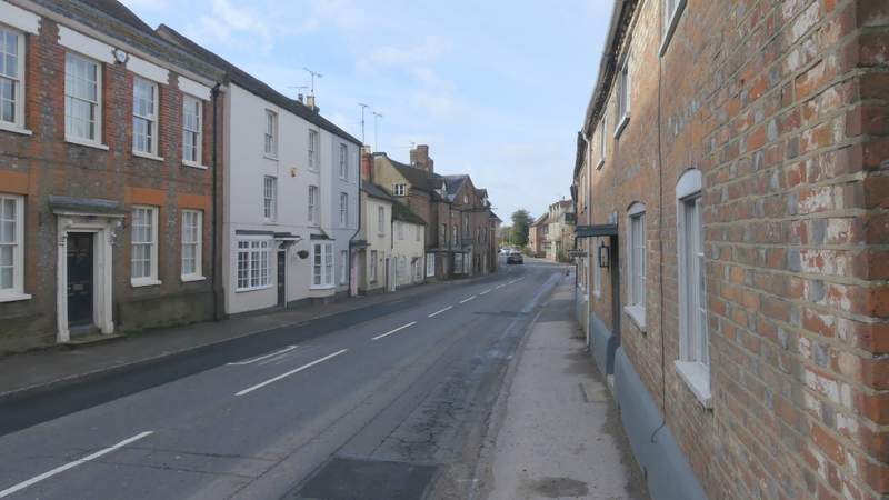
Nettlebed
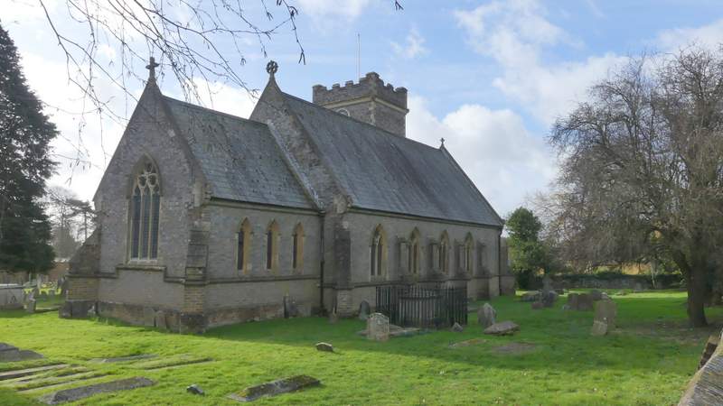
Nettlebed church
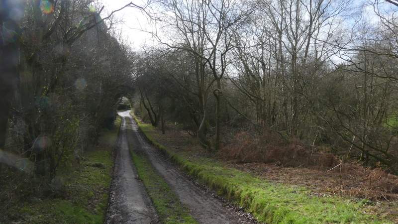
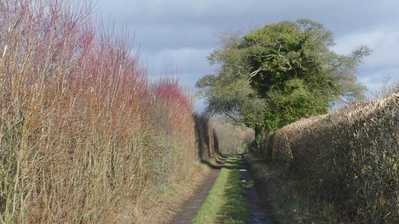
The drive between Nettlebed and Howberrywood
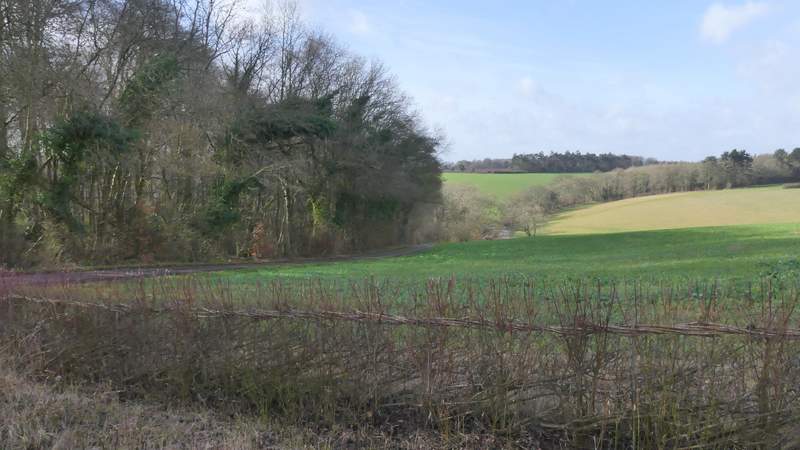
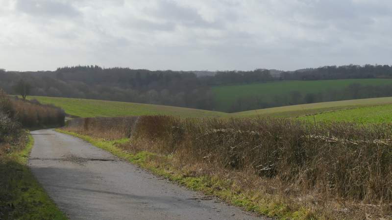
View from the drive between Nettlebed and Howberrywood
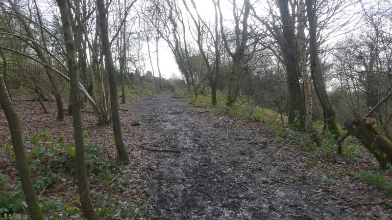
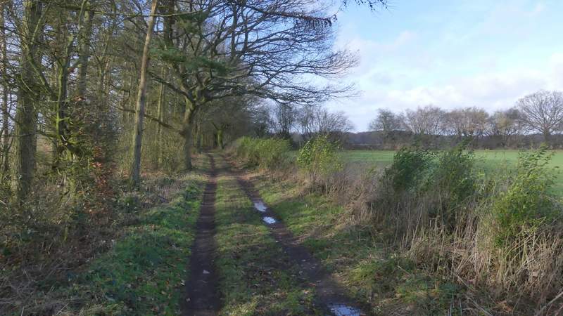
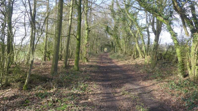
When the drive reached Swan Wood and turned sharply right, I went straight on for a couple of yards into the wood, and turned right along a bridleway named Deadman's Lane, which ran just inside the wood, parallel to the drive (a few feet to my right). The bridleway dropped downhill, emerging from the wood at the bottom of the slope, where it rejoined the drive which had turned left and now led back uphill with the wood on my left (I've just noticed this is marked Devil's Hill on the OS map - there are some worrying names around here!). Eventually the drive turned right (or possibly goes right at a T-junction of drives) and I soon passed the single property at Howberrywood. The bridleway now continued as a hedge-lined track (heading to Nuffield), soon turning right and then quickly turning left. There was then a straight section of about half a mile, first with Top copse on my left and large arable fields over the hedge on my right, and then along an avenue with mature tree on either side that overhung the bridleway.
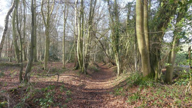
Deadman's Lane
Deadman's Lane
The drive between Nettlebed and Howberrywood
Approaching Howberrywood
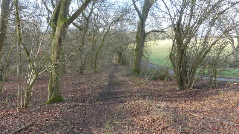
The bridleway from Howberrywood to Nuffield
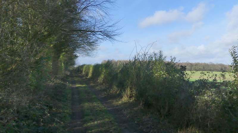
The bridleway from Howberrywood to Nuffield
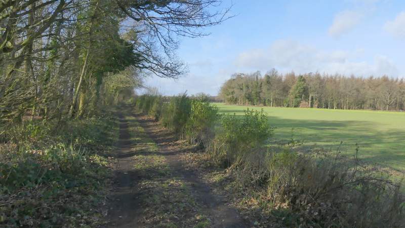
The bridleway from Howberrywood to Nuffield
The bridleway from Howberrywood to Nuffield
The bridleway from Howberrywood to Nuffield