Pete's Walks - Stoke Row, Nettlebed, Woodhouse Farm (page 1 of 7)
If you are considering walking this route yourself, please see my disclaimer. You may also like to see these notes about the maps and GPX files.
Google map of the walkDownload GPX file of the walk
I did this circular walk of about 15.9 miles on Sunday, 17th February 2019. It was a new route for me, with almost half of it on paths I'd not walked before. I was inspired to do this walk when, during last week's walk, I passed a path junction near Nettlebed and thought "That looks like an interesting path, I must walk it some time!". So one evening this week, I studied the OS map and managed to link that path with a number of other ones I'd not walked before that took me to Stoke Row, where I decided I'd start the walk. Going the other way I managed to find a few more new paths east of Nettlebed. I then managed to make the route up to 15-16 miles by following the Ridgeway along Grim's Ditch, then going south to Woodhouse Farm and Hailey, before following a long byway and then Cox's Lane (another byway) to return to Stoke Row.
This is now the second route where I've used Woodhouse Farm as part of the title. It is just a farm, but there are no settlements anywhere near it that I could use to give an idea where the route goes (I think it's actually in the parish of Crowmarsh).
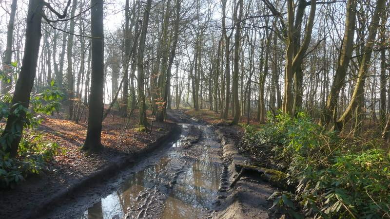
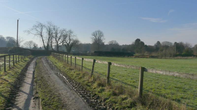
I parked in Stoke Row by the Maharajah's Well (Grid Reference SU 679841) and started walking about 9.30am (I'd managed to set off from home almost an hour earlier than usual). I walked along the road (with the well on my right) and turned left into a side street immediately before the village church. After two or three hundred yards, I turned left down an alley (before the last pair of houses). This continued as a path along the southern edge of Stoke Row, soon entering a small wood and eventually reaching Busgrove Lane. On the other side of the lane I continued through Common Wood (there was a sign next to the lane, I think I'd previously thought this was part of Busgrove Wood). The path through the trees was quite straight, the way marked by white arrows as usual. After about a quarter of a mile I reached a waymark post, where I took another path going right - somewhere as I followed this short path I moved from Common Wood into Busgrove Wood. On reaching a track I turned right - this was initially very muddy indeed, which wasn't too encouraging, but fortunately this would prove to be the muddiest bit of the whole route. Beyond the wood the track continued for another quarter of a mile or so between fields until it crossed Nash Lane.
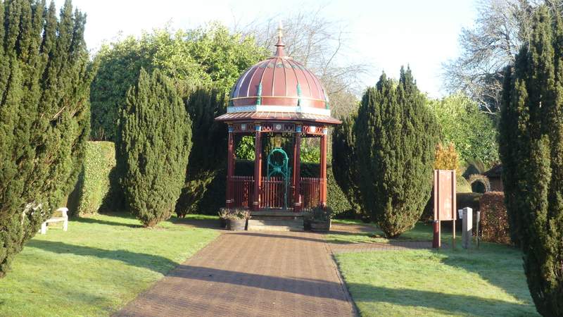
The Maharajah's Well at Stoke Row
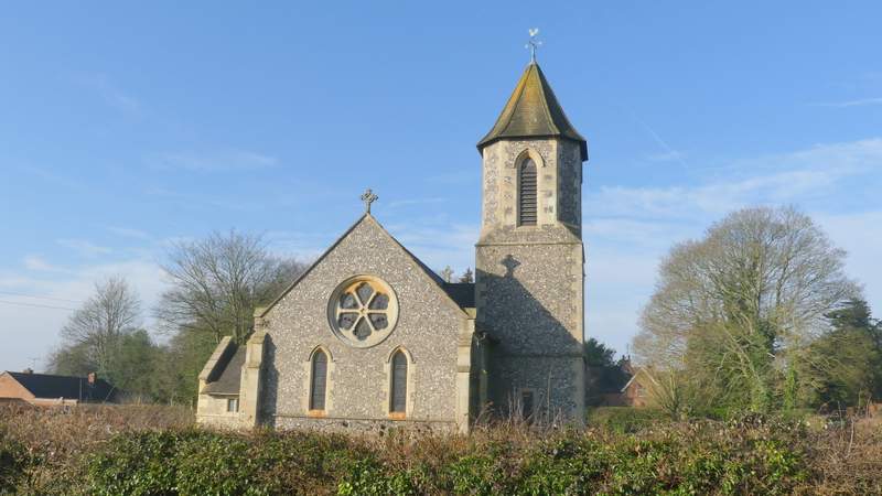
Stoke Row church
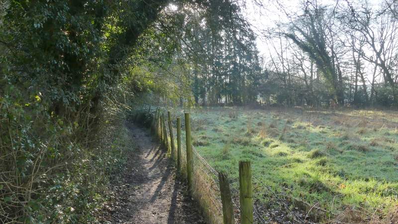
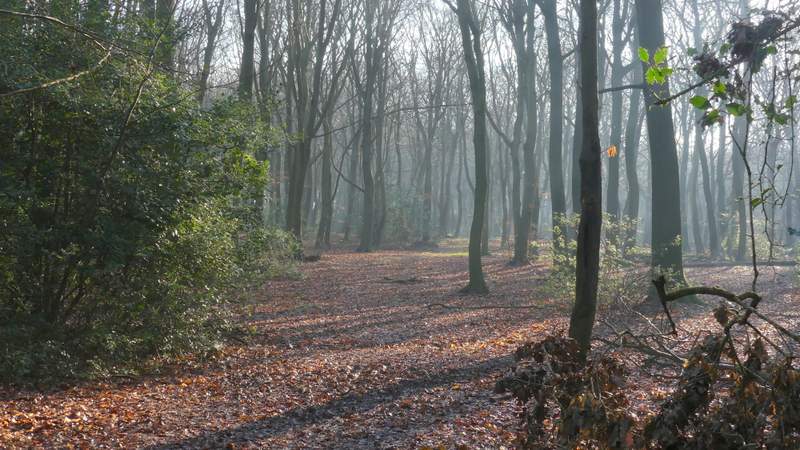
The path along the southern edge of Stoke Row, going to Busgrove Lane
The path along the southern edge of Stoke Row, going to Busgrove Lane
The path after crossing Busgrove Lane, in Common Wood (I previously thought this was part of Busgrove Wood)
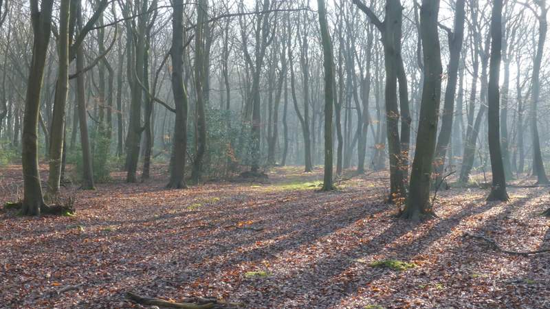
The path continuing through Common Wood
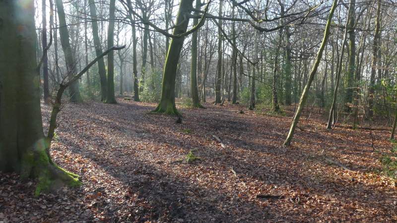
The path after I turned right in Common Wood (this path soon enters Busgrove Wood)
The track after I turned right in Busgrove Wood
The track continuing from Busgrove Wood
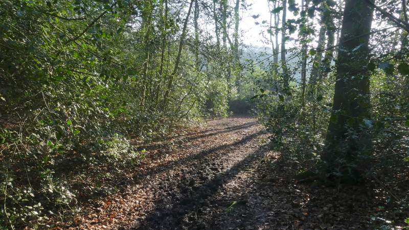
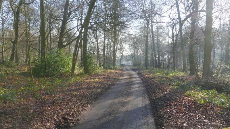
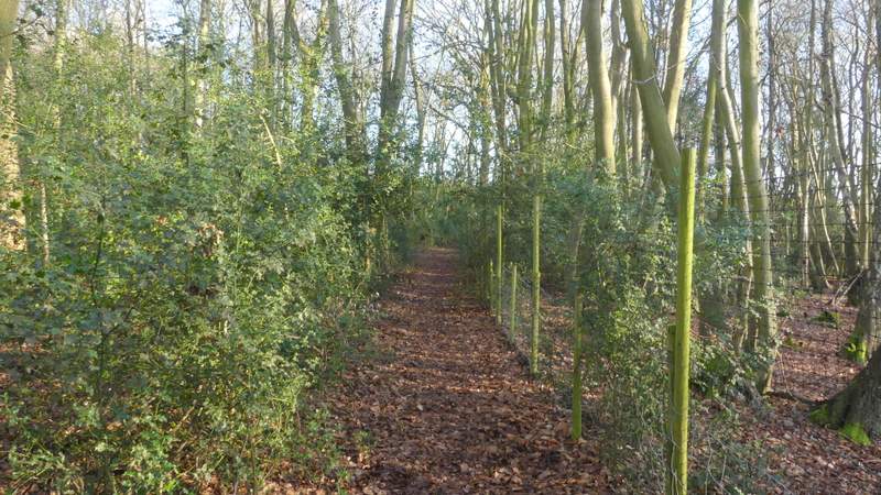
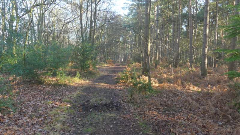
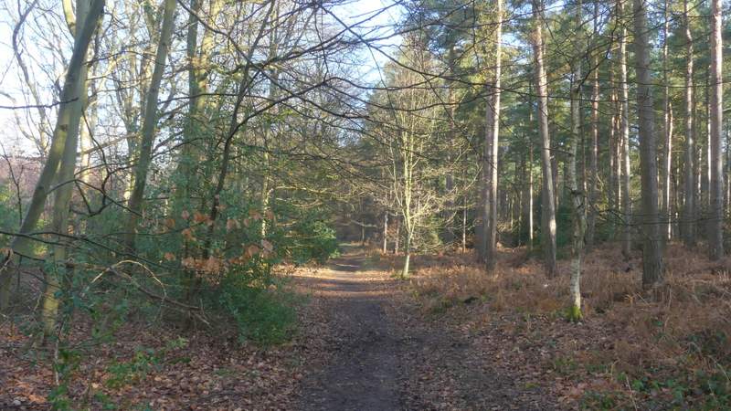
I turned left along Nash Lane, entering what was new territory for me. The lane initially ran between holly hedges, passing a few properties, then continued through a wood, where I saw a Buzzard (I'd already heard a Red Kite as I'd been putting om my walking boots in Stoke Row). The lane ended at a T-junction, where I continued along a path that started beside a garden fence to my right. It continued along a fence through a wood called Burnt Platt (although that may only be the name of the central part of a number of woods, but there are no other names on the OS map). Shortly after the fence ended, the path turned slightly left - for a while there were conifers on my right with a thin belt of beech and other deciduous trees on my left beyond which was a plantation of young conifers. After a while the path crossed a drive, then after about another hundred yards or so I turned sharply right onto a bridleway.
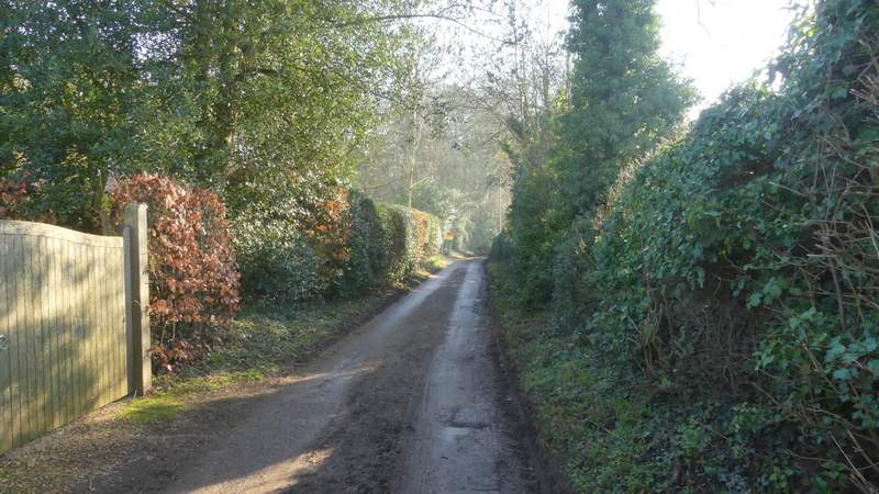
Nash Lane
Nash Lane
The path through Burnt Platt (at least that's the nearest name on the OS map)
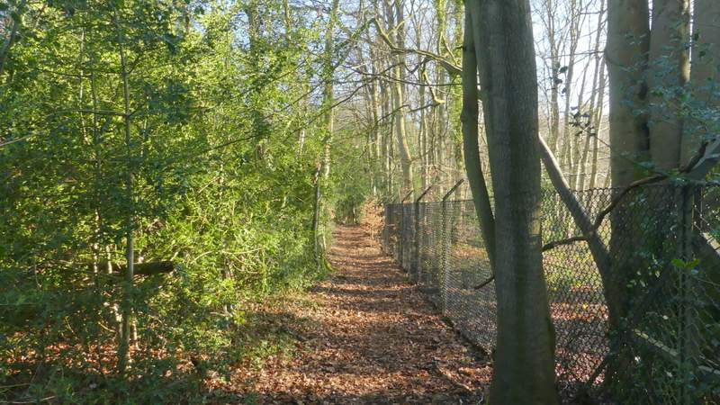
The path through Burnt Platt
The path through Burnt Platt
The path through Burnt Platt (just after crossing the drive
The bridleway after I turned sharply right in Burnt Platt