Pete's Walks - Hambleden, Fawley, Stonor (page 3 of 7)
If you are considering walking this route yourself, please see my disclaimer. You may also like to see these notes about the maps and GPX files.
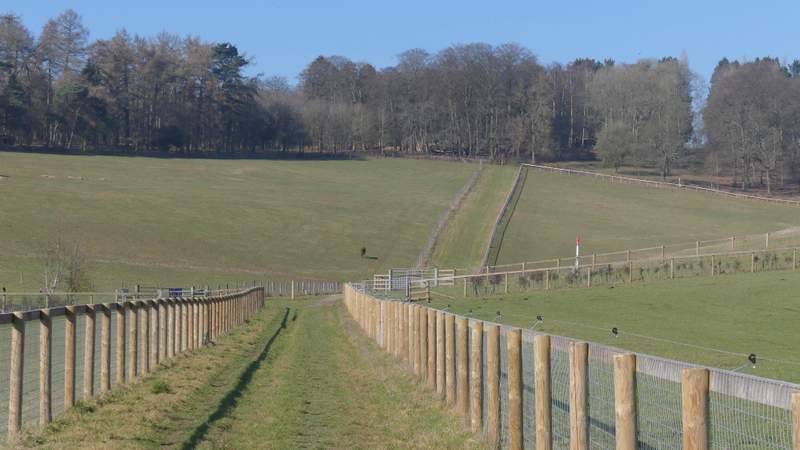
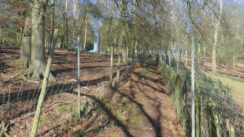
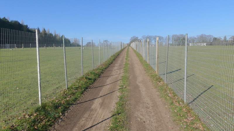
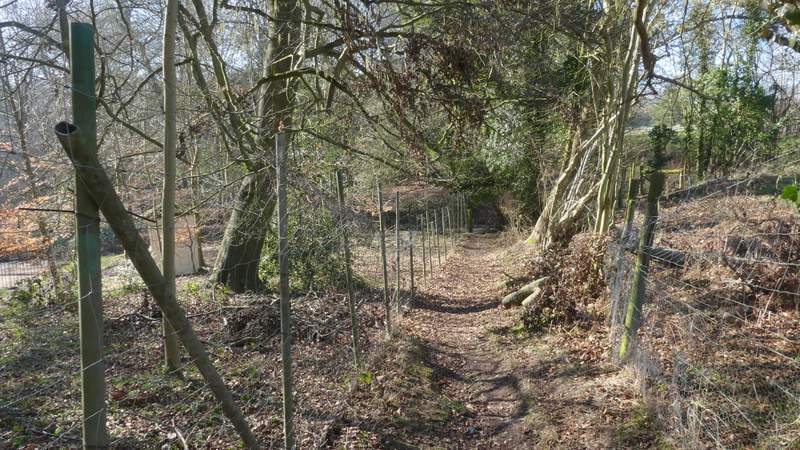
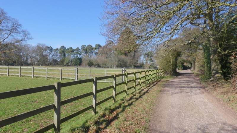
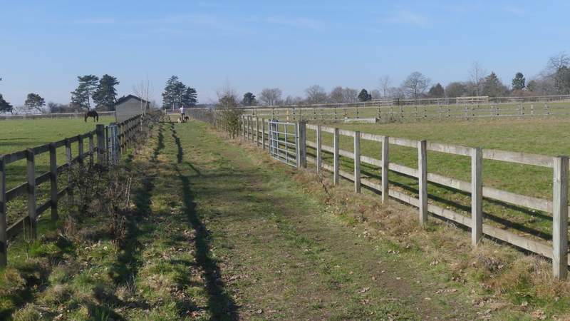
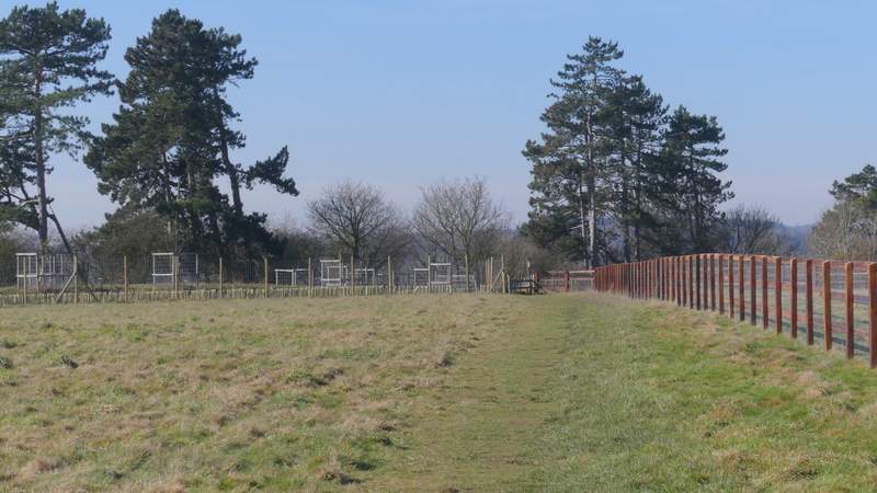
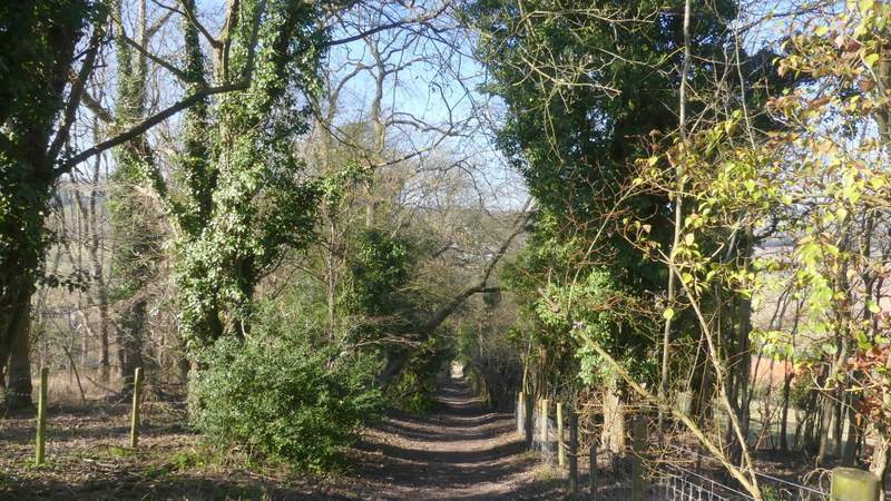
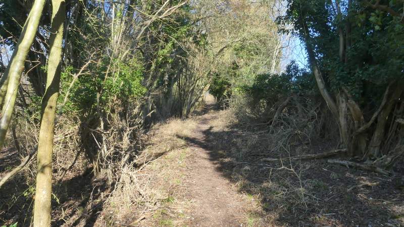
The path ended at a path junction by a stile in a hedge next to a road. Instead of going over the stile, I turned sharply right onto a path similar to the one I'd just been on, as it ran for several hundred yards between widely-spaced paddock fences either side. This area looks most peculiar on the OS map - on either side of this path it shows field boundaries radiating out from central points on either side, dividing what are now just two huge paddocks into triangular segments. After some distance the path rose uphill to reach a wood where, as in Rowe Wood, there were high wire fences either side of the path (to protect me from the wild animals or vice versa). Beyond the wood, the path continued along a broad track, with large enclosures either side containing some of the animals of the wildlife sanctuary (there were some exotic deer and three Llamas in those on my left, with mainly Alpacas in the one on my right). I went straight on through a gate, then turned left at a path junction a short way further on. This ran between a wire fence on my left and a hedge, soon dropping slightly downhill to reach a lane.
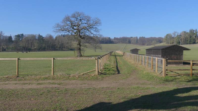
The path after I turned sharply right at the path junction by the road
The path after I turned sharply right at the path junction by the road
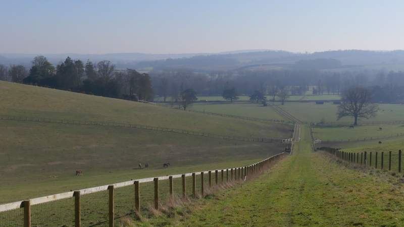
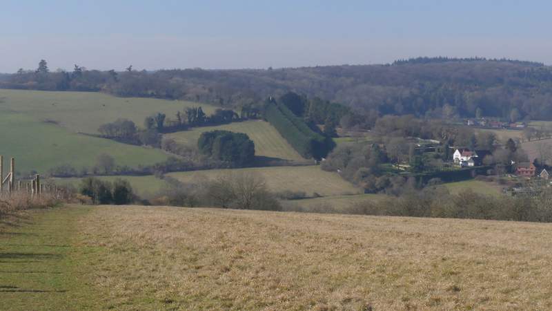
View back towards the Thames Valley
The path continuing through a wood
The path continuing between animal enclosures
The path after I turned left, approaching the lane
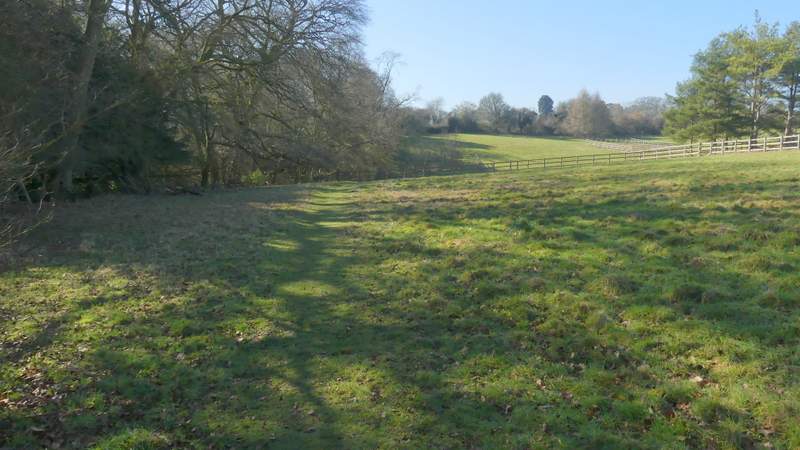
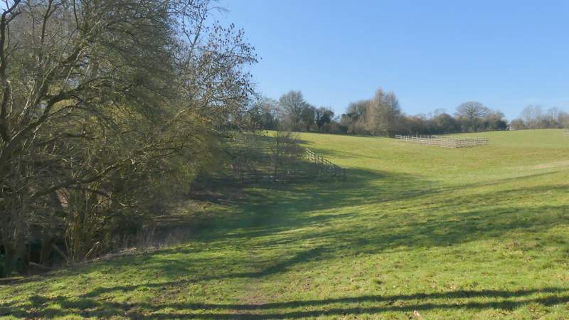
Across the lane, a path continued along the left edge of a very large meadow, going up and down a slight dip, then continued along the right edge of a field. I then turned right, along a track coming from the Deer Park around Henley Park (to my left). I soon reached a lane, across which a path went left between paddock fences. It continued along the right edge of a meadow or paddock, then after passing through some trees it emerged into a corner of a meadow, where I was totally taken aback by the stunning views (which I'd completely forgotten about!). The meadow sloped downhill and out of view, with the Stonor valley running from left to right in front of me. Across it I could look over Middle Assendon and along the valley of Bix Bottom (some the woods in the distance would be at the Warburg nature reserve). The path followed the left edge of the meadow, then continued downhill through a 'green tunnel' to reach a road in Middle Assendon.
The path continuing the other side of the lane
The path continuing the other side of the lane
The bridleway after I turned right
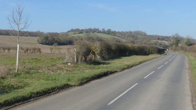
The path after I crossed a lane, going west to Middle Assendon
The path going west to Middle Assendon
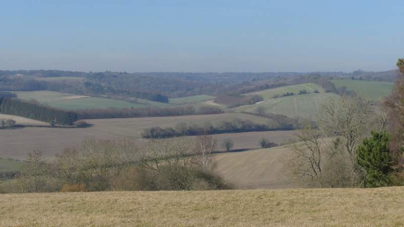
View across the Stonor valley and along Bix Bottom
The path going west to Middle Assendon
The path descending to Middle Assendon
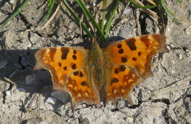
I turned left and then almost immediately right along the main road through the village. I soon left Middle Assendon, following the road (where I saw many more Lesser Celandine) as far as a farm gate and a finger-post, indicating where a path forked right to rise uphill across a field to Paradise Wood. As I approached the wood, I spotted my first butterfly of 2019, a Brimstone, which was quickly followed by my second, a Comma that landed at my feet.
The road heading out of Middle Assendon
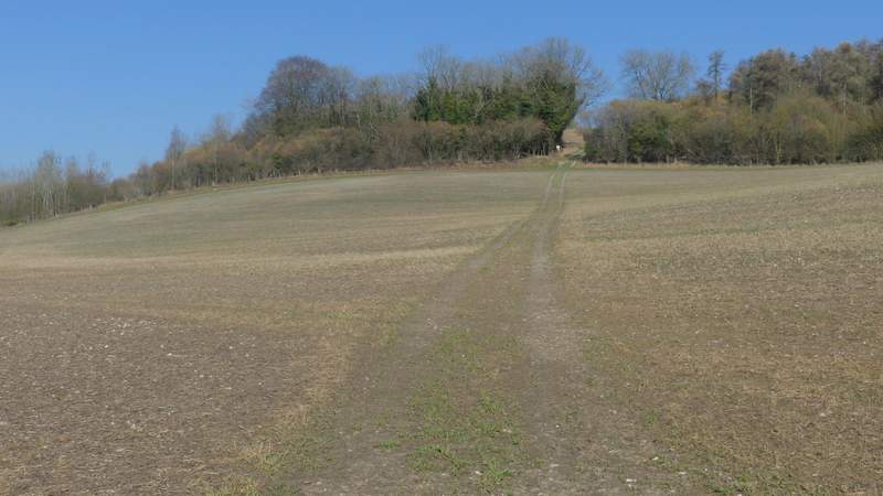
The path to Paradise Wood
The path through Paradise Wood