Pete's Walks - Ashridge and Aldbury (page 3 of 3)
If you are considering walking this route yourself, please see my disclaimer. You may also like to see these notes about the maps and GPX files.
The byway followed a tall hedgerow on my left, soon turning right and then left. Across the field on my right I could see a fence, beyond which was a railway line (the main West Coast line). The byway now ran for about half a mile, heading south east, switching to the left of a hedgerow at some point and passing two large arable fields on my left and then a paddock (containing several Alpacas and a solitary horse) by Norcott Court Farm. On reaching a path T-junction at the end of this paddock (shortly after a footpath came in on the right), I turned right onto a bridleway. This soon turned left alongside the railway line and then after a few hundred yards brought me to a lane where I turned left, towards Norcott Court. After about a quarter of a mile, the lane turned right, but only for a hundred yards or so before coming to a T-junction where I turned left and climbed steadily uphill. At the top of the hill the lane ended where it met some woods on the edge of Northchurch Common, but I continued beside a drive going half-left, passing Norcott Hall and a few other properties at Norcott Hill.
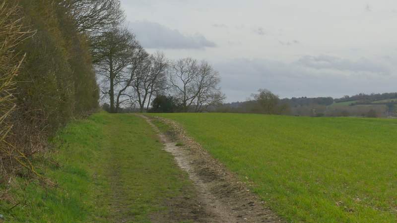
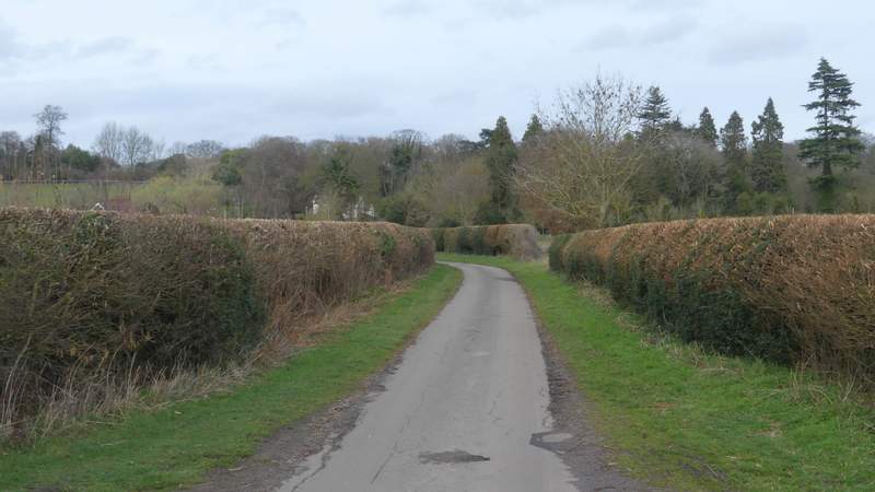
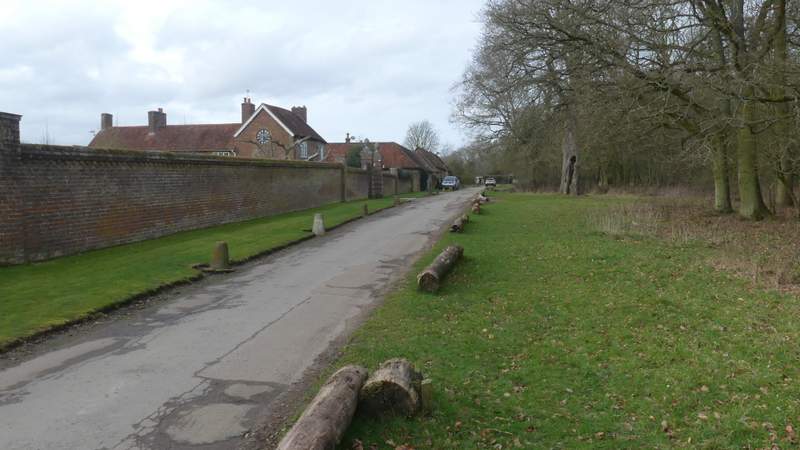
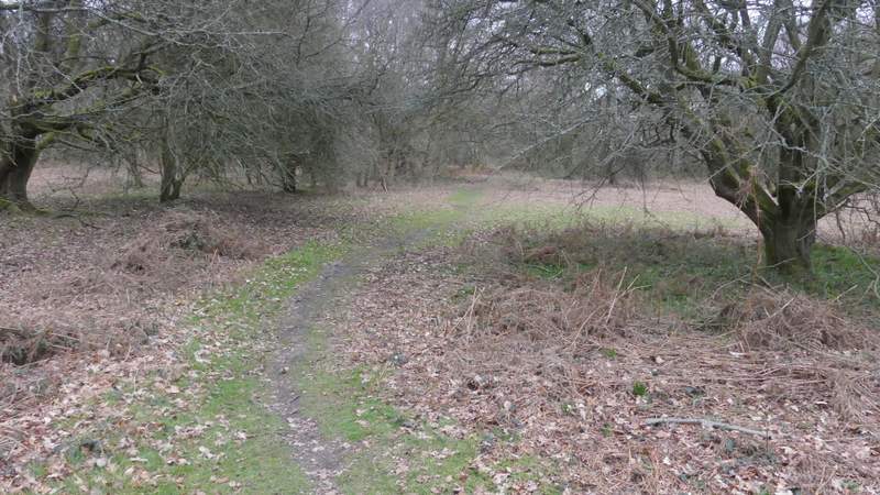
The start of the byway to Norcott Court Farm

The byway to Norcott Court Farm
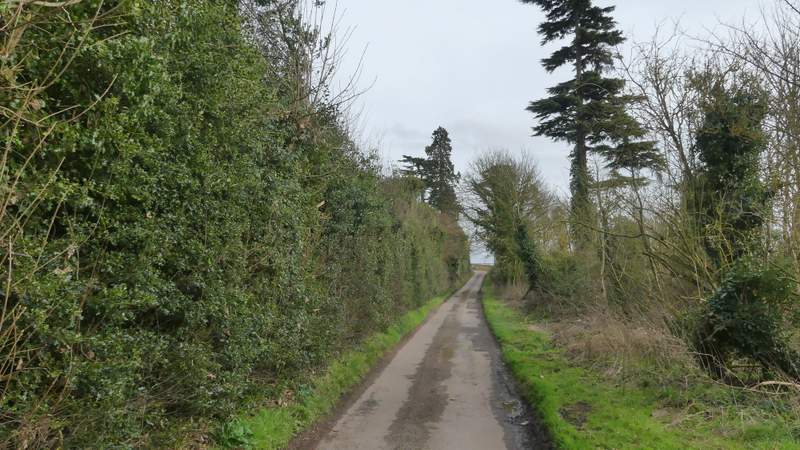
The byway to Norcott Court Farm
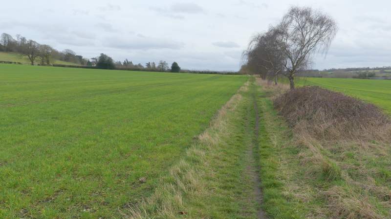
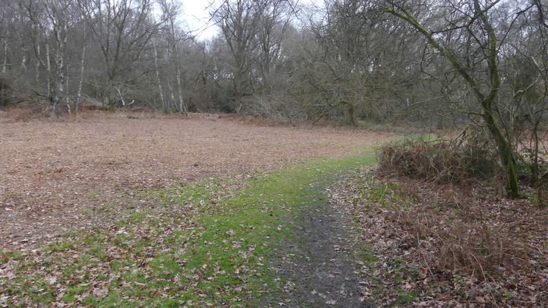
The byway passing Norcott Court Farm
The byway continuing alongside the railway line
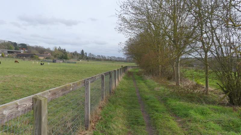
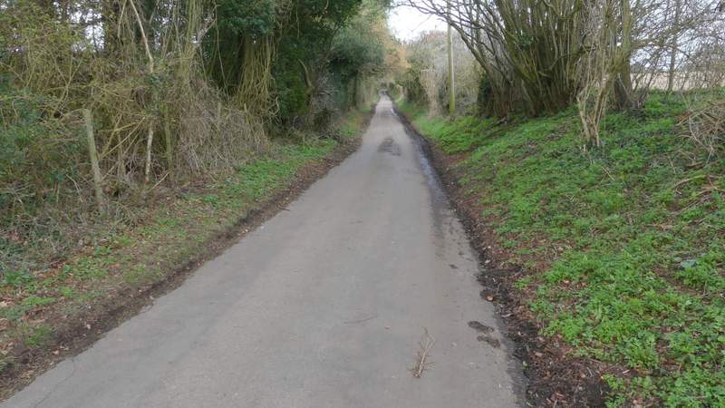
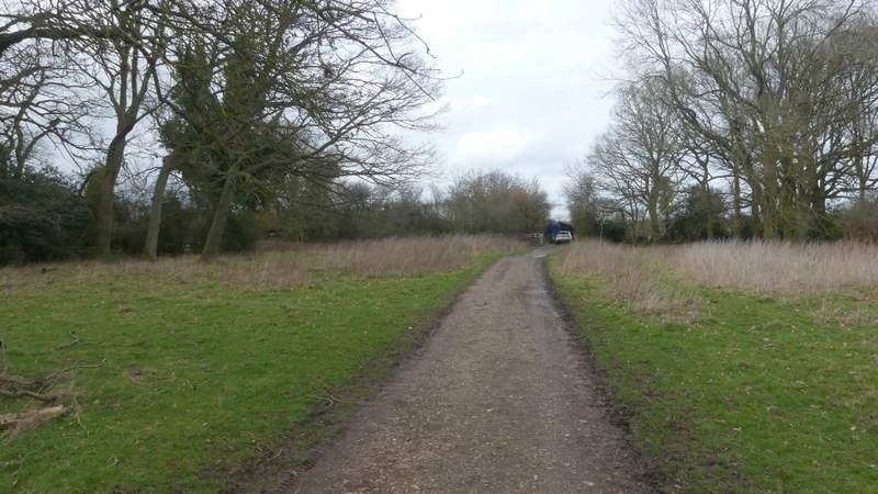
The lane to Norcott Court
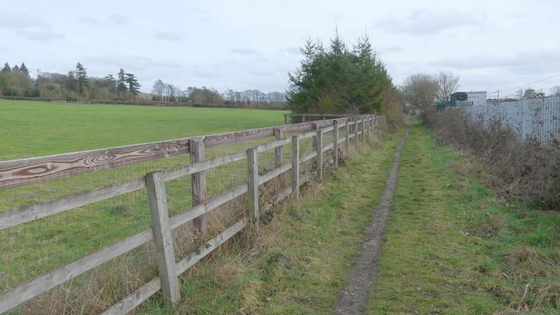
The lane after it turns right
The lane after it turns left, to go uphill to Norcott Hill
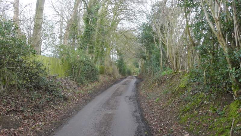
The lane after it turns left, to go uphill to Norcott Hill
The drive at Norcott Hill
The drive at Norcott Hill
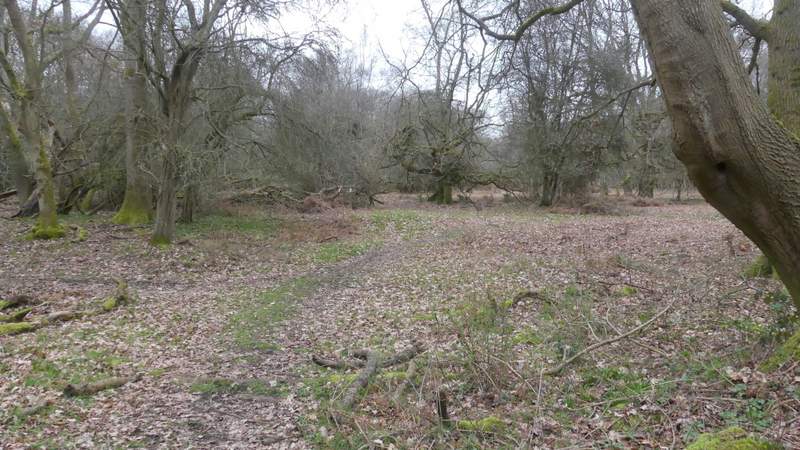
The drive ended at a couple of gates (a bridleway went right here, into the woods). I went over a stile to the left of the gates into a very muddy corner of a horse field, and followed the path along the hedge on the right. Beyond this field (fortunately it was only the initial corner that was very muddy) the path continued between widely-spaced fences separating two grassy fields. It then passed through an area of small trees, before following a tall hedge across the grounds of Tom's Hill House to reach some of the woods of Ashridge near Tom's Hill. I immediately came to a path T-junction where I went more or less straight on. I soon came to a yellow-topped waymark post where I forked right. I followed the path through the woods for several hundred yards, keeping left at another fork, until I reached a crossing bridleway where I turned left but then immediately forked right to follow a path back to the car park where I'd started.
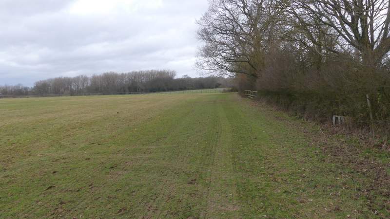
The path from Norcott Hill to Tom's Hill
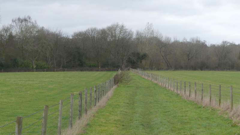
The path from Norcott Hill to Tom's Hill
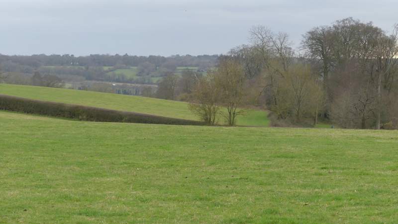
View left from the path from Norcott Hill to Tom's Hill
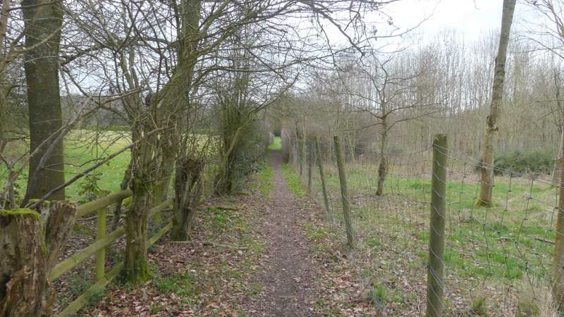
The path from Norcott Hill to Tom's Hill
The path from Norcott Hill to Tom's Hill
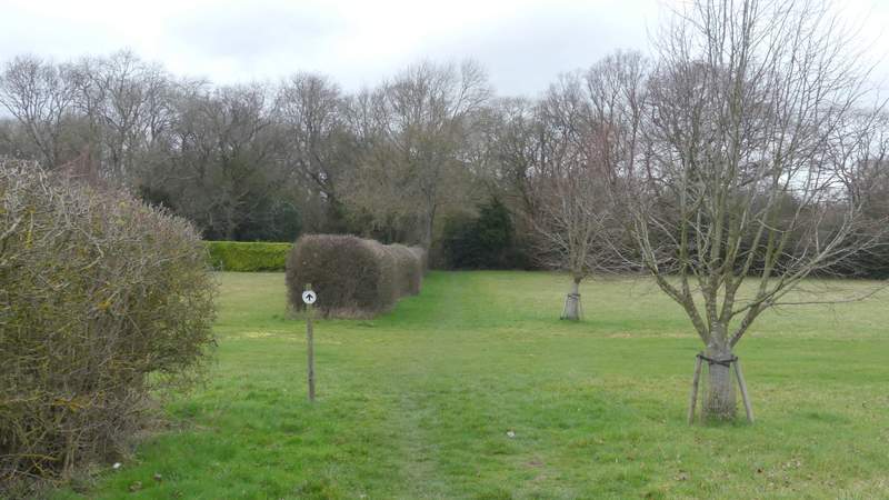
The path through Ashridge, after I turned right and then immediately left
Further along the same path
Further along the same path
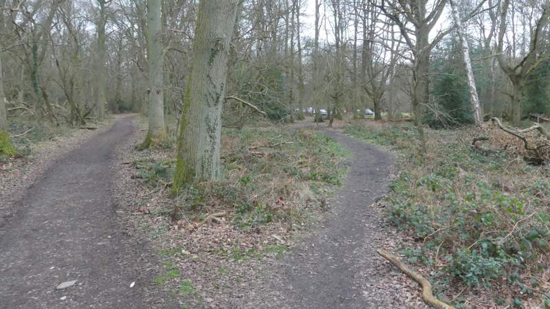
After turning left onto a bridleway at the end of the path, I almost immediately forked right here to go back to the Tom's Hill car park
This was a pleasant, undemanding walk, and was just what I needed for a Saturday afternoon. I was annoyed at myself for going wrong a couple of times, and it was a bit too busy near to the Bridgewater monument for my liking. But it was nice to walk some paths that I'd only walked a couple of times before.