Pete's Walks - Variation on 'Four Hills' Walk (page 3 of 6)
If you are considering walking this route yourself, please see my disclaimer. You may also like to see these notes about the maps and GPX files.
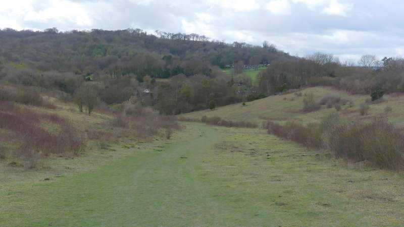
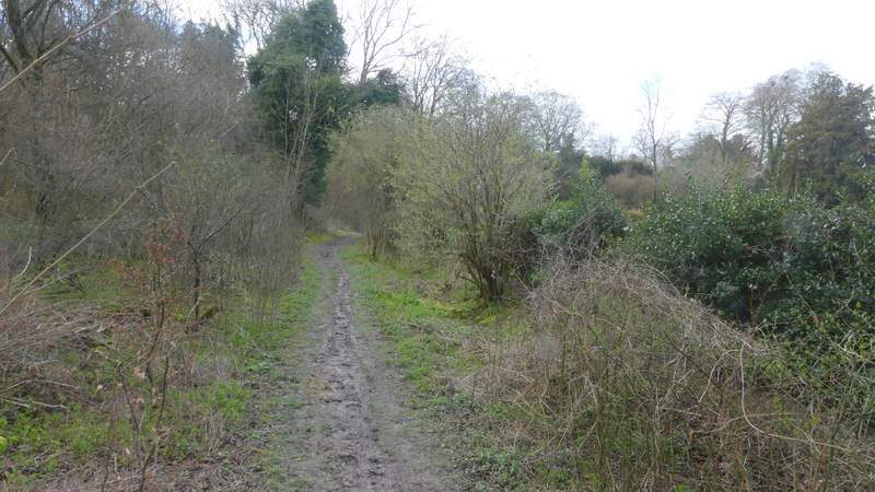
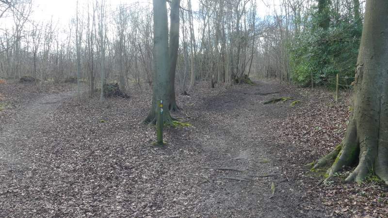
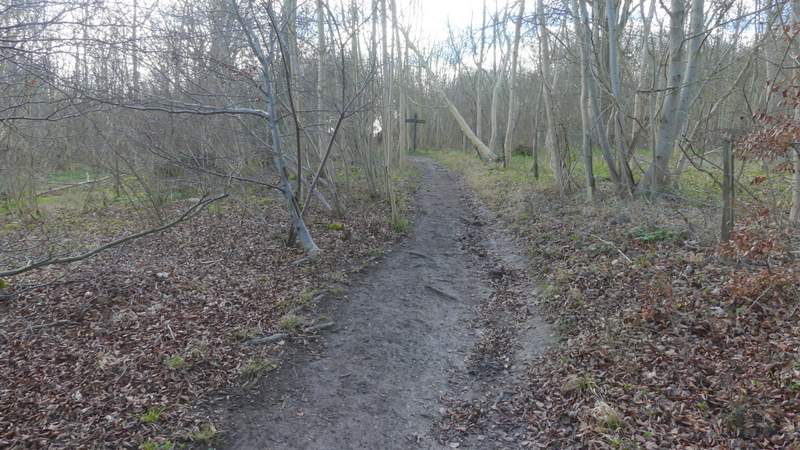
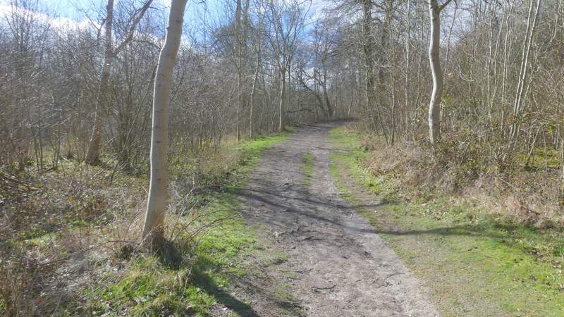
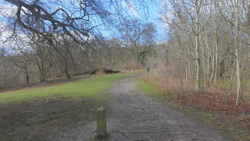
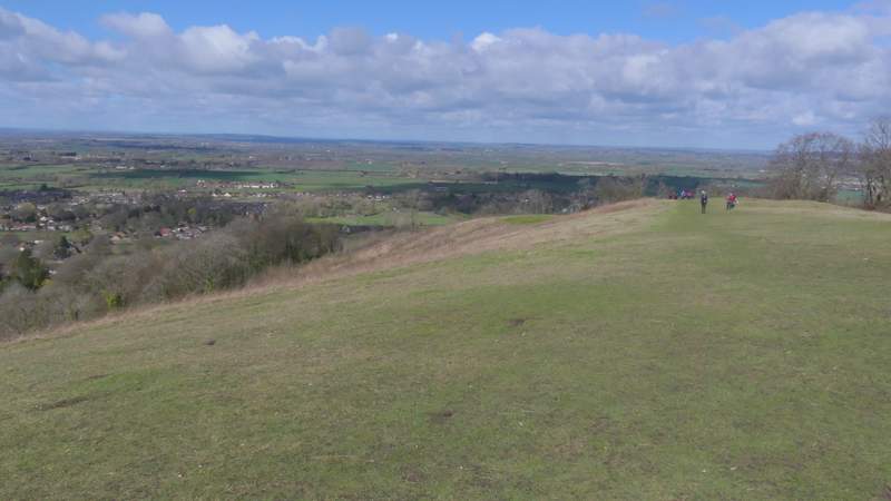
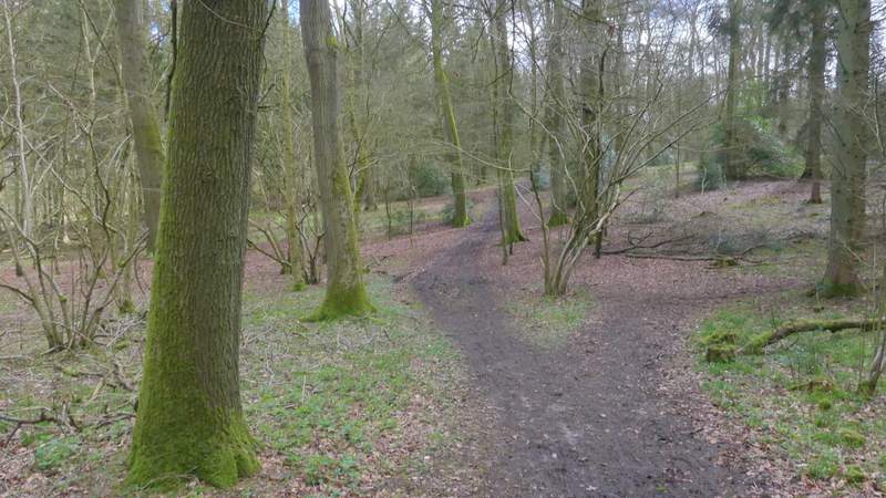
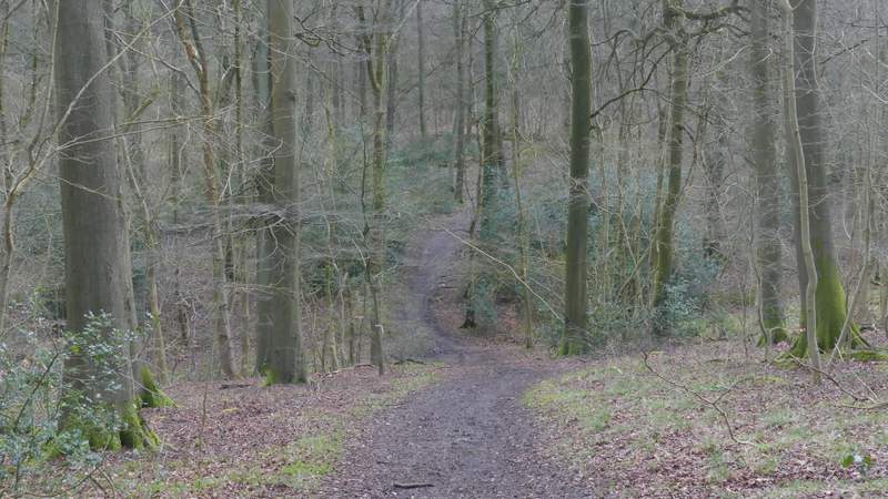
Eventually the bridleway reached a junction where it was crossed by the Ridgeway national trail (white acorn or Ridgeway signs), and I turned left and followed the Ridgeway as it descended slightly through the nature reserve - there was very slight hail shower at this point. I kept right when I came to a narrow fork in the path, staying close to the edge of the nature reserve. The Ridgeway then soon turned right through a gate, and quickly brought me to a minor road. Here I went a short way left, then forked right, down a short side street leading to The Plough at Cadsden (the pub where David Cameron once accidentally left one of his children!). Immediately after the pub the Ridgeway turned right along a track, but then soon forked left through a gate. Within a few yards it forked right (I think the two paths soon meet up, anyway), as it started to make its way up the wooded slopes of Whiteleaf Hill. I soon came to a five-way junction of paths where I took the second one on the right (more or less straight on) which continued uphill. It was a steady plod up to the top of the hill, but I seemed to find it a bit easier today than I have on other days. On reaching the grassy summit of Whiteleaf Hill I paused to take photos of the views out to the Vale of Aylesbury and of the Neolithic barrow here (by far the oldest of the many historical features I'd come across today).
The Ridgeway going through the Pulpit Hill and Grangelands nature reserve
The Ridgeway, approaching the road
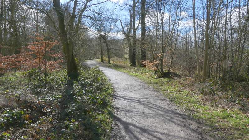
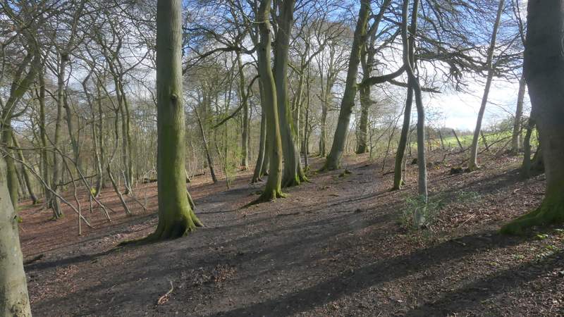
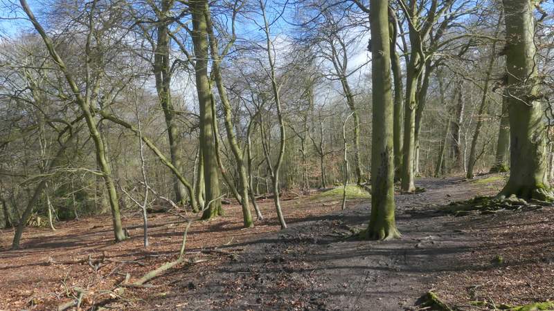
The path up Whiteleaf Hill
The path up Whiteleaf Hill
The path up Whiteleaf Hill
The path up Whiteleaf Hill
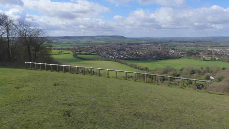
View over Princes Risborough from Whiteleaf Hill
Whiteleaf Hill
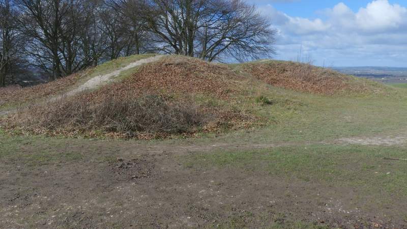
The Neolithic barrow on Whiteleaf Hill (over 5,500 years old!)
I then continued along the Ridgeway, as it turned left and went down a track (starting by the barrow). After three or four hundred yards I turned left onto a bridleway (leaving the Ridgeway at this point), but immediately stopped to see the remains of some World War I practice trenches on the right. The bridleway continued just inside the edge of a nice beech wood that sloped down into a valley on my left (this is marked The Hangings on the OS map, I don't know if that's the name of the valley or the wood). After a few hundred yards I stayed on the bridleway where a footpath forked left, still with a field close to my right.
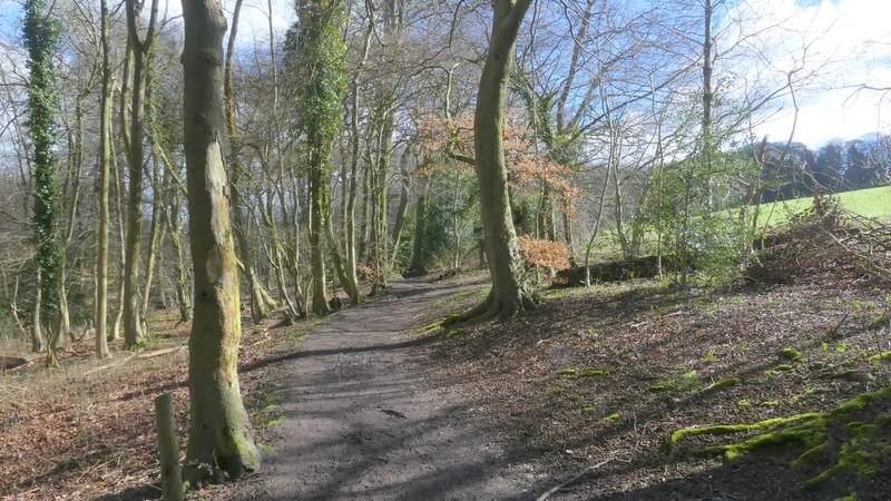
The Ridgeway going south from Whiteleaf Hill
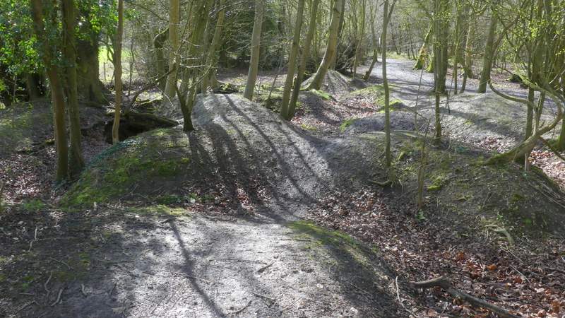
Remains of World War I practice trenches
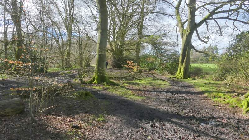
The bridleway after I turned left from the Ridgeway
The bridleway after I turned left from the Ridgeway
The bridleway after I turned left from the Ridgeway
The bridleway after I turned left from the Ridgeway
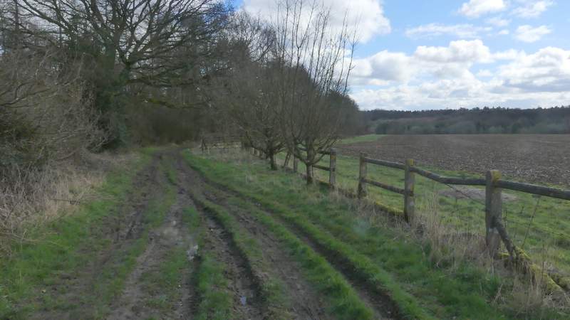
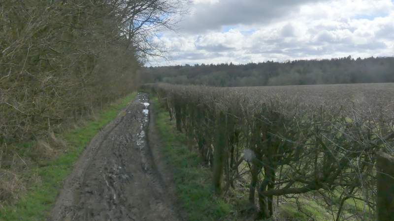
On reaching a bridleway T-junction, I turned right - I was now just inside Sergeant's Wood, with the same field as before still close by on the right. On emerging from the trees at a corner of the wood and at a slightly staggered crossing of bridleway, I turned left. This bridleway ran for several hundred yards between the wood on my left and a wire fence on my right. This was by far the muddiest section of the whole route and at one point a muddy puddle blocked the way for about six feet. I tried squeezing by on the right, then on the left, and then finally got by on the right (of course, I twice snagged items of clothing on brambles or barbed wire just at a crucial moment, causing a foot to slip into the liquid mud!). At the end of the field on my right I went straight on at a path junction (I usually go right here, en route for Green Hailey and Parslow's Hillock). The bridleway continued through Kingsfield Wood for about half a mile, going up and down a dip at one point and then crossing straight over a track.
The bridleway after I turned right, on the edge of Sergeant's Wood
The bridleway after I turned left, along the southwest of Sergeant's Wood
The bridleway after I turned left, along the southwest of Sergeant's Wood
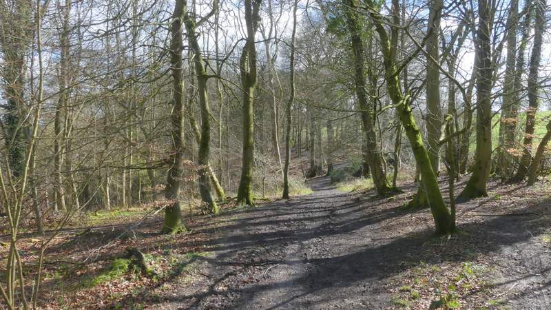
The bridleway continuing through Kingsfield Wood
The bridleway continuing through Kingsfield Wood