Pete's Walks - Cholesbury and Ashley Green (page 3 of 6)
If you are considering walking this route yourself, please see my disclaimer. You may also like to see these notes about the maps and GPX files.
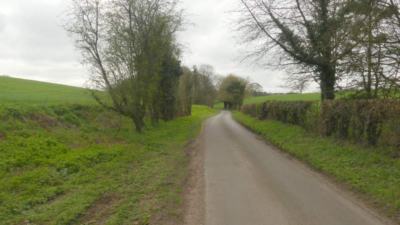
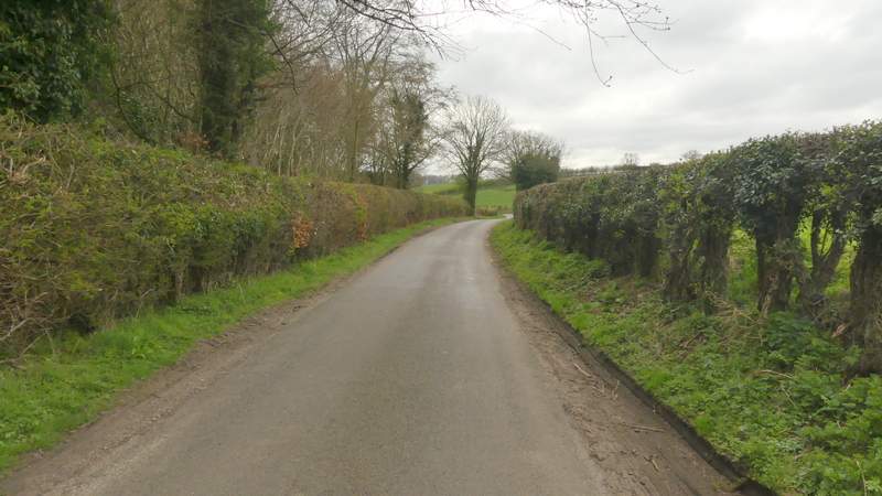
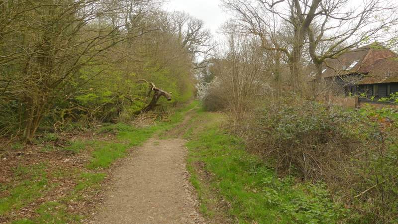
Just after passing Tring Grange Farm on the right, I took a footpath on the left, going through a metal kissing gate and following the path uphill between a fence and a hedge on my right. I was a little confused here, as I seemed to remember the path being on the other side of the hedgerow, and shortly after the path levelled out my confusion turned to concern when I could clearly see a path running on the other side. My concern lessened when I came to a point where I could see that the former path was blocked by wood and barbed wire. Anyway another metal gate (and a notice about the path change) soon confirmed I'd gone the right way, the path now continuing along a driveway to reach a road. Across the road a path continued with a wood on the left, and initially a tall green fence around an industrial site on my right. The path then continued beside the wood, going up and down a shallow valley to approach Lodge Farm, where some construction work was going on. I joined a drive going slightly right. After a while this turned right (where paths went left and straight on), and I continued along it for about 500 yards to reach a minor road.
The start of the path after I turned left near Tring Grange Farm
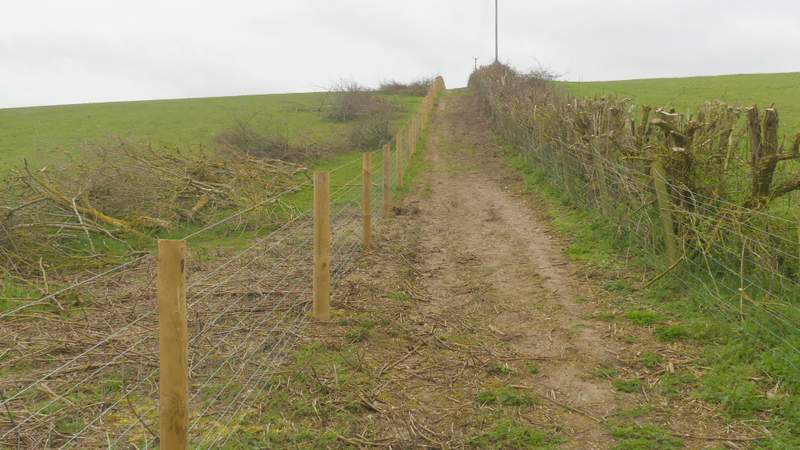
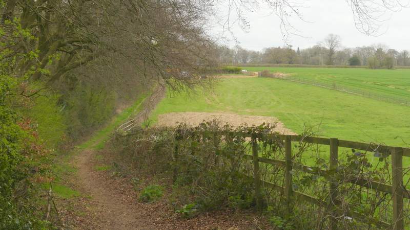
The path from Tring Grange Farm
Approaching the end of the path from Tring Grange Farm
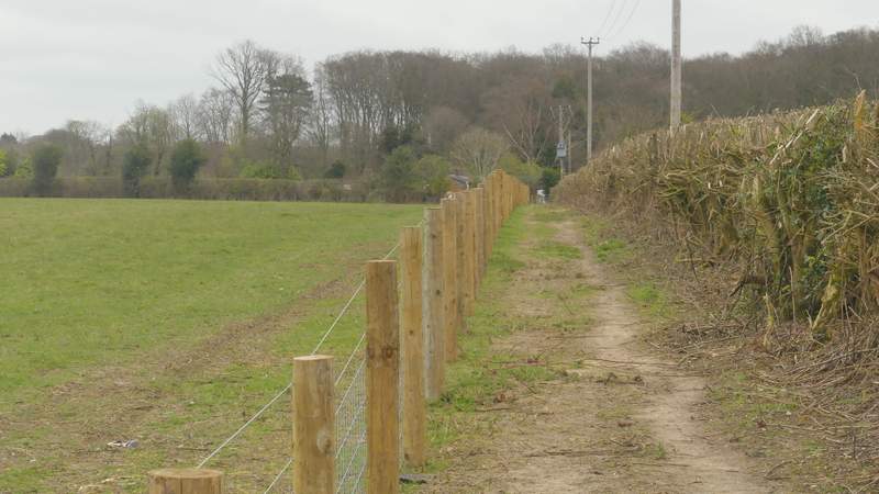
Near the start of the path to Lodge Farm, after I crossed the road
The path to Lodge Farm
Approaching the junction where I turned right along a byway
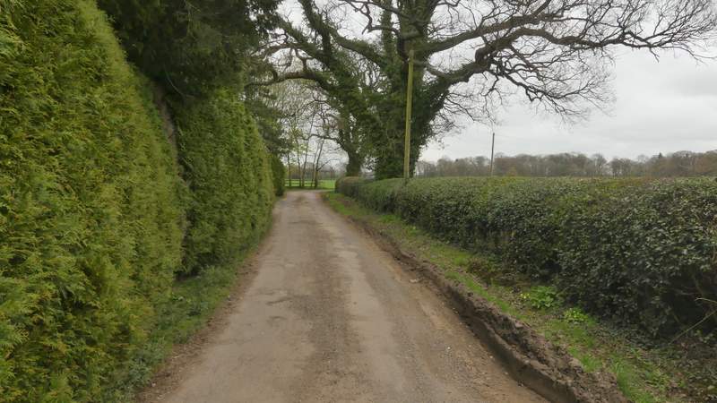
The byway from Lodge Farm
I turned right along the road, which soon turned slightly left and slowly descended into a valley where I forked left along a lane. This followed the valley bottom southwards for about a third of a mile, passing a wood on the left. At its end I went a very short way left and then took a footpath on the left, which followed a hedgerow on my left uphill, heading towards the grounds of a large property named Rossway.
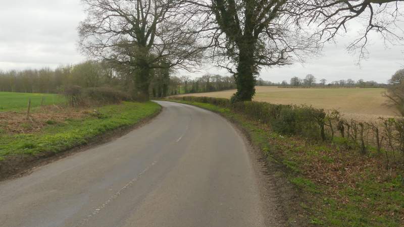
The road after I turned right at the end of the byway
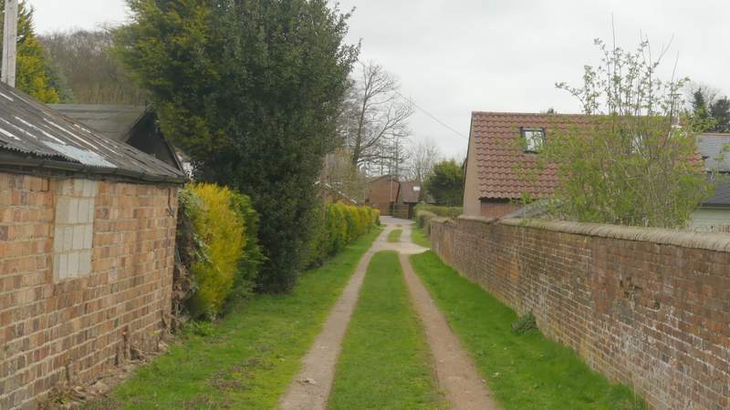
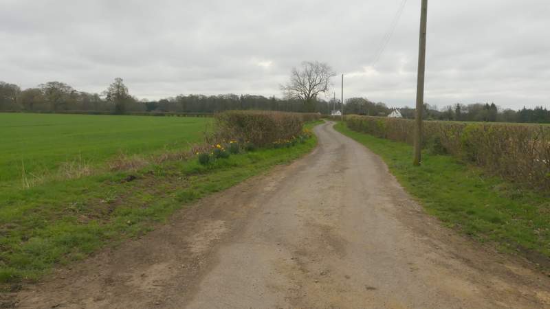
The lane after I forked left
The lane after I forked left
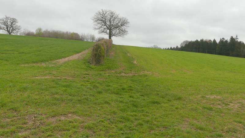
The start of the path after I turned left

The path continuing towards Rossway
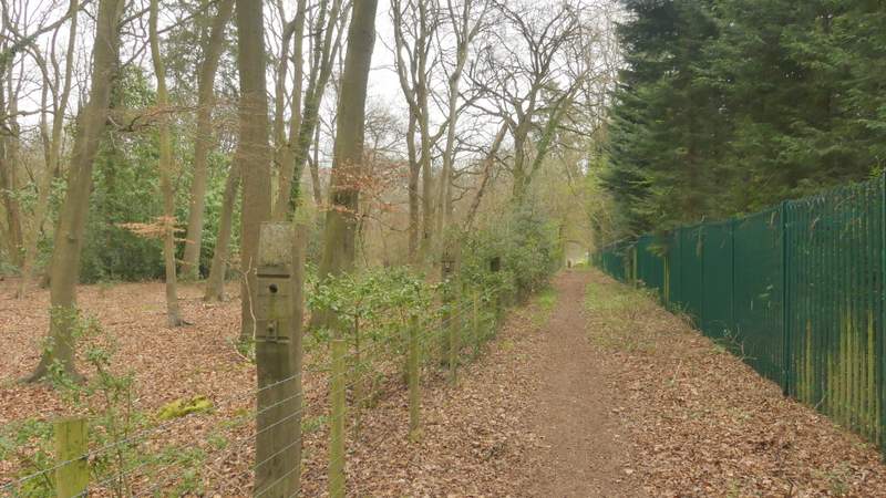
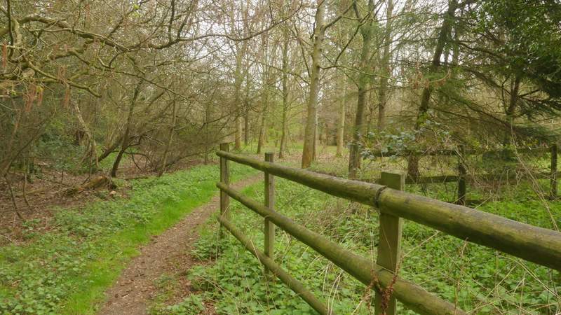
The path fairly quickly levelled out, and on reaching a field corner I crossed a track or drive and continued straight on along the edge of what was obviously the park around Rossway (one of the several impressive trees in the park had had two or three major branches brought down, presumably in a winter storm). From the far corner of the park the path continued past the remains of Marlin Chapel which is thought to date to the mid-thirteenth century (all that is left are just four corner columns of stone topped by ivy and other vegetation). The path then met a bridleway, where I went more or less straight on, passing Marlin Chapel Farm on my right (it has the remains of a moat round it) as I continued through a wood called Cock Grove.
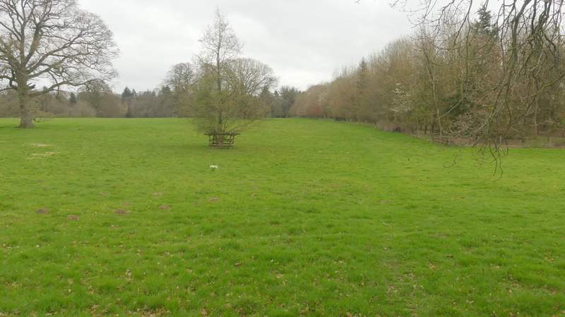
The path continuing across the park land at Rossway
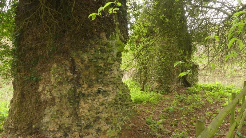
The remains of Marlin Chapel
The path passing the remains of Marlin Chapel
The bridleway passing Marlin Chapel Farm