Pete's Walks - Cowleaze Wood, Crowell, Stokenchurch (page 3 of 7)
If you are considering walking this route yourself, please see my disclaimer. You may also like to see these notes about the maps and GPX files.
On reaching the corner of some trees, where a path went left, the OS map shows the 'lane' becomes a byway. The map also shows that on the other side of the trees are some of the flooded chalk pits that are a reminder of the Chinnor Cement and Lime company that occupied this site for many years. The byway continued beside the trees on my left, with views ahead and to my right along the wooded escarpment. At the end of the trees I crossed the Ridgeway, and now the byway started to rise uphill through a tree belt with fields either side. When the field to the left ended, the byway entered Crowellhill Wood and briefly ran along a sunken lane or 'hollow way', but this soon curved to the right while the byway continued straight on at a steady gradient up the wooded slope. Eventually the byway turned a little to the left, reaching the top of the slope and ending at a corner of a lane (if I'd followed the lane straight on, it would have taken me through Crowell Hill and Sprig's Alley - I would be joining it again a bit later on).
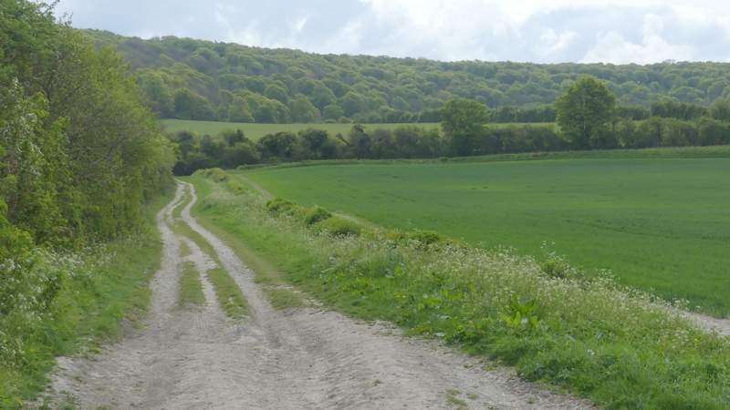
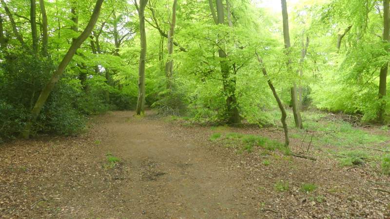
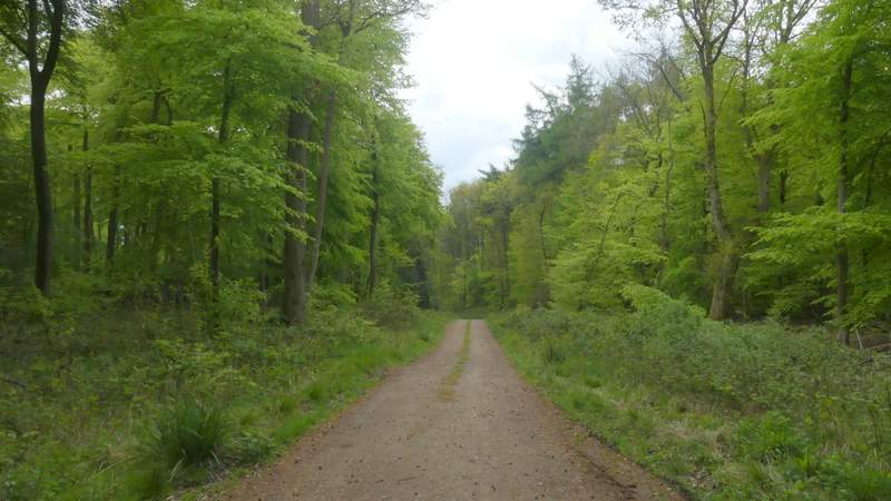
The byway continuing from Crowell
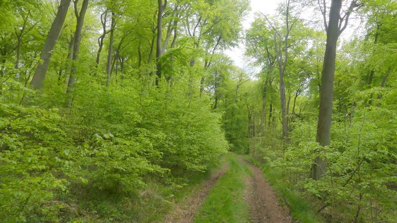
The byway continuing from Crowell, now running uphill through a tree belt
The byway continuing from Crowell, now running uphill through a tree belt
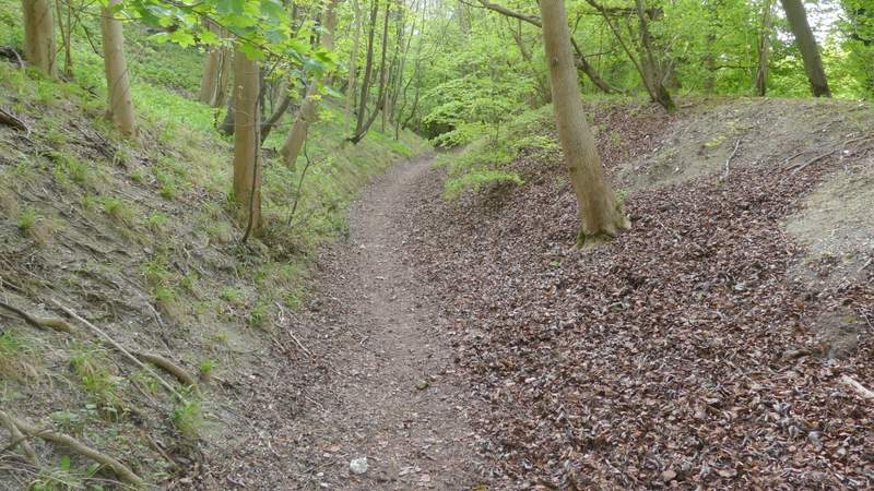
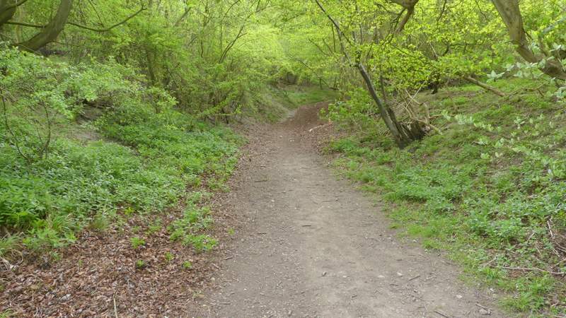
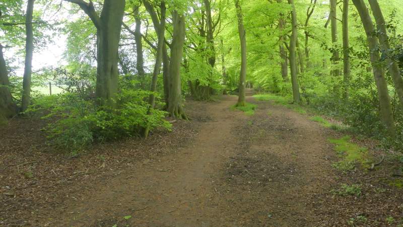
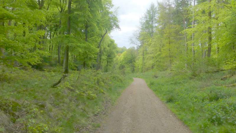
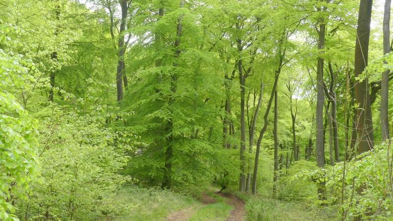
The byway continuing up the Chiltern escarpment, through Crowellhill Wood
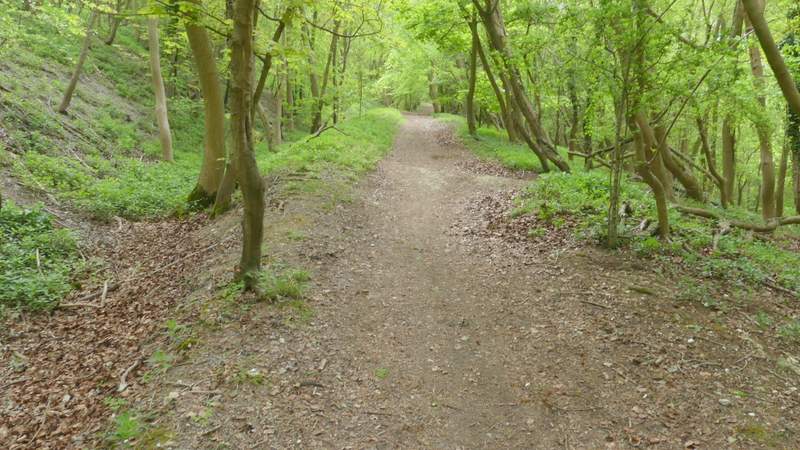
The byway continuing up the Chiltern escarpment, through Crowellhill Wood
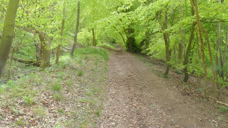
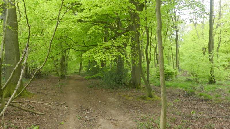
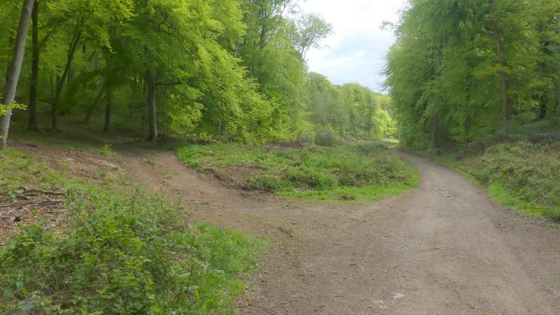
The byway continuing up the Chiltern escarpment, through Crowellhill Wood
The byway continuing up the Chiltern escarpment, through Crowellhill Wood
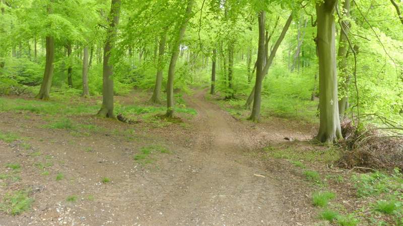
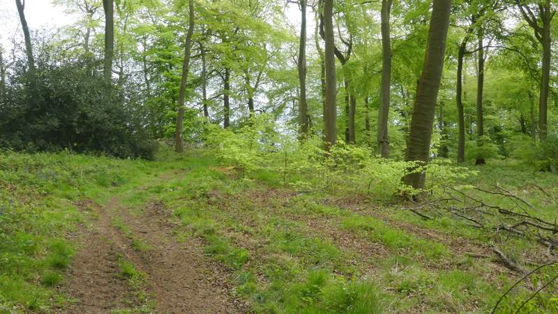
Approaching the lane into Crowell Hill and Sprig's Alley
I did go a few yards straight on along the lane, but then turned right on a path that took me back into Crowellhill Wood. I was now briefly back on a path I new. It ran for about half a mile, just inside the eastern edge of the wood with fields nearby on my left. Somewhere the wood changed to Kingston Wood. Eventually I came to a track junction in the wood, where a white arrow pointed the way half-left along a track dropping downhill. This track curved left as it approached the bottom of a wooded valley, where I came to a crossroads of rights of way. Here I turned left, now in High Wood and again on a path that was new to me. The path rose quite gently uphill (the uphill seemed much shorter than the downhill on the track had been) along a track. Where the track turned right as it reached the edge of the wood, the path turned off it and left the wood at a stile or gate, before continuing across a large field of green corn. After a while the path was heading downhill towards a field corner with the trees of Crowell Wood on both sides.
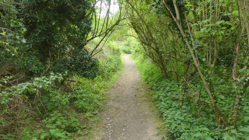
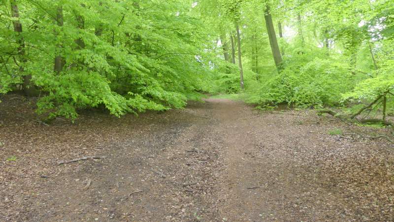
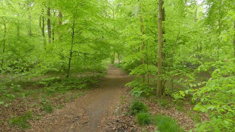
The path along the edge of Crowellhill Wood
The path along the edge of Crowellhill Wood
The path along the edge of Crowellhill Wood
I think this is now Kingston Wood
The track through Kingston Wood
The track through Kingston Wood
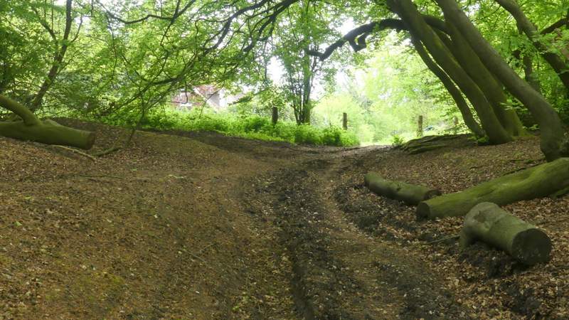
The 'crossroads', where I turned left into High Wood
The path through High Wood
The path through High Wood
The path through High Wood
The path through High Wood
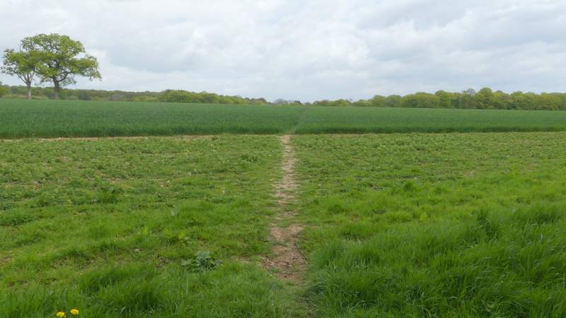
The path continuing from High Wood
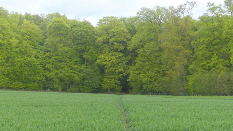
The path continuing from High Wood, approaching Crowell Wood