Pete's Walks- Goring, Hartslock, Cray's Pond (page 2 of 4)
If you are considering walking this route yourself, please see my disclaimer. You may also like to see these notes about the maps and GPX files.
I followed the lane more or less straight on, soon passing Cockpit Plantation on my left. I kept left where another lane (actually a drive) came in on the right, and after another few hundred yards I turned left onto a public byway (starting opposite the beginning of the drive to Coombe End Farm). After passing a few cottages, the byway ran between hedges for a few hundred yards to reach a point marked Cold Harbour on the OS map, where a bridleway went left and a lane went right.
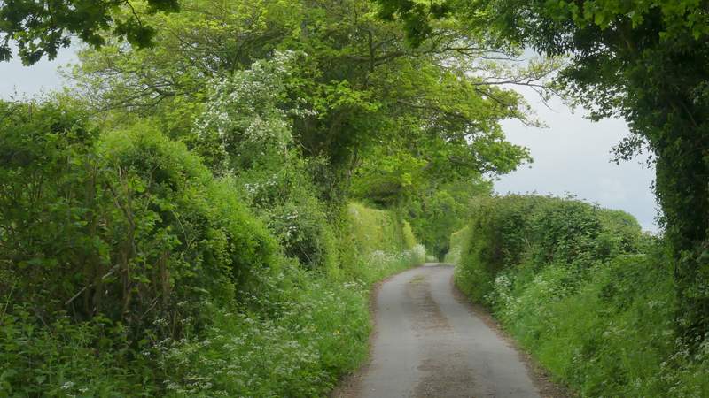
The first lane, approaching Cockpit Plantation
The first lane, not long before I turned left
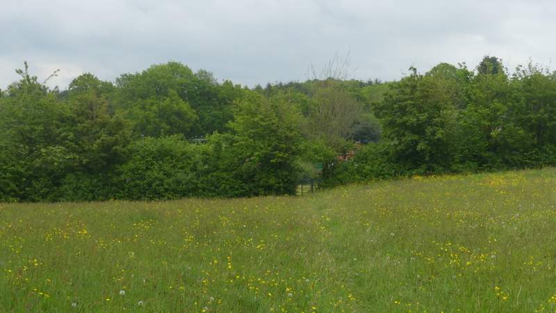
The start of the byway going north to Cold Harbour
The byway going north to Cold Harbour
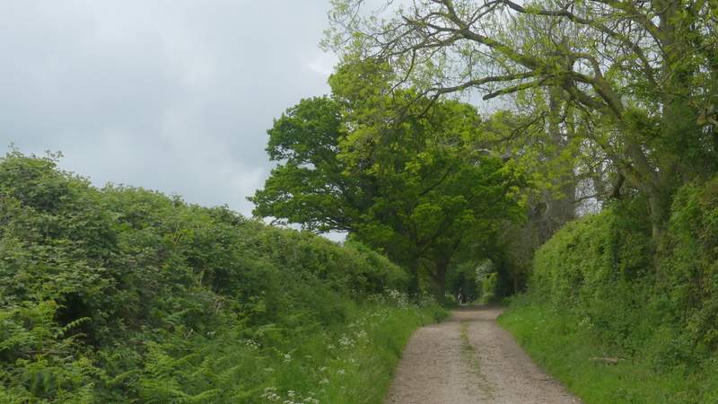
The byway going north to Cold Harbourn
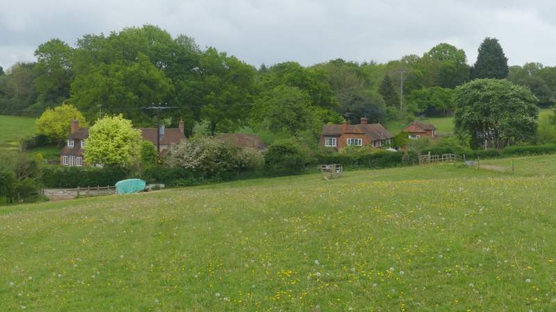
I turned right and followed the lane, but only for a fairly short distance before I turned left along a bridleway, running along a surfaced drive past a few houses. Just beyond the last house, on my left, a footpath went half-right. This crossed the corner of a paddock, then crossed another paddock to reach its far right corner. I was now in the hamlet of Blackbird's Bottom, where I turned right and followed a track or drive (another public bridleway) to reach a minor road.
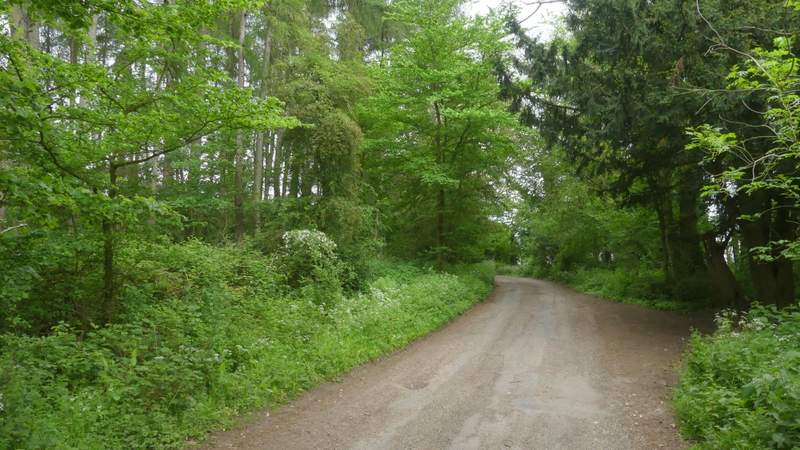
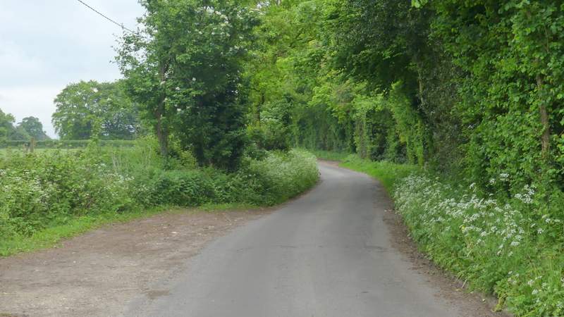
The second lane, going east from Cold Harbour
The second lane, going east from Cold Harbour
The bridleway, after I turned left from the lane
The footpath to Blackbird's Bottom
The footpath approaching Blackbird's Bottom
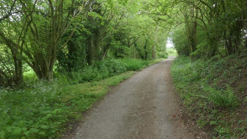
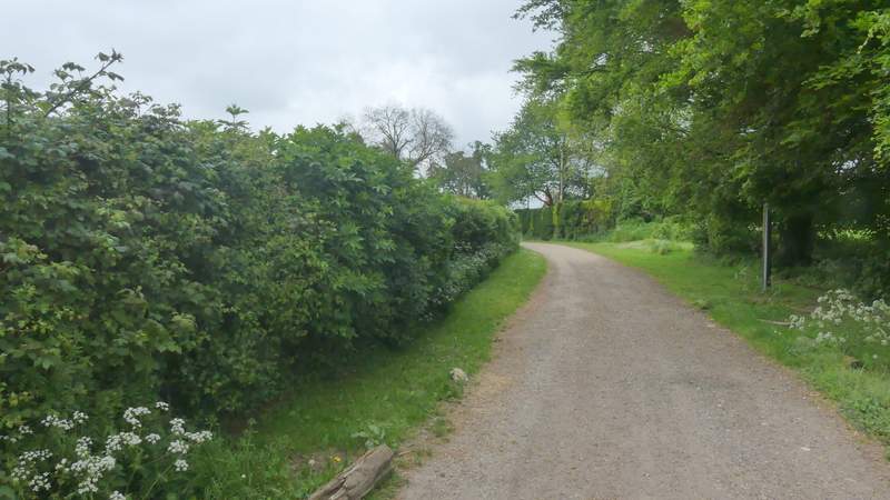
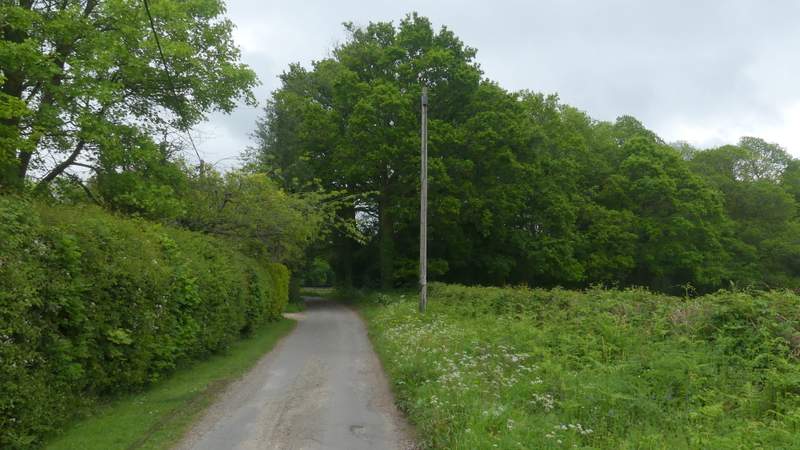
The bridleway going east from Blackbird's Bottom
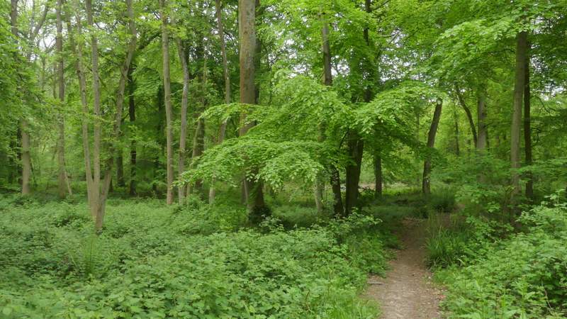
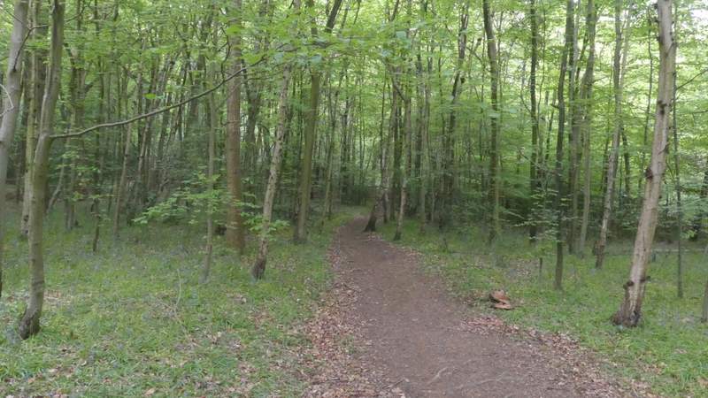
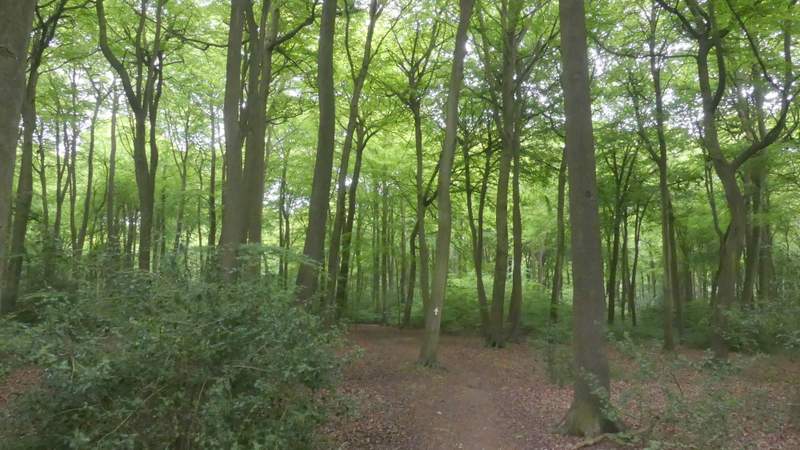
A few yards to the left, a footpath started on the other side of the road. This crossed an area of grass and wildflowers, then turned right along the edge of some school playing fields on my right(the path has been diverted in recent years, it used to cross the playing fields). The path then turned right, between a hedge and the playing fields. I then continued along a road for about a hundred yards, then took a footpath going half-left through a wood (Oakwood Covert is the nearest name I can see on the OS map). After a pleasant few hundred yards, the path crossed a track (Eastfield Lane) and then continued through the wood, which soon changed to a very pleasant Beech Wood. When I came to a path junction I turned left, and followed a wide path through more of the Beech trees. The path ended on Eastfield Lane (the track I'd crossed a few minutes before), where I went more or less straight on, passing one or two houses on my left.
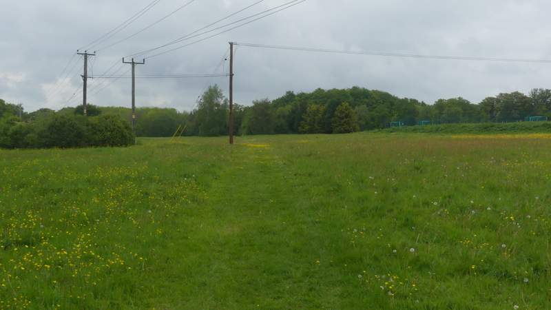
The footpath across the school grounds
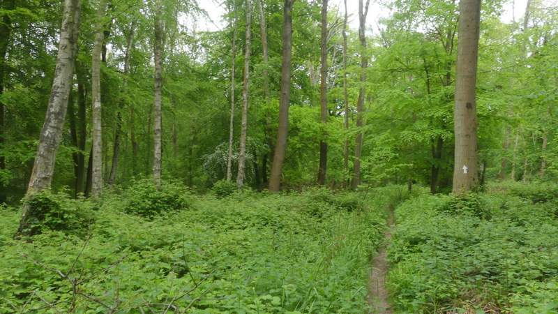
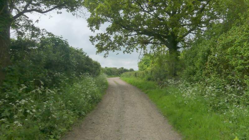
The path through Oakwood Covert
The path through Oakwood Covert
The path through Oakwood Covert, just after crossing Eastfield Lane
The path through Oakwood Covert
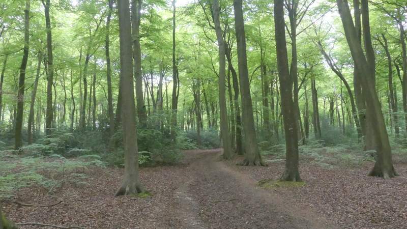
The path after I turned left in Oakwood Covert
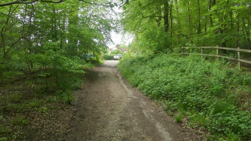
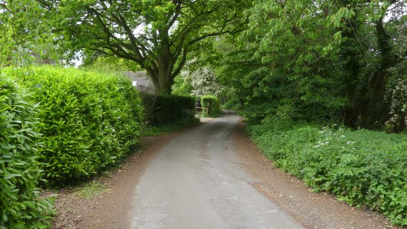
Eastfield Lane