Pete's Walks - Hambleden, Colstrope, Medmenham, Fawley (page 3 of 7)
If you are considering walking this route yourself, please see my disclaimer. You may also like to see these notes about the maps and GPX files.
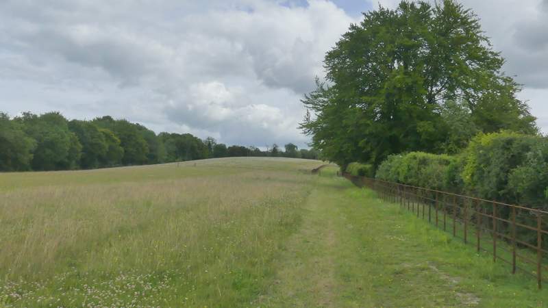
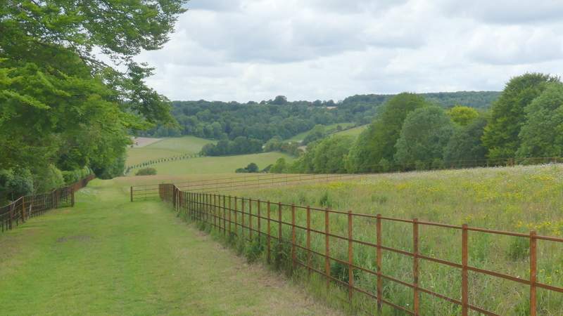
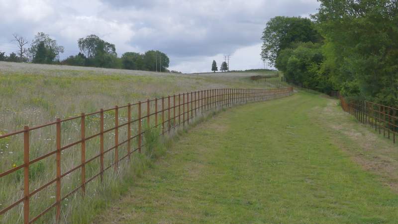
When the drive reached a wood named Bagmoor Shaw on the right, a footpath turned into the wood, running a few yards along a track then forking slightly right to stay close to the edge of the wood. The path continued along the bottom of a huge meadow stretching uphill to my left, with a nice view along the Hambleden valley. The path turned left in the corner of the meadow, and headed gently uphill for several hundred yards, soon with a metal fence on my left. Just before a locked gate blocked the way ahead, the path turned half-right through trees (no sign or waymark here) and then continued along the left edge of a small meadow to reach a lane at Pheasants, where I turned left.

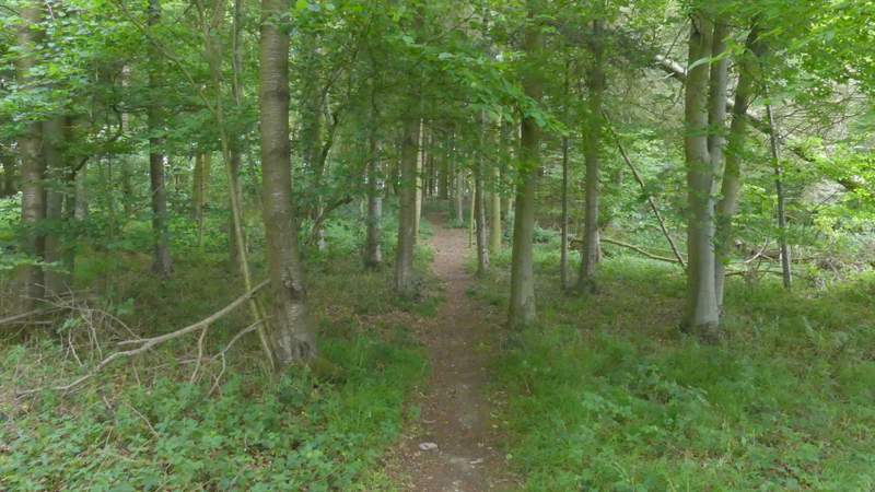
The path through Bagmoor Shaw
The path continuing from Bagmoor Shaw
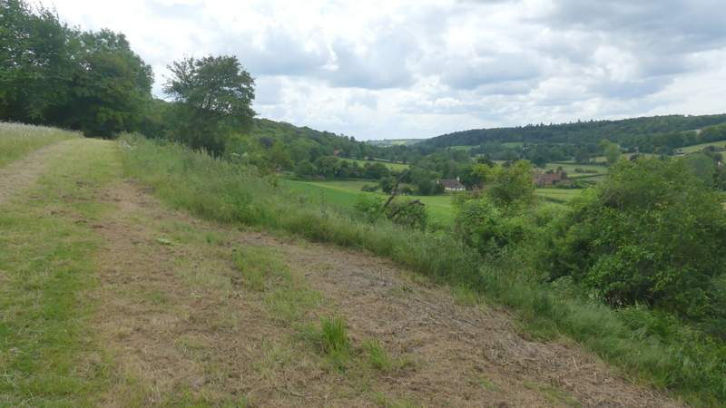
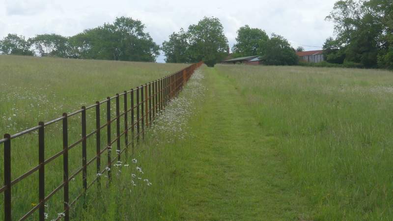
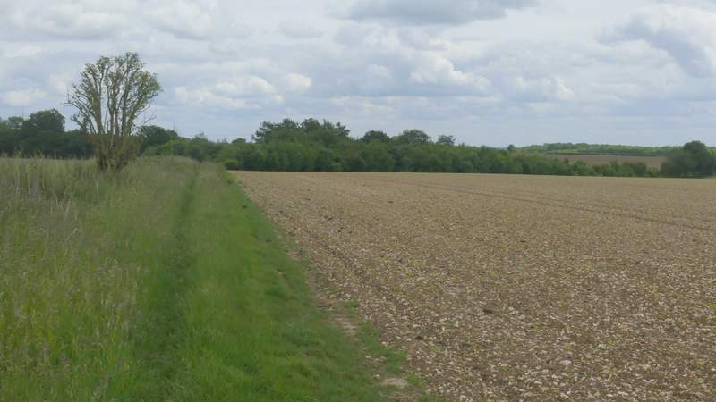
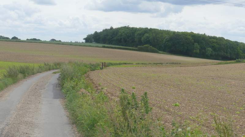
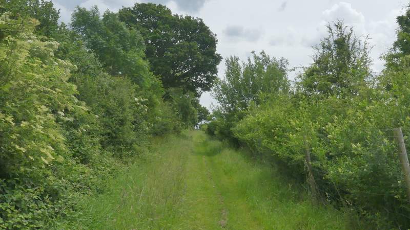
The path after it rurns left, heading out of the Hambleden valley
Looking back across the Hambleden Valley
The path after it rurns left, heading out of the Hambleden valley
The path as it approaches the lane at Pheasants
I followed the lane to a T-junction, where I went straight on along a footpath to reach Bushes Wood. The path continued through the wood, turning half-left after a while. Beyond the wood the path continued along the left edge of a field - there was a triangular area of trees in the next corner of the field, the path going down the left side of them (this was a bit overgrown in places). On reaching a lane, I turned right and followed it for almost half a mile to a lane junction where I turned sharply left.
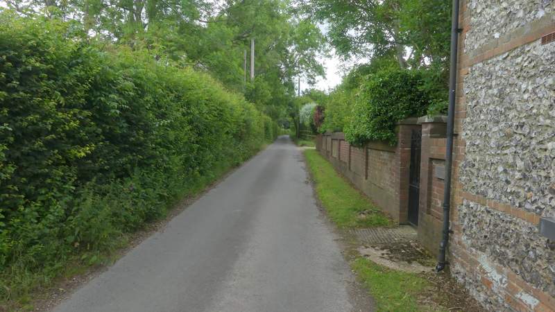
The lane through Pheasants
The path continuing from the T-junction at Pheasants
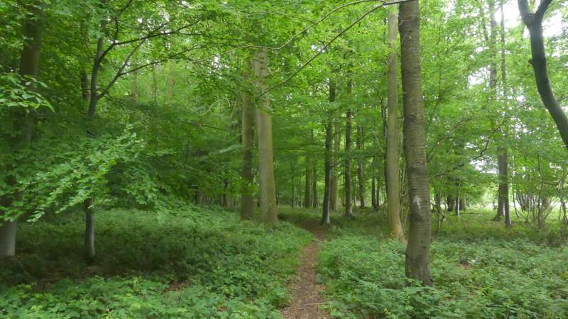
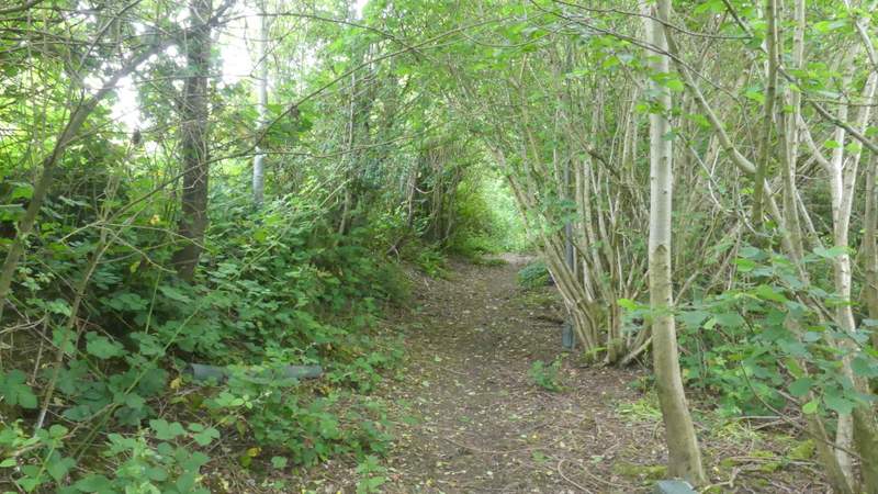
The path passing through Bushes Wood
The path passing through Bushes Wood
The path continuing from Bushes Wood
The path continuing from Bushes Wood
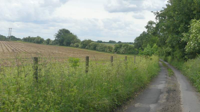
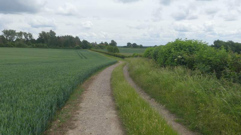
The lane after I turned right
The lane after I turned right
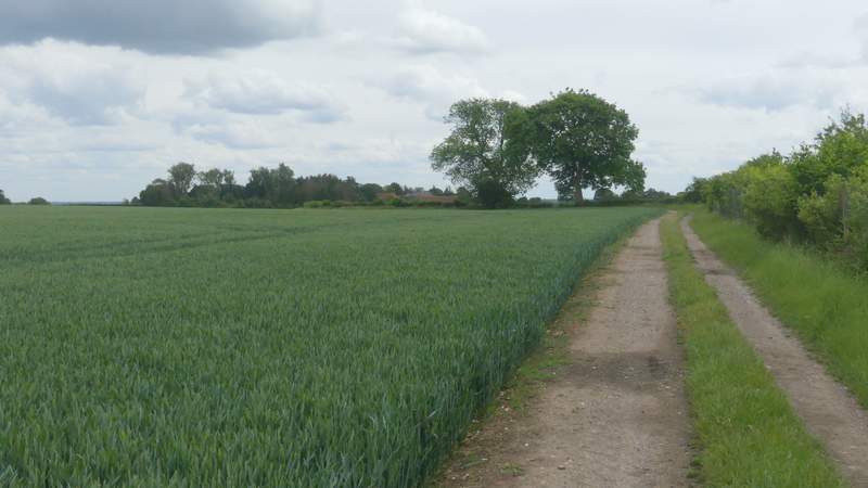
Shortly after passing through a short green tunnel (formed by a tall bit of hedge on the left and Kents Wood on the right), a prominent fingerpost indicated where the next path I wanted went right. This ran through a very large corn field, initially quite close to Kents Wood to my right. On eventually reaching the far side, the path continued beside a fairly young plantation of trees on my right and a tall hedge of mature trees on my left. When the hedge ended there was a field on the left. The path then turned left in a corner, only to soon turn right, now with a hedge on my right. I went straight on where another path went right, and after a few hundred yards passed close to Woodend farm on my right, continuing down its tree-lined drive to reach a lane.
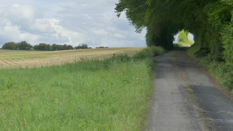
The lane after I turned sharply left at a junction
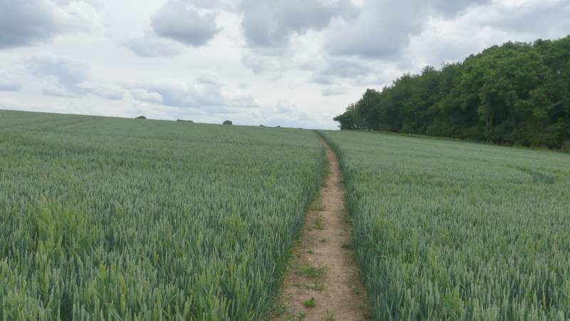
The path after I turned right, near Kents Wood
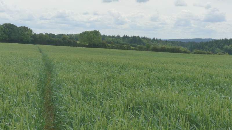
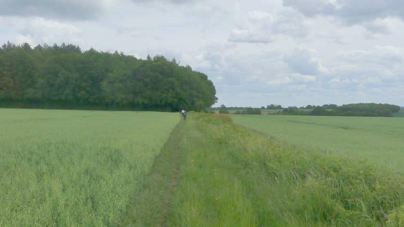
The path continuing across the corn field after passing Kents Wood
The path continuing towards Woodend Farm
The path continuing towards Woodend Farm
The path continuing towards Woodend Farm
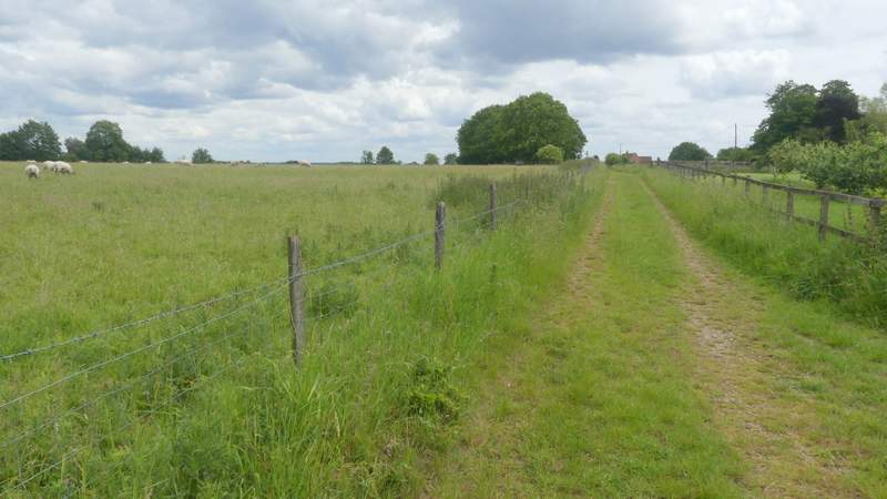
The path continuing towards Woodend Farm