Pete's Walks- Wigginton and Barn Wood (page 1 of 6)
If you are considering walking this route yourself, please see my disclaimer. You may also like to see these notes about the maps and GPX files.
I did this circular walk of about 12.7 miles on Saturday, 6th July 2019. It was a repeat of a walk I did in October 2011, and walked again in November 2016. Please note that this is a route I'd hesitate to recommend to other people, because the footpaths on the ground seem to vary from the OS map in two or three places (most unusual for this area).
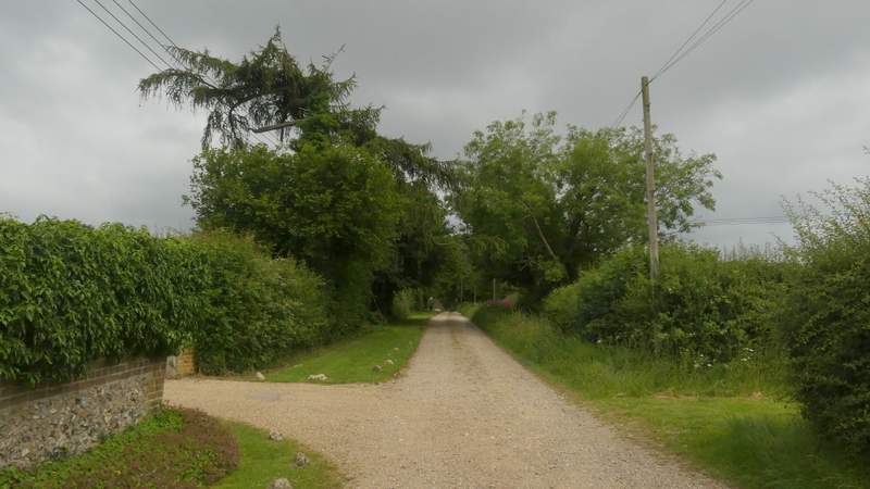
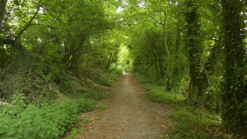
I started walking about 9.45am, from the car park by the sports field and play area in Wigginton, where there is now also the village shop and cafe (grid reference SP 938100 - almost opposite Lewin's Farm on the OS map). I followed the footpath from the end of the car park (so I had the play area behind me), which soon brought me to a street where I turned left. This street soon left the village, continuing west or southwest as the drive to Wick Farm - I remembered there being patchy fog here when I did this walk in 2016. After passing Wick Farm the footpath continued straight on along a farm track for several hundred yards until it ended at a road junction. I continued straight on down Church Lane, now in the hamlet of Hastoe (the highest settlement in Hertfordshire). After almost half a mile I came to another lane junction, where I went straight on for just a few yards before turning right along a byway (a sign here pointed to Hastoe Grove).
The drive to Wick Farm
The drive continuing from Wick Farm
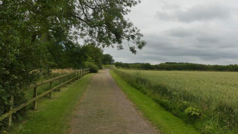
Approaching the end of the drive at a lane junction at Hastoe
Church Lane, Hastoe
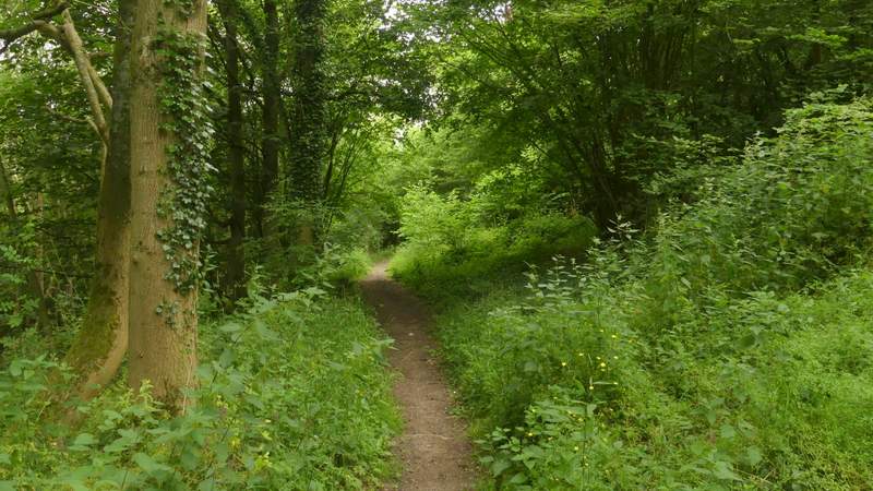
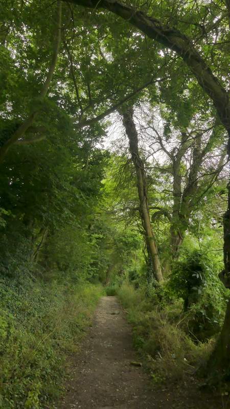
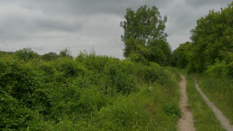
After a while the byway forked either side of a cottage, and I took the left fork. After passing the cottage's garden, this turned half-right and descended through Grove Wood. Having passed a bridleway coming in sharply from the left, at the bottom of the slope I turned left onto another byway. This ran between hedges either side, and soon turned left. I went straight on where another byway went right, but then soon came to a byway T-junction where I turned right.
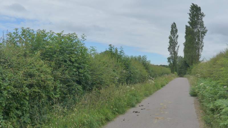
The byway to Hastoe Grove
783927
783927
783927
The byway after I turned left
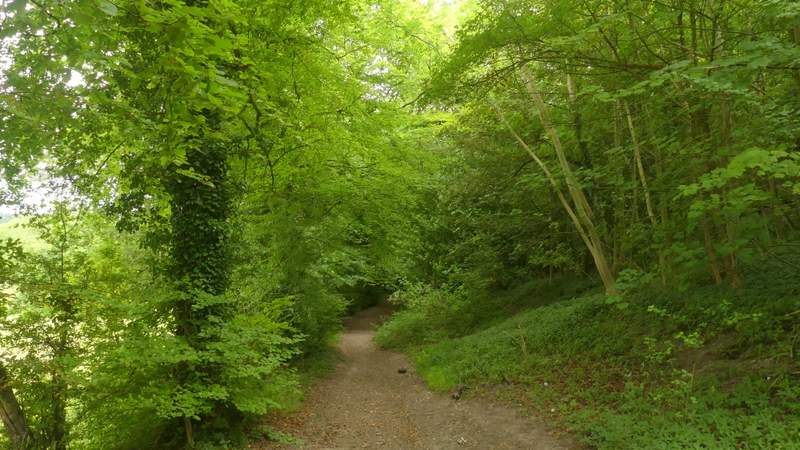
Further along that byway
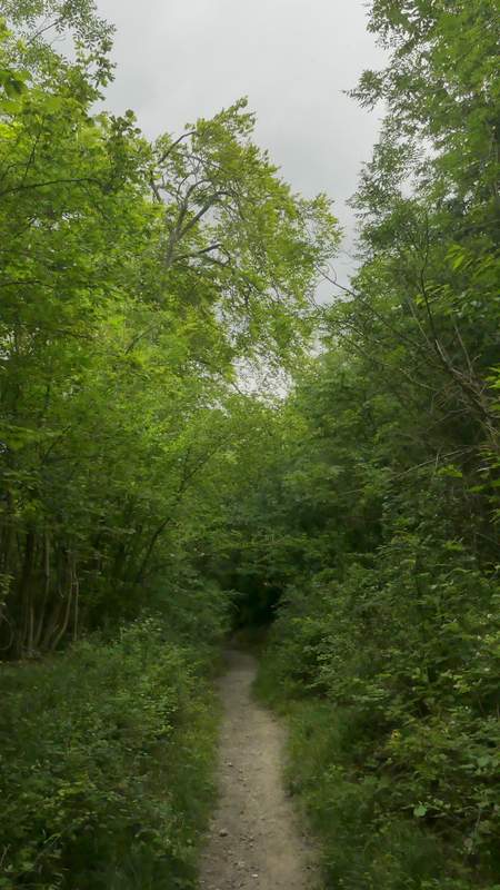
The next byway, after I turned right
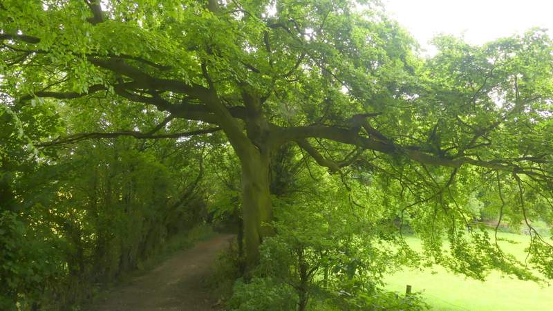
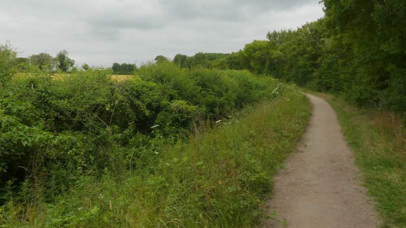
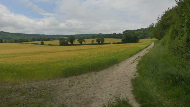
This byway soon brought me to a lane, where I crossed over and continued along yet another hedge-lined byway, this one named Fox Lane on the OS map. After about a quarter of a mile I turned left where a footpath crossed the byway, following a hedgerow on my right through two arable fields and then between fences a short distance to reach Dancer's End Lane. Here I turned right, but only for a short distance before taking a footpath on the left.
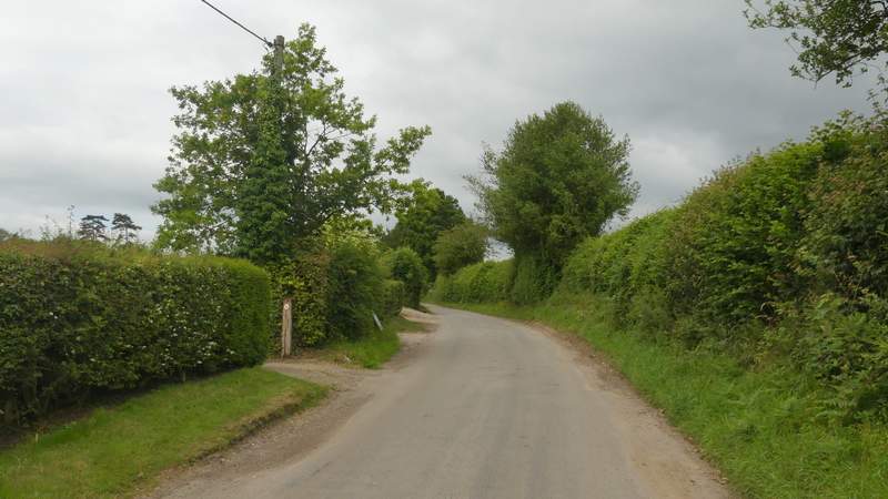
The byway (Fox Lane) continuing the other side of a lane
The byway (Fox Lane) continuing the other side of a lane
The footpath going left from Fox Lane
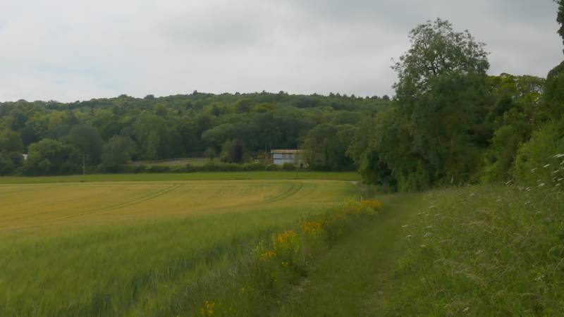
The footpath going left from Fox Lane, heading towards Aston Hill
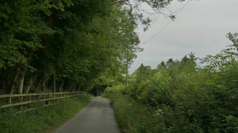
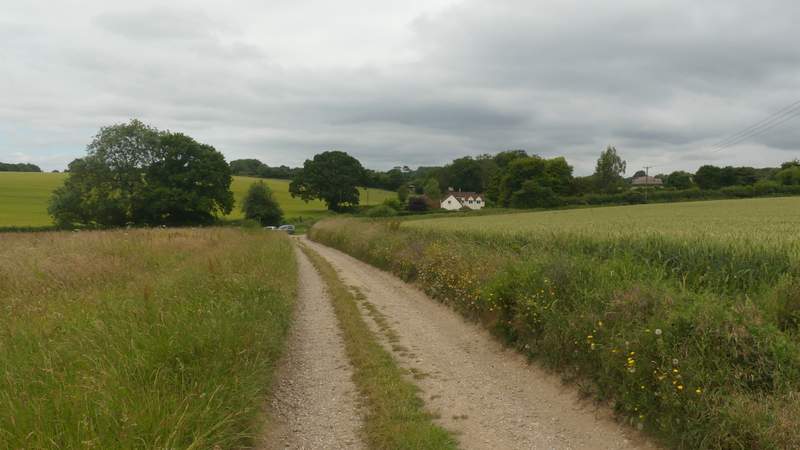
Dancers End Lane - the footpath I took starts near the end of the wood on the left, just before a gate on the right