Pete's Walks - Shortened version of Kensworth-Totternhoe walk (page 1 of 6)
If you are considering walking this route yourself, please see my disclaimer. You may also like to see these notes about the maps and GPX files.
I did this circular walk of about 11.9 miles on Saturday, 17th August, 2019. It was a shortened version of my of my Kensworth-Totternhoe (I've marked it as 'Alternative' on my Google map), a walk I used to do almost every year but haven't done for a few years now. I chose to do this route as it involved a lot of walking through Downs and other grassland where I was hoping to see an Essex Skipper butterfly.
I started by walking down Hollicks Lane, from where it begins close to the Farmer's Boy pub in Kensworth (or, more accurately, Kensworth Common). After a couple of hundred yards, by a new development of three or four houses, a footpath started running immediately to the left of the lane. The first 100 yards or so of the path has only been re-installed since that development was built, having been inaccessible for 50 years or more (despite being on the OS maps). After this 'new' section, the path followed the hedge next to the lane down and up a steep-sided valley (the lane is 1-in-7 or steeper on both sides of the valley) with a huge corn field on my left, Near the top of the far side of the valley, the path ended in the field corner and I rejoined Hollicks Lane, which was now approaching Church End, the original part of Kensworth.
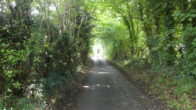
Hollicks Lane, Kensworth
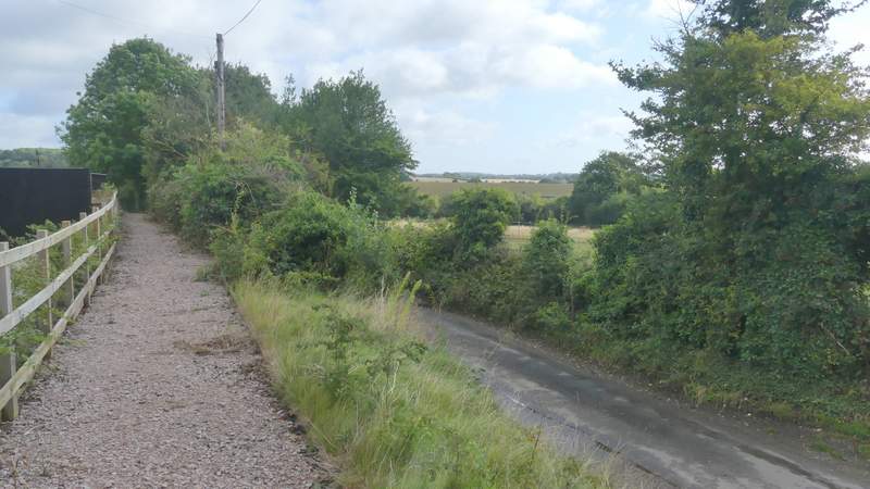
The start of the recently re-instated section of the path next to Hollicks Lane
The recently re-instated section of the path next to Hollicks Lane
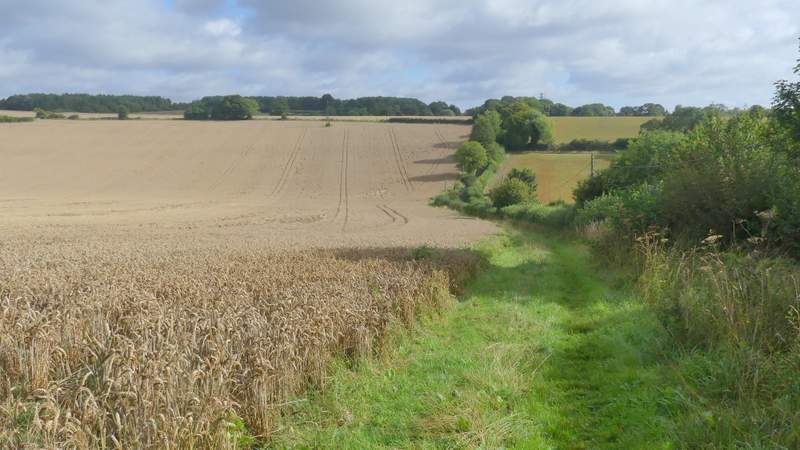
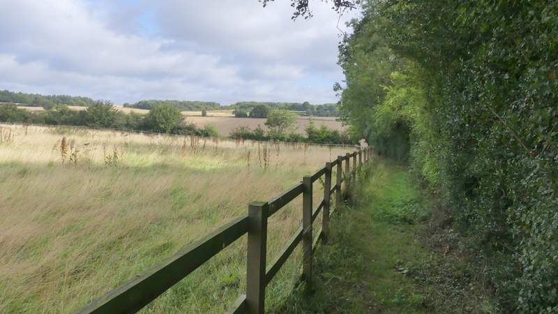
The path next to Hollicks Lane
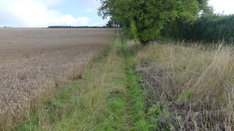
The path next to Hollicks Lane
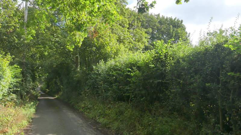
Hollicks Lane, approaching Church End
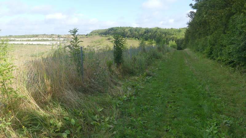
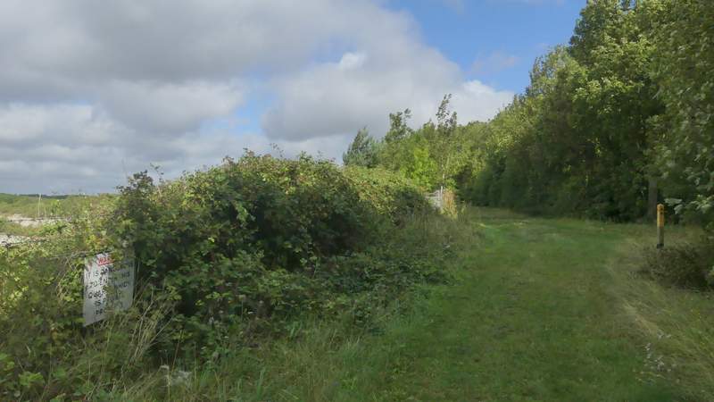
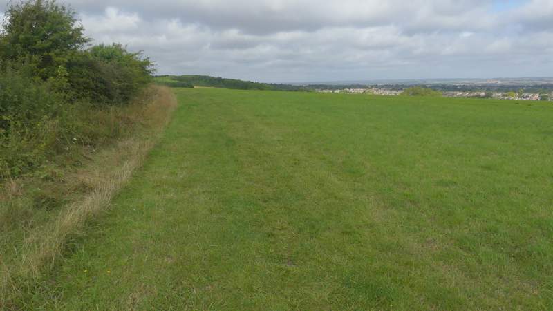
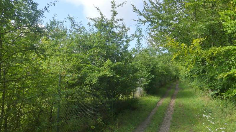
Where the lane turned right, I went across to the church gate and walked through the churchyard, keeping left of the church and aiming for a gate, Through the gate I continued through a meadow - I could have turned left part-way through the meadow, and then after a 100 yards or so turned right onto the path round Kensworth Quarry, but because the ground was quite soft I went straight on to reach Beech Road. I turned left, and almost immediately after the lane turned right, I took a path on the left that after a few yards brought me to the Quarry path (having avoided what can be a very muddy section of it). I turned right and followed the Quarry path, with the gaping white hole of the chalk quarry over the fence on my left. The path dropped down into a small valley, then curved left as it rose the other side. It was then fairly level as it passed a large grassy area from where I had views over Dunstable and beyond, with Blows Downs across the valley to my right. The path then continued for half a mile or so between the fence on my left and either a hedge or bushes or trees on my right.
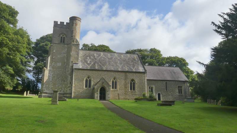
Kensworth church
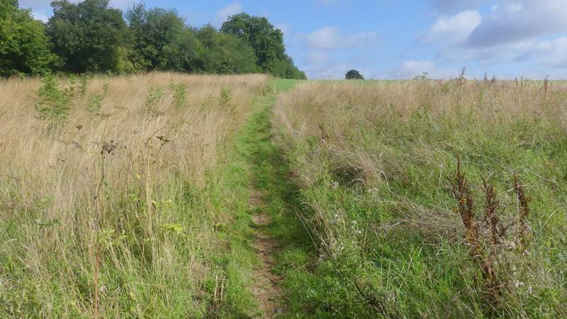
The path through the meadow behind Kensworth church
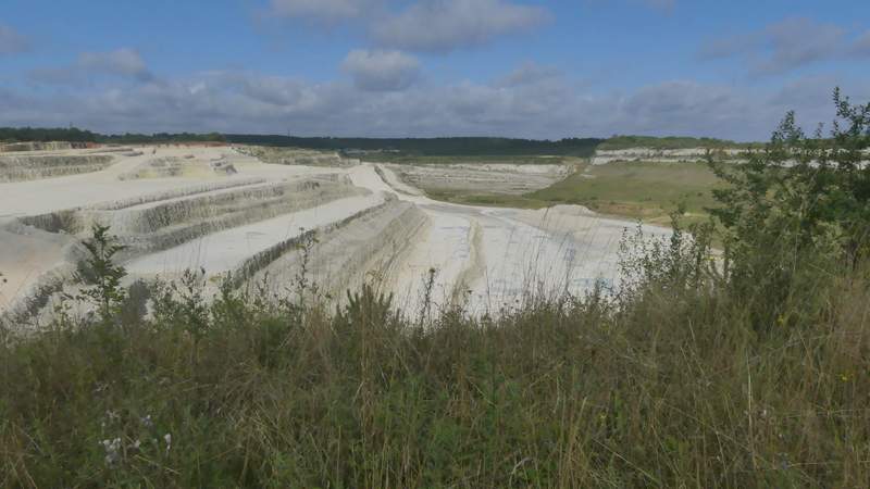
Kensworth Quarry, from where I joined the path round the quarry
The path round Kensworth Quarry
The path round Kensworth Quarry
The path round Kensworth Quarry
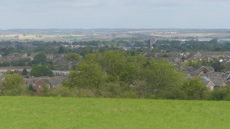
View over Dunstable and beyond, from the path round Kensworth Quarry
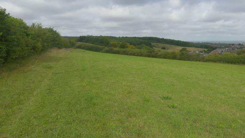
The path round Kensworth Quarry
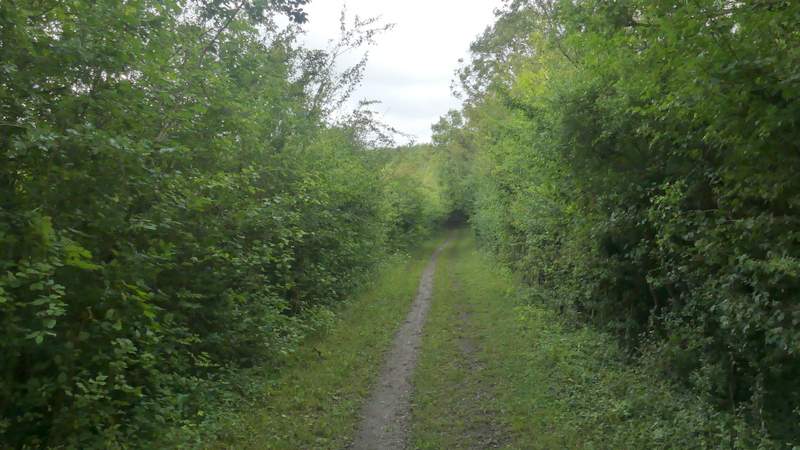
The path round Kensworth Quarry
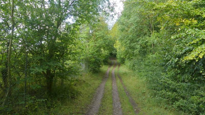
The path round Kensworth Quarry
The path round Kensworth Quarry
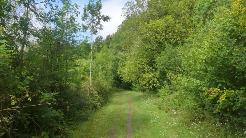
The path round Kensworth Quarry