Pete's Walks- Watlington Hill, Russell's Water, Swyncombe (page 3 of 6)
If you are considering walking this route yourself, please see my disclaimer. You may also like to see these notes about the maps and GPX files.
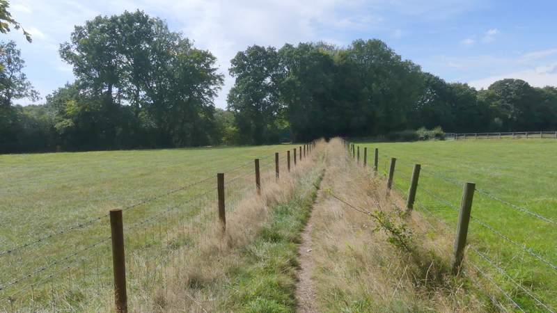
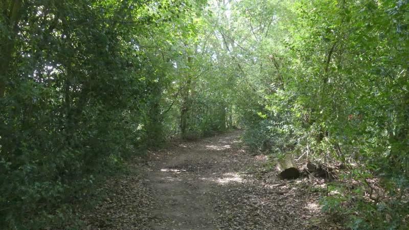
The bridleway then rose more slowly through Priors Wood on the other side of the valley. Beyond the wood, the bridleway ran between fences with paddocks or pastures either side, then turned right and followed a track to reach the corner of a lane in the hamlet of Park Corner.
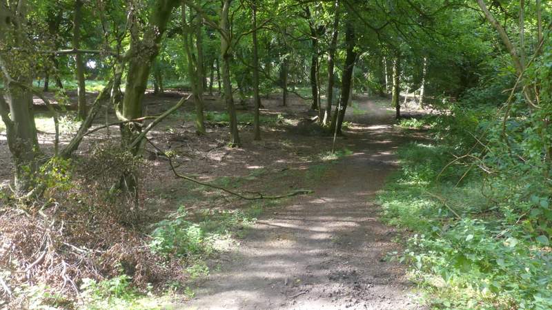
The bridleway continuing through Priors Wood
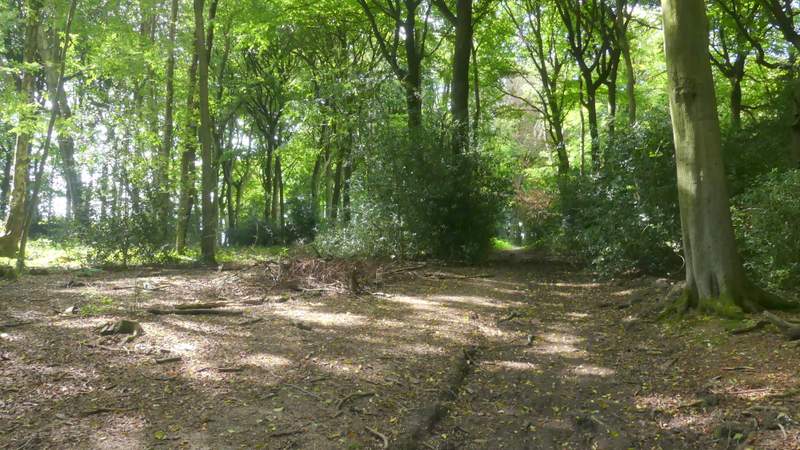
The bridleway continuing through Priors Wood
The bridleway continuing through Priors Wood
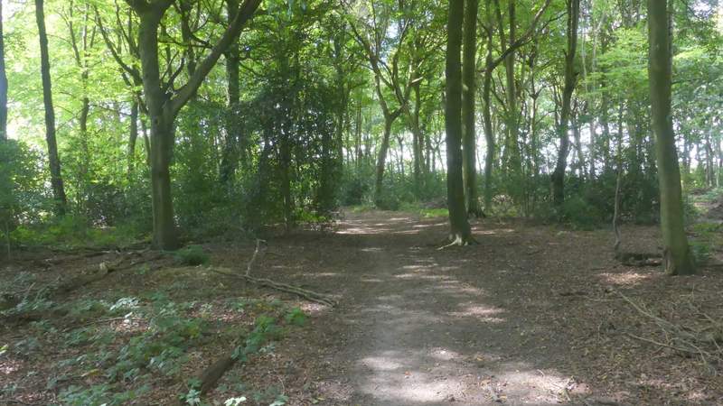
The bridleway after leaving Priors Wood
The bridleway approaching Park Corner
The bridleway approaching Park Corner
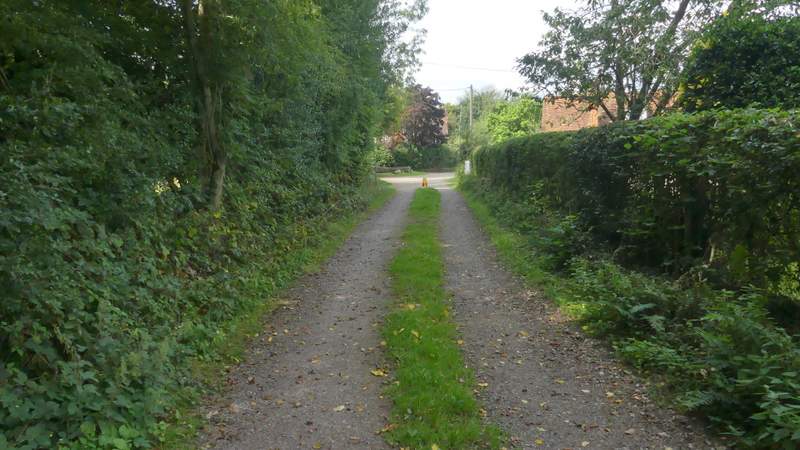
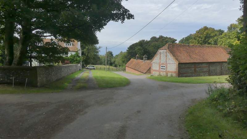
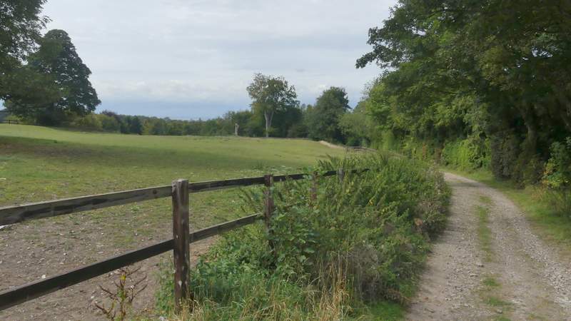
I went straight on along the lane (rather than go left). At its end, I turned right along the minor road through Park Corner, but only for a few yards before taking a lane on the other side. After three or four hundred yards I turned left onto a bridleway that followed the long surfaced drive to Ewelme Park (this used to be a royal deer park, I found this web site about its history).
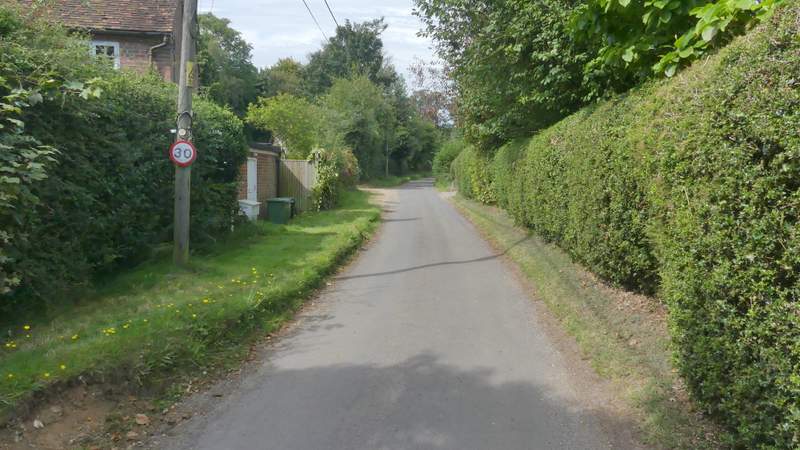
The lane through Park Corner
The lane from Park Corner
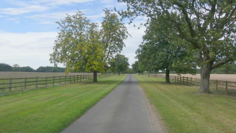
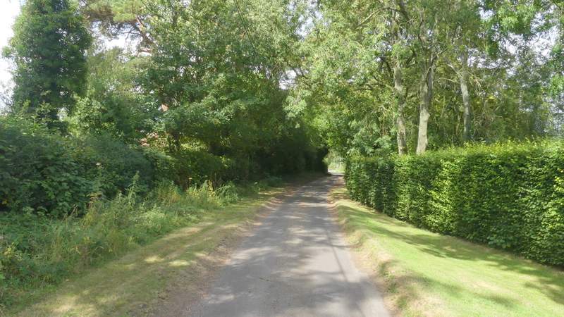
The drive to Ewelme Park
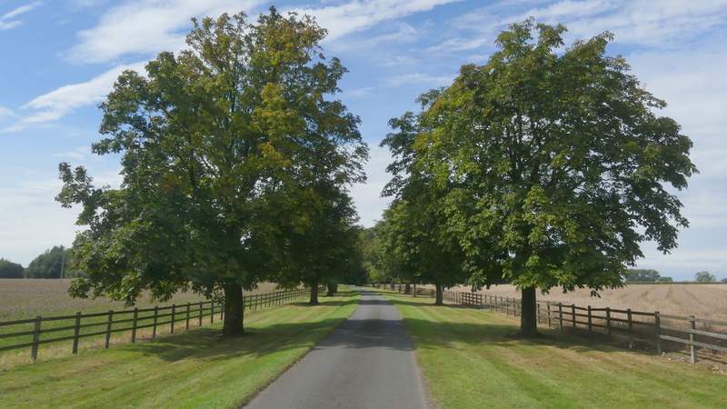
The drive to Ewelme Park
The drive to Ewelme Park
The drive to Ewelme Park (the bridleway keeps right at a fork by the tall tree in the center of the photo)
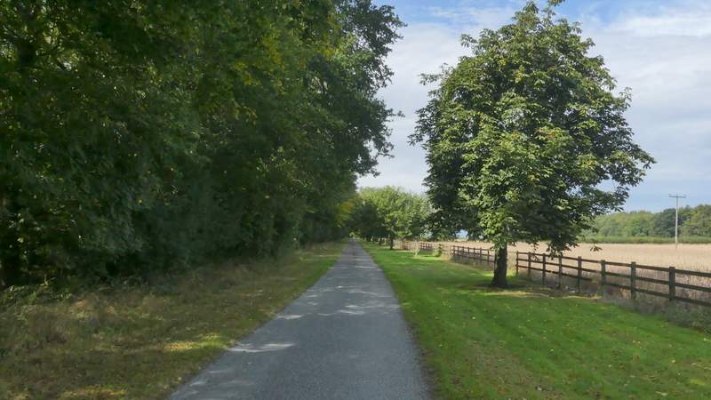
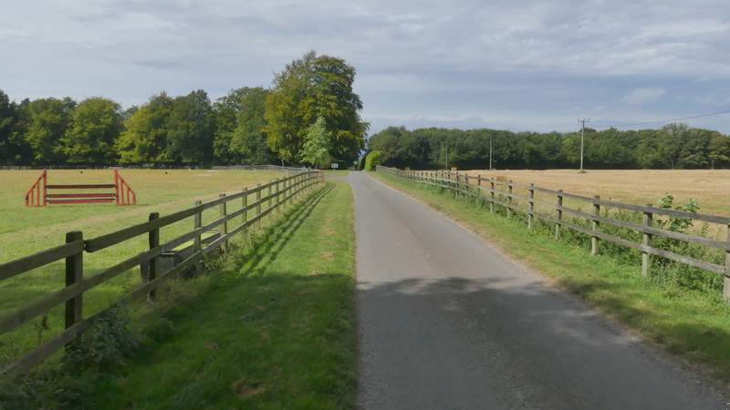
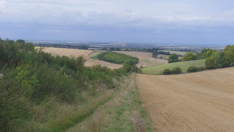
After about a mile, the bridleway crossed the route of the Ridgeway national trail, with the large house of Ewelme Park over to my left and a farmyard to my right. The bridleway passed a paddock on my left, went through some trees, then started to descend steadily downhill beside an embankment on my left. There was a really nice view ahead, out over the Oxfordshire Plain.
Where the bridleway crosses the Ridgeway at Ewelme Park
The bridleway continuing from near Ewelme Park
The bridleway continuing from near Ewelme Park