Pete's Walks- Christmas Common, Turville, Cadmore End (page 1 of 6)
If you are considering walking this route yourself, please see my disclaimer. You may also like to see these notes about the maps and GPX files.
Google map (this walk started at Christmas Common instead of Watlington Hill, and follow 'Alternative 1' on the map)
I did this circular walk of about 15.1 miles on Saturday, 7th September 2019. It was a repeat of a walk I last did in December 2016. Of the 100+ routes I've walked in the Chilterns, this is one of the ones I find the most challenging, with two pretty steep hills in quick succession between Turville and Cadmore End.
I parked in Christmas Common (a few yards down the road that forks off to Northend, there are a few parking places on the right), Grid Reference SU 714933, and started walking at about 10am. I went the few yards back to the road fork and turned left. About a hundred yards after passing the Fox and Hounds pub on my right, I took a footpath on the left that soon entered Queens Wood. On the far side of the wood the path went a few yards left along a drive to reach Hollandridge Lane, where I turned right. I was briefly on the route that I walked last week, but just past the last house on the right I took a bridleway on the left. This dropped gently downhill through a wood named Prior Grove, to a valley bottom where it turned right (a footpath went straight on, towards Northend). I was now in Fire Wood, and had simply to follow the bridleway through the wood and along the valley bottom for about a mile.
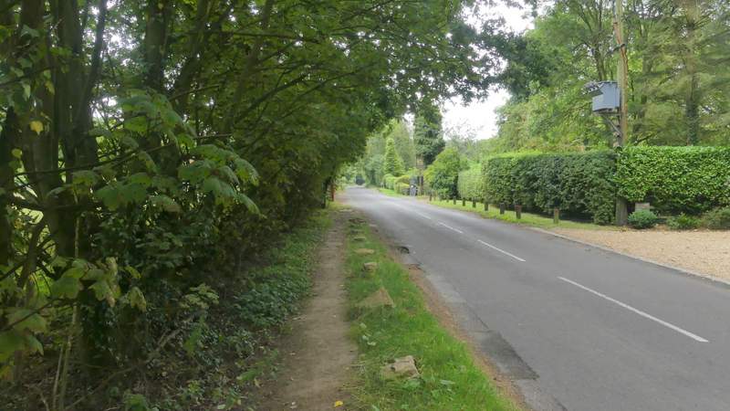
The road through Christmas Common

Path through Queen Wood, Christmas Common
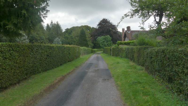
Hollandridge Lane
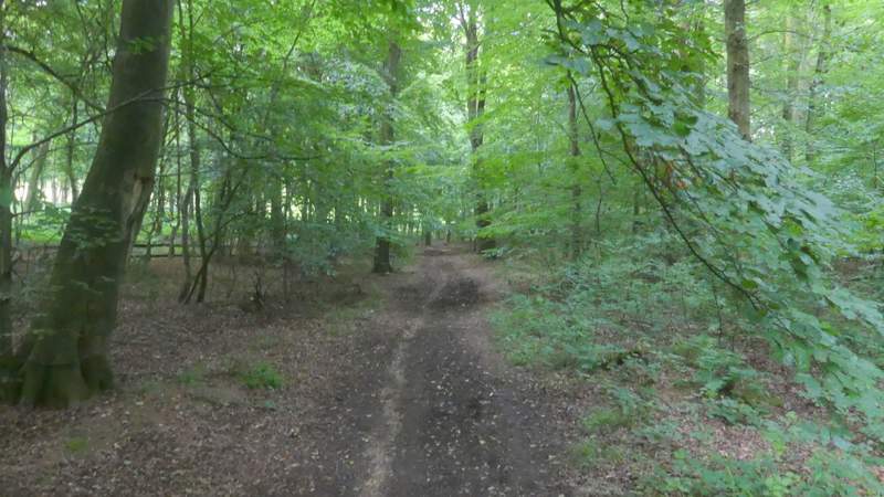
The bridleway in Prior's Grove, Christmas Common
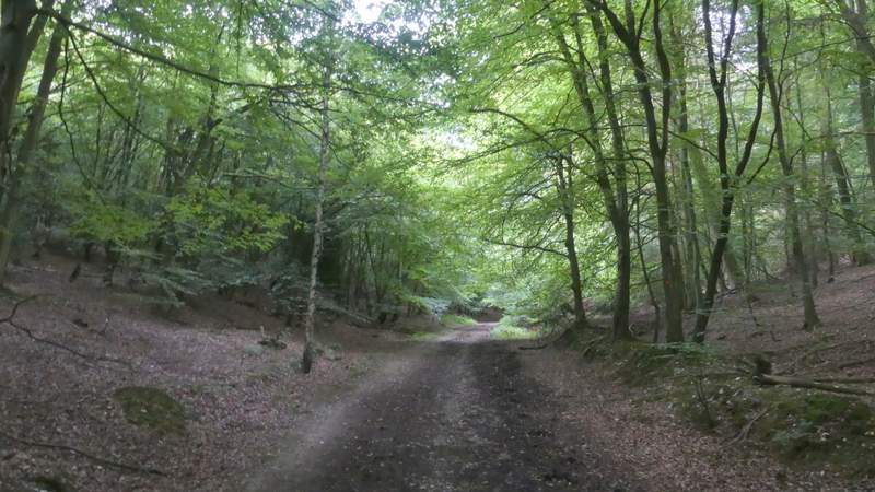
The bridleway through Fire Wood
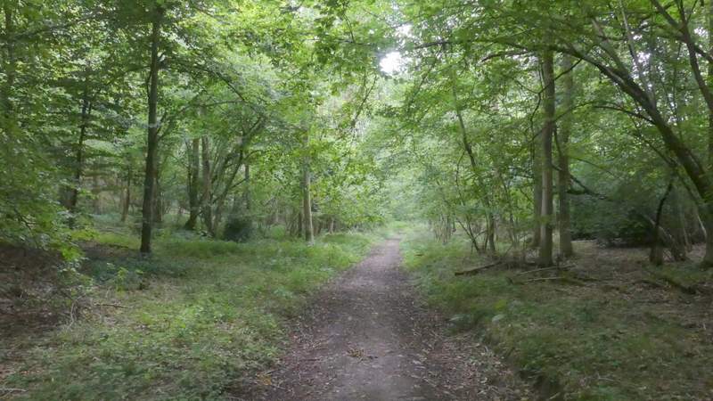
The bridleway through Fire Wood
The bridleway through Fire Wood
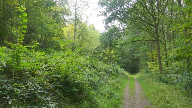
The bridleway through Fire Wood (immediately after crossing the route of the Chiltern Way)
The bridleway through Fire Wood
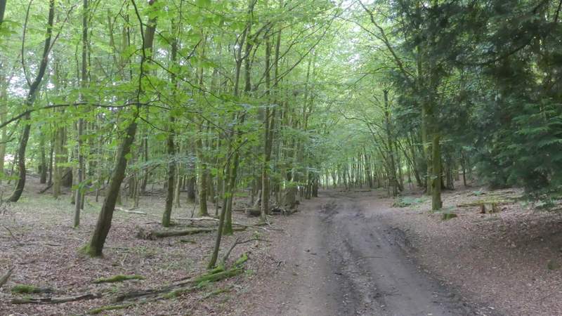
The bridleway through Fire Wood
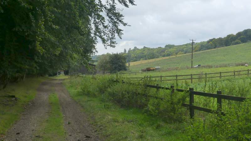
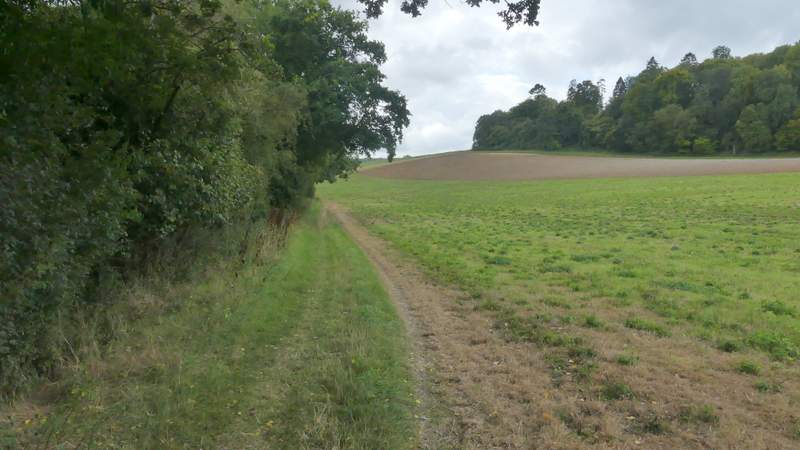
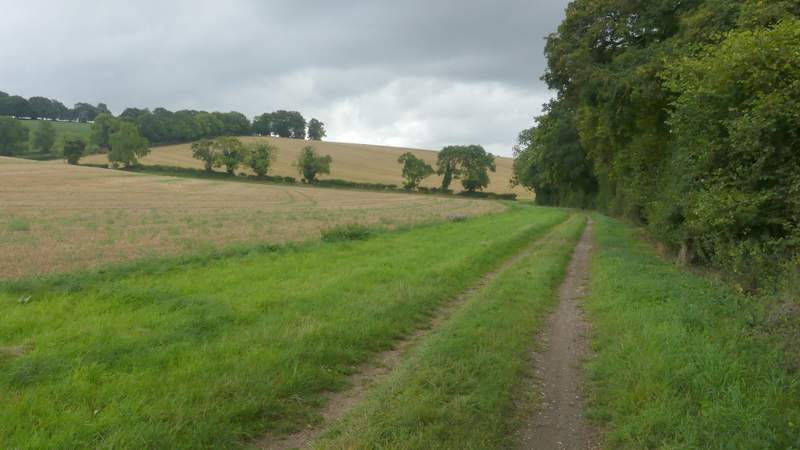
Eventually the bridleway reached the end of the wood and soon curved right to pass Turville Park Farm. Beyond the farm the bridleway continued along the valley bottom, initially along a broad track between fences - a cyclist passed me at a gate along here, and we agreed that the weather was disappointingly grey compared to what the forecasters had promised. The bridleway then continued alongside a hedgerow on my left. I went straight on past a gap in the hedge just before the hedge and bridleway bent left, then a bit further on I reached another gap where a waymark showed that the bridleway switched to the left of the hedgerow. Three or four hundred yards after this I turned left onto a footpath going quite steeply uphill through a field of stubble. At the top of the hill there were some nice views, including one on my right towards Stonor.
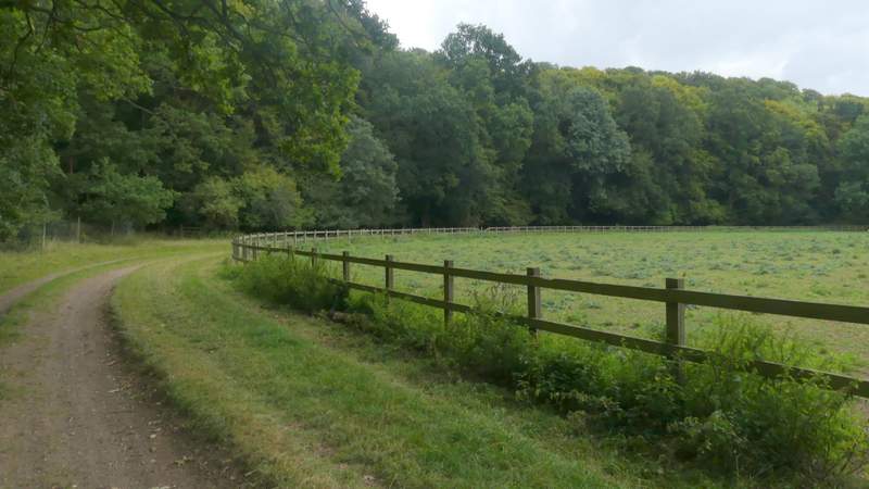
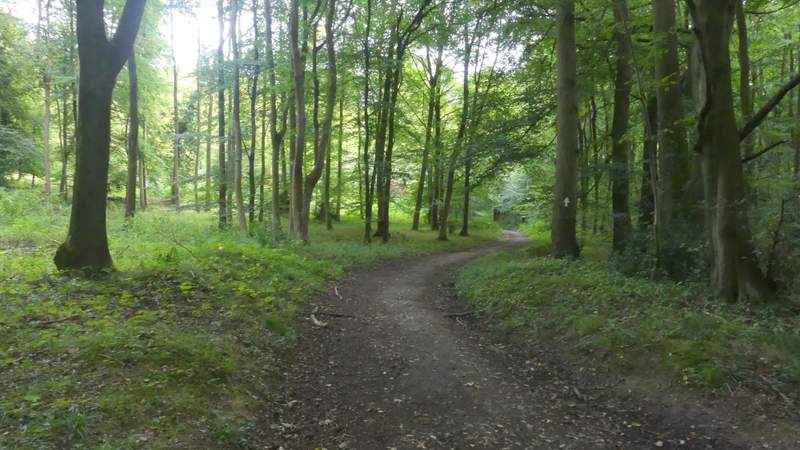
The bridleway continuing towards Turville Park Farm
The bridleway continuing towards Turville Park Farm
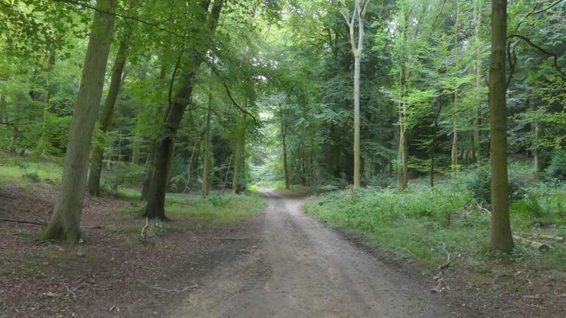
The bridleway continuing from Turville Park Farm
The bridleway continuing from Turville Park Farm, after it switches to the left of the hedgerow
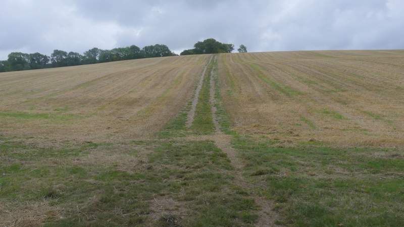
The start of the path to Turville Heath, after I turned left from the bridleway
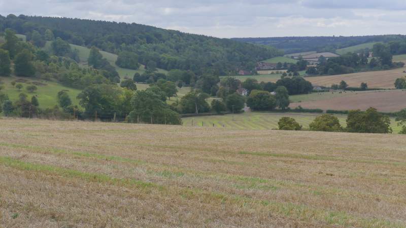
View right from near the top of the hill, towards Stonor