Pete's Walks - Cadmore End, Horsleys Green, Moor Common (page 1 of 7)
If you are considering walking this route yourself, please see my disclaimer. You may also like to see these notes about the maps and GPX files.
Google map of the walkDownload GPX file of the walk
I did this (almost) circular walk of about 15.6 miles on Saturday, 14th September 2019. It was a new route for me, which as usual I'd cobbled together by studying the OS maps. It included several paths I'd never walked before and a few paths that I'd not walked for several years, with about half of it being on more familiar paths. It was a lovely sunny day - I'd forgotten how nice September can be for walking. At the end of the walk I was very surprised that the 15.6 miles had taken me about 6 hours and 5 minutes (and that's allowing 10 minutes for the fact that I took about 100 photographs more than usual, and 10 minutes for the time I spent studying the map at various points).
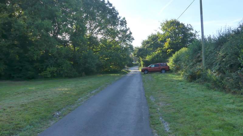
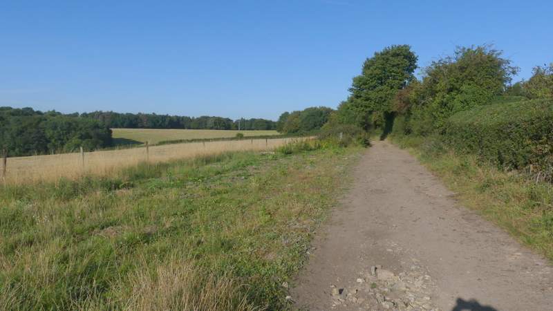
I parked along the start of Church Road in Cadmore End (it starts almost opposite the village school) (Grid Reference SU 783927) and began walking about 9.00am (I'd managed to get up early and leave home an hour before I normally do). I walked down Church Road with the small green on my left, then just after passing the village church I turned right and followed a bridleway along a farm track, with attractive wooded views over the hedge on my left. Just before the track turned left, I forked right onto another bridleway that ran through a small area of trees (there was a seat here, overlooking what was, today, a totally dried-up pond), and then turned right along another farm track with a hedge on my left. After passing a couple of fields the bridleway started to drop downhill as it curved left. It then continued very gently downhill just inside the northern edge of Hanger Wood for several hundred yards until it reached Chequers Lane (it ends or starts opposite the Chequers pub in Fingest).
Church Road, Cadmore End
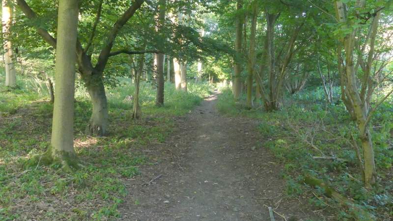
The bridleway from Cadmore End, after I turned right near the church
The next bridleway after I turned right
Further along that bridleway
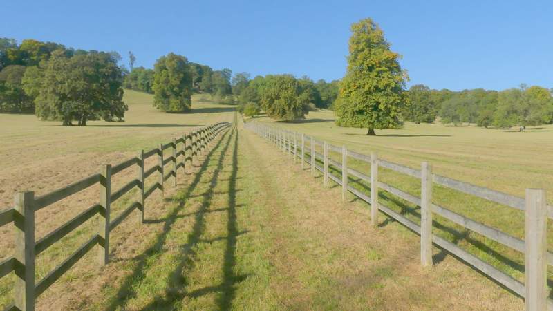
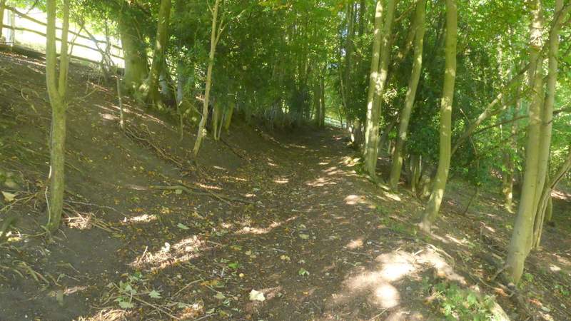
The bridleway continuing along the northern edge of Hanger Wood
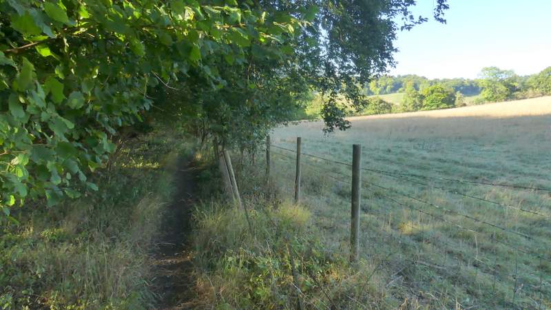
The bridleway continuing along the northern edge of Hanger Wood
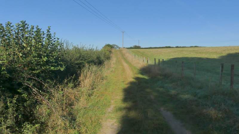
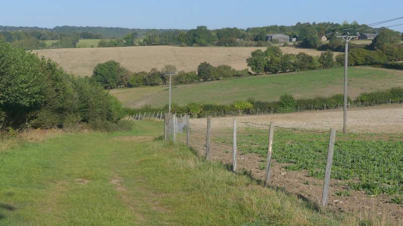
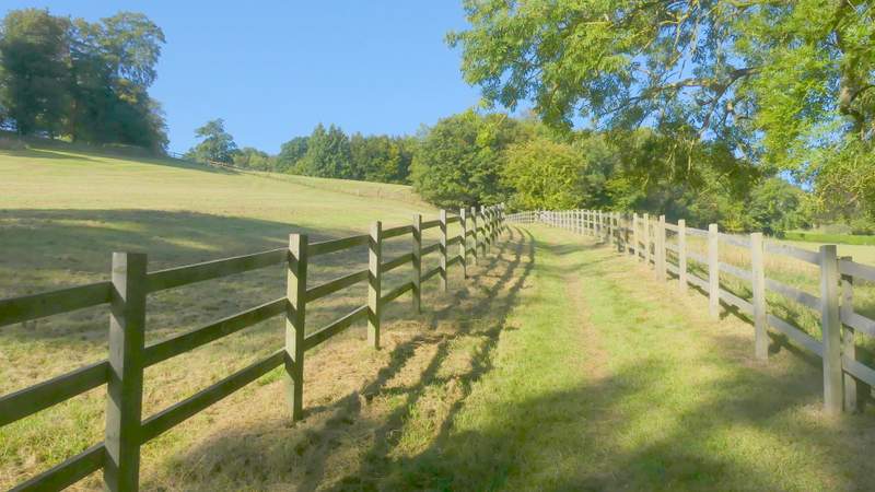
Across the lane a footpath continued across a large field (a meadow this year, sometimes it's a sheep pasture) to the far left corner (the OS map shows the path cutting a tiny corner of the field on the left). The path then went left down a hedge-lined farm track (I saw a dozen or so Partridges along here) to reach a tree-belt running along the valley bottom. Here I turned right along a bridleway running through the trees, but only for a very short distance before turning left through a gate. I now followed another bridleway gradually uphill between wooden fences. There were mature trees dotted about the grassy enclosures either side, so this was clearly the park around Ibstone House, which I could occasionally glimpse uphill and just to the right. I'd only walked this path once before, in the opposite direction, and that had been on a foggy day in January 2015, so this was the first time I'd been able to admire the views (mainly behind me). Eventually the bridleway went through a small piece of woodland and then turned left to end at a road. I turned right and followed the road a short distance into Ibstone.
The footpath going east from Chequers Lane
The farm track after I turned left
The bridleway after I turned right and then left - it looks flat, but this is going uphill towards Ibstone
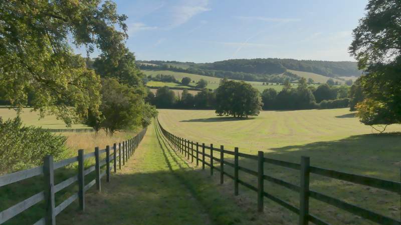
Looking back along the bridleway
Further along the bridleway
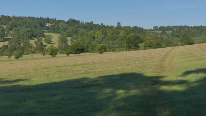
View right from the bridleway
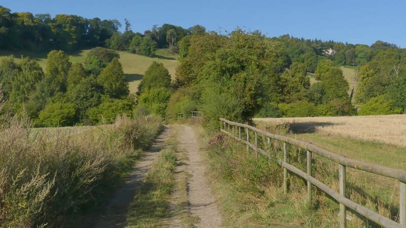
The bridleway continuing through a small wood
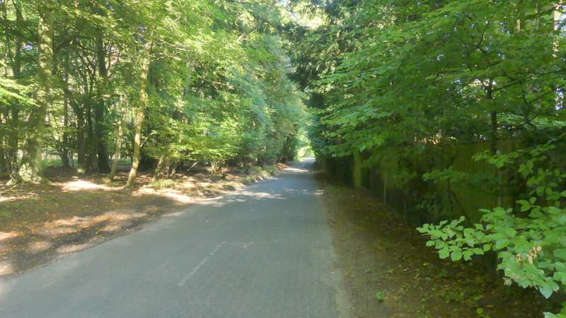
The road into Ibstone