Pete's Walks - Maidensgrove, Ibstone, Middle Assendon (page 1 of 5)
If you are considering walking this route yourself, please see my disclaimer. You may also like to see these notes about the maps and GPX files.
I did this circular walk of about 12.1 miles on Wednesday, 16th June 2021. It was a shortened version of my Maidensgrove, Ibstone, Middle Assendon walk that I first did in May 2016, which I still think is the best walking route I know in the Chilterns. I have often thought of doing a shortened version of the route, suitable for days when I don't have the time (or energy!) to do the full fifteen miles. This was a very warm day, and I'd have struggled to do the full route (I don't handle the heat well) so the shortened version made sense. Shortening the route was simple, by going directly back to Maidensgrove from Stonor instead of including Middle Assendon in the route.
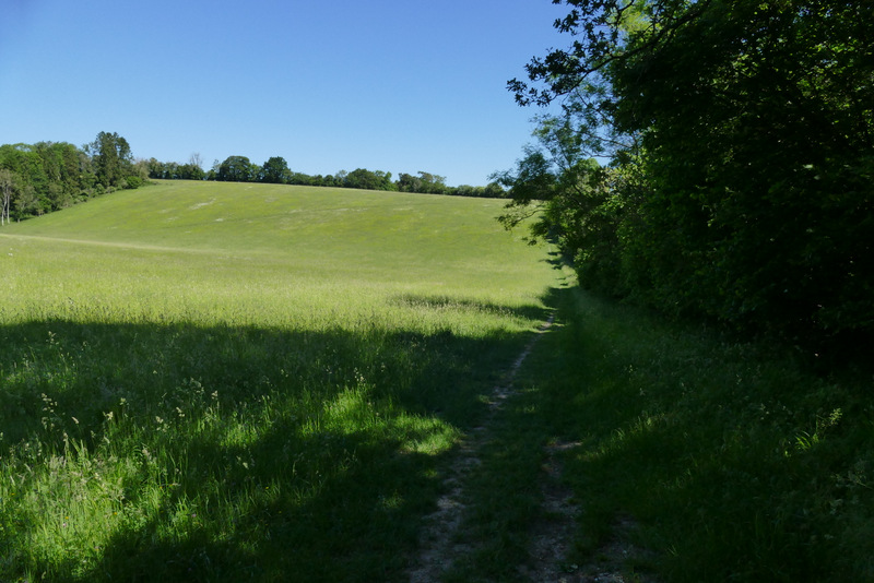
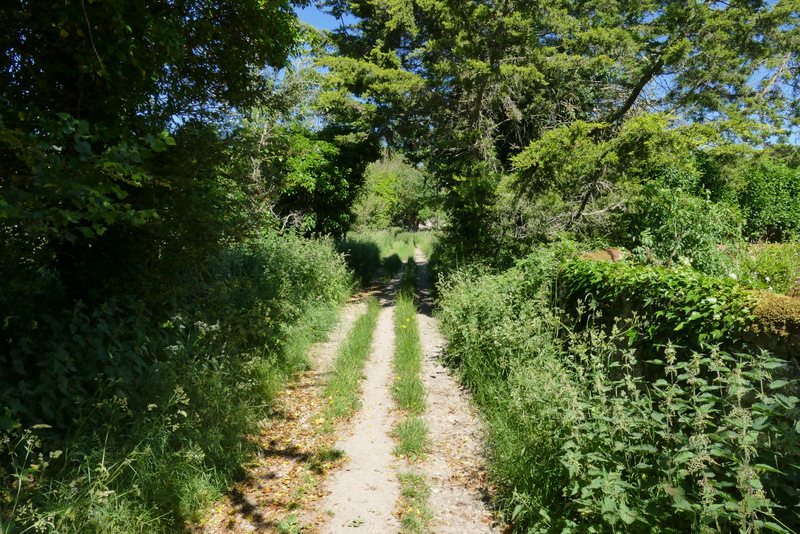
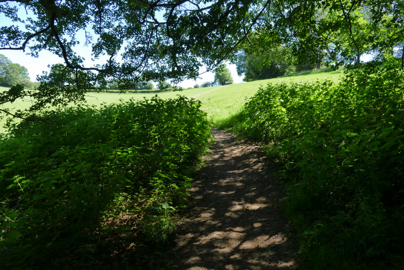
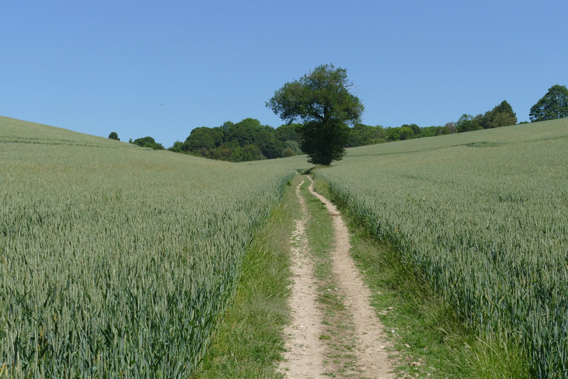
I parked on the lane that crosses Maidensgrove Common (grid reference SU 717886), just outside Maidensgrove itself and started walking about 10.10am. I followed the lane into Maidensgrove (so the larger part of the common was on my left). At a junction where a lane went right, I turned left along a private drive, soon passing a pond on the edge of the common on my left. At the end of the drive a short path continued into Pishillbury Wood, almost immediately meeting a bridleway where I turned left. After a hundred yards or so I went straight on where a path went right (the OS map shows these two junctions as a crossroads). After a while the bridleway started to drop down hill quite steeply, now following the boundary between Pishillbury Wood and Doyley Wood on my left.
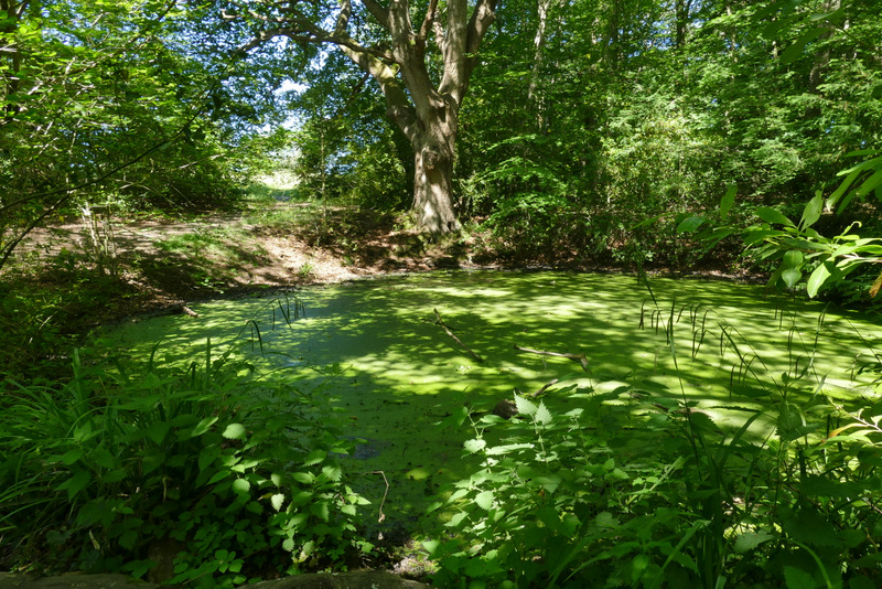
Pond on the edge of Maidensgrove Common, near the start of the private road through part of Maidensgrove, after I turned left
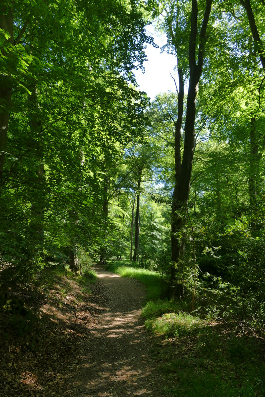
Pishillbury Wood
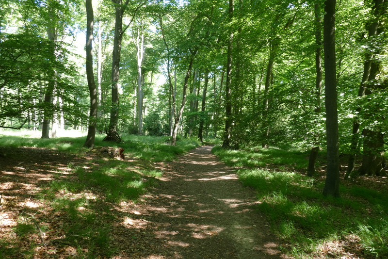
Pishillbury Wood
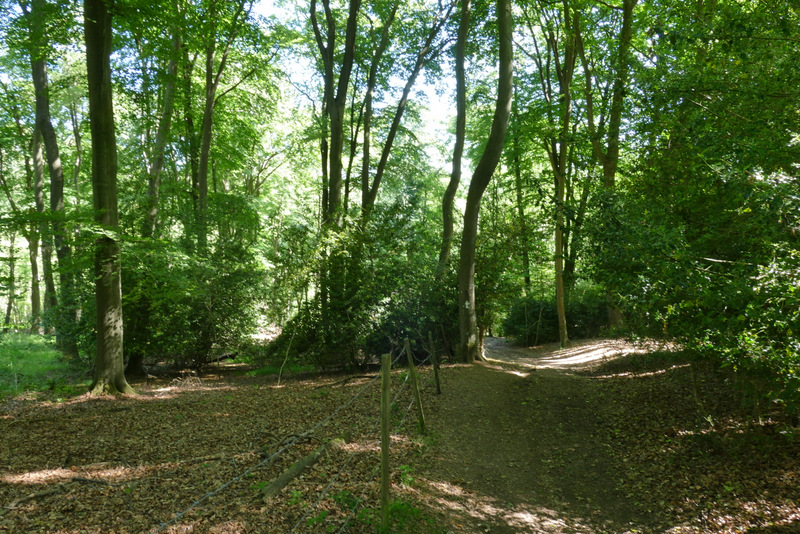
The bridleway descending, roughly along the boundary between Doyley Wood and Pishillbury Wood (right)
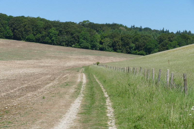
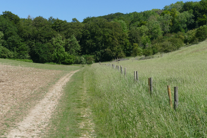
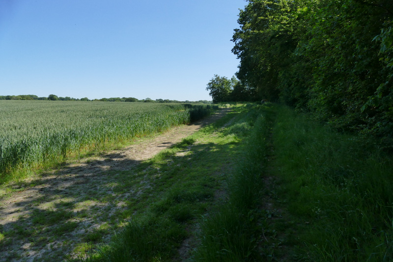
Near the bottom of the slope, the bridleway left the woods and continued on beside a tall hedgerow on my right beside a large meadow. There was a short but rather steep climb up the other side of the valley here (longer and steeper than I remembered, as is usually the case!). The bridleway then joined a drive (merging with another bridleway at this point), which soon became a lane that ran past Pishill church on my left and continued to reach a minor road. I went a little way right along the road to where it turned right, at which point I went left along a footpath that was headed north to College Wood. The path followed a track beside a fence on my right along a valley bottom for about a third of a mile.
The bridleway continuing towards Pishill
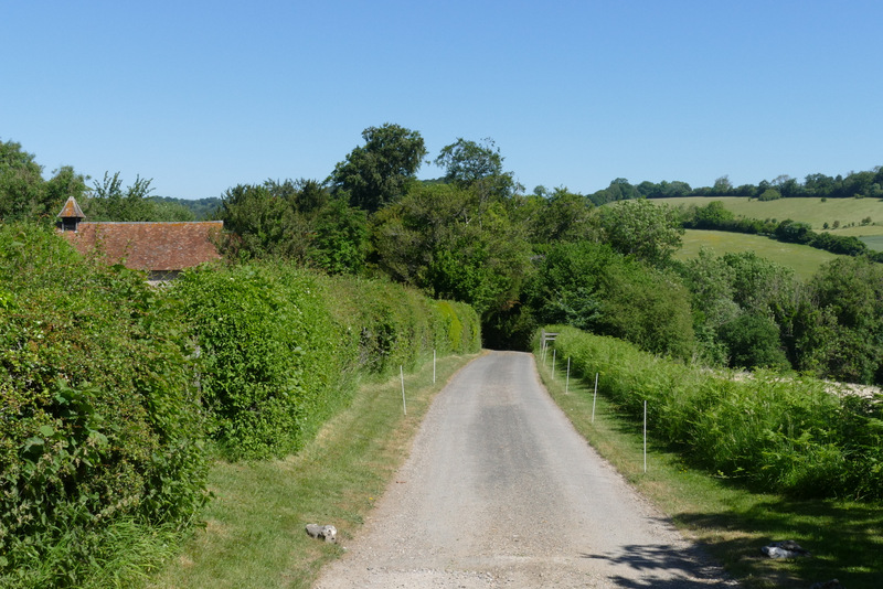
The lane past Pishill church
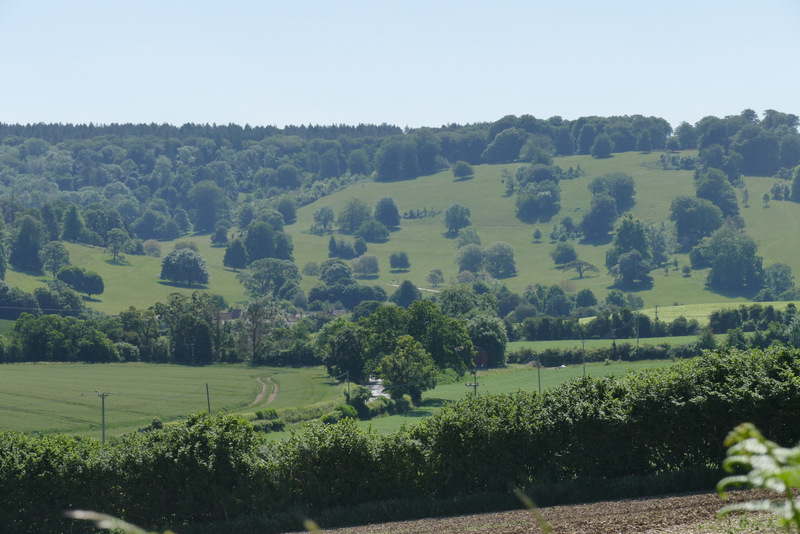
View towards STonor deer park, where I'd be walking much later, from near Pishill church
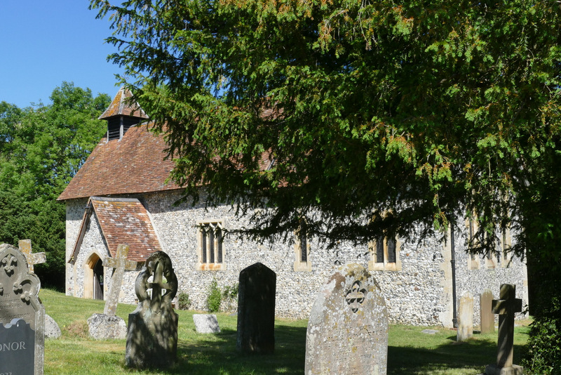
Pishill church
The start of path heading north from Pishill to College Wood
The path heading north from Pishill to College Wood
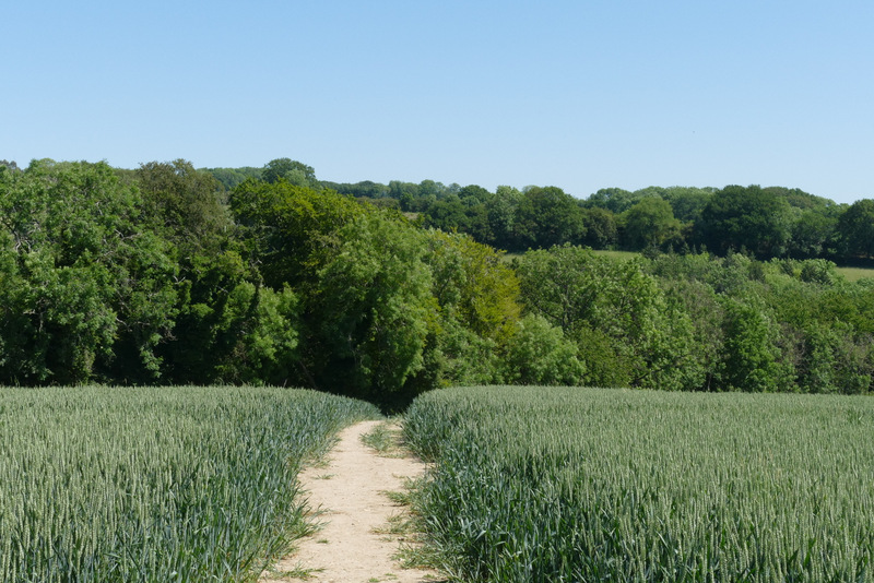
Approaching College Wood
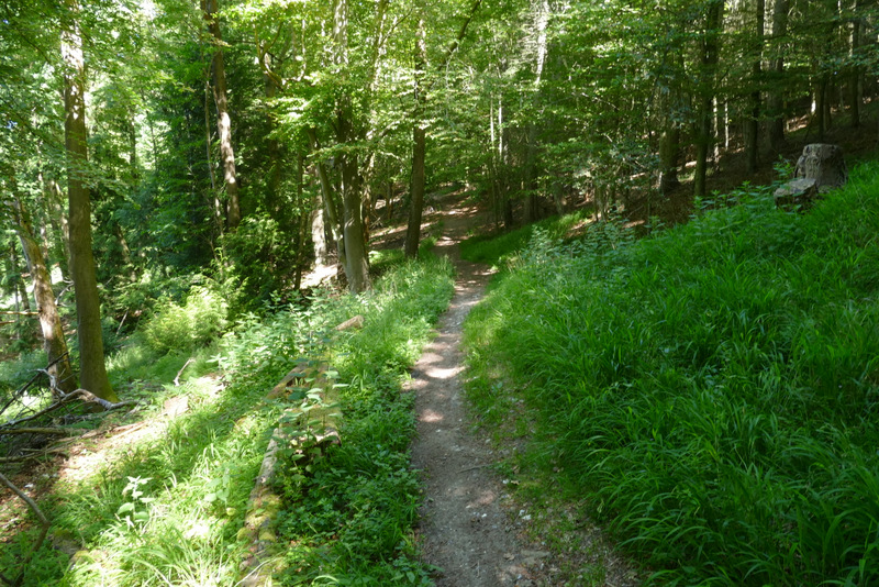
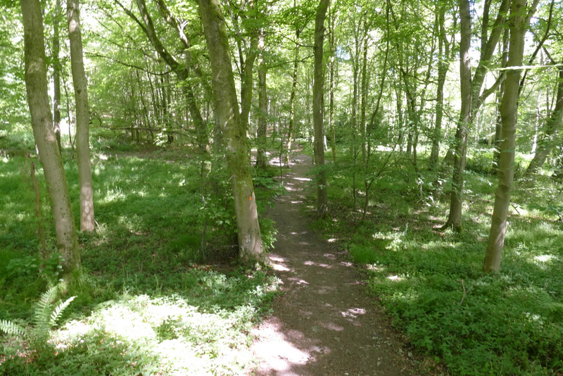
On entering College Wood, the path turned slightly right and started to rise slowly up that side of the valley. It levelled out for a couple of hundred yards, before turning right and going more steeply uphill for a few yards, before turning left, now close to the edge of the wood on my right. The path was now almost level again, and brought me to a path junction where I turned right and almost immediately left College Wood at a gate. The path led across a meadow to Hollandridge Lane, across which it followed the edge of a field for maybe a hundred yards, before bearing slightly left across the field and dropping downhill to reach Fire Wood. A little way into the wood I went straight on at a crossroads, now on a bridleway. On leaving the wood, the bridleway followed the bottom of a shallow valley. After a few hundred yards I reached a hedge corner where I turned left alongside the hedge. I soon reached a pedestrian gate where the path went left along an 'alley' beside a property on the left. At its end, I crossed a narrow piece of common to reach the road through Northend (so named because of its position within the parish of Turville, I'd be passing though Southend later).
. 
The path continuing through College Wood
The path from College Wood to Hollandridge Lane
The path continuing across Hollandridge Lane
The path descending to Fire Wood
Fire Wood, approaching the bridleway crossing
The path continuing from Fire Wood towards Northend