Pete's Walks - Cowleaze Wood, Stokenchurch, Shirburn Hill (page 3 of 5)
If you are considering walking this route yourself, please see my disclaimer. You may also like to see these notes about the maps and GPX files.
On reaching a path T-junction I turned right on to a bridleway (I'd crossed it earlier on the walk when I went straight on at a path crossroads in Langleygreen Plantation), I followed the bridleway for some distance through the wood, until it reached a safety barrier next to a road. I could have simply stepped over the safety barrier here and turned right, but following my mantra of "The walk, the whole walk and nothing but the walk" I followed the bridleway alongside the safety barrier for another 150 yards to where they both ended, then came back along to road side of the barrier. The road soon crossed over the M40 (I'd been hearing noise from it for some while), then after a few hundred yards I took a footpath on the left. This went up a flight of concrete steps and then continued through a wood to reach a drive (leading to the main car park for the Aston Rowant nature reserve), where I turned left.
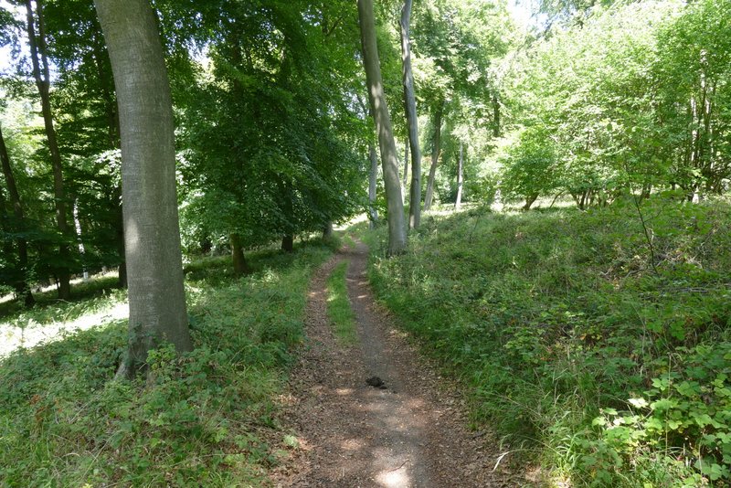
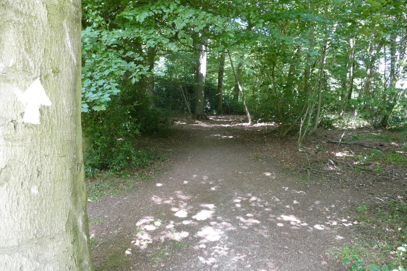
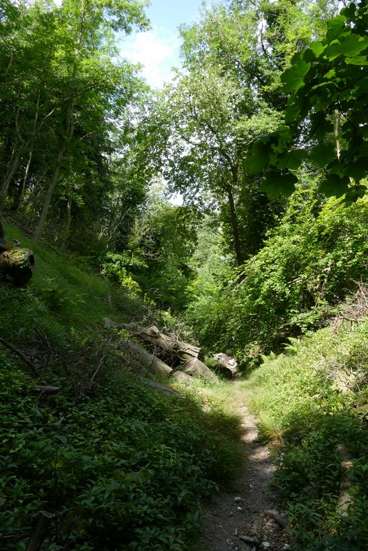
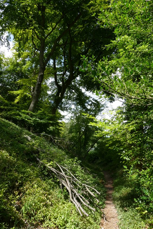
The bridleway through Hailey Wood, after I turned right at a T-junction
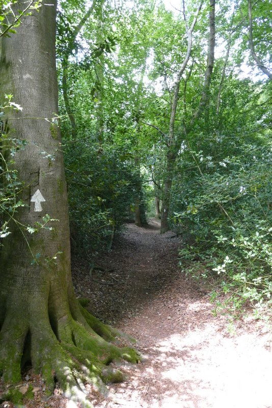
The bridleway through Hailey Wood
The bridleway through Hailey Wood
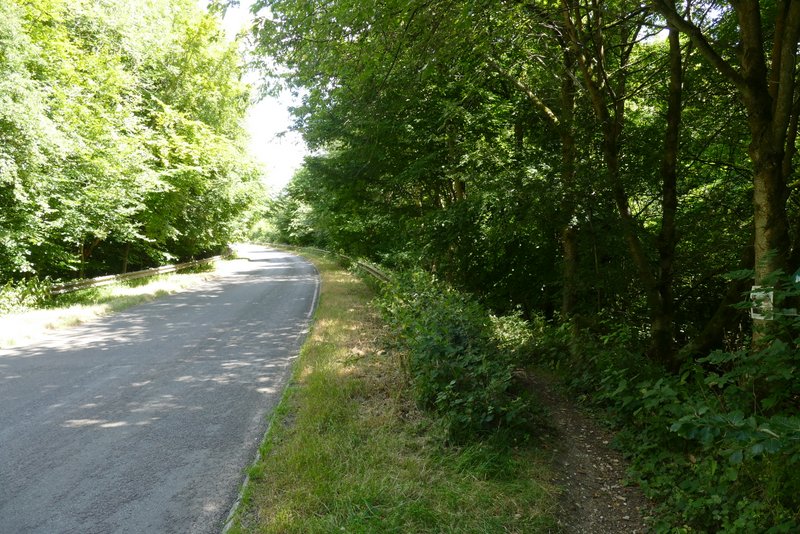
The road, where I turned right at the end of the bridleway
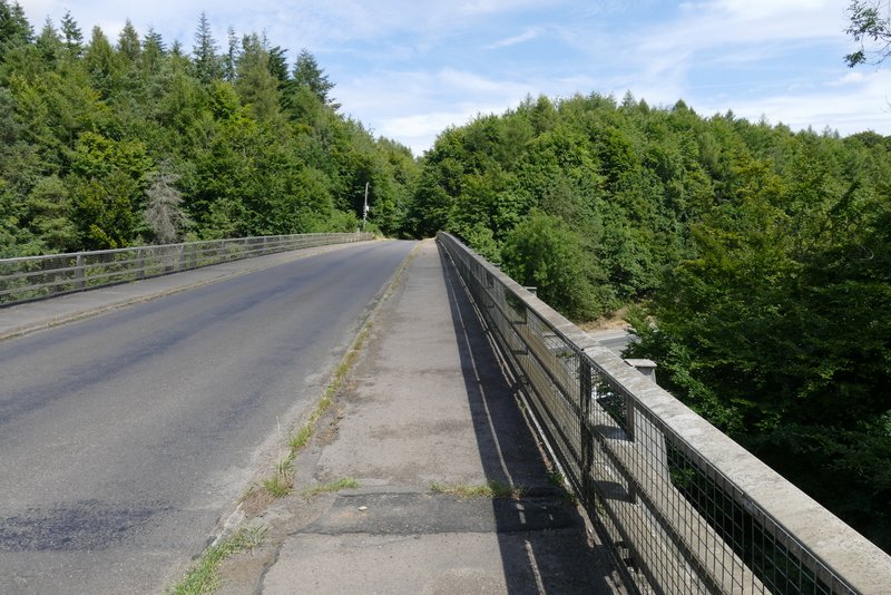
The bridge over the M40
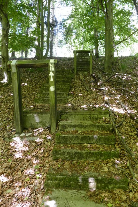
The steps at the start of the path I took on the left
The path continuing towards Aston Rowant nature reserve
The drive to Aston Rowant nature reserve
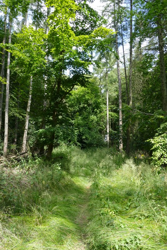
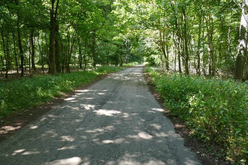
Where the drive turned slightly left (with a small parking area on the right), I took a footpath heading into the wood on the right. After a hundred yards or so, the footpath turned left at a junction where a permissive path went straight on. The footpath now followed a sunken lane or 'hollow way', a groove in the hillside created over hundreds of years, heading roughly northwestward and gently descending. The OS map shows the descent is about three quarters of a mile, it seemed a bit longer than that - it was very nice going down it but I suspect it would be a bit wearying going the other direction.
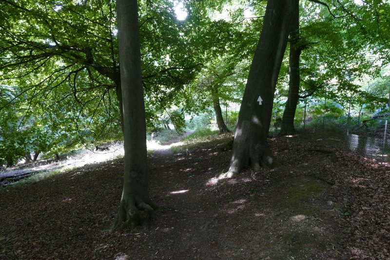
The start of the path after I turned right from the drive to Aston Rowant nature reserve
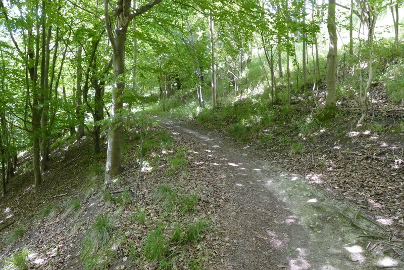
The path after it turns left (where a permissive path goes straight on)
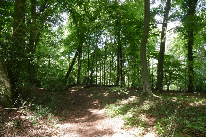
The path continuing northwest through Aston Rowant nature reserve
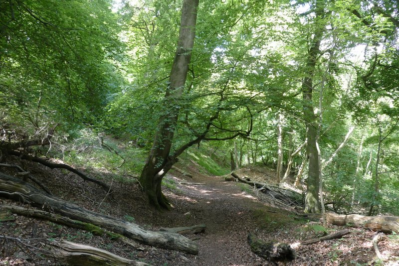
The path continuing northwest through Aston Rowant nature reserve
The path continuing northwest through Aston Rowant nature reserve
The path continuing northwest through Aston Rowant nature reserve
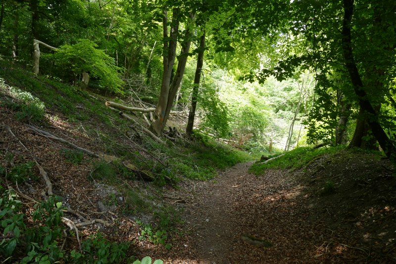
The path continuing northwest through Aston Rowant nature reserve
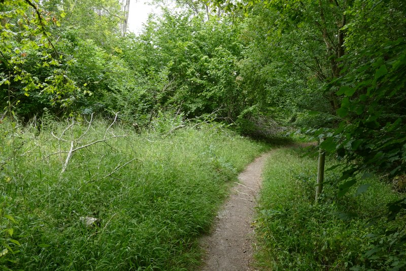
The path continuing northwest through Aston Rowant nature reserve